An Active Cave Beneath the Taurus Mountains
Altınbeşik Cave History & Significance
Discover how underground rivers, limestone and centuries of water movement created
one of Antalya’s most extraordinary natural landmarks.
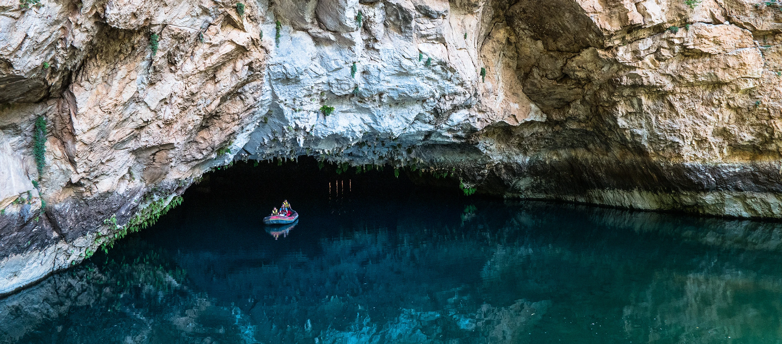
Altınbeşik Cave lies on the western side of the steep Manavgat Valley,
close to Ürünlü Village in the İbradı district. The surrounding landscape belongs to the
Taurus Mountain karst belt, an area shaped by soluble limestone, underground drainage systems,
sinkholes, springs and deep valleys.
The cave was recorded and studied during speleological work beginning in the 1960s.
Further investigations by Turkish and international teams gradually revealed its complex
multi-level structure. The surrounding area was declared
Altınbeşik Cave National Park in 1994.
Traditional descriptions give the cave a documented length of approximately
2,500 metres, with its highest known point rising around
101 metres above the entrance level. It developed across three main levels.
The lower and middle levels remain hydrologically active, while the upper level is generally dry.
During wetter periods, underground streams and rising water can fill large parts of the cave.
In drier months, calmer pools and the entrance lake make controlled visitor access possible.
This seasonal relationship with water is the main reason opening arrangements can change
from one part of the year to another.
The cave forms the outlet of an extensive underground drainage system collecting water from
the surrounding karst landscape. Official regional sources also describe a subterranean
hydrological connection with the wider Beyşehir Lake system.
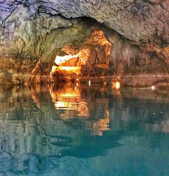
The name Altınbeşik means “Golden Cradle.” It is associated with a yellow-toned
natural limestone bridge inside the cave whose shape was compared to a cradle.
The name was later also used for the hill and national park surrounding the cave.