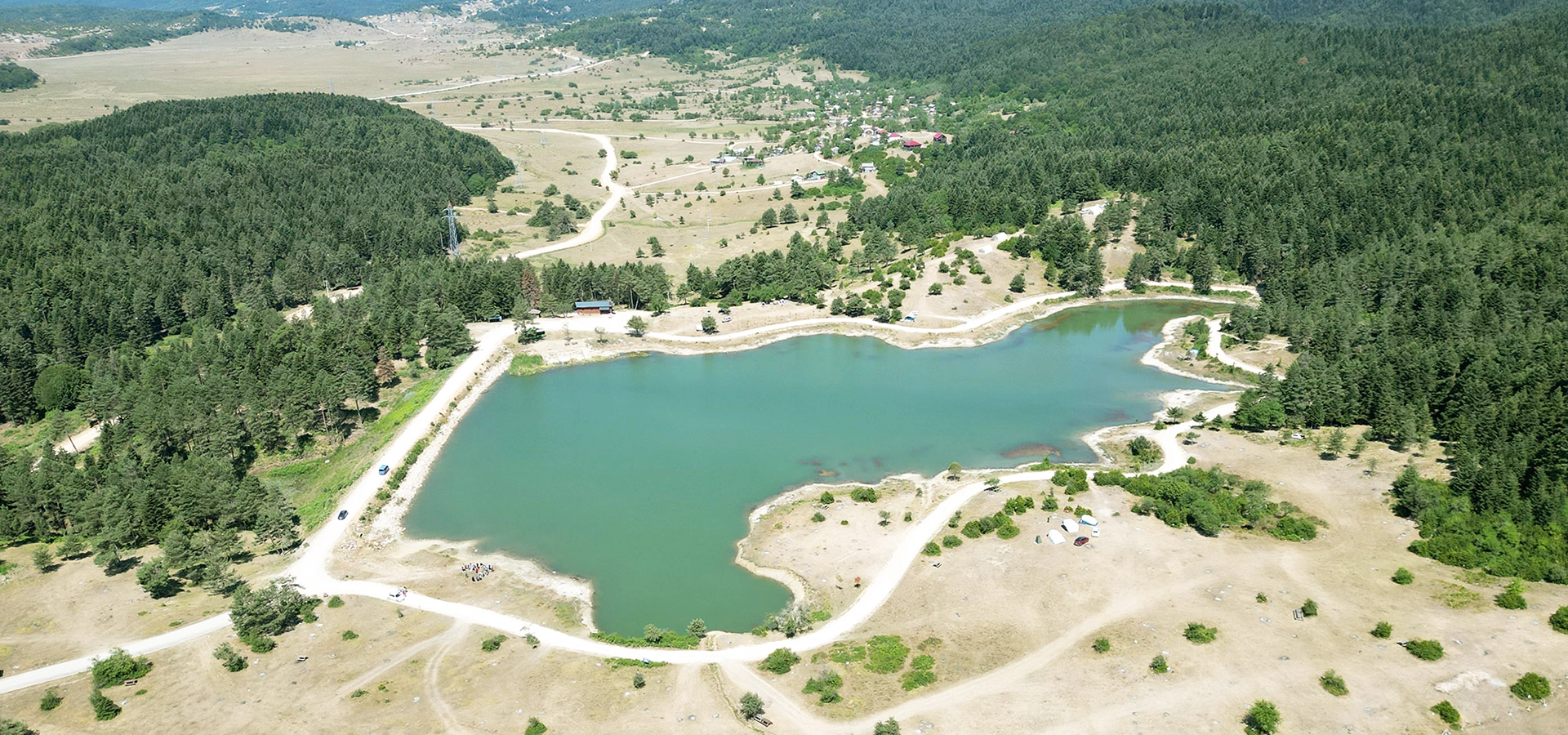
Private Taraklı & Karagöl Plateau Tour
Ask us about a tailor-made day combining Ottoman heritage, traditional town life, mountain scenery, short walks, photography stops and the peaceful landscapes of southern Sakarya.
Request a Custom Tour





Hidden in the mountains northeast of Taraklı, Karagöl Plateau is one of the most rewarding natural escapes in southern Sakarya. The plateau spreads across a broad highland basin surrounded by pine, beech, fir and oak forests, with cool air, open grassland and a landscape that changes dramatically with the seasons.
Official Sakarya tourism information places the plateau approximately 21 kilometres northeast of Taraklı and around 1,200 metres above sea level. Its highland settlement area extends across roughly 567 hectares, making it large enough to feel expansive even when visitors arrive for summer weekends.
Karagöl is especially distinctive in spring. As mountain snow melts, water temporarily fills shallow depressions and winding channels across the meadow. When the water gradually withdraws, the plateau turns intensely green and develops the remarkable meandering water patterns that have become one of its best-known visual features.
The plateau is also a living cultural landscape. Traditional wooden yayla houses stand across the highland, local people continue seasonal mountain traditions, and a Friday market has long formed part of plateau life during the active season.
For travelers, Karagöl works beautifully as the natural counterpart to the Ottoman streets and houses of Taraklı. A day can begin with historic architecture in town and continue among mountain forests, walking trails, open meadows and cool highland air.
A cool mountain plateau in the uplands northeast of Taraklı.
A broad highland settlement and meadow landscape surrounded by forest.
Snowmelt fills shallow channels and depressions before the meadows turn vivid green.
Karagöl is a popular base for trekking, nature photography and highland camping.
Essential information for visiting one of Taraklı's best-known highland landscapes in the mountains of southern Sakarya.
Mountain highlands northeast of Taraklı, Sakarya.
Open on Google MapsApproximately 1,200 metres above sea level according to official Sakarya tourism information.
Approximately 567 hectares of highland settlement, meadow and surrounding natural landscape.
Approximately 21 km northeast of the historic town.
Karagöl is the starting point of an approximately 8 km trekking route through neighboring highlands.
Open meadow surrounded by pine, beech, fir and oak forests.
Karagöl is more than a viewpoint or picnic stop. It is a broad seasonal highland where geology, water, forest, pastoral life and traditional mountain settlement come together.
What makes Karagöl memorable is the contrast between open upland meadow and dense mountain forest. The plateau floor feels spacious and exposed, while the surrounding slopes are wrapped in mixed woodland. This creates a landscape that changes constantly as you walk or drive across it.
The plateau's most unusual feature appears during and after the spring thaw. Snowmelt moves across the shallow basin, filling depressions and channels and creating temporary pools and sinuous watercourses. From higher viewpoints, these channels can form striking patterns through the grass.
Karagöl is also important because it remains connected with yayla culture. Wooden seasonal houses, traditional craft connections, local market activity and summer stays keep the plateau tied to everyday regional life rather than turning it into a purely scenic attraction.
For travelers exploring Taraklı, the plateau adds a completely different experience: Ottoman urban heritage below, then cool forests and open highland country above. That combination makes this one of the strongest cultural-and-nature pairings in Sakarya.
Karagöl lies in the mountainous country northeast of Taraklı, within the wider upland system connected with the Samanlı Mountains. Official provincial information places the plateau at roughly 1,200 metres elevation.
At this height, temperatures are generally cooler than in the lower valleys, and seasonal change is much more visible. Snow can remain important well into spring, summer brings green meadows and active plateau life, and autumn transforms the surrounding mixed forests.
The plateau itself is broad and gently undulating rather than a sharp mountain summit. Its basin-like form allows meltwater to spread through low areas, which helps create the temporary pools, channels and meanders that give Karagöl its distinctive spring appearance.
The surrounding woodland forms an important visual frame. Pine, beech, fir and oak are repeatedly identified in official descriptions, creating a mixed forest landscape with different colors and textures through the year.
A broad mountain meadow rather than a narrow summit or cliff-top viewpoint.
Official sources generally place the plateau at about 1,200 metres above sea level.
Snowmelt collects in shallow channels and depressions before gradually draining away.
Pine, beech, fir and oak surround the open highland landscape.
Wide grassy areas give Karagöl a very different character from the densely wooded slopes around it.
The elevation creates noticeably cooler conditions than the lower Taraklı and Geyve valleys.
Spring is the season when Karagöl reveals its most unusual landscape. As snow melts on the surrounding uplands, water moves onto the plateau floor and temporarily fills shallow depressions and natural channels.
Official descriptions note that the highland can be covered by water during the spring thaw. As conditions become warmer, the water gradually retreats, leaving behind fresh grassland and winding wet channels.
These curves are often described as meanders. Seen from elevated ground or aerial viewpoints, they trace dark or reflective lines through bright green pasture, creating one of the most recognizable scenes associated with Karagöl Plateau.
The exact appearance varies from year to year. Snowfall, spring temperatures and rainfall all influence how much water is present and how long it remains. Visitors should therefore think of this as a natural seasonal phenomenon rather than a guaranteed fixed landscape.
The broad meadow may be Karagöl's visual center, but the surrounding forest is equally important to the character of the plateau. Official tourism sources identify pine, beech, fir and oak as common trees in the area.
This mixture produces strong seasonal variety. Evergreen areas remain dark and dense through winter, while deciduous woodland changes from fresh spring green to deeper summer foliage and then to autumn tones.
The forest also gives the plateau its sense of enclosure. Even when the central meadow feels open, the tree-covered slopes create a continuous natural horizon around much of the highland.
For walkers and photographers, this transition between open grassland and wooded edge is one of Karagöl's greatest strengths. A short route can move from wide views and open sky into shaded forest scenery within minutes.
Evergreen pine contributes to the dark forest belt surrounding the plateau.
Beech adds rich seasonal color, especially in spring and autumn.
Fir trees reinforce the cool, high-elevation forest character of the landscape.
Oak woodland adds variety to the mixed mountain forest around the plateau.
The meeting point between meadow and trees creates some of the plateau's best walking and photography areas.
Spring greens, summer depth, autumn foliage and winter snow create four very different moods.
Karagöl is not an empty wilderness. It is a traditional yayla settlement landscape where mountain houses and seasonal use have shaped the character of the plateau for generations.
Official tourism descriptions note that many of the plateau houses are built largely from wood. Some have historically been rented to summer visitors, reflecting the long tradition of people spending warmer months in the cooler mountain environment.
This living dimension is important. Visitors are sharing space with a landscape used by local residents, seasonal households, grazing animals and small-scale businesses rather than entering a conventional fenced attraction.
Treat the plateau as both a natural environment and a local community space. Stay on appropriate tracks, keep noise under control near houses, do not enter private property and never photograph residents at close range without permission.
Traditional highland homes are one of the defining cultural features of Karagöl.
Yayla life is closely connected with the warmer months and the long Anatolian tradition of moving to upland pastures.
Remember that parts of the plateau remain lived-in and privately used.
Animals, farm activity, vehicles and local gatherings can all be part of the highland experience.
Official sources note that some wooden houses have historically offered seasonal pension-style stays.
Ask before entering private areas or photographing people and their homes closely.
Official Sakarya tourism information describes a Friday market as part of Karagöl's traditional plateau life. The market has historically brought local products, crafts and social activity together in the highlands.
One of the strongest cultural connections is with the woodworking traditions of Taraklı. The district is historically associated with wooden spoon and comb making, and official tourism descriptions specifically mention handmade wooden spoons and other household objects in connection with the plateau market.
Because seasonal market activity can change, do not plan an entire journey around the market without checking locally first. Its schedule, number of stalls and level of activity may vary with the season, weather and local arrangements.
When it is operating, however, the market adds something valuable to a Karagöl visit: it turns a beautiful landscape into a place where visitors can also encounter living local traditions.
Visitors will also encounter a lake-like water body within the wider plateau landscape. Official Sakarya information notes that an artificial Karagöl lake was created in the Mahtumlar highland area in 2009.
The water creates an attractive visual focus beside the open meadow and forest edge. It has become associated with picnicking, resting and camping in the wider Karagöl recreation landscape.
It is useful to distinguish this permanent or managed water feature from the plateau's seasonal spring channels. The famous meandering patterns are linked with snowmelt and changing water conditions across the meadow, while the lake is a separate modern feature.
Water-edge conditions can change after rain or during the spring thaw. Use established access points where possible, keep children supervised and avoid driving onto soft meadow ground.
Karagöl is one of Sakarya's recognized trekking areas. The Culture Portal describes an approximately 8 km route connecting the Karagöl, Yanık and Beykübet highlands, with Karagöl serving as the starting point.
That official route is listed with a low difficulty rating, making it suitable for travelers who are relatively new to hiking when weather and ground conditions are good. The plateau itself also contains shorter informal walking possibilities.
The easiest experience is simply to walk across the open highland, follow the edge of the meadow and explore sections where forest and grassland meet. Longer routes should be approached with a proper map, charged phone, water, weather-appropriate clothing and enough daylight.
Spring can bring waterlogged or muddy ground, while winter may involve deep snow. Official trekking information specifically warns that snow can be substantial in winter and recommends appropriate winter equipment.
An official trekking route links Karagöl with neighboring Yanık and Beykübet highlands.
The official route is listed with a low difficulty rating under normal conditions.
You do not need to complete the full route to enjoy the meadow and forest scenery.
Snowmelt can make parts of the plateau wet, soft and slippery.
Cold-season hiking can require specialized footwear and snow equipment.
For longer walks, use offline mapping and do not rely only on visible vehicle tracks.
Camping is one of the activities most strongly associated with Karagöl. Official tourism sources describe the plateau as a place where large numbers of nature lovers have traditionally camped and stayed during the warmer season.
The appeal is easy to understand: open meadow, cool evening air, forest scenery and a broad mountain sky create a memorable setting. But camping on a working plateau also requires more care than using a fully serviced campground.
Do not assume that every open patch of grass is public camping space. Avoid private house plots, grazing areas, soft wetland sections and places where a tent could block local vehicle access. Check current local rules and any designated camping arrangements when you arrive.
Temperatures can fall sharply after sunset even when the day is warm. Bring proper insulation, a weather-resistant tent, headlamps, water and a plan for taking all rubbish away with you.
High elevation can produce cold evening temperatures even in summer.
Avoid wet depressions and drainage channels that may collect water after rain.
Keep a generous distance from occupied plateau homes and private property.
Take every piece of rubbish with you and avoid damaging grassland or forest.
Do not light fires unless current rules clearly allow it and conditions are safe.
Weather and local access conditions can change quickly in mountain areas.
The wider Karagöl highland has also attracted outdoor-sport enthusiasts. Taraklı district information specifically highlights paragliding as one of the activities associated with the area.
Official local information describes a natural grass launch area at roughly 1,100 metres within the broader Karagöl plateau zone, with prevailing winds commonly from the north to northwest. The exact launch conditions depend on weather and should only be assessed by experienced pilots or qualified local operators.
The area is also mentioned in connection with walking, camping and canyoning. These activities should not be treated as casual add-ons without preparation. Mountain weather, route knowledge, water levels and local permissions can all matter.
If you are visiting only for sightseeing, you can still enjoy the open grassland and elevated viewpoints without participating in technical sports. Karagöl's scenery is the main attraction in its own right.
Walk into the broad grassy basin and experience the scale of the plateau.
Look for winding snowmelt channels crossing the bright green landscape.
Explore the transition between open pasture and pine, beech, fir and oak woodland.
Traditional highland architecture gives Karagöl cultural character as well as natural beauty.
Pause beside the modern water feature that has become part of the recreation landscape.
Choose a short meadow walk or follow the longer trekking connection toward neighboring highlands.
If operating during your visit, the market adds local craft and community life to the experience.
Pair the plateau with historic Taraklı for one of Sakarya's best nature-and-culture days.
Karagöl is best enjoyed without a rushed checklist. The experience is less about a single monument and more about moving slowly through a broad mountain landscape.
You may begin with a viewpoint over the meadow, walk toward the water channels, stop near the forest edge, watch clouds move across the highland and then spend time around the lake or traditional houses.
On a clear summer day, the plateau can feel bright and open. In spring, it may be wet and intensely green. Autumn can be quieter and more colorful, while winter can transform the area into a snow-covered mountain environment requiring much greater preparation.
The plateau's calm atmosphere is one of its greatest strengths. Allow room in your schedule simply to sit, walk, photograph and enjoy the cooler air before returning to Taraklı.
Enough for a short scenic stop, photographs and a brief walk near the main plateau area.
A comfortable visit for exploring the meadow, forest edge and lake without rushing.
Ideal for a longer walk, picnic and time to enjoy different parts of the plateau.
A strong choice for hikers, photographers and travelers who want a relaxed highland experience.
Combine Karagöl with historic Taraklı, allowing time for both nature and Ottoman architecture.
Suitable for prepared campers or travelers using locally available seasonal accommodation.
The best time depends on what you want to see. Karagöl changes more dramatically through the year than many lower-elevation attractions in Sakarya.
Late spring is excellent for fresh green scenery and the water patterns created by snowmelt, although parts of the ground can remain wet or muddy.
Summer is the easiest season for walking, picnicking, camping and experiencing active plateau life. The higher elevation also makes Karagöl a refreshing escape from hotter lowland temperatures.
Autumn brings quieter conditions and beautiful forest color, while winter can be spectacular but much more demanding because of snow, ice and possible access difficulties.
Best for spring transformation, snowmelt channels and fresh meadow color; expect wet ground.
Excellent balance of green scenery, longer daylight and generally easier walking conditions.
Popular for camping, picnics and highland stays; weekends can be busier.
Cooler temperatures and changing forest color make this a rewarding photography season.
Snow can be deep. Visit only with suitable vehicle access, equipment and current local information.
Arrive early for calmer conditions, softer light and more time to combine the plateau with Taraklı.
Karagöl is particularly rewarding for landscape photography because it contains several very different visual layers in one place: open meadow, curving water channels, forest, traditional houses, lake reflections and wide mountain skies.
In spring, look for elevated angles that reveal the shape of the meanders. In summer, use the contrast between vivid grass and dark forest. In autumn, focus on mixed woodland color around the plateau edge.
Morning and late-afternoon light generally provide softer contrast than the middle of the day. After rain, low cloud and mist can create a very atmospheric highland mood.
Drone use must follow current Turkish aviation rules, local restrictions and privacy considerations. Do not fly close to houses, people, animals or active paragliding areas.
Use higher ground to capture the curves and patterns created by snowmelt.
Calm water can create attractive reflections near the lake area.
Traditional plateau architecture adds cultural depth to landscape compositions.
Low-angle light emphasizes the texture of the grass and surrounding hills.
Mountain weather can create dramatic atmosphere even when long-distance views disappear.
Avoid photographing local residents or private homes at close range without permission.
Karagöl is an open highland landscape rather than a conventional museum or ticketed attraction. There are no standard museum-style opening hours to plan around, but mountain access, weather, local events and seasonal conditions can strongly affect a visit.
The plateau is most straightforward to explore during daylight and in stable weather. If you are planning a winter visit, an overnight stay, a long trek or a technical outdoor activity, check current conditions locally before departure.
Facilities can be seasonal and should not be assumed to operate every day. Bring drinking water, food, weather protection and any personal supplies you may need even if you expect local services to be available.
Karagöl is a natural highland rather than a fully paved visitor attraction. Ground conditions include grass, earth tracks, uneven surfaces and seasonally wet areas.
Visitors with reduced mobility may still enjoy parts of the landscape from vehicle-accessible areas, but exploring the meadow, water channels and forest edge can involve soft or uneven ground.
Spring snowmelt and rain can make surfaces muddy, while winter adds snow and ice. Anyone with mobility concerns should choose dry-weather conditions and avoid relying on unverified step-free access.
Expect grass, soil, stones and uneven rural surfaces rather than continuous pavement.
Spring channels and rainfall can make sections of meadow soft or muddy.
Some scenic areas may be appreciated without a long walk, depending on current road access.
Snow and ice can significantly reduce accessibility.
Supportive footwear is recommended even for a relatively short visit.
Current conditions are more important here than fixed accessibility descriptions.
Karagöl Plateau lies approximately 21 km northeast of Taraklı in the mountain country above southern Sakarya. The broader official tourism listing places it roughly 80 km from Sakarya's city centre.
For most independent travelers, a private vehicle is the most practical option because the plateau is well outside Taraklı's compact historic centre and public transport options can be limited or seasonal.
Road conditions should be treated as variable. Mountain routes can be affected by heavy rain, mud, snow, ice or maintenance, especially outside summer. Use current navigation but also follow local road signs and advice.
If you are combining Karagöl with Taraklı, visit the historic town first or last depending on daylight and weather. The combination works particularly well because the two places offer completely different experiences within the same district.
Approximately 21 km northeast into the surrounding mountain highlands.
The most flexible way to reach the plateau and explore the wider Taraklı area.
Search for “Karagöl Yaylası, Taraklı, Sakarya” and verify the route against current local signs.
Check snow and road conditions before driving into the highlands.
Mountain roads are easier to navigate when you arrive and depart before dark.
Historic Ottoman streets and highland nature make an excellent full-day pairing.
Begin at an open viewpoint where you can understand the scale of the plateau. Look across the meadow toward the surrounding forest belt before heading deeper into the highland.
Next, walk toward the seasonal water channels or low meadow areas. In spring these can be the most photogenic part of Karagöl, while in summer they may appear as greener or lower lines through the grass.
Continue toward the forest edge to experience the contrast between open plateau and dense mixed woodland. Choose a short walking loop unless you are properly prepared for a longer trekking route.
Then spend time near the lake area or another open rest point. This is a good place for a picnic, photography or simply a quiet break in the mountain air.
Before leaving, take time to notice the wooden yayla houses and the human landscape around them. If the Friday market is operating, it can add an interesting local cultural dimension to the visit.
Finish the day in Taraklı, where Ottoman houses, traditional streets and the district's slow-city atmosphere create an excellent contrast with the open highland.
Karagöl works best as part of a wider Taraklı and southern Sakarya journey. See our complete Sakarya visitor guide for more destinations across the province.
Walk through one of Sakarya's most atmospheric historic towns, known for Ottoman houses, traditional streets and its Cittaslow identity.
Continue toward Alifuatpaşa for National Struggle history, Ali Fuat Cebesoy and the story of the Kuvâ-yi Milliye.
Follow the province's great river northward and discover how dramatically Sakarya's landscapes change from mountain plateau to Black Sea coast.
Add another major natural landscape to a longer Sakarya itinerary with lakeside views and mountain scenery.
Balance mountain nature with Byzantine history at one of the province's most important Late Antique monuments.
Discover waterfalls, forests, lakes, museums, historic towns and Black Sea landscapes across the wider province.
Karagöl Plateau is located in Taraklı district of Sakarya Province, in the mountain highlands approximately 21 km northeast of Taraklı town.
Official Sakarya tourism information generally places Karagöl at approximately 1,200 metres above sea level. Some activity descriptions use slightly lower figures for specific areas within the broader plateau zone.
Official tourism information describes the highland settlement area as approximately 567 hectares.
The plateau is approximately 21 km northeast of Taraklı.
It is known for its highland meadow, mixed forests, spring snowmelt channels, wooden plateau houses, camping and trekking scenery.
Yes. Official provincial information notes that an artificial lake was created in the Mahtumlar highland area in 2009. This should be distinguished from the seasonal snowmelt channels that spread across the meadow in spring.
They are associated with the spring snowmelt period. Their exact appearance changes from year to year depending on snowfall, temperature and rainfall.
Yes. An official approximately 8 km trekking route begins at Karagöl and connects with neighboring highlands, and there are also shorter walking possibilities across the plateau.
The Culture Portal lists the main route with a low difficulty rating under normal conditions. Weather, mud, snow and navigation can still make mountain walking more demanding.
Camping has long been one of the activities associated with Karagöl. Visitors should still check current local rules, respect private and grazing areas and follow fire restrictions.
The wider Karagöl plateau area is officially promoted for paragliding. Flying should only be undertaken with appropriate experience, equipment, weather assessment and compliance with current aviation rules.
Official tourism descriptions repeatedly identify pine, beech, fir and oak around the plateau.
Yes. The plateau is known for wooden yayla houses, and official sources note that some have historically offered seasonal accommodation to visitors.
Official tourism information describes a Friday market connected with local plateau life. Because seasonal arrangements can change, check locally if the market is important to your plans.
Late spring through early autumn is the easiest period for most visitors. Late spring is especially attractive for snowmelt channels, while summer is best for camping and longer outdoor stays.
Yes, but winter conditions can involve deep snow, ice and difficult road access. Only visit with suitable equipment and up-to-date local information.
Allow at least 2–4 hours for a relaxed scenic visit. A full day is ideal if you also plan to explore historic Taraklı.
Yes. Karagöl and Taraklı make one of Sakarya's best full-day combinations, pairing highland nature with Ottoman architecture and traditional town life.
Yes for families comfortable with natural outdoor terrain, but children should be supervised around water, vehicles, animals, steep roadside areas and uneven ground.
Yes, especially for travelers interested in mountain scenery, walking, camping, landscape photography and local highland culture. It is particularly rewarding when combined with Taraklı.
Carry out everything you bring in, including food waste, bottles, tissues and cigarette ends.
Do not drive onto soft meadow, seasonal channels or waterlogged ground.
Wooden houses, gardens and grazing areas may be privately used even when they appear open.
Forest-fire risk can be serious. Follow current restrictions and never leave any flame unattended.
Preserve the quiet character of the plateau and respect residents, campers, walkers and wildlife.
Use established roads and paths where possible to reduce damage to grassland and forest edges.
Keep dogs under control around livestock, wildlife, local homes and other visitors.
Do not collect plants, damage trees, carve wood or disturb water channels and meadow habitats.
Combine historic Taraklı, Karagöl Plateau, mountain landscapes, traditional villages, walking routes and the cultural heritage of southern Sakarya through a private itinerary designed around your interests.
Begin among the Ottoman houses and quiet streets of Taraklı, then travel into the mountains for open meadows, forest scenery, seasonal water channels and a relaxed highland walk at Karagöl Plateau.
Ask us about a tailor-made day combining Ottoman heritage, traditional town life, mountain scenery, short walks, photography stops and the peaceful landscapes of southern Sakarya.
Request a Custom Tour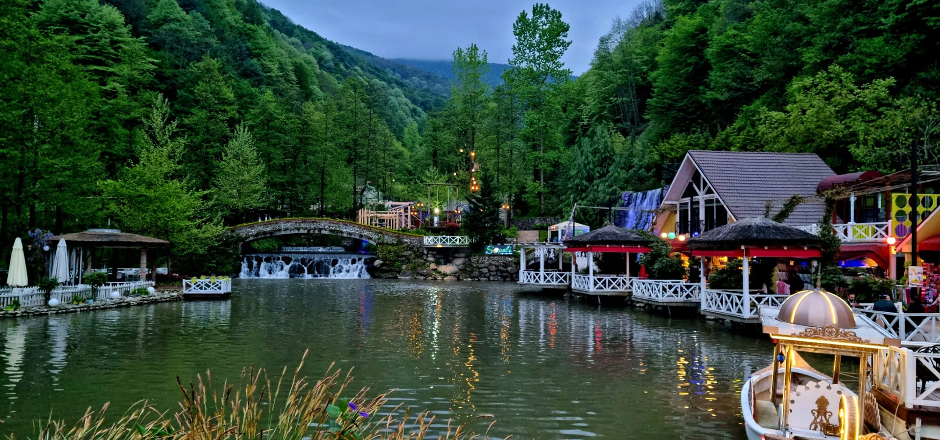
Discover historic towns, mountain plateaus, lakes, rivers, waterfalls, forests, museums and Black Sea landscapes throughout Sakarya Province.
View Sakarya GuideConnect Karagöl Plateau with more of the province's historic towns, cultural landmarks and natural landscapes.
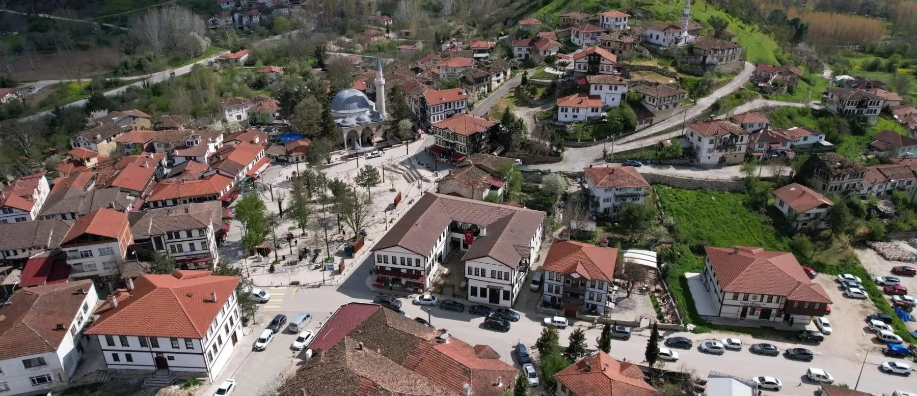
Walk through historic streets, Ottoman houses and the slow-city atmosphere of one of southern Sakarya's most distinctive towns.
Explore Taraklı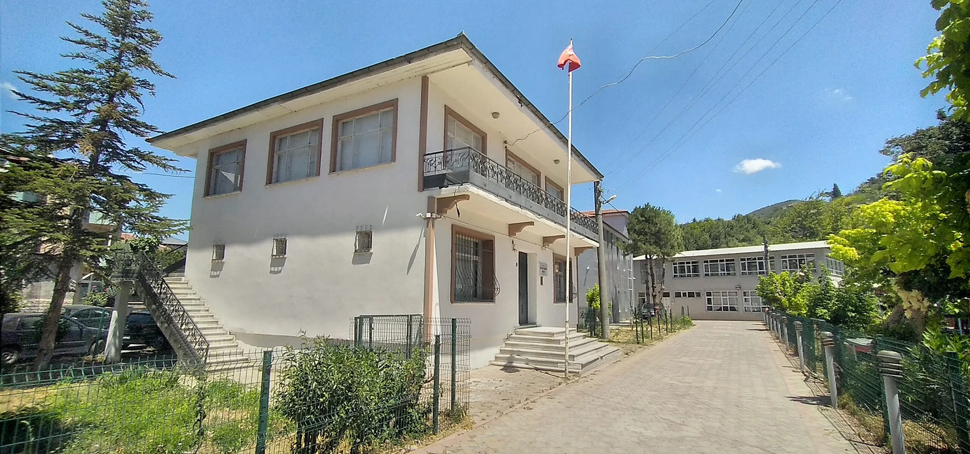
Continue into the National Struggle story with Ali Fuat Cebesoy, the Kuvâ-yi Milliye and the historic landscape of Alifuatpaşa.
Explore the Museum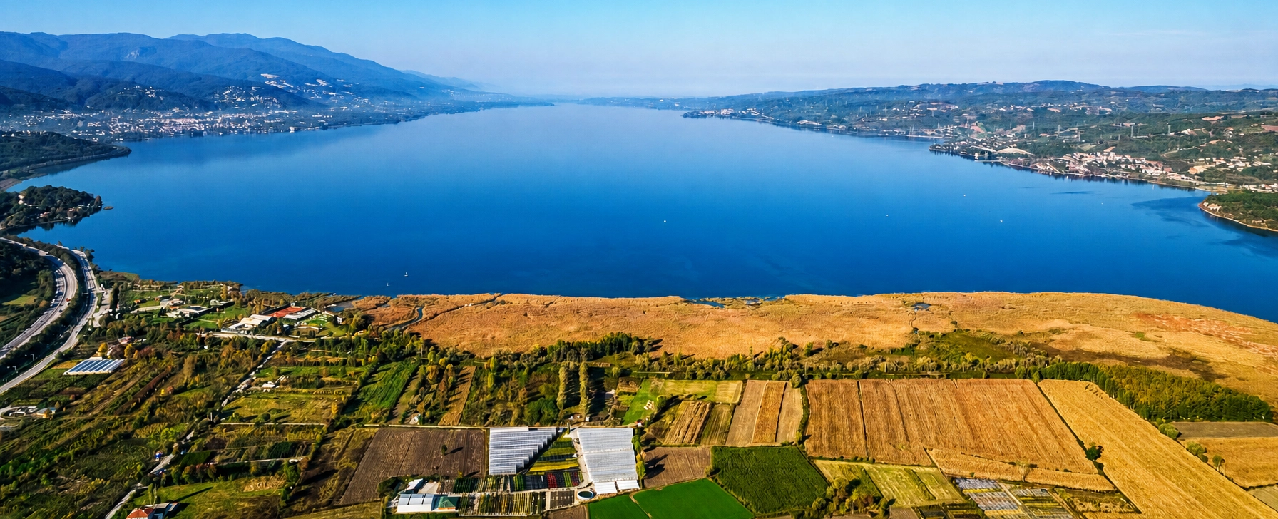
Continue your Sakarya nature journey with lakeside views, waterfront walks and mountain scenery at one of the province's best-known destinations.
Explore Sapanca Lake