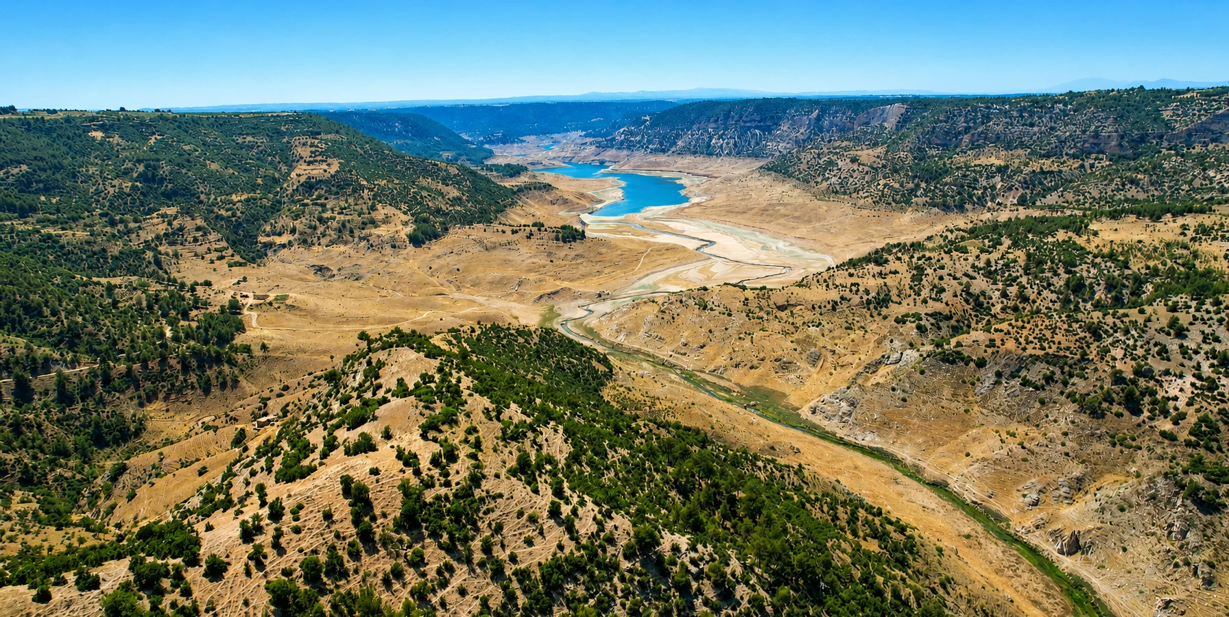
Çal, Denizli
Explore the district’s rural villages, natural landscapes and cultural heritage.
Discover Çal





Hidden in a green ravine near Sakızcılar neighbourhood in the Çal district of Denizli, the beautiful Sakızcılar Asmaaltı Waterfall is better known by its evocative local name: Ağlayan Kaya, or Crying Rock. Water pours over a rock face approximately 30 metres high, bringing movement and coolness to an intimate countryside setting.
Unlike the wide terraces of Pamukkale, this corner of Denizli is about moss-covered rocks, the sound of cascading water, shady greenery and the simplicity of rural life. Local sources also describe a beloved picnic and trout-farm setting called Hocanın Yeri, whose services and access arrangements should be checked before a visit.
This guide covers the waterfall’s names and location, the journey from Denizli and Çal, seasonal conditions, photography, visitor safety, and how to combine the area with Çal vineyards, village landscapes and nearby historical attractions.
Water falling over a dramatic rocky face.
The locally famous “Crying Rock”.
A green escape in inland Denizli.
A traditional trout and picnic association.
The key facts, alternate names and planning essentials for Ağlayan Kaya.
Sakızcılar, Çal district, Denizli, Türkiye.
Sakızcılar Asmaaltı Waterfall.
Ağlayan Kaya (Crying Rock).
Approximately 30 metres.
About 22 km, according to the district governorate.
Rocky stream ravine with greenery.
Traditional shaded picnic scenery.
Trout-farming and dining association.
Waterfall photography and nature breaks.
Road access; last section requires local navigation.
Confirm current arrangements before travel.
Grippy shoes and a water bottle.
The appeal of Sakızcılar Waterfall is its unusual combination of flowing water, rock textures and a sheltered natural setting. The waterfall is relatively modest in scale compared with major mountain cascades, but the sight of water running down a tall, green rock face gives it a memorable character.
It is particularly attractive to visitors who enjoy nature photography, quiet rural landscapes and slower travel. Rather than planning a strenuous expedition, treat it as a countryside stop where you can appreciate the scenery and the sound of the water.
Because amenities and path conditions can change, it is best to arrive with a flexible schedule and an understanding that the natural environment, not a commercial attraction, is the main reason to come.
Water cascading over a rocky cliff.
Green shade and the sound of running water.
Interesting textures, water and vegetation.
Local names and rural traditions.
A relaxed stop on a scenic drive.
Combine nature with Çal heritage.
Official Turkish tourism sources use Sakızcılar Asmaaltı Şelalesi, while district sources often call it Sakızcılar (Ağlayan Kaya) Şelalesi. The short name Sakızcılar Waterfall is also understandable in English.
The poetic name Ağlayan Kaya means “Crying Rock”. It refers to the striking visual effect created as water slips over and down the rock face, as though the stone itself were shedding tears.
You may also encounter the older or alternative reference Sakızcılar (Yeşildere) Waterfall. When asking locally or checking maps, include Çal, Sakızcılar to avoid confusion with other waterfalls carrying similar names elsewhere in Türkiye.
Sakızcılar Asmaaltı Şelalesi.
Ağlayan Kaya Şelalesi.
Crying Rock Waterfall.
Sakızcılar Waterfall.
Sakızcılar, Çal, Denizli.
Search both the waterfall name and its locality.
Sakızcılar Waterfall is in Sakızcılar neighbourhood of Çal, Denizli Province, in a small watercourse immediately to the north of the settlement. It belongs to the wider inland landscape north of Denizli city rather than the central Pamukkale archaeological and travertine zone.
The Çal District Governorate describes the waterfall as approximately 22 kilometres from Çal district centre. That figure is a town-to-waterfall regional distance, not a guarantee of distance from every hotel or village.
For final approach, identify the Sakızcılar Asmaaltı / Ağlayan Kaya destination on a current map and follow local road signs where present. Rural routes and individual access points can differ.
Denizli.
Çal.
Sakızcılar.
Stream valley just north of Sakızcılar.
Approximately 22 km.
Check current map directions before departure.
The Turkish Ministry of Culture and Tourism and the Çal District Governorate both describe Sakızcılar Waterfall as dropping from a height of approximately 30 metres. That is the most useful published figure for a visitor guide.
The waterfall is not simply a broad curtain of water across a flat wall. Its appeal comes from the relationship between a narrow descending flow, the irregular rock surfaces and greenery clinging to damp sections of the cliff.
The exact appearance depends on water levels and recent weather. Photographs from different seasons may show a stronger single stream, thinner ribbons or wet rock surfaces.
Approximately 30 m.
Flowing water against an uneven rock face.
Water and greenery in close contact.
Tall rock backdrop within a compact setting.
Flow and colours may vary.
View from established, safe points.
The Turkish name Ağlayan Kaya is an evocative way of describing the waterfall. Water moving over rocks can resemble tears running down a face, especially when several narrow flows appear along the surface.
It is easy to see why the description became popular: the scene feels intimate and atmospheric, with wet rock, vegetation and a constant interplay of motion and stillness.
Visitors should treat the name as a poetic local description, not as evidence of an ancient legend or a historically documented myth. The beauty of Ağlayan Kaya needs no invented folklore.
“Crying” or “weeping”.
“Rock”.
Crying Rock.
Water resembling tears on stone.
An evocative waterfall landscape.
Do not invent an unsupported legend.
At Ağlayan Kaya, the cliff and stream form a green pocket within the broader Çal countryside. Water and moisture support vegetation along parts of the rock face, providing a very different visual experience from the region’s open agricultural plateaus.
The contrast of dark rock, green surfaces and white moving water is what makes the scene distinctive. Trees around the ravine can help provide shade, although exposed areas may still be hot during the height of summer.
The location is an active natural watercourse. Loose stones, wet surfaces and changing water levels deserve more attention than dramatic photographs might suggest.
The central feature of the waterfall.
Moisture-loving plants and surrounding trees.
Water moving through a confined landscape.
Often filtered by the ravine and foliage.
May be uneven or damp.
Avoid damaging plants and wet rock.
Published tourism descriptions confirm the existence of the cascade, but they do not provide a dependable year-round flow guarantee. Like other natural waterfalls, its appearance can change with rainfall, upstream conditions and local water use.
Expect the waterfall to look different during wet periods, after prolonged dry weather and between seasons. The presence of water in a photograph taken one year should not be treated as a live report for the day of your visit.
If seeing a substantial waterfall flow is the main reason for your trip, seek recent local photographs or confirm conditions with a current local contact before making a special journey.
Natural and variable.
Can affect the waterfall’s appearance.
May mean a lighter visible cascade.
May represent earlier conditions.
Check local updates near travel date.
Avoid the ravine in dangerous weather.
Official local and tourism sources mention “Hocanın Yeri” as a place associated with the waterfall, trout and picnicking. It is part of the local identity of the destination and helps explain why people from the surrounding area value the spot.
Historically described as a trout facility and favourite picnic setting, the name may appear when you ask for directions to Ağlayan Kaya. However, a historic description of a place does not establish its current business status, prices, menu or opening hours.
If you plan to stop for a meal, contact the relevant operating venue ahead of time rather than relying on the existence of past trout facilities.
Hocanın Yeri.
Traditional picnic and trout setting.
Recognised in official destination descriptions.
Verify present-day operation.
Recommended for a planned meal.
Bring water and arrange another meal stop.
The Denizli Provincial Directorate of Culture and Tourism describes trout breeding at the base of Sakızcılar Asmaaltı Waterfall. This connection between flowing water and food is a longstanding part of the waterfall’s visitor story.
Local descriptions also associate the area with simple countryside meals. For travellers, that can make a waterfall visit a good opportunity to learn about the rural food culture of northern Denizli.
A trout facility mentioned in an official attraction description is not a promise that fish meals are available every day. Confirm any restaurant, meal or dietary requirement before arrival.
Trout raising near the waterfall.
Freshwater fish and rural dining.
Waterfall and local picnic visits.
Not guaranteed on any given day.
Confirm directly with a venue.
Combine with lunch in Çal or Denizli.
The area is described by official sources as a much-loved picnic destination, especially in connection with Hocanın Yeri. The greenery and running water naturally make it attractive for a leisurely stop.
The practical rules can be different from one spot to another. Do not assume that all stream banks are public picnic areas, that tables are free to use, or that fires and barbecues are permitted.
Use clearly designated places, respect any business-managed sections and local restrictions, and take all rubbish away. For a no-fuss visit, bring drinking water and enjoy a brief nature break without relying on unverified facilities.
A scenic rest in the countryside.
Recognised in local descriptions.
Availability should be checked.
Bring essentials if needed.
Never assume permission.
Remove all waste.
Photographs and educational resources show stairs, railings and developed viewing sections in parts of the waterfall area. These features help visitors approach the scenery, but their current condition is not something an old image can certify.
Expect that a small natural waterfall can involve steps, rock, uneven ground and slippery damp surfaces. A short approach may still be uncomfortable for some visitors, particularly after rain.
Use only open, established paths and do not climb behind the waterfall, cross barriers or scramble onto wet rocks for a better picture. If a path seems damaged, simply enjoy the view from a safer location.
Some paths, stairs and railings appear in published images.
May change through weather and maintenance.
Grippy, closed footwear.
Extra caution on wet surfaces.
Do not cross barriers or climb rocks.
Check access before travelling.
The waterfall’s moisture, stream and surrounding trees create habitat for plants and small wildlife. Moss and green growth around damp rocks form part of its natural beauty.
Birdsong, insects and the movement of water can contribute to the experience, but specific wildlife sightings are never guaranteed. Avoid feeding animals or disturbing nests and plants.
Use the visit as a chance to appreciate the small details of the landscape: water moving over stone, changing reflections and the difference between the ravine and the more open Çal hills.
Green growth in moist locations.
Shade around parts of the ravine.
Possible small birds and streamside creatures.
Quiet observation.
Use distance rather than disturbing habitats.
Do not pick plants or litter.
The most recognisable image of Ağlayan Kaya is the water descending beside greenery and a richly textured rock face. A composition that includes both the waterfall and the surrounding cliff tells the story more effectively than a close crop of water alone.
Soft daylight can help preserve detail in bright water while keeping shaded rock visible. For website and social-media photos, take both horizontal landscape photographs and vertical compositions. Keep the main cascade near the centre for reliable mobile cropping.
Stay behind barriers and avoid dangerous rock positions. When people appear in a photograph, obtain their consent, and do not fly a drone without the permissions required for that location.
Full waterfall and rock setting.
Water, moss and wet stone.
Keep the waterfall centrally placed.
Vertical framing of the drop.
Soft light reduces harsh contrast.
No risky poses on wet rocks.
The waterfall can be appealing in different seasons, but the experience is not identical year-round. Spring often brings fresh greenery and, depending on weather, can be a good period for moving water. Summer makes the shaded setting especially attractive during warm days.
Autumn offers a different colour palette, while winter may mean colder temperatures, wetter paths or challenging conditions. Natural flow and permitted access always take precedence over the calendar.
For a comfortable nature stop, select a time with safe weather, daylight and confirmed local access. A clear day does not eliminate the risk of slippery ground near a watercourse.
Fresh vegetation and possible stronger flow.
Welcome shade during hot weather.
Seasonal colour and quieter atmosphere.
Cold or slippery conditions may occur.
Can affect both scenery and safety.
Depends on recent conditions and local access.
In summer, the waterfall’s shaded setting can feel refreshing compared with the exposed roads and agricultural fields of the Çal region. It makes a useful natural break during a longer countryside drive.
Even where the ravine feels cool, the approach and parking area can be hot. Bring drinking water, sun protection and stable footwear, especially if travelling with children or older guests.
Avoid promising that the waterfall will have the same volume of water shown in winter or spring photographs. Conditions depend on the season and local rainfall.
A green break from summer heat.
Carry water and sun protection.
Avoid smooth-soled sandals on wet paths.
May be lighter during dry periods.
Daylight and comfortable temperatures.
Allow a relaxed pace and rest breaks.
The Turkish Culture Portal describes a route from the Denizli–Pamukkale road: travel towards Korucuk, turn north and continue through the Irlıganlı and Güzelpınar area to Sakızcılar. The waterfall is just north of the settlement in the stream valley.
It also describes a more easterly approach via the Denizli–Ankara road and Kaklık, continuing to Çal and then onward through the district’s countryside to Sakızcılar. These are useful regional route descriptions, not turn-by-turn directions guaranteed to remain unchanged.
Check live navigation and road conditions before departure. If you are visiting multiple rural sites, private transport or a driver is normally easier than piecing together local connections.
Denizli–Pamukkale corridor via Korucuk.
Irlıganlı and Güzelpınar.
Via Kaklık and Çal district centre.
Sakızcılar neighbourhood.
Confirm up-to-date roads.
Private vehicle is practical.
The Çal District Governorate places Ağlayan Kaya roughly 22 kilometres from the Çal town centre. This is an excellent reference point for travellers already touring northern Denizli.
The Culture Portal describes a road heading northwest out of Çal through the Selcen, Sazak, Kaplanlar and Karakaya areas towards Sakızcılar. Local road names and junctions should still be checked against a current map.
Because the waterfall sits beyond the town rather than beside the central square, budget additional time for the drive, parking and any walking involved in reaching a safe viewpoint.
Çal district centre.
About 22 km.
Towards Sakızcılar.
Selcen, Sazak, Kaplanlar, Karakaya.
Traffic and exact route dependent.
Use recent local navigation.
Yes, as a separately planned road excursion. Regional tourism directions identify an approach from the Denizli–Pamukkale corridor towards Sakızcılar. However, this does not make the waterfall part of the Pamukkale travertine site.
If you are staying in Pamukkale or Karahayıt, discuss the stop when designing your route and confirm the final road access. You should not assume that the waterfall is a quick walking detour or that it is included with a Pamukkale–Hierapolis entrance ticket.
For a relaxed visit, keep the archaeological tour and waterfall stop appropriately paced. The timing will depend on your hotel, other stops and the daylight available.
Possible by road with advance planning.
Not inside Hierapolis or the travertine terraces.
Pamukkale tickets do not include this site.
Car or private vehicle recommended.
Confirm for the actual itinerary.
Avoid overloading one sightseeing day.
The Culture Portal notes that minibus service operates between Denizli’s bus station and Çal district. That is useful for reaching the wider region, but the waterfall itself is outside the town centre.
A transport connection to Çal does not necessarily provide a direct service to the waterfall entrance. Rural timetables and the final leg to Sakızcılar can vary, so confirm them locally before relying on public transport.
For travellers with limited time, mobility concerns or a multi-stop itinerary, a private car, taxi arrangement or prebooked transfer can make the visit significantly simpler.
Denizli to Çal minibuses are described by official tourism sources.
Check Sakızcılar onward transport.
Not guaranteed.
Plan before departure.
Driver or private transport.
Do not rely on assumed rural timetables.
There is no independently confirmed, universal October 2026 price list for every part of the Sakızcılar Waterfall area or any associated private facilities. Online listings sometimes describe free access, but these should not be taken as a guarantee of what you will encounter.
A Ministry of Education local learning-resource listing gives 09:00–17:00 as published visiting hours. Other sources show different times; therefore, this page does not certify one schedule as the current, official opening time. Dining facilities can follow separate rules.
Check any applicable entry arrangements, opening times, pathway conditions and restaurant service before making a special journey. Never interpret a public waterfall listing as unrestricted access after dark.
Not verified as a universal current rate.
09:00–17:00 in an education resource.
Reconfirm locally; listings conflict.
Separate and venue-specific.
May be affected by maintenance or weather.
Check before you leave.
If you simply want to see and photograph the cascade from a permitted viewpoint, you may need only a short sightseeing stop, assuming access is straightforward.
For a more relaxed visit with photography, time to enjoy the surroundings or an arranged meal near the waterfall, allow a longer break. The duration depends on access, weather and whether a food venue is actually operating.
In a private Denizli itinerary, it often makes sense to treat Ağlayan Kaya as one thoughtfully chosen natural attraction rather than trying to squeeze several distant waterfalls and historical sites into a single hour.
Often the shortest type of visit.
Allow time to explore safe viewing areas.
Only if a venue is confirmed.
Approach, parking and path access.
Allow additional time.
Balance nature and driving time.
The waterfall is promoted primarily for natural scenery and picnicking, not as an officially managed swimming beach or designated bathing attraction.
Do not assume that the pool beneath a waterfall is safe because the water looks clear. Potential hazards include cold water, hidden depth changes, slippery rocks, currents and falling stones. Water quality and swimming permissions have not been independently confirmed for this guide.
The safest recommendation is to enjoy the waterfall from approved viewing areas and avoid entering the water unless a competent local authority specifically designates a safe, permitted place.
Sightseeing and nature.
Not confirmed.
Cold water and changing conditions.
Slippery surfaces and unstable edges.
Keep under direct supervision.
Use safe viewpoints.
The waterfall can make a pleasant countryside outing for families interested in water, trees and rural landscapes, provided conditions are suitable.
Parents should not assume that the approach is stroller-friendly or that every viewpoint has guardrails in good condition. Keep children away from steep rock edges, running water and any farming or service equipment.
Bring drinks and suitable shoes, choose a reasonable time of day, and be ready to shorten the stop if the path, weather or facilities are less comfortable than expected.
A memorable waterfall and nature scene.
Essential near water and cliffs.
Access has not been verified.
Check toilets and seating in advance.
Arrange or bring essentials.
Keep plans flexible.
Publicly available pictures show that sections of the site have used stairs and raised or railed paths. These features do not establish that there is a continuous barrier-free route to the cascade.
Wheelchair users and visitors with limited mobility should seek current, location-specific information about parking, surface gradients, steps, handrails and the closest safe viewpoint.
For a private tour, describe mobility needs before the route is finalised. An accessible view from a nearby point may be possible in some conditions, but it should not be promised without local confirmation.
May be present.
Potentially uneven or damp.
Condition should be verified.
Not reliably confirmed in this guide.
Ask about the nearest suitable area.
Tailor the visit to actual access.
Natural waterfalls are dynamic environments. Wear closed, non-slip shoes, pay attention to wet rock and remain on established routes. Do not lean over drop-offs or climb behind flowing water.
After heavy rain, a narrow watercourse can become more hazardous due to faster flow, muddy ground and falling debris. If weather alerts, strong current or damaged barriers are present, postpone the visit.
Avoid visiting alone after dark, carry a charged phone and tell someone your travel plan if exploring rural roads. Respect any closure, sign or staff instruction, even if a map shows the location as open.
Good grip is essential.
May increase hazards.
Stay away from edges.
Never bypass them.
Preferred for paths and navigation.
Keep a charged phone and route information.
Part of the waterfall’s appeal is the sense of a natural place close to a living rural community. Leave no rubbish behind, minimise noise and avoid disturbing wildlife and vegetation.
Please respect local residents and any private or commercially managed sections of the site. Photograph people only with permission, and do not enter adjacent agricultural land simply to find an unusual camera angle.
Waterfall environments are especially vulnerable to careless trampling. Stay on permitted paths and let the natural rock, plants and water remain undisturbed for future visitors.
Carry rubbish away.
Do not pull or trample.
Avoid contamination.
Respect signs and local boundaries.
Ask before photographing.
Enjoy nature quietly.
The waterfall is only one part of the Sakızcılar area. The route through northern Denizli reveals a working landscape of villages, cultivated fields, hills and local roads that deserves to be enjoyed at an unhurried pace.
Rather than treating Sakızcılar as a commercial theme park, consider it a place where tourism meets everyday rural life. Small communities may have limited visitor infrastructure and seasonal business activity.
If you are interested in the wider district, continue to our Çal, Denizli travel guide for ideas on regional countryside, heritage and nature.
Sakızcılar neighbourhood.
Çal, Denizli.
Villages and agricultural countryside.
Slow rural exploration.
May be limited or seasonal.
A visit to the waterfall can pair naturally with the wider Çal wine-growing and vineyard landscape. One attraction highlights the region’s water and green ravines, while the other tells the story of the inland plateau’s cultivated fields and local grapes.
Çal Karası (Çalkarası) is an important regional grape, and the countryside is associated with the Çal Bağ Yolu vineyard-tourism initiative. Any producer visit should be prearranged; working vineyards are not open public parks.
Read our Çal Vineyards and Çal Karası Grapes guide for more detail. A vineyard stop is optional, and your tour never needs to include a tasting or commercial presentation.
Sakızcılar Waterfall.
Çal vineyards.
Çal Karası / Çalkarası.
Arrange in advance.
Possible regional companion experiences.
No compulsory shopping or tasting.
The Çal district sits in a region with an interesting ancient history. Visitors with more time can learn about Dionysopolis and the Sanctuary of Apollon Lairbenos.
These sites add depth to a journey through the wider upper Maeander countryside, but they are not both quick walks from Sakızcılar Waterfall. Their visible remains, practical access and suitable routing require separate consideration.
For visitors who prefer a simpler day, combining just the waterfall with a short exploration of Çal town or countryside viewpoints may be more rewarding than an overly ambitious itinerary.
Upper Maeander countryside.
Check individually.
Choose compatible stops.
Useful for historical interpretation.
Sakızcılar (Ağlayan Kaya) Waterfall is known for its approximately 30-metre rock-face cascade and green, sheltered setting in Çal. It should not be confused with Güney Waterfall, which lies in a different district and has its own distinct natural setting.
Another regional waterfall is Gümüşsu (Homa) Waterfall in Çivril. These attractions are spread across different parts of Denizli Province and should not be treated as adjacent stops.
If waterfall photography is your priority, choose a route based on actual travel distances, current access and seasonal water conditions rather than attempting to see every cascade in one hurried outing.
Crying Rock landscape in Çal.
A separate waterfall in Güney district.
A separate waterfall near Çivril.
Check distances between sites.
May vary at each waterfall.
Focus on one or two sensible destinations.
Start: leave your Denizli or Çal accommodation and follow a confirmed route towards Sakızcılar. Allow time to enjoy the countryside and locate the correct waterfall approach.
At the waterfall: visit open viewpoints, take photographs and appreciate the rock-and-water landscape. If local services are operating and you have made arrangements, enjoy a refreshment or a short meal break.
Return: travel back via your preferred corridor. This type of programme is especially suitable when your main goal is to enjoy nature without committing to a long sightseeing day.
Your hotel or an agreed pickup point.
Sakızcılar / Ağlayan Kaya Waterfall.
Photography and a nature break.
Only if locally arranged.
Private vehicle is practical.
No compulsory shopping stops.
Morning: depart Denizli for Sakızcılar Waterfall, with time for scenery and a safe visit to the cascade. Continue through the district’s agricultural countryside.
Midday: enjoy lunch at a confirmed local venue. If desired, arrange a stop focused on Çalkarası grape heritage or simply enjoy views of the fields without entering private vineyards.
Afternoon: explore Çal town and its surrounding landscapes or choose an accessible cultural stop. Specific historical sites, canyon paths and producer appointments must be checked rather than automatically promised.
Ağlayan Kaya Waterfall.
Villages and Çal countryside.
Confirmed local stop.
Çal heritage or optional vineyard theme.
Licensed guide available on request.
Adjust the programme to your interests.
Wow Cappadocia can help you design a private Denizli excursion featuring Sakızcılar Waterfall, Çal countryside and other appropriately selected regional sights. We focus on comfortable transport, thoughtful pacing and genuine experiences.
A private itinerary can include a vehicle and licensed guide on request, with any restaurant, vineyard, waterfall facility or other locally managed visit subject to confirmed availability. Your quote can clearly identify which services are included.
As always, there are no compulsory shopping stops or sales demonstrations. The purpose of the day is to discover the landscape and regional heritage at your own pace.
Tailor-made private day trip.
Denizli or another agreed location.
Waterfalls, photography and local culture.
Licensed professional on request.
Only those that fit the itinerary.
No compulsory shopping stops.
It is in Sakızcılar neighbourhood, Çal district, Denizli Province, Türkiye, just north of the settlement in a stream valley.
Yes. Sakızcılar Asmaaltı Waterfall is also known locally as Ağlayan Kaya, meaning Crying Rock.
It means “Crying Rock”, referring to the effect of water running down the rock surface.
Official Turkish tourism and district sources describe a waterfall drop of approximately 30 metres.
The Çal District Governorate reports a distance of about 22 kilometres from the district centre.
No. It is in Çal district, elsewhere in Denizli Province, and is not inside the Pamukkale–Hierapolis archaeological site.
Yes. Official directions describe access via the Korucuk–Irlıganlı–Güzelpınar corridor or via Kaklık and Çal. Check current navigation.
Minibuses serve Denizli–Çal according to the Culture Portal, but last-mile service to the waterfall should be independently confirmed.
A universally valid current entrance fee is not independently confirmed. Check directly before visiting, especially for managed facilities.
An education listing shows 09:00–17:00, while other published information differs. Verify current visitor hours locally.
It is a locally known trout and picnic setting associated with Ağlayan Kaya. Current business operations and dining service must be checked.
Official sources describe local trout farming and a picnic facility, but they do not guarantee the present-day operation of a specific restaurant.
The area has an established picnic tradition. Use only areas where picnicking is currently permitted, and check rules on fires and facilities.
Swimming permissions and safe bathing conditions have not been verified. Enjoy the cascade from safe designated viewing areas.
Published photographs show stairs and railings in parts of the area. Their current condition, availability and accessibility should be confirmed.
A continuous step-free route has not been verified. Ask about current surfaces, steps, parking and the nearest accessible viewpoint.
It can be a rewarding nature outing, but direct supervision is essential around slippery rocks, water and steep edges.
Visit in safe daylight conditions and choose your season according to greenery and water flow. Water levels and path conditions vary.
The site is known for its cascade, but no dependable year-round flow guarantee is established by the sources used in this guide.
A short photo stop may be sufficient, while a relaxed break or prearranged meal takes longer. Allow for the approach and path conditions.
Yes, they can form part of a thoughtfully routed Çal countryside day, with any producer visit arranged in advance.
No. Güney Waterfall is a separate attraction in Güney district. Sakızcılar / Ağlayan Kaya lies in Çal.
Wear shoes with good grip and carry drinking water, sun protection and a charged phone.
We can discuss a private Denizli itinerary with transport and optional guiding, subject to local conditions and availability, with no compulsory shopping stops.
To help travellers identify the correct waterfall, this guide draws on published descriptions from the Turkish Ministry of Culture and Tourism and the Çal District Governorate. The education listing below provides a published visiting-hours reference, but opening hours and facilities should be checked again before travel.
Published destination listing and indicative visiting hours.
Discover Çal’s vineyard heritage, historic sites and more landscapes across Denizli.
Enjoy nearby countryside themes and ancient history with thoughtful route planning.
Explore the district’s rural villages, natural landscapes and cultural heritage.
Discover Çal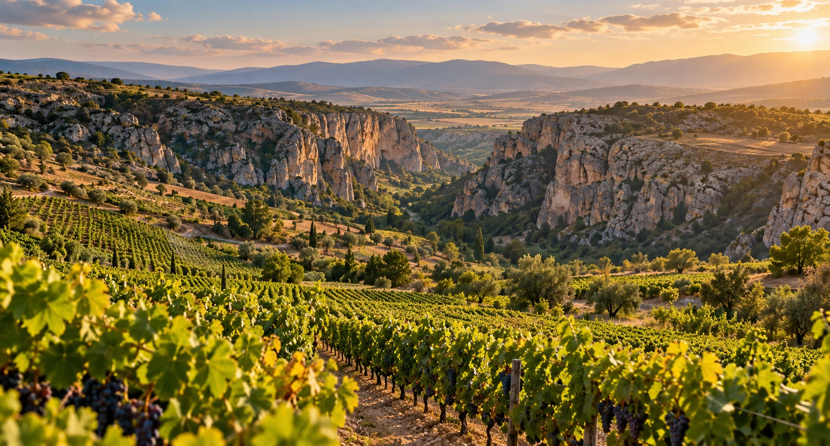
Learn about the region’s protected grape and living vineyard culture.
Explore the Vineyards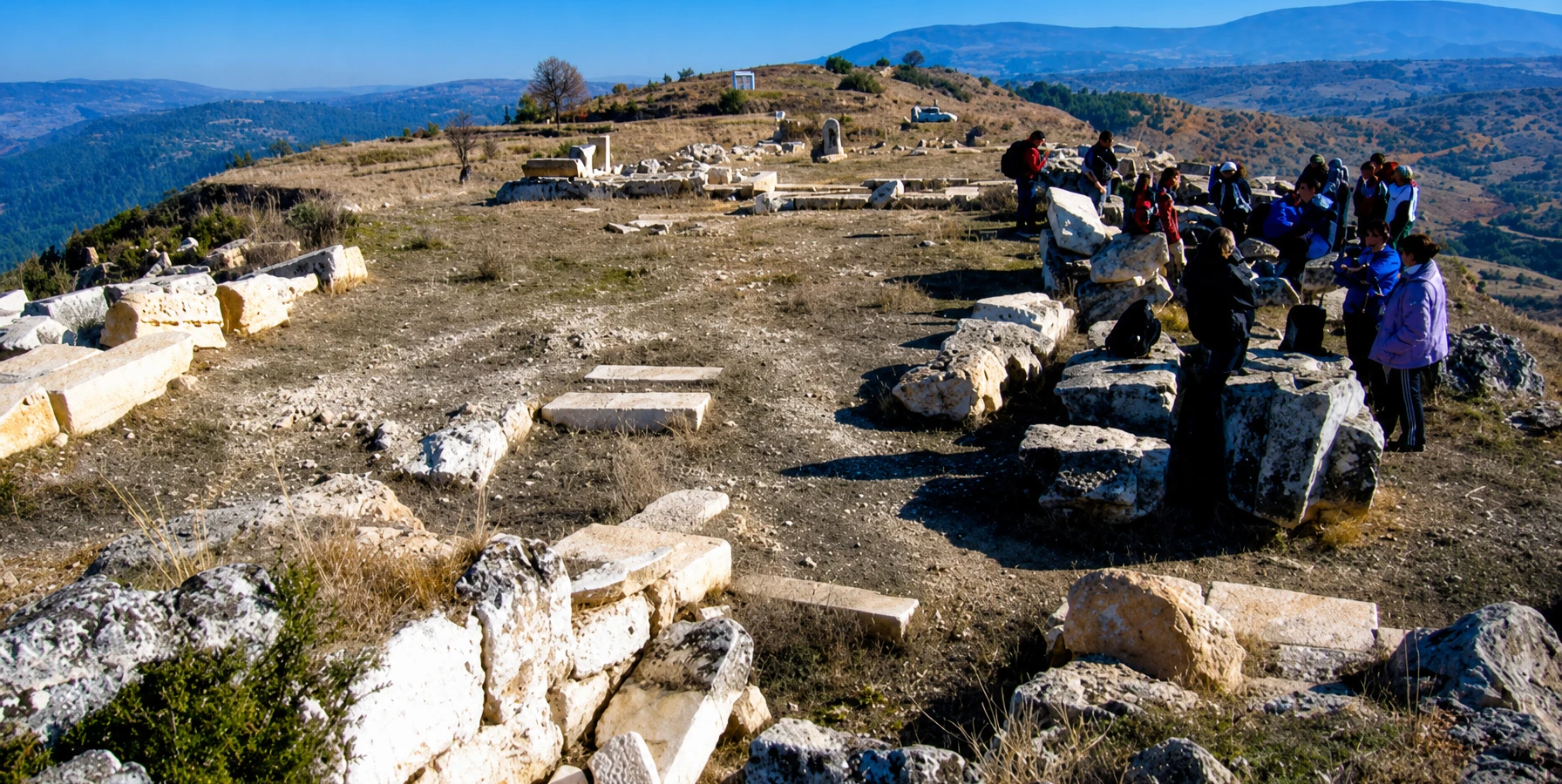
Explore the history of the ancient city and its connection to regional identity.
Discover DionysopolisContinue with another natural attraction or a classic heritage excursion.
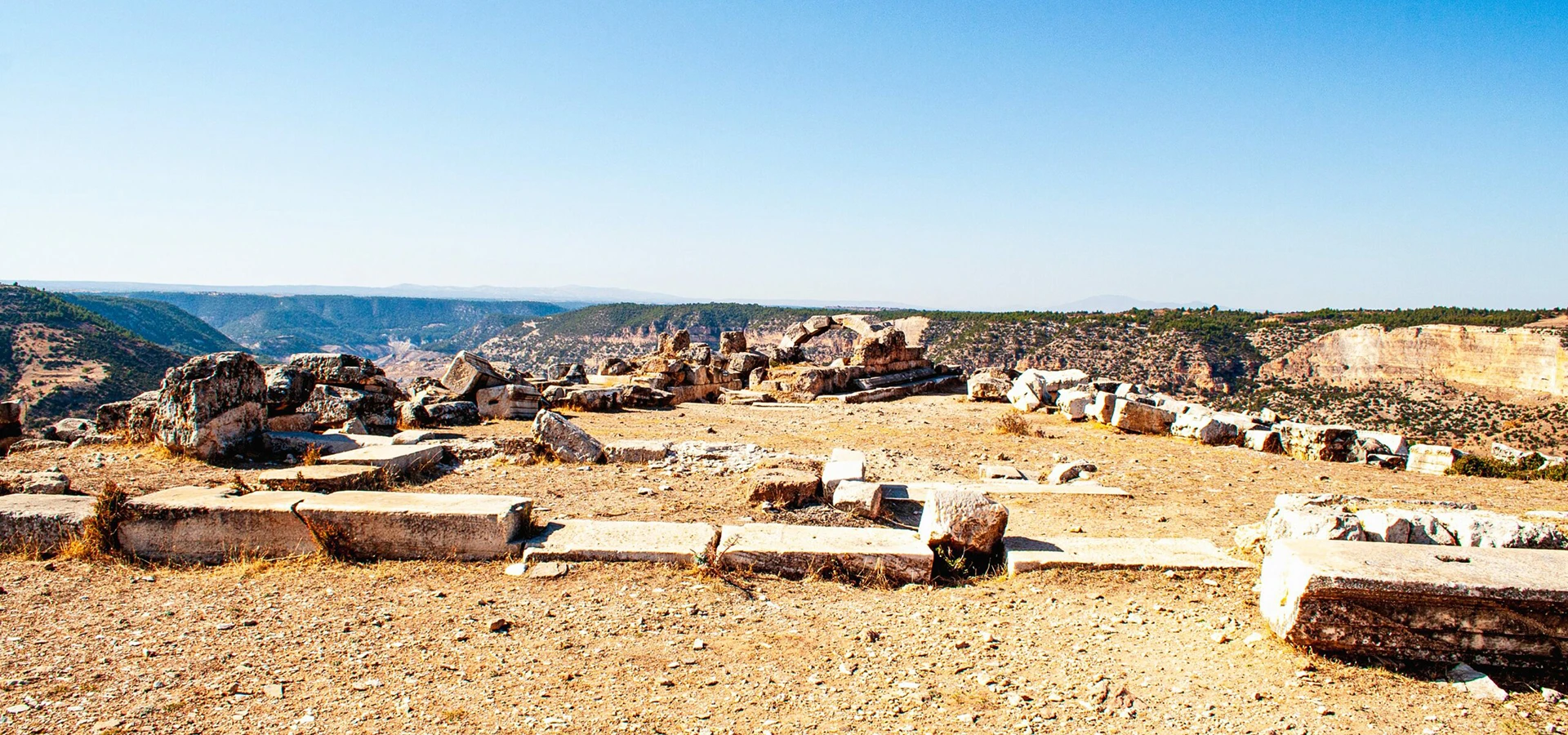
Discover the ancient religious landscape of the upper Maeander region.
Explore the Sanctuary
Compare another remarkable waterfall in a different district of Denizli.
Discover Güney Waterfall
Discover the extraordinary travertines and ancient monuments of Pamukkale.
View Private Tour