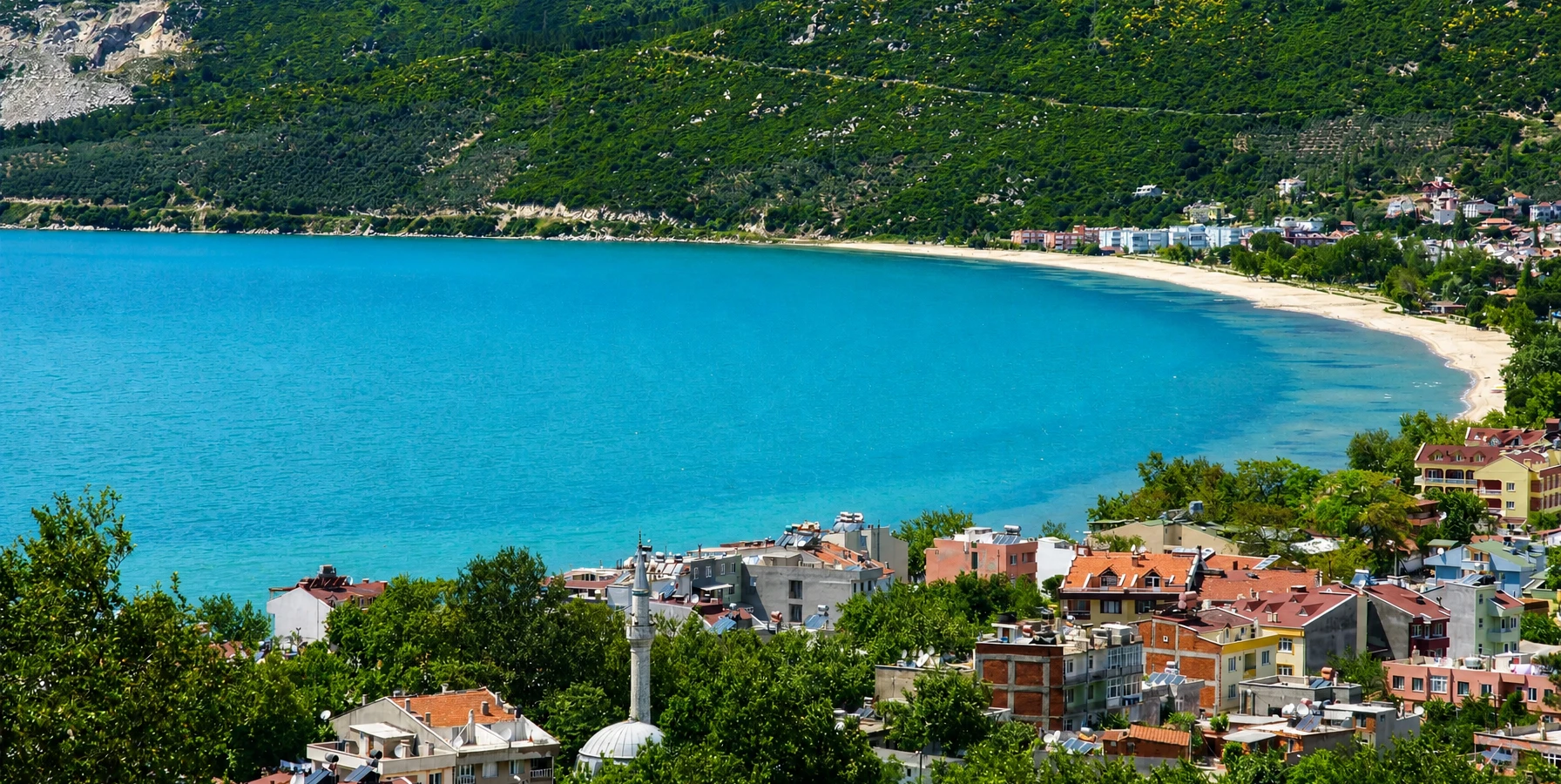
Erdek
Use the historic seaside town as your main ferry gateway and combine island travel with beaches, restaurants and the Kapıdağ coast.
View Erdek Guide





Paşalimanı is one of the most understated islands of the southern Sea of Marmara. Administratively part of Erdek in Balıkesir Province, it lies just west of the Kapıdağ Peninsula and belongs geographically to the same island world as Marmara Island, Avşa and Ekinlik.
What makes Paşalimanı different is not a single headline attraction. The island is a landscape of five villages – Paşalimanı, Harmanlı, Balıklı, Poyrazlı and Tuzla – connected by country roads, agricultural slopes, olive trees, small beaches, sheltered bays and the traces of a much richer historical past.
The island once supported important vineyards, orchards, wine production and a larger population than travellers might imagine from its quiet appearance today. Remains of mosques, a late-period monastery, a seventeenth-century windmill, old wells, a nineteenth-century winery complex and scattered ancient or Byzantine stonework survive around the villages, although much of the historic building stock was damaged or lost in the devastating 1935 Marmara earthquake.
This is therefore an island for travellers who enjoy slow exploration rather than a checklist. Come to walk village waterfronts, follow roads between bays, swim when conditions are calm, notice old stone fragments beside ordinary houses, sit over tea, photograph olive-covered hills and understand how maritime history, agriculture and migration shaped a small island community.
Explore Paşalimanı, Harmanlı, Balıklı, Poyrazlı and Tuzla, each occupying a different part of the island.
Find small village beaches, sheltered bays, simple piers and a coastline far less developed than nearby resort islands.
Look for Ottoman religious remains, a historic windmill, monastery ruins, old wells, winery buildings and reused ancient stonework.
Olives, orchards, small farms, animal husbandry and seasonal guesthouses remain part of the island's identity.
Essential information for planning a slow journey around one of the quieter islands of the Marmara Archipelago.
Sea of Marmara, Balıkesir Province, immediately west of the Kapıdağ Peninsula and administratively attached to Erdek district.
Paşalimanı belongs to the Marmara Archipelago and is the second-largest island in that island group after Marmara Island.
Paşalimanı, Harmanlı, Balıklı, Poyrazlı and Tuzla form the island's five permanent settlements.
Balıklı on the southern coast is the island's principal active ferry port for scheduled inter-island and Erdek connections.
Low hills, olive groves, agricultural plots, scrub, orchards, village bays, small beaches and open Marmara views.
Historical and academic sources use forms such as Aloni / Haloni / Halone in connection with the island's earlier history.
The island was once especially associated with vineyards and wine, alongside figs, mulberries, olives and other fruit crops.
Historic features include mosque and fountain remains, a monastery site, an old windmill, wells, winery buildings and reused ancient stonework.
Think quiet villages and rural coastline, not large organised attractions, beach clubs or nightlife.
May–June and September are especially pleasant for village walks, photography and swimming without peak summer heat.
Allow at least one full day; an overnight stay gives a much better feeling for the island after day visitors leave.
Erdek, Kapıdağ, Avşa and Marmara Island.
Paşalimanı appeals precisely because it has not developed in the same way as the better-known summer destinations around it. There is no single resort centre dominating the island and no need to rush from one famous attraction to another. Instead, the island rewards travellers who enjoy observing how settlements fit into bays, how roads cross dry hills and olive landscapes, and how the sea remains part of everyday movement.
Its five villages create natural stages for exploration. The western side contains Paşalimanı and Harmanlı within a broad natural harbour landscape; Balıklı faces south and functions as the principal ferry gateway; Poyrazlı opens toward the north; and Tuzla occupies the eastern side, where a narrow land connection gives the coastline an especially distinctive shape.
The island is also richer historically than its quiet appearance suggests. Academic surveys record Ottoman religious structures, a seventeenth-century windmill, a nineteenth-century winery complex, a monastery site and scattered Late Roman and Byzantine architectural pieces. These remains are often modest and sometimes unprotected, so the experience is closer to reading a cultural landscape than entering formal archaeological sites.
Most importantly, Paşalimanı offers a different rhythm. Come with time for a swim, a village lunch, a detour, a conversation at a waterfront tea garden and an evening when the light changes over the Marmara Sea. That slower pace is the island's strongest attraction.
Paşalimanı lies in the southern Sea of Marmara only a short distance west of the Kapıdağ Peninsula. It is the second-largest island of the Marmara Archipelago, large enough for its villages to feel separate from one another but compact enough to explore by road without long driving distances.
The coastline is deeply connected to the settlement pattern. Paşalimanı and Harmanlı occupy the western natural harbour zone, Poyrazlı faces a northern bay, Tuzla projects from the eastern side on a narrow peninsula-like formation, and Balıklı sits on the southern shore as the active port.
The interior is not dramatic mountain country. Instead, rolling hills and agricultural slopes create repeated views toward neighbouring islands, Kapıdağ and open water. Olive trees, scrub, small fields and scattered houses give the roads a distinctly rural character.
Because each side of the island faces a different direction, wind and sea conditions can vary considerably from one coast to another. A northern bay may be exposed while a western or southern shore feels calm, which is useful when choosing where to swim or stop for a picnic.
Paşalimanı and Harmanlı share the broad western side of the island, historically valued for its sheltered maritime geography.
Balıklı is the practical arrival point for many visitors because its pier serves scheduled ferry traffic.
Poyrazlı faces the more open northern Marmara and contains some of the island's most interesting surviving historical remains.
Tuzla occupies a distinctive eastern coastal setting where a narrow isthmus creates a peninsula-like landscape.
Village roads pass through agricultural hills and open countryside, creating easy opportunities for scenic driving, cycling and short walks.
The island is compact, but photographs, swimming, village meals and ferry timing mean a satisfying circuit can still fill most of a day.
The island's history stretches back into antiquity, and historical literature records several forms of its older name, including Aloni, Haloni and Halone. The wider southern Marmara islands stood on important sea routes linking the Propontis – the ancient Sea of Marmara – with the Dardanelles, the Bosphorus and the settlements of northwestern Anatolia.
Paşalimanı later passed through Roman and Byzantine periods before becoming part of the Ottoman world. The island's natural harbour made it useful to maritime traffic, and its modern Turkish name is traditionally associated with an Ottoman pasha and the use of the harbour as a place of shelter. The exact naming story appears in different forms, so it is best understood as part of local maritime tradition rather than a single perfectly documented episode.
By the late Ottoman period the island supported a much larger and economically active population. Vineyards, fruit cultivation, trade and wine production all formed part of local life. Greek Orthodox communities played an important role in the island's cultural landscape, alongside Muslim residents and the administrative structures of the Ottoman state.
The twentieth century changed this world profoundly. Population movements associated with the end of the Ottoman Empire and the population exchange transformed the villages, while the powerful 1935 Marmara earthquake destroyed or badly damaged much of the older building stock. Today's Paşalimanı is therefore a landscape of continuities and absences: living villages surrounded by fragments of an earlier island society.
Paşalimanı village lies on the western side of the island within the broad harbour landscape shared with Harmanlı. Its waterfront, small-scale settlement pattern and surrounding agricultural slopes make it one of the most atmospheric places to understand the island's historic relationship with the sea.
The village is also important for the island's Ottoman heritage. Academic documentation records a historic mosque and fountain whose original character was altered by later repairs, particularly after earthquake damage. Gravestones in the mosque area preserve evidence of the Muslim community from the Ottoman period.
Another remarkable layer is industrial and agricultural history. A nineteenth-century complex in the village included a wine factory and administrative building, with related structures nearby. The remains recall a period when Paşalimanı's vineyards and wine production were economically significant.
Do not arrive expecting a restored museum district. The interest lies in reading surviving fragments within a living village and understanding how religious, agricultural and maritime history occupied the same small landscape.
Harmanlı, historically associated with names such as Avlonia or Aloni in various sources, sits within the western harbour zone not far from Paşalimanı village. It feels especially rural, with agricultural land and low hills immediately behind the settlement.
Historical surveys record old wells and scattered architectural fragments in and around the village. A large sarcophagus lid has also been documented in the village square, one example of how ancient material survives in everyday settings rather than inside a formal archaeological park.
Harmanlı was among the settlements severely affected by the 1935 earthquake. That disaster helps explain why travellers should not expect an intact historic village despite the depth of local history.
Today, the pleasure of Harmanlı is its simplicity. Walk slowly, respect residential spaces, look toward the cultivated slopes and use the village as a place to understand the island's agricultural character rather than only its beaches.
For many travellers, Balıklı is the first introduction to Paşalimanı because its pier is the principal active ferry stop. Arriving by sea immediately shows what distinguishes the island from a large resort: a small settlement, low hills, clear water, local boats and roads that disappear quickly into open countryside.
Balıklı is worth more than a quick transfer. Spend time around the waterfront, watch ferry and village activity, and look back toward the hills before continuing inland. The bay is also a practical place to understand wind and sea conditions before choosing a swimming stop elsewhere.
A late-period monastery site has been documented west of the village near a small bay. The surviving remains include a church and associated structures built with stone and brick, including reused Byzantine material. This is not a polished visitor attraction, so access and preservation conditions should be treated carefully.
Scattered Late Roman and Byzantine architectural pieces have also been recorded around Balıklı. Never move, climb on or remove stone fragments; their value depends on remaining part of the island's archaeological context.
Poyrazlı, historically recorded as Vori or Voria, occupies a northern bay and faces a more exposed part of the Sea of Marmara. The setting feels different from the protected western side, especially when northerly winds are active.
One of Paşalimanı's most interesting documented monuments stands near the northwestern coast of the village: a ruined windmill carrying a 1690 inscription. Although abandoned, surviving elements such as its masonry, internal features and niches make it an unusually tangible reminder of the island's pre-modern economy.
Poyrazlı also contains the remains of an old mosque. Academic descriptions note a ruined prayer structure and surviving minaret, with historical gravestones in the surrounding area. The exact date of the mosque itself is uncertain, so it is better to appreciate the site without forcing a precise chronology.
Combine the historical remains with a waterfront stop and a look across the northern coast. Poyrazlı works especially well for travellers interested in photography, vernacular landscapes and the traces of everyday history rather than monumental ruins.
Tuzla, historically recorded as Huhla or related forms, occupies the eastern side of Paşalimanı. Historical landscape studies describe this part of the island as a small peninsula connected by a narrow isthmus, giving Tuzla a different geographical character from the other villages.
The surrounding coast is attractive for slow exploration because water appears on different sides of the road landscape and the settlement feels closely tied to the shoreline. Wind exposure can change quickly, so choose swimming places according to actual conditions rather than appearance alone.
Late Roman and Byzantine architectural fragments have been documented in the Tuzla area, including pieces that were reused or moved around the village environment. They are valuable evidence of the island's long settlement history even when they do not form a conventional archaeological site.
Tuzla is an excellent final stop on an island circuit. Stay for the light, walk the waterfront slowly and allow time to return to Balıklı before your ferry rather than calculating the journey to the minute.
Best for Ottoman-period traces, the historic winery story, waterfront atmosphere and understanding the island's name.
Best for quiet rural scenery, agricultural landscapes and scattered archaeological traces within a living village.
Best for ferry access, a first or last waterfront stop and the nearby monastery landscape west of the village.
Best for northern sea views, the historic windmill, mosque remains and a stronger sense of the open Marmara coast.
Best for distinctive coastal geography, the eastern side of the island and a quiet finish to a full circuit.
Best for travellers with a vehicle, a full day and enough flexibility to stop when a bay, village or roadside view catches their attention.
Paşalimanı's cultural heritage is unusually dispersed. Rather than one excavated ancient city or restored old quarter, the island contains small monuments and fragments across all five villages: mosques, gravestones, wells, reused columns, capitals, sarcophagus pieces, religious ruins, industrial buildings and vernacular houses.
Academic fieldwork has identified Late Roman and Byzantine architectural elements around Harmanlı, Balıklı, Poyrazlı and Tuzla. Some were reused in later buildings or moved within village spaces, a common pattern in places where settlement continued across many centuries.
The Ottoman layer is visible particularly around Paşalimanı village and Poyrazlı. The island also preserves traces of the Greek Orthodox communities that lived here before the twentieth-century population transformations, including the Balıklı monastery area and surviving funerary evidence.
Because many remains are fragile, altered or located close to houses and working land, Paşalimanı should be explored with restraint. Photograph, observe and learn, but do not treat unguarded heritage as abandoned property.
Historical research identifies a mosque and fountain in Paşalimanı village with roots in the Ottoman period. Both structures were substantially altered by repairs over time, particularly after the 1935 earthquake, so their present appearance does not fully represent the original buildings.
Earlier inscriptions recorded by researchers connected the fountain and mosque with important Ottoman names, reinforcing the idea that this natural harbour held significance for maritime movement and official travel.
The mosque area also preserves old gravestones, some dating back to the Ottoman centuries. These modest monuments are among the strongest pieces of evidence for the island's long-established Muslim community.
Visit respectfully: this is a living religious and residential environment, not an archaeological enclosure. Dress appropriately if entering a functioning mosque area and avoid stepping among gravestones for photographs.
The old windmill near Poyrazlı is one of Paşalimanı's most distinctive surviving historic structures. Academic documentation records an inscription dated 1690, making the building particularly valuable for understanding the island's early modern agricultural economy.
Its location near the exposed northern coast makes practical sense: wind was a resource, and island communities depended on technologies adapted to the landscape. The mill therefore belongs not only to architectural history but to the story of food production, farming and self-sufficient village life.
The structure is abandoned and should be treated as fragile. Do not climb walls, enter unstable sections or remove pieces of masonry. A careful exterior visit is enough to appreciate the relationship between building, wind and coast.
For photographers, the best compositions often include both the mill and the surrounding northern landscape rather than isolating the ruin from its setting.
West of Balıklı, near a small bay, researchers have documented the remains of a late-period monastery complex consisting of a church and associated structures. Stone and brick construction incorporates reused Byzantine material, reflecting the layered building traditions of the island.
The site helps recover a side of Paşalimanı that is easy to miss when travelling only between village centres. Before the great population changes of the twentieth century, the island formed part of a wider Greek Orthodox cultural world across the southern Marmara islands.
Access conditions may not be formalised, and vegetation, private land or unstable ruins can affect what is safely visible. Do not rely on old online directions without checking locally.
The best approach is to regard the monastery as part of a broader cultural landscape around Balıklı rather than a guaranteed, ticketed attraction with fixed opening hours.
Paşalimanı was once well known for vineyards and wine, an important part of the island's late Ottoman economy. Historical sources also record figs, black mulberries, olives, plums, apples and other crops, showing that the island supported a far more varied agricultural landscape than a visitor might assume today.
In Paşalimanı village, a nineteenth-century industrial complex included a wine factory and administrative building. Academic documentation dates the stone-and-brick structures to the 1870s and also notes a related hospital building in the same historical setting.
The surviving structures are valuable because industrial heritage is often overlooked beside churches, mosques and ancient ruins. Here, the winery tells a story about production, trade, labour and the agricultural wealth that once supported a much larger island population.
Even if you cannot enter the historical buildings, keep the vineyard story in mind while travelling across the island's open slopes. The landscape becomes more meaningful when viewed as former productive ground rather than simply empty countryside.
On 4 January 1935, a major earthquake struck the Marmara islands region and caused severe destruction across Paşalimanı. Historical research records particularly heavy damage in settlements including Harmanlı and Poyrazlı, while Paşalimanı and Balıklı were also badly affected.
The disaster explains one of the island's apparent contradictions. Paşalimanı has a long and culturally rich history, yet comparatively little old architecture survives intact. Buildings were destroyed, repaired, rebuilt or replaced, and some villages changed physically as reconstruction proceeded.
When you see an isolated gravestone, reused column, surviving minaret, old well or fragment of industrial masonry, it therefore represents more than a picturesque ruin. Such remains are survivors of repeated historical change, including one of the most destructive events in the modern history of the southern Marmara islands.
The earthquake story also encourages a respectful approach to abandoned masonry. Old structures may have been weakened by age, rebuilding and later seismic activity, so climbing ruins is never appropriate.
Paşalimanı is surrounded by attractive water, but it should not be imagined as a conventional beach-resort island. Swimming is often centred on village shores, small bays, simple stretches of sand or pebble and informal coastal access rather than long organised beaches lined with facilities.
That simplicity is part of the appeal. A quiet swim can feel wonderfully removed from the busier summer atmosphere of nearby Avşa, yet visitors need to be more self-sufficient. Shade, showers, toilets, lifeguards and cafés cannot be assumed at every cove.
Wind direction matters. The northern coast around Poyrazlı may experience different conditions from the western harbour or southern shore, so ask locally where the water is calmest on the day you visit.
Carry water, sun protection and proper footwear for rocky entries. Leave no rubbish behind and avoid parking directly on beaches, vegetation or private agricultural land.
Agriculture remains fundamental to how Paşalimanı looks and feels. Olive trees, small fields, orchards, grazing areas and village gardens create a patchwork landscape between the settlements.
Historical accounts describe a particularly diverse agricultural economy before the twentieth-century population changes, with grapes, figs, black mulberries, olives, plums and apples among the recorded crops. Vineyards and wine were once especially important.
Modern regional planning sources continue to identify olive cultivation, agriculture, animal husbandry and small-scale tourism among the livelihoods associated with the island. That makes Paşalimanı a living rural landscape rather than scenery created for visitors.
Respect fields, orchard walls and gates. A dirt track on a map may be a working agricultural access road rather than a public sightseeing route, and fruit hanging beside the road is still someone's crop.
Paşalimanı is naturally suited to walkers who enjoy quiet country roads rather than formal mountain trails. Village-to-village distances can appear manageable, and the open landscape gives frequent views toward the sea.
The challenge is exposure. Summer roads can be hot, shade may be limited and water sources should never be assumed. For this reason, spring and early autumn are far more comfortable for longer walks.
Start with a simple route from one village rather than attempting to cross the entire island on foot without current local information. Offline mapping is useful, but local advice remains important where roads divide into agricultural tracks.
The most rewarding walking experiences combine village streets, olive landscapes and a coastal viewpoint rather than chasing a single summit or named trail.
A vehicle gives the greatest freedom for visiting all five villages in one day, especially when ferry times define the beginning and end of the trip. Roads are relatively short, but expect local traffic, agricultural vehicles, narrow sections and occasional rough surfaces.
Cyclists will appreciate the light traffic and repeated sea views, although the island is not completely flat. Rolling climbs, wind exposure and summer heat can make short distances more demanding than they look on a map.
Drive slowly through villages and around blind bends. Residents, children, animals and tractors all share the same roads, and the journey should never be treated as a speed circuit.
If photography is your priority, choose fewer stops and spend longer at them. The island is compact enough that there is little benefit in rushing.
Paşalimanı is not a destination for a long list of famous restaurants. Food is better understood through the island's scale: seasonal village businesses, simple home-style dishes, breakfast products, olives, vegetables and whatever fish is genuinely available.
The island's historical vineyard and orchard culture adds another layer. Grapes, figs, mulberries, olives and fruit once played an important role in local production, while wine was a recognised part of the island economy.
Today, opening hours and restaurant choices can vary sharply by season. In July and August there may be more options, while spring, autumn and winter require greater flexibility.
Carry some water and snacks even if you plan to eat locally. When a village café or family-run place is open, choose it over bringing everything from the mainland; small-scale spending is one of the simplest ways tourism can benefit the island.
Keep your camera ready as Balıklı appears from the sea; the approach immediately shows the scale of the village and surrounding hills.
Paşalimanı and Harmanlı can be especially attractive when low light reveals the curve of the broad western bay.
Frame the old windmill and historical remains with the open northern landscape rather than photographing masonry alone.
Olive trees, dry-stone edges, fields and distant water often make stronger island photographs than a conventional beach shot.
The eastern geography creates interesting compositions where narrow land, village settlement and sea meet in the same frame.
Ask permission before making residents the identifiable main subject of photographs, especially around homes and working spaces.
The island becomes greener and quieter, but ferry frequency, accommodation and eating options may still be limited.
Excellent for walking, cycling, village exploration and photography before peak summer heat and holiday traffic.
Best for warm-water swimming and the widest seasonal services, but ferry demand and island traffic are higher.
One of the strongest months, often combining warm sea conditions with a noticeably calmer island atmosphere.
Rewarding for rural scenery and quiet roads, although weather becomes less predictable and seasonal businesses reduce hours.
A genuinely local island experience, but wind, ferry changes and very limited visitor services require flexibility.
Suitable only if ferry timings allow a short visit around Balıklı plus one neighbouring village. Do not attempt all five.
Enough for a relaxed island circuit with the five villages, one swim and several longer stops if you have a vehicle.
The best first experience: explore by day, enjoy a quiet evening and see the island before the next day's visitors arrive.
Ideal for slow travellers who want walking, swimming, photography and repeated time in favourite villages without ferry pressure.
Balıklı → Paşalimanı → Harmanlı → Poyrazlı → Tuzla → Balıklı. Best for first-time visitors with a vehicle and a full day.
Focus on Paşalimanı village, Poyrazlı and the Balıklı monastery landscape to connect Ottoman, Orthodox and agricultural heritage.
Ask locally which coast is calmest, choose one or two village bays and allow most of the day for the sea rather than driving.
Arrive by ferry, explore only two or three villages, stay overnight and complete the island the next morning.
Paşalimanı's character depends on its scale. Small villages, limited roads, working fields and quiet bays can absorb only so much traffic before everyday life is affected.
Take rubbish away from informal beaches and picnic stops. Never leave cigarette ends, glass or disposable barbecue materials in dry vegetation, especially during the high-risk summer fire season.
Park carefully in villages and never block a house entrance, agricultural gate, ferry access road or working harbour area. What looks like empty roadside space may be essential to a resident.
Historic ruins and loose stone fragments are particularly vulnerable because many are not fenced or guarded. Leave every object exactly where it is and avoid climbing unstable walls.
Finally, remember that Paşalimanı is not an open-air museum. People live here year-round. Keep noise low, ask before photographing residents and support local seasonal businesses whenever practical.
Two or three villages plus a long swimming stop usually work better than a complete island circuit with younger children.
Small village beaches may have no lifeguard, so assess wind, depth and entry conditions carefully.
Carry water, snacks, sun protection and anything essential rather than depending on continuous shops around the island.
The open countryside can have limited shade, particularly on walking routes between villages.
Families should return to the departure area early enough to avoid stress if roads or stops take longer than expected.
For children, the sea journey, small harbour and watching vehicles load can be as memorable as the island itself.
Accessibility varies significantly between the ferry pier, village waterfronts and inland heritage sites. Balıklı's port area and some flat coastal streets can be manageable for travellers with limited mobility, but surfaces are not uniformly designed for step-free movement.
Village roads may include slopes, uneven paving, gravel edges and informal waterfront access. Smaller beaches can require crossing pebbles or rough ground.
The windmill, monastery remains, old wells and scattered heritage fragments should not be assumed wheelchair accessible. Many are informal landscape features rather than adapted visitor sites.
A vehicle-based tour can still provide a rewarding island experience, with selected waterfront stops and scenic viewpoints. If step-free access is essential, confirm current ferry boarding arrangements and accommodation access before travelling.
Scheduled ferry services connect Erdek with Balıklı on Paşalimanı on selected sailings. Timetables vary by season and day.
Some circular ferry services connect Balıklı with Avşa, Marmara Island and Ekinlik depending on the current timetable.
Vehicle ferries can make a full island circuit much easier, but vehicle capacity and operating patterns should be checked before travel.
Possible, but plan realistically: the ferry pier does not automatically place you within easy walking distance of every village.
Sea conditions can affect Marmara ferry operations, especially outside the summer season. Reconfirm on the day of travel.
Departure days and times change. Always check the current operator schedule rather than relying on an older blog or screenshot.
A private vehicle is the easiest way to see all five villages within a day. It also gives flexibility to change swimming locations according to wind and to return to Balıklı comfortably before the ferry.
Cycling is attractive because distances are modest and traffic is generally lighter than on the mainland, but rolling terrain, heat and wind should be taken seriously.
Foot travellers should plan around one part of the island rather than assuming they can easily connect every village on the same day. Local transport options can be limited and should not be treated as a guaranteed turn-up-and-go service.
Whatever your transport method, download an offline map before arrival and keep enough battery for navigation and ferry information.
Small pensions and seasonal accommodation offer the most natural way to experience the island. Availability can be limited.
Paşalimanı or Harmanlı suit travellers who value quiet evenings and a rural harbour atmosphere.
Useful if ferry convenience matters most and you want to minimise transfer time on departure day.
Poyrazlı or Tuzla can suit travellers who prefer a more isolated village setting and are comfortable with fewer services.
Erdek offers far more accommodation and restaurants if you prefer to visit Paşalimanı only as a day trip.
The island's accommodation stock is small, so a few full properties can make availability disappear quickly on busy dates.
The natural mainland gateway for ferries, accommodation, restaurants and a broader introduction to the southern Marmara coast.
Continue the same rural theme across the water with forest roads, fishing settlements, beaches and agricultural landscapes.
Add monumental ancient history at the southern entrance to Kapıdağ before or after your island journey.
Compare quiet Paşalimanı with a much more developed summer island known for beaches, accommodation and nightlife.
Explore ancient Prokonnesos, marble heritage, mountain villages and a larger island landscape north of Paşalimanı.
Add a museum context for the ancient cultures of the wider southern Marmara region after exploring the islands.
The island is best for people who can let a village, a bay and a long lunch occupy most of a day.
Dispersed ruins and architectural fragments reward visitors interested in reading cultural landscapes rather than only major monuments.
Small harbours, agricultural hills, weathered masonry and open Marmara horizons offer understated but strong subjects.
Quiet roads and manageable distances suit active travellers who prepare for heat, hills, wind and limited services.
Multiple coasts provide choices when conditions are calm, especially for those who do not need organised beach infrastructure.
If you already know Avşa, Erdek or Marmara Island, Paşalimanı reveals a quieter and more rural side of the same sea.
Check the current timetable when planning and again shortly before travel because seasonal and weather-related changes occur.
Vehicle travellers should allow extra time at the port rather than treating ferry boarding like an ordinary road departure.
Carry enough for the day, particularly when walking or travelling outside peak summer.
Small seasonal businesses may not always offer the same payment options as larger mainland establishments.
Useful for village roads and agricultural junctions even if mobile coverage is available for most of your trip.
If bringing a car, start with enough fuel rather than planning your day around island refuelling.
Paşalimanı's charm comes partly from its scale. Shops, cafés and accommodation are not distributed evenly across every village.
Open hills, beaches and village roads can be very exposed in summer.
Return toward Balıklı with a generous margin so a photograph, road delay or wrong turn cannot cost you the ferry.
Ruins, tracks and attractive viewpoints may sit beside private fields or homes. Local permission matters.
Never take pottery, stone fragments or architectural pieces, even when they appear loose or abandoned.
Come for landscape, history and island rhythm rather than entertainment infrastructure, shopping or nightlife.
Paşalimanı matters because it preserves a form of Marmara island life that can easily disappear from view beside the region's better-known resort destinations. Its five villages remain tied to agriculture, local roads, ferry schedules and the practical realities of living on an island.
The surviving historical fragments deepen that story. A windmill dated to the seventeenth century, Ottoman religious remains, a monastery landscape, old wells, winery buildings and reused Roman or Byzantine stonework reveal that today's quiet villages once belonged to a more populous and economically connected maritime world.
The 1935 earthquake and twentieth-century population changes explain why so much of that world survives only in pieces. Paşalimanı is therefore valuable not because it has been perfectly preserved, but because the remaining traces allow travellers to understand loss, adaptation and continuity.
Careful tourism can support that continuity. Staying locally, eating in village businesses, respecting agricultural land and treating vulnerable ruins responsibly all help preserve the qualities that make the island worth crossing the sea to experience.
Paşalimanı lies in the southern Sea of Marmara, just west of the Kapıdağ Peninsula in Balıkesir Province.
The island is administratively part of Erdek district.
Yes. It belongs to the same southern Marmara island group as Marmara Island, Avşa and Ekinlik.
There are five villages: Paşalimanı, Harmanlı, Balıklı, Poyrazlı and Tuzla.
Balıklı on the southern coast is the principal active ferry port used by scheduled services.
Yes. Scheduled ferry services operate between Erdek and Balıklı on selected sailings. Always verify the current timetable.
Vehicle ferry services operate on relevant routes, but capacity and sailing patterns should be confirmed before travel.
Yes, but it is much easier to focus on one or two areas. Seeing all five villages as a foot passenger requires careful transport planning.
Yes, if ferry times provide enough hours on the island. A full day is far more worthwhile than a short turnaround.
If you enjoy quiet islands, yes. An overnight stay removes ferry pressure and lets you experience the villages after daytime movement slows down.
Balıklı is the natural starting point if you arrive by ferry. From there, choose your route according to time, transport and wind conditions.
Paşalimanı and Poyrazlı contain especially interesting documented remains, while the Balıklı area includes a monastery site.
Yes. A historic windmill near Poyrazlı carries an inscription dated 1690.
Remains of a late-period monastery complex have been documented west of Balıklı near a small bay.
Yes. The island was historically known for vineyards and wine production, and a nineteenth-century winery complex survives in Paşalimanı village.
Historical sources use forms such as Aloni, Haloni and Halone. Village names also appear in older Greek forms in historical records.
The Marmara earthquake caused severe destruction across the island, especially in villages such as Harmanlı and Poyrazlı, and damaged much of the older building stock.
There is no single major excavated ancient city, but Late Roman and Byzantine architectural fragments, sarcophagus pieces and reused stonework have been documented around several villages.
Yes, but expect small village shores and quiet coves rather than large organised resort beaches.
It depends on wind and wave conditions. Ask locally because the calmest coast can change from day to day.
It becomes busier during summer holidays, but it generally remains much quieter than the major resort centres of the region.
Yes. The roads and distances suit cycling, but rolling hills, wind and summer heat require preparation.
Yes, especially along village roads and rural tracks, but formal waymarked hiking infrastructure is limited.
May, June and September are particularly good for combining walking, village exploration and pleasant sea conditions.
Yes, especially for a simple day combining a ferry ride, two or three villages and a calm swimming stop.
No. Accommodation is small-scale and limited compared with Erdek, Avşa or larger Marmara Island settlements.
Do not assume so. Seasonal businesses may reduce hours or close outside summer, so carry basic supplies.
Yes when the current inter-island ferry timetable works. See our Avşa Island guide and verify sailings first.
Yes. Ferry routes can connect the islands on selected sailings. See our Marmara Island guide.
Bring water, sun protection, swimwear, a light layer, comfortable shoes, offline maps, a power bank and some cash.
See at least one western village, Poyrazlı's historic landscape, the Balıklı waterfront and one quiet bay. Paşalimanı is about variety and atmosphere rather than one must-see monument.
Build a southern Marmara journey that combines quiet island villages with ancient cities, forest roads, marble heritage and contrasting island cultures.
Continue from Paşalimanı to the mainland coast, Kapıdağ and the neighbouring islands.
Use the historic seaside town as your main ferry gateway and combine island travel with beaches, restaurants and the Kapıdağ coast.
View Erdek Guide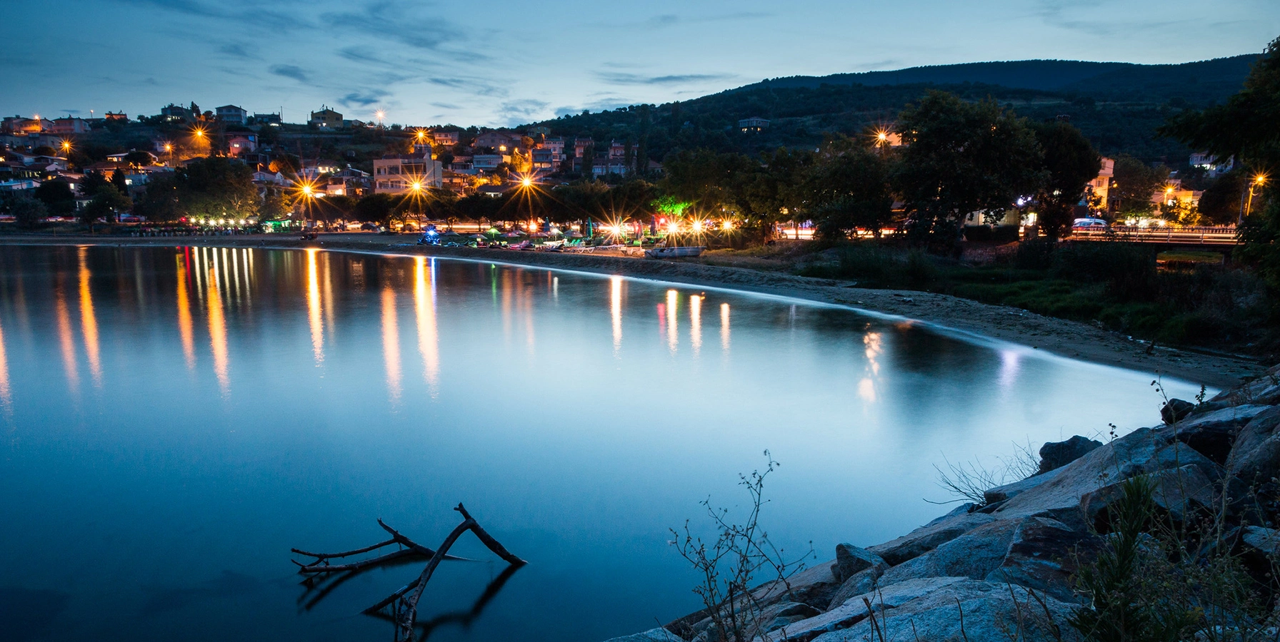
Continue the quiet rural theme across the water with fishing villages, olive landscapes, forest roads and hidden coves.
View Kapıdağ Nature Guide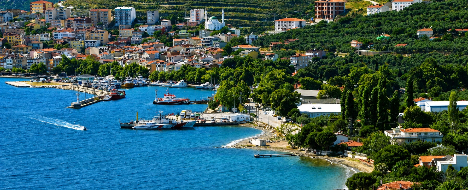
Explore the archipelago's largest island, famous for ancient marble, mountain settlements, fishing villages and long cultural history.
View Marmara Island Guide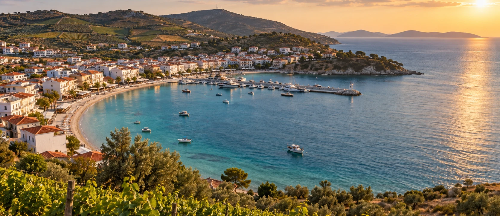
Compare Paşalimanı's rural calm with a more developed summer island known for beaches, accommodation, vineyards and nightlife.
View Avşa Island Guide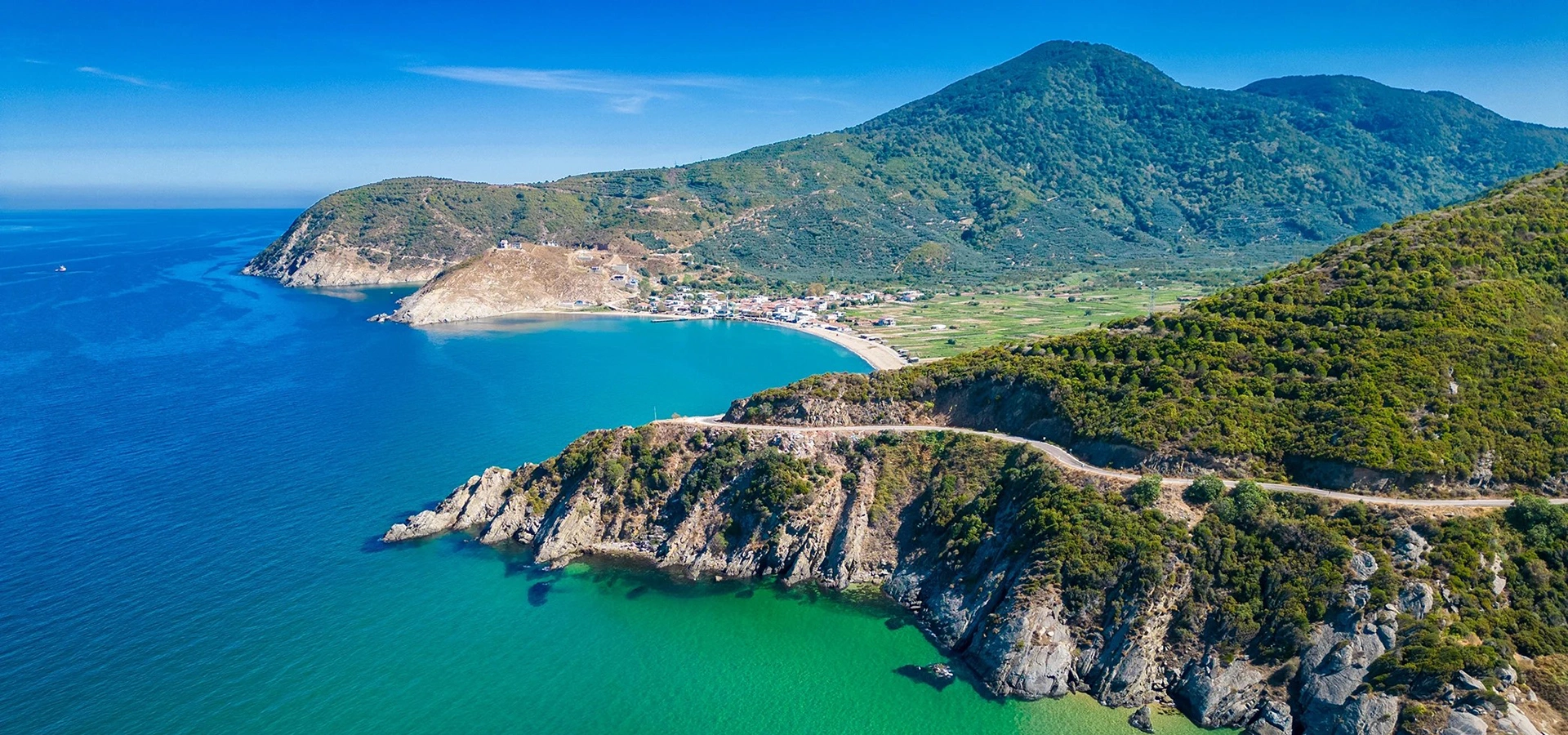
Add monumental ancient history at Paşalimanı's nearest mainland peninsula and understand the maritime geography of the region.
View Kyzikos & Kapıdağ Guide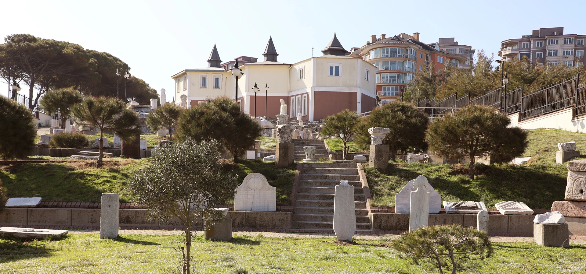
Continue the regional history with archaeological material from Kyzikos and other sites around southern Marmara.
View Bandırma Museum Guide