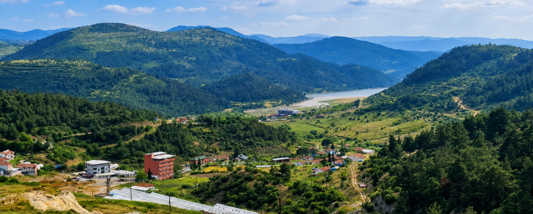
Sındırgı
Discover Yağcıbedir carpets, town heritage, thermal traditions, forests, reservoirs and the wider district around Hisaralan.
View Sındırgı Guide





Hisaralan is the most dramatic expression of Sındırgı's geothermal identity. Set in the forested interior of Balıkesir Province, the area combines naturally emerging hot springs, mineral terraces, travertine cones, steaming channels and thermal bathing facilities within a landscape that feels more geological than resort-like.
What makes Hisaralan especially unusual is the way mineral-rich water has built structures around spring outlets over long periods. Researchers have documented travertine spring towers, mounds, slope deposits, waterfall-like formations and fissure ridges. Some of the spring structures remain connected with active geothermal flow, allowing visitors to see geological processes that are usually discussed only in textbooks.
The water is also exceptionally hot. Official regional tourism information records Hisaralan spring temperatures within a broad range of roughly 46–98°C, while modern scientific studies have measured individual springs in the mid-50s to upper-90s Celsius. These are source temperatures, not bathing temperatures, and natural outlets must be treated with serious caution.
Hisaralan is part of the wider İda Madra Geopark, a nationally recognised geopark and a current UNESCO Global Geopark applicant. For travellers, however, the appeal is immediate: steam rising from pale mineral formations, warm water moving across rock, quiet mountain scenery and one of the most distinctive geothermal environments in western Türkiye.
See unusual mineral-built spring structures formed around geothermal vents, including active and inactive examples documented by geologists.
Observe geothermal water emerging naturally at temperatures that can approach boiling point at certain sources.
Use managed thermal facilities for a safe bathing experience rather than entering uncontrolled natural outlets.
Explore a geosite valued for science, education and conservation within one of western Türkiye's major geopark initiatives.
Essential information for visiting Sındırgı's geothermal field, travertine formations and thermal facilities.
Hisaralan, Sındırgı District, Balıkesir Province, in the forested interior of western Türkiye.
Approximately 20–25 km from Sındırgı town centre, depending on the route and exact point measured.
Official and scientific sources record springs from roughly the mid-40s to upper-90s °C, with some sources approaching 98°C.
Travertine spring towers and cones formed by long-term mineral deposition around geothermal outlets.
An active geothermal field shaped by faults, hot groundwater, carbonate deposition and volcanic bedrock.
Hisaralan is described in regional and scientific sources as having sodium-bicarbonate-rich thermal waters.
Hisaralan is a major geosite within the İda Madra Geopark.
İda Madra is a national geopark in Türkiye and is in UNESCO's 2026 Global Geopark application process.
Cool mornings are excellent for seeing steam, mineral textures and colour contrasts more clearly.
Expect uneven, wet and potentially slippery geothermal terrain around natural formations.
Never touch or enter uncontrolled source water. Temperatures can cause severe burns.
Allow 2–4 hours for the geosite and a managed thermal experience; longer if staying overnight.
Many thermal destinations are experienced mainly through pools and spa facilities. Hisaralan is different because the geothermal system itself is visible in the landscape. You can see where hot water reaches the surface, where minerals accumulate and how repeated flow slowly builds new forms.
The spring towers are the defining feature. Rather than spreading only as flat terraces, mineral deposits have grown upward around vents to create cone- and chimney-like shapes. Scientific studies describe Hisaralan as an important example of these relatively rare travertine morphologies.
The setting adds another layer. Forested hills, rural roads and the quiet interior landscape of Sındırgı surround the geothermal zone. Steam and pale carbonate deposits appear against green or dry-season vegetation, creating a strong sense of contrast.
Hisaralan is therefore rewarding even for travellers who are not interested in spa treatments. It works as a geology stop, photography location, educational visit and nature excursion as much as a thermal destination.
Hisaralan lies northeast of Sındırgı in southeastern Balıkesir Province. Depending on the route and whether the measurement is taken to the village or the geothermal field itself, sources place the thermal area at roughly 20–25 km from Sındırgı town centre.
The journey is part of the experience. Leaving Sındırgı, the road moves through a rural landscape of forested hills, agricultural land, villages and valleys before reaching the geothermal zone.
The springs are not an isolated urban spa complex. They belong to a wider landscape in which thermal accommodation, natural spring outlets, travertine formations and geothermal infrastructure sit relatively close together.
Because the area is dispersed, a private car, taxi or arranged vehicle is much more practical than relying on spontaneous local transport if you want to explore beyond one facility.
Western Anatolia is tectonically active, and the Sındırgı region contains faults and fractured rock that allow groundwater to circulate deeply. Water heated below the surface can rise again through permeable zones and reach the open air as hot springs.
At Hisaralan, this water carries dissolved minerals, especially carbonate-rich material. Once the water reaches the surface, changing pressure, temperature and carbon-dioxide conditions encourage minerals to precipitate out of solution.
Over time those deposits build visible travertine. The result is not one single formation but a family of shapes: terraces, crusts, mounds, slopes, waterfall-like deposits, fissure ridges and spring towers.
That variety is one reason Hisaralan is valuable scientifically. The field demonstrates how hydrothermal water can construct landforms while the process is still active.
Hisaralan's most distinctive formations are the travertine spring towers. These rise above the surrounding ground because mineral deposition has repeatedly built around spring outlets rather than spreading only across a flat surface.
A detailed geological study identified dozens of tower-like structures in the field, with some reaching several metres in height. The exact number should not be treated as a permanent visitor count because natural activity, erosion, mapping methods and site management change over time.
The towers can have circular, oval or irregular vents at the top. Some are inactive and read visually as pale mineral monuments; others remain connected with active flow. Where water and microorganisms interact, white mineral surfaces may shift into green, yellow or brown biofilm colours.
Do not climb the towers or place hands near vents. These formations are both fragile geological heritage and potential burn hazards where hot water is still moving.
Local tourism promotion often describes Hisaralan's active mineral structures as “living stalactites”. The phrase is memorable, but it should not be interpreted literally as biological life or as ordinary cave stalactites hanging from a ceiling.
Geologically, the key idea is that some formations remain actively connected with mineral-rich thermal water. As water emerges and loses carbon dioxide, calcium-carbonate minerals can continue to accumulate around the outlet.
Microbial communities may also grow on wet surfaces and influence colour and fine texture, which adds to the impression that the formations are changing before your eyes.
For visitors, “living” is therefore best understood as actively forming. The landform is not finished; geothermal water is still participating in its development.
Temperature varies across the geothermal field. Balıkesir's official tourism information lists a broad range of approximately 46–98°C, while geological field studies have recorded springs from the mid-50s into the upper-90s Celsius.
These figures refer to source water. Water used in a hotel pool or managed thermal bath should be cooled and controlled to safe bathing temperatures before guests enter.
Never judge a natural outlet by appearance. Clear water can still be dangerously hot, and steam may not always be obvious in warm weather. Wet mineral surfaces can also carry heated runoff beyond the visible vent.
Treat Hisaralan as you would any active geothermal site: stay on marked routes, keep children close and do not test water temperature with your hand or foot.
Regional tourism information classifies the thermal water as fluoride-containing sodium-bicarbonate thermal water. Scientific studies likewise describe sodium-bicarbonate-rich spring chemistry and show that the water is often supersaturated with calcite and aragonite.
That chemistry matters visually because calcium-carbonate minerals are the raw material from which much of the travertine is built. As hot water reaches the surface, mineral precipitation gradually coats channels, rims, slopes and vents.
Mineral content can vary between individual springs and boreholes, and water composition should not be assumed identical everywhere in the field.
Travellers should also separate geological chemistry from medical claims. Hisaralan has a long wellness reputation, but treatment decisions for any health condition should be discussed with a qualified medical professional rather than based on tourism descriptions alone.
Hisaralan includes thermal accommodation and bathing facilities that use the area's geothermal water under managed conditions. This is the appropriate setting for soaking, because facilities can cool, circulate and control water before it reaches guest pools.
If thermal bathing is important to your visit, check current day-use availability, pool temperatures, family sections, private bath options and opening hours directly with the property before travelling.
Long exposure to hot pools can cause dehydration, dizziness and blood-pressure changes. Drink water, take breaks and follow facility guidance. Anyone who is pregnant or has cardiovascular, blood-pressure or other medical concerns should seek appropriate medical advice before prolonged thermal bathing.
A good first visit combines the outdoor geosite with a controlled thermal experience so you understand both sides of Hisaralan: the natural geothermal system and the human bathing tradition built around it.
Hisaralan and Pamukkale are both shaped by mineral-rich thermal water, but the visitor experience is very different. Pamukkale is famous for broad white terraces and an enormous archaeological-thermal landscape. Hisaralan is smaller, more rural and particularly notable for its spring towers and active vent-related formations.
The colour palette can also differ. Hisaralan includes white, cream, yellow, green and brown tones created by minerals, water flow, surface conditions and microbial communities.
Most importantly, Hisaralan should not be approached with the expectation of walking barefoot through every visible pool. Some natural outlets are extremely hot and the geological surfaces can be unstable or fragile.
Think of Hisaralan as a compact geothermal geosite with thermal tourism, not as a smaller copy of Pamukkale.
Hisaralan is one of the best-known geosites within the İda Madra Geopark, a broad regional initiative linking geological heritage across parts of Balıkesir and neighbouring western Anatolian landscapes.
İda Madra was accepted as a National Geopark in Türkiye in 2022. It is not yet a UNESCO Global Geopark. In 2026, UNESCO lists İda Madra among the applications entering the official evaluation process for possible designation.
That distinction matters. “UNESCO candidate” or “UNESCO applicant” is accurate; describing the site as already UNESCO-listed would be premature until the evaluation process is completed successfully.
For Hisaralan, geopark work supports interpretation, education, walking routes, signage, conservation awareness and the idea that the geothermal field should be valued as geoheritage rather than only as a source of hot water.
Hisaralan attracts geologists and geomorphologists because active geothermal flow allows researchers to observe mineral deposition processes directly. Spring chemistry, vent shape, carbonate growth and microbial surfaces can all be studied within one field.
Research has documented unusual tower morphologies alongside more familiar travertine forms. A 2026 geotourism assessment of İda Madra highlighted Hisaralan specifically for its actively forming travertine cones and terraces and its high scientific value.
The field is also useful educationally because visitors can understand concepts such as fault-controlled water circulation, mineral saturation and carbonate precipitation without needing to imagine them from diagrams alone.
This scientific importance strengthens the case for careful site management. Every damaged tower or altered natural flow can remove information as well as scenery.
Look for cone- and chimney-like mineral structures built around former or active geothermal outlets.
Observe hot water emerging naturally from safe marked viewpoints without touching the source.
Follow the way mineral-rich runoff builds pale rims, channels and small stepped pools across the slope.
Wet active areas can show green, yellow and brown tones where microorganisms interact with geothermal water.
Cool air can make steam more visible and reveal how water moves through the natural geothermal system.
Experience the bathing tradition in a controlled setting after exploring the natural geosite.
Source temperatures can approach 100°C. Do not use hands, feet or objects to test uncontrolled outlets.
Marked paths reduce the risk of burns, slips and accidental damage to fragile mineral deposits.
Mineral surfaces can be extremely slippery even when the slope looks gentle.
Do not allow children to approach vents, channels or steaming water independently.
If you want to bathe, choose an operating thermal facility with controlled water temperature.
Fences and closures may protect unstable ground, active vents, restoration areas or scientific monitoring points.
Steam is often easier to see when the air is cooler, creating stronger separation between hot water and the background.
Use close compositions to capture layered mineral rims, crystalline surfaces and colour transitions.
Wide frames help show why Hisaralan feels different from a conventional spa or white-travertine postcard.
Low-angle morning or late-afternoon light reveals relief in the towers and terraces more effectively than flat midday light.
Steam, spray and mineral droplets can reach equipment near active water; keep a clean cloth available.
No photograph is worth stepping onto fragile travertine or approaching dangerously hot water.
Cool air and green surroundings create attractive steam effects, but rain can make paths muddy and slippery.
One of the best all-round periods for combining Hisaralan with Sındırgı, village drives and nature stops.
Visit early or later in the day. The geothermal field can feel very hot when summer air temperatures combine with radiant heat.
Comfortable for road trips, photography and combining the springs with Sındırgı's cultural attractions.
Cooler air can produce excellent steam visibility, while surrounding forests may still hold autumn colour.
A strong season for thermal bathing, but check rural road conditions before travelling after snow or freezing weather.
Enough for a quick look at the principal geothermal features if you are passing through without bathing.
A good minimum for an unhurried geosite visit with photography and time to understand the formations.
Ideal if you want to combine the natural geothermal field with a managed thermal pool or local meal.
Combine Hisaralan with Sındırgı town, Yağcıbedir carpet culture or another nearby nature stop.
Best for travellers whose priority is thermal relaxation rather than only geological sightseeing.
Allows a complete Sındırgı experience with Hisaralan, carpets, Cüneyt Valley, Çaygören and town heritage.
Ask children to compare towers, terraces, steam and colours rather than giving a long technical explanation.
Active outlets may be dangerously hot, so young children should remain under close adult control.
Check age restrictions, temperature and family sections at any thermal facility before entering.
Wet mineral surfaces and uneven ground are not suitable for smooth-soled footwear.
The combination of warm weather and geothermal heat can dehydrate children faster than expected.
A focused one- to two-hour geosite visit is usually better for families than a long technical field excursion.
Accessibility depends strongly on which part of Hisaralan you visit. Thermal hotels and developed facilities may offer paved approaches, indoor changing areas and easier vehicle access, although accessible-room and pool arrangements should always be confirmed directly.
The natural geosite is more challenging. Travertine, wet ground, slopes and changing outdoor conditions can create uneven surfaces that are difficult for wheelchairs, walkers or anyone with limited balance.
Visitors with reduced mobility can still enjoy Hisaralan through scenic driving, safe viewpoint stops and a suitable thermal property without attempting rough walking routes.
If step-free access is essential, contact the specific facility or local tourism office before travelling rather than assuming that all parts of the geothermal field have the same access standard.
Allow roughly 30–45 minutes depending on the exact destination, road conditions and where you start in town.
The easiest option for combining Hisaralan with Sındırgı, villages, Çaygören Reservoir or Cüneyt Valley.
A practical choice if you do not want to drive rural roads. Agree on waiting time and return arrangements in advance.
Regional minibuses may serve villages in the wider area, but schedules are not ideal for visitors planning a flexible geosite visit.
Reach Sındırgı first, then continue toward Hisaralan. A car is the most efficient option for the full journey.
Mountain weather, maintenance, construction or post-earthquake works can occasionally affect local roads and access points.
Best if your priority is bathing, relaxation and staying close to the geothermal landscape.
Better for restaurants, markets and combining Hisaralan with Yağcıbedir culture and town heritage.
Confirm the number of pools, indoor/outdoor access, private bath options and whether thermal water is available year-round.
Local accommodation can provide a quieter stay, but standards and facilities vary considerably.
Thermal accommodation is especially appealing in cold weather when outdoor sightseeing can be paired with warm pools.
Festival periods and long weekends can increase demand across Sındırgı, so confirm availability early.
The wider Sındırgı district experienced significant earthquakes in 2025, followed by building inspections, demolition, repair and reconstruction work in affected areas.
Hisaralan's geothermal activity and the district's seismic setting are both related to the broader tectonic character of western Anatolia, but travellers should not assume that ordinary visible geothermal features predict an earthquake.
By 2026 tourism activity continues, yet access arrangements, rural roads and individual buildings can change during recovery or maintenance work. Follow local signs and current official instructions when travelling.
As at any natural site, do not cross closed sections or enter damaged structures simply because an older map or photograph shows them as accessible.
Travertine is created gradually by mineral-rich water. A footprint, broken edge or diverted flow can damage a feature that took years or decades to develop.
Stay on designated visitor routes, do not collect mineral fragments and never scratch names into carbonate surfaces. Avoid placing tripods, bags or shoes on delicate active rims.
Use official bathing facilities rather than creating informal pools or blocking natural channels. Changes to water flow can affect both safety and the formation of the geosite.
Take all rubbish with you and keep noise low around small rural communities. Responsible geotourism should leave Hisaralan scientifically and visually intact for the next visitor.
A visit to Hisaralan becomes richer when paired with Sındırgı town. The district centre provides the cultural context that the geothermal field alone cannot show.
The strongest contrast is with Yağcıbedir carpet weaving. In the morning you can learn how wool, colour and geometric motifs preserve Yörük cultural memory; later the same day you can stand beside mineral towers created by geothermal water.
Nature-focused travellers can add Cüneyt Valley, Çaygören Reservoir or a scenic drive toward Ulus Mountain. Thermal travellers can compare Hisaralan with the softer, greener atmosphere of Emendere.
This combination explains why Sındırgı works so well as a destination: craft, geology, thermal water and mountain landscape all belong to the same district.
Explore Yağcıbedir carpets, town heritage, markets and the wider natural landscape around the geothermal field.
Compare Hisaralan's dramatic geothermal geology with a gentler thermal setting known for greenery and warm water.
Add broad water views and open landscapes after the enclosed hills and steaming mineral forms of Hisaralan.
Combine geothermal sightseeing with a short forest walk and a historic stone bridge near Sındırgı.
Compare two very different thermal traditions within Balıkesir Province, one strongly geological and one long established as a spa town.
Continue the nature theme toward Balıkesir's best-known mountain and forest landscape.
Wet travertine and mineral-coated surfaces can be unexpectedly slippery.
Geothermal heat can make the site feel warmer than the air temperature suggests.
Some outlets approach boiling temperature and can cause severe burns very quickly.
Cool morning air usually makes steam easier to photograph than hot midday conditions.
Pack bathing items if using a thermal facility, but do not assume natural pools are safe for swimming.
Day-use bathing, pool hours and maintenance schedules can change seasonally.
Rural navigation is easier if you download the Sındırgı–Hisaralan area before leaving town.
Smaller local businesses and pensions may not support every electronic payment method.
Temporary closures may protect active vents, fragile deposits, maintenance zones or scientific work.
Natural spring temperatures vary dramatically; visual appearance does not indicate whether water is safe.
Rural roads and village routes can take longer than a map distance suggests.
Hisaralan works best as part of a slow half-day or full-day Sındırgı experience rather than a five-minute photo stop.
Hisaralan matters because it makes an invisible underground system visible. Heat, groundwater, faults, minerals and time combine at the surface to create a landscape that is still changing.
Its travertine spring towers are especially important because they represent a relatively rare form of geothermal carbonate deposition. Their scientific value is inseparable from their visual appeal.
The water also connects geology with human life. Geothermal energy in the wider Sındırgı area has been used for thermal tourism, building heating, greenhouses and other local projects, giving the resource practical as well as scenic importance.
For travellers exploring Balıkesir beyond the coast, Hisaralan reveals a very different western Anatolia: hot, mineral-rich, tectonically active, rural and quietly spectacular.
Hisaralan is in Sındırgı District in southeastern Balıkesir Province, western Türkiye.
The geothermal area is roughly 20–25 km from Sındırgı town centre, depending on the route and exact point measured.
It is known for very hot natural springs, travertine towers and cones, mineral terraces and thermal bathing.
Official and scientific sources record spring temperatures ranging from roughly the mid-40s to upper-90s Celsius, with some sources approaching 98°C.
No. Natural source water can be dangerously hot and may cause serious burns.
Do not enter uncontrolled natural outlets. Use a managed thermal facility where water temperature is regulated.
They are mineral-built formations created when carbonate-rich geothermal water repeatedly deposits material around spring vents.
Some formations are inactive, while others remain associated with active geothermal flow and continuing mineral deposition.
That is a local tourism phrase for actively forming mineral structures. Geologically, they are better understood as travertine spring towers or cones rather than cave stalactites.
Scientific field studies have documented dozens of towers. The count varies with mapping method and should not be treated as a fixed visitor number.
Yes. Hisaralan is one of the geopark's most important geothermal geosites.
No. It is a national geopark in Türkiye and is in UNESCO's 2026 application and evaluation process for possible Global Geopark designation.
Regional and scientific sources describe sodium-bicarbonate-rich thermal water, with fluoride also noted in official regional information.
Yes, the wider Hisaralan area has thermal accommodation and bathing options, but current operation and day-use rules should be checked directly.
Allow around 2 hours for a relaxed geosite visit and a half day if you also want thermal bathing.
Morning is excellent because cooler air can make geothermal steam more visible and light is often better for texture photography.
Spring and autumn are ideal for mixed sightseeing. Winter is especially attractive for thermal bathing if road conditions are good.
Yes, but visit early or later in the day because natural geothermal heat can make midday conditions feel very warm.
Yes with close supervision. Natural hot-water outlets make this a place where children should remain within reach of an adult.
Natural terrain can be uneven and slippery. Managed thermal facilities may offer better accessibility, but confirm details directly.
Heavy hiking boots are not always necessary, but sturdy shoes with good grip are strongly recommended.
It is possible with a taxi or arranged transfer, but a private vehicle gives much more flexibility for rural stops.
Both are travertine-forming thermal landscapes, but Hisaralan is smaller, more rural and especially notable for spring towers and active vent structures.
No. Leave mineral formations in place and do not break, scratch or remove geological material.
General landscape photography is appropriate from visitor areas. Avoid stepping onto fragile formations for a better angle.
Bring water, grippy shoes, sun protection, a light layer, camera cloth, offline maps and swimwear if using a thermal facility.
Yes. A full day can include Sındırgı town, a Yağcıbedir carpet stop, Hisaralan and one easy nature stop.
Emendere, Cüneyt Valley, Çaygören Reservoir and the wider Sındırgı landscape are natural additions to the route.
Yes. The district experienced significant seismic events in 2025, and recovery and repair work continued afterward. Check current local conditions when travelling.
For a first visit, focus on the travertine spring towers, active geothermal water from a safe viewpoint and a slow walk through the mineral landscape.
Build a wider Balıkesir journey that connects Hisaralan's geothermal landscape with Sındırgı's carpets, thermal traditions, forest scenery and mountain heritage.
Continue from Hisaralan toward Sındırgı, other thermal destinations, forests and the great mountain landscapes of the province.
Discover Yağcıbedir carpets, town heritage, thermal traditions, forests, reservoirs and the wider district around Hisaralan.
View Sındırgı Guide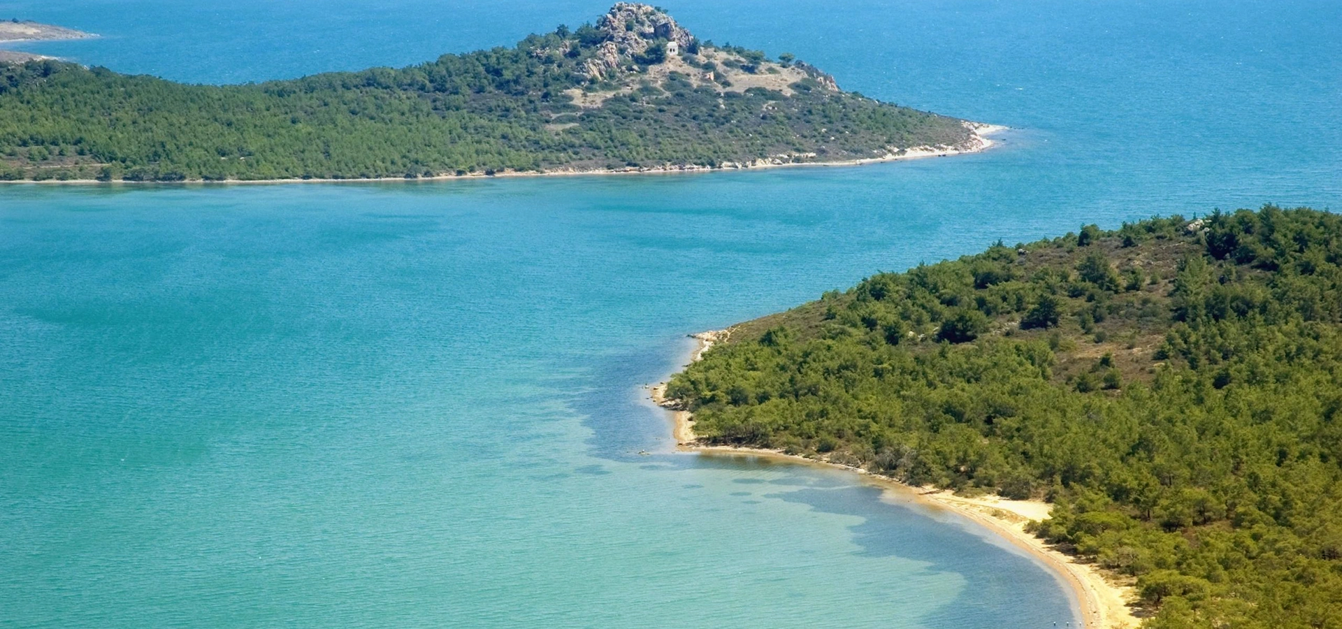
Compare Hisaralan's wild geothermal formations with one of Balıkesir's long-established thermal towns.
View Gönen Guide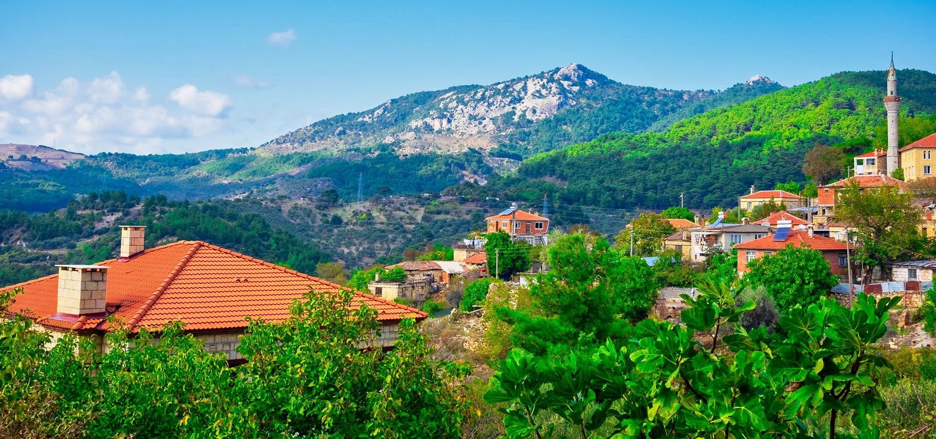
Continue the geological and natural theme toward Balıkesir's most famous mountain and forest landscape.
View Mount Ida Guide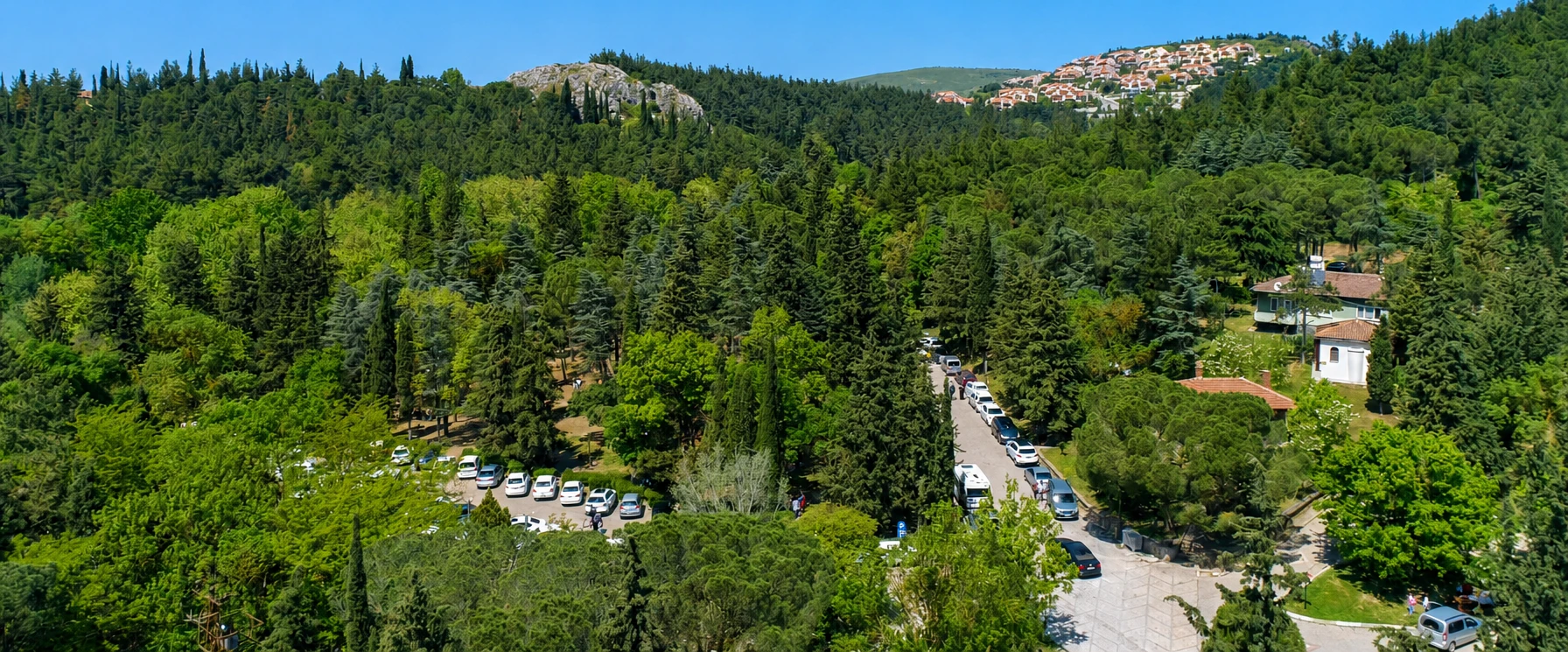
Add an easy forest stop near Balıkesir city to contrast with Hisaralan's hot mineral landscape.
View Değirmen Boğazı Guide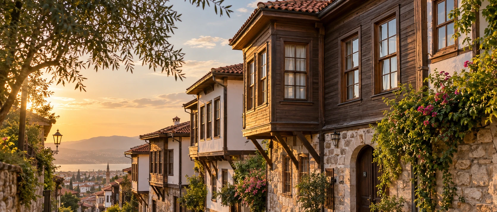
Continue from natural heritage to the architectural and urban history of the provincial capital.
View Balıkesir Historic Houses Guide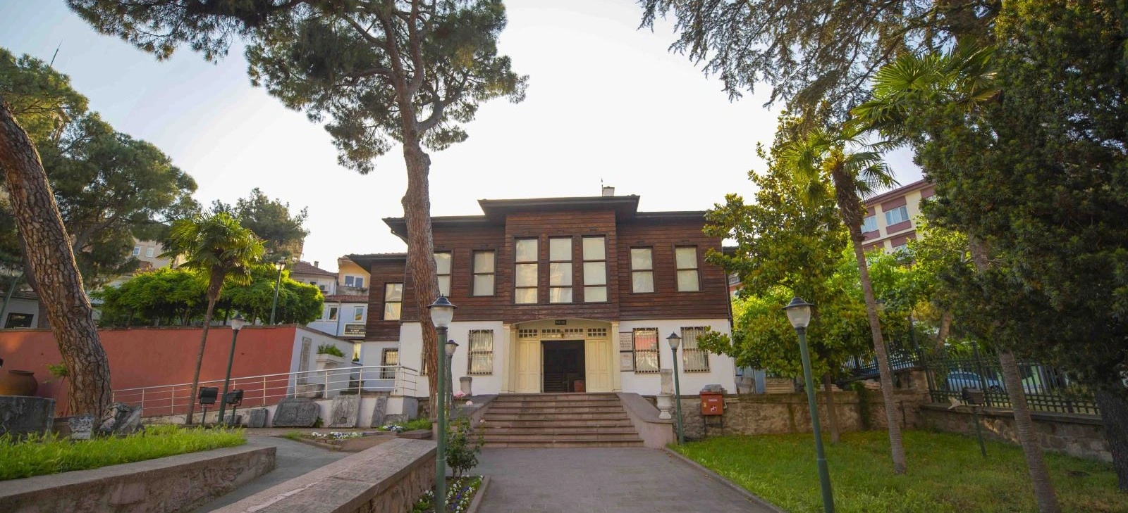
Add modern regional history to a Balıkesir journey built around nature, thermal heritage and rural culture.
View Kuvayi Milliye Museum Guide