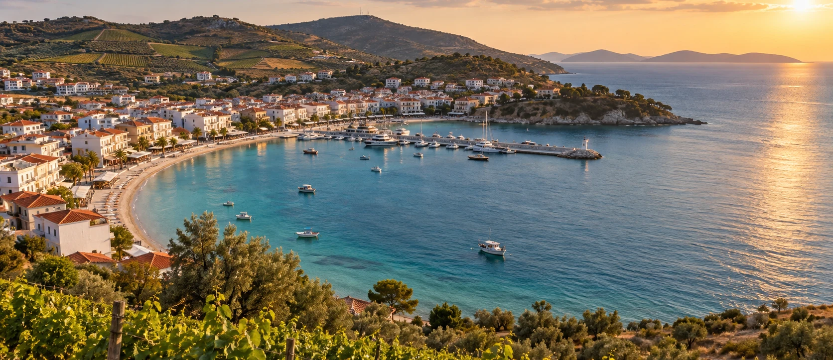
Avşa Island
Cross to Ekinlik's larger neighbour for beaches, vineyards, accommodation and a much livelier summer atmosphere.
View Avşa Island Guide





Ekinlik is one of the smallest inhabited islands in the southern Sea of Marmara, lying between Avşa Island and Marmara Island. Administratively it belongs to Marmara district in Balıkesir Province, and unlike neighbouring islands with several settlements, Ekinlik contains essentially one compact village gathered around its harbour.
Its modern scale is deceptive. Historically the island was known in Greek as Koutali / Kutali, and in the nineteenth and early twentieth centuries it supported a prosperous maritime community associated with merchant shipping, fishing and sponge-diving traditions. Old photographs show substantial houses, schools, churches and windmills that speak of a far busier island society than the quiet settlement visitors see today.
That earlier world changed dramatically in the twentieth century. The Greek Orthodox population left during the population exchange period, new residents arrived from the Black Sea region, and the destructive 1935 Marmara earthquake damaged much of the remaining historic building stock. Even so, Ekinlik still preserves remarkable fragments: Byzantine monastery remains, late Ottoman-period church ruins, a former Greek school, historic cistern and fountain structures, old houses and three documented windmills, including one carrying an 1877 inscription.
Ekinlik is therefore not an island for travellers searching for a long list of organised attractions. It is a place for slow walking, shoreline swimming, village observation and cultural memory. The entire island can be crossed quickly, yet the most rewarding visit comes from moving slowly enough to notice how a tiny landscape once supported a complex maritime society.
Discover the memory of a prosperous Greek Orthodox maritime community whose island story continues today in Nea Koutali on Lemnos.
Explore a compact harbour settlement where homes, small boats, gardens and village streets remain closely tied to the sea.
Look for the remains of churches, a monastery landscape, an old school, historic houses, cisterns and nineteenth-century windmills.
Swim from simple beaches and coves without the resort-scale development found on better-known summer islands.
Essential information for visiting the smallest inhabited member of the Marmara island group.
Sea of Marmara, Balıkesir Province, west of Avşa and southwest of the main Marmara Island.
Ekinlik belongs to Marmara district rather than Erdek, despite its close connection with the wider southern Marmara island network.
The island covers approximately 2.47 km², making it compact enough to understand largely on foot.
The island has essentially one village, Ekinlik, concentrated around the harbour and nearby slopes.
The island was historically known as Koutali / Kutali, a name closely associated with its Greek Orthodox maritime community.
Merchant shipping, fishing, seafaring and later sponge-diving traditions played major roles in the island's pre-1923 identity.
Documented heritage includes monastery remains, church ruins, an old Greek school, historic houses, windmills, a cistern and fountain.
Three windmills have been documented on Ekinlik; one preserves a marble inscription dated 1877.
Ekinlik has been used as a pioneering Turkish "Zero Waste Island" project, with separated collection and local composting systems.
Come for village atmosphere, maritime history and simple coastlines, not nightlife, shopping or organised attractions.
May–June and September are especially rewarding for walking, photography and swimming without peak-summer intensity.
Ekinlik is compelling because its physical scale and historical scale are completely different. On a map it appears almost insignificant beside Marmara and Avşa, yet historical evidence describes a community that once participated actively in maritime trade, produced wealthy shipowning families and maintained churches, schools, civic institutions and substantial houses.
Today, that urban confidence has largely disappeared from the surface. The village is small, the harbour is quiet and the roads become rural almost immediately. This contrast gives Ekinlik an unusually reflective atmosphere. You are not simply visiting a small island; you are walking through the reduced footprint of a society that once looked outward across the Marmara, Aegean and wider Mediterranean maritime world.
The island also offers a rare kind of heritage experience. Instead of entering fenced monuments, you encounter fragments within the ordinary landscape: a surviving windmill body, part of a church wall, the remains of a school, a fountain, a cistern or an old masonry house. These remains make sense only when viewed together with the harbour, the slopes and the village itself.
For travellers who value quietness, Ekinlik has another advantage: there is little pressure to "do" very much. Walk, swim, sit by the water, photograph the village from above, talk with residents when appropriate and let the island's smallness become part of the experience rather than something to overcome.
Ekinlik sits within the southern Marmara Archipelago between the much larger islands of Avşa and Marmara. With an area of roughly 2.47 square kilometres, it is dramatically smaller than either neighbour and can be visually understood from a few elevated points.
The inhabited area is concentrated around the island's main harbour and adjacent slopes. Beyond the village, the landscape opens quickly into dry grassland, small cultivated plots, low ridges and exposed coastline. There are no high mountains and no long inland journeys.
Because Ekinlik is surrounded by open sea and has relatively little shelter away from its main bay, wind shapes everyday conditions. A shore that looks perfect in photographs can feel completely different when the poyraz or other Marmara winds strengthen.
The island's compact form makes orientation easy, but it also means there is nowhere to hide from summer sun. Walkers should carry water, wear proper sun protection and avoid assuming that a short distance on the map will always feel easy at midday.
The practical arrival point and natural centre of island life, with boats, the village waterfront and the first view of Ekinlik's compact scale.
Homes, gardens, lanes and surviving heritage remains cluster closely enough that most exploration begins on foot.
The settlement once contained substantial Greek Orthodox religious and educational buildings; surviving fragments preserve part of that memory.
Higher ground around the village contains the remains of historic windmills positioned to exploit the island's exposed winds.
Simple beaches, rocky edges and small coves provide swimming and photography rather than highly serviced beach infrastructure.
Distances are short enough that the island rewards slow walking more than transport planning once you have arrived.
The documented history of Ekinlik is less extensive than that of major centres such as Kyzikos or Prokonnesos, but archaeological and architectural research shows that the island was inhabited by the Byzantine period. Medieval references also connect the island with the turbulent maritime politics of the early fourteenth century, when Catalan forces were active around the Marmara region.
By the Ottoman period the island was known as Koutali, and over time its single settlement developed into a strongly maritime Greek Orthodox community. Sea transport, merchant shipping, fishing and related trades shaped the local economy far more than the island's tiny land area might suggest.
The nineteenth century brought particular prosperity. Historical accounts and archival photographs describe wealthy shipowners, impressive multi-storey houses, schools, churches and civic life. The harbour connected Koutali with trading routes far beyond the southern Marmara, and seafaring knowledge became central to local identity.
The twentieth century transformed the island. The Greek population departed during the period of compulsory population exchange after the Greco-Turkish War, and migrants from the Black Sea region later settled on Ekinlik. The 1935 Marmara earthquake caused another major rupture, damaging already abandoned and vulnerable buildings. Modern Ekinlik emerged from these layers of migration, destruction and rebuilding.
The most surprising chapter in Ekinlik's history is the prosperity of old Koutali. Historical material preserved by the Museum of Maritime Tradition and Sponge-Fishing in Nea Koutali describes a settlement whose wealth depended heavily on sailing ships and maritime commerce during the nineteenth and early twentieth centuries.
This was not simply a fishing village. Shipowners, captains, merchants, craftsmen and sailors supported a much more complex island economy. Prosperity was visible in large houses, imported furnishings, schools and religious buildings, and historical photographs show a dense village footprint very different from today's quieter settlement.
The sea also shaped social status. Maritime families maintained connections with ports around the Ottoman world and beyond, while islanders developed specialist knowledge of vessels, navigation and underwater work. The community's dependence on the sea made mobility a normal part of life long before modern tourism or ferry travel.
Understanding this maritime background changes the way you see the modern harbour. What appears today as a peaceful village waterfront was once the front door of an outward-looking commercial island society.
Koutali's maritime identity is especially associated with sponge-diving. By the early twentieth century, islanders were operating specialised sponge-diving boats and using diving equipment that allowed them to work far beyond the immediate waters of the Marmara.
This expertise did not disappear when the Greek community left the island. Many former Koutali residents settled in Nea Koutali on Lemnos, where they continued maritime work and developed one of Greece's important modern sponge-diving communities.
Today, the Museum of Maritime Tradition and Sponge-Fishing in Nea Koutali preserves photographs, diving equipment, vessels, archaeological finds and community memories connected with old Koutali. In that sense, part of Ekinlik's historical archive survives outside Turkey, carried by the descendants of people who once lived on the island.
For travellers interested in migration and maritime heritage, this continuity is one of Ekinlik's most meaningful stories: a local occupation became a cultural tradition strong enough to cross the Aegean and take root in a new homeland.
The population exchange of the early Republican period ended centuries of Greek Orthodox community life on Koutali. Families left houses, churches, schools, workplaces and family graves behind, with many refugees eventually establishing new lives in Greece and elsewhere.
One of the strongest continuities developed on Lemnos, where the name Nea Koutali – New Koutali preserved the memory of the Marmara island. Maritime professions, family names, photographs and heirlooms helped carry the old island identity into a new geographical setting.
Ekinlik itself was later resettled by Turkish families, including migrants from the Black Sea region. They inherited an island whose older buildings had already been disrupted by abandonment, reuse and later earthquake damage.
Modern Ekinlik therefore has two intertwined historical narratives: the memory of Koutali's displaced Greek community and the lived experience of the Turkish families who rebuilt and sustained the island afterward. A respectful visit leaves space for both stories.
The major Marmara earthquake of January 1935 caused serious destruction throughout the island region. Ekinlik was particularly vulnerable because many older buildings were already abandoned, altered or poorly maintained after the population changes of the previous decade.
The earthquake helps explain why relatively little of old Koutali survives intact despite photographic evidence of a once substantial settlement. Masonry churches, houses, schools and outbuildings were damaged or collapsed, while later rebuilding changed the village further.
What remains today should therefore be understood as a survival rather than a complete architectural ensemble. A single wall, an old cellar, a windmill body or a fountain can be historically important because so much surrounding fabric has disappeared.
The earthquake story is also a practical reminder. Unrestored structures may be unstable, and visitors should never climb walls, enter damaged interiors without permission or treat ruins as informal playgrounds.
Academic fieldwork has documented an unusually rich group of cultural remains for such a small island. These include Byzantine monastery ruins, late-period church remains, a former Greek school, three windmills, a vaulted cistern, a nineteenth-century fountain and surviving examples of traditional houses.
Most of these structures are not presented as formal tourist attractions. Some are ruinous, some sit close to modern homes or fields, and others may be difficult to identify without local knowledge. This makes Ekinlik a place for careful observation rather than monument collecting.
The value of the island's heritage lies in the way different building types fit together. Churches and schools represent community institutions; windmills and cisterns explain practical island life; houses reflect prosperity; and the monastery points to a much older Byzantine religious landscape.
Treat every site as fragile. Photograph from respectful positions, avoid entering private property and leave loose stone, ceramic or architectural fragments exactly where you find them.
The oldest known religious heritage on Ekinlik is connected with the remains of a Byzantine-period monastery. Archaeological descriptions indicate that the complex once extended over a broad area and included several structures rather than a single isolated chapel.
The apse of the monastery church remains identifiable, offering one of the clearest physical links between modern Ekinlik and the island's medieval past. Its survival is especially important because later settlement concentrated elsewhere and much of the Byzantine-period landscape is no longer easy to read.
Do not expect a reconstructed monastic complex with marked paths or interpretation panels. Conditions can change with vegetation, land use and weather, and some sections may be unsafe or difficult to reach.
The best way to understand the monastery is as evidence that Ekinlik had religious and settlement significance centuries before the maritime prosperity of nineteenth-century Koutali.
Within the old settlement, researchers have documented the remains of a substantial nineteenth-century church, probably built in basilica form with rubble stone and brick. Today only parts of the apse and side walls survive.
Historical photographs identify the church as part of a larger civic landscape that also included a Greek school. The school stood on a high basement with two storeys above, although only parts of its lower structure and first-floor walls survived into modern documentation.
The relationship between church and school is important. Together they show that Koutali was not a scattered fishing settlement but an organised community investing in worship, education and civic identity.
When viewing the ruins, compare what survives with the scale implied by historical photographs. The gap between the two tells much of Ekinlik's twentieth-century story.
A second late-period religious structure has been documented outside the main settlement. Smaller and more isolated than the village church, its scale and setting make it resemble a chapel rather than a large parish church.
Only the main body walls remain, built largely of rubble stone. The modest architecture contrasts with the more prominent church in the settlement and illustrates the variety of religious spaces once used by the island community.
Its location also reminds visitors that old Koutali extended culturally beyond the harbour streets. Agricultural paths, devotional places, wells and windmills formed part of a connected working landscape.
Access should never be assumed. Ask locally before following tracks toward historic remains, particularly where routes cross private land or active gardens.
Three windmills have been documented on Ekinlik, positioned where exposed slopes could capture the strong Marmara winds. Two retain substantial body walls, while another survives only in its lower courses.
One mill is especially important because a marble inscription records the date 1877. The other surviving mills are believed to belong broadly to the same nineteenth-century period.
The windmills are more than picturesque ruins. They belonged to a food-production system that allowed an island community to process grain using the natural energy available on its exposed ridges.
For photography, include the sea and village in your composition whenever possible. A windmill makes most sense when seen as part of the landscape that powered and depended on it.
Fresh water has always been a critical issue on small islands, and Ekinlik's historic water structures are among its most practical pieces of heritage. At the Ayazma locality, researchers documented a rectangular vaulted cistern built with rubble stone and a brick vault.
Associated with the cistern is a marble fountain dated 1847. Its ornament includes decorative elements associated with Baroque and Empire styles, a surprisingly refined architectural detail for such a small rural island.
The structure reminds visitors that water supply required planning, investment and maintenance. Before modern systems, cisterns and fountains could be as essential to island survival as harbours and boats.
If you encounter the site, avoid touching carved surfaces unnecessarily and never climb on the vault or masonry. Historic water structures are vulnerable to both weathering and casual damage.
Only a small number of older houses survive, but architectural research indicates that traditional Koutali homes were commonly built with mixed masonry and timber construction and could rise two or three storeys.
Historical accounts go further, describing grand houses belonging to prosperous maritime families. Some were remembered as "saraia" – palace-like residences whose scale and decoration reflected the wealth generated by shipping.
Historical photographs of the so-called Seven Brothers Houses show just how urban and confident parts of the old settlement once appeared. Their disappearance is one of the clearest visual measures of the island's twentieth-century transformation.
Today's surviving houses deserve privacy and care. Some remain part of residential life, so photograph architecture rather than windows, courtyards or people without permission.
The harbour is the island's natural centre. Ferries and local boats arrive directly into a settlement where the waterfront, houses, mosque, small businesses and village lanes sit close together.
Spend time here before walking outward. The harbour allows you to understand scale immediately: hills rise gently behind the village, the open sea is always visible and the island's roads quickly become quiet.
The waterfront is also the best place to observe everyday island rhythms. Supplies arrive by sea, boats come and go, residents gather, and summer visitors move through a space that still functions as infrastructure rather than a purpose-built promenade.
In the evening, when ferry activity slows, the harbour can feel especially peaceful. If you stay overnight, this change of atmosphere is one of the strongest reasons to choose Ekinlik over a rushed day trip.
Ekinlik has attractive water and several places to swim, but it is not a conventional beach resort. Shorelines are simple, facilities are limited and the best swimming spot can change with wind direction.
That lack of development is precisely what many visitors enjoy. A swim may mean walking to a small cove, entering from pebbles or using a simple village shore with little more than clear water and a view toward neighbouring islands.
Do not assume lifeguards, showers, changing cabins or cafés will be available away from the village. Carry water, footwear and sun protection, particularly if you plan to spend several hours on the coast.
Ask residents which side of the island is calmest on the day. Marmara winds can transform sea conditions quickly, and local advice is far more useful than choosing a beach only from photographs.
Walking is the most natural way to experience Ekinlik once you have arrived. The island is only a few square kilometres, the settlement is compact and the surrounding landscape contains gentle roads and tracks rather than long mountain routes.
A good walk combines three elements: the harbour and village, one of the historic slopes with windmills or other remains, and a coastal section for swimming or views. There is little benefit in walking simply to accumulate distance.
The main challenge is exposure. Summer temperatures, reflected heat and strong wind can make a short route more demanding than expected. Start early or walk later in the afternoon whenever possible.
Use public roads and obvious tracks. Do not cut through gardens, fields or fenced land, and keep enough time to return to the harbour comfortably before your ferry if you are visiting for the day.
A bicycle can be pleasant on Ekinlik, especially for visitors staying overnight who want to move between the village and quieter parts of the coast without returning constantly to the harbour.
However, the island is so compact that a bicycle is not essential. Walking gives more time to notice architectural fragments, old walls, views and small paths that would be easy to pass quickly.
Cyclists should expect some rough surfaces, short climbs and wind exposure. Carry a repair kit and do not assume specialist bicycle services or replacement parts will be available on the island.
Ride slowly through the village. Streets are shared with residents, children, animals, local vehicles and people walking between homes and the harbour.
In recent years Ekinlik has gained a new layer of identity through the Zero Waste Island project. Official environmental reporting describes separate collection systems for recyclable, non-recyclable and organic waste, together with a mobile waste collection centre for categories such as electronic waste, batteries and used oils.
Organic waste is processed through a local composting system, reducing the amount that needs to be removed from the island. This matters especially on a small island where every bag of waste ultimately creates transport and storage challenges.
For visitors, the project is not simply an environmental slogan. It reinforces the need to separate rubbish correctly, minimise disposable packaging and avoid leaving anything on beaches or rural tracks.
A small island makes environmental impact visible very quickly. One careless picnic group can change the appearance of a cove; equally, responsible habits can make a noticeable positive difference.
Ekinlik is not a destination for restaurant hopping. Food options are limited and can change considerably between high summer and the rest of the year.
When local places are open, expect simple Turkish island food rather than elaborate dining: breakfast items, vegetables, home-style dishes, grilled foods and fish when genuinely available.
The island's maritime history naturally makes seafood part of its identity, but modern supply is seasonal and should not be romanticised. Ask what is fresh instead of expecting a fixed menu.
Carry water and a few snacks, especially outside July and August. At the same time, use open village businesses whenever practical; on an island this small, local spending has a direct effect.
The ferry approach shows the entire village against low hills and immediately gives a sense of the island's compact geography.
Even modest elevation can reveal the harbour, rooftops and surrounding sea in one composition.
Frame the mills together with village or sea rather than treating them as isolated stone objects.
Historic masonry beside modern homes can communicate the island's layered history more strongly than a ruin alone.
If staying overnight, low light can soften the dry slopes and give the harbour a completely different atmosphere.
Ask permission before photographing people as identifiable subjects, especially near homes, boats and private courtyards.
Green landscapes and very quiet village life, but ferry frequency and visitor services can be limited.
Excellent for walking, heritage exploration and photography before the strongest heat and busiest summer period.
Best for warm-water swimming and seasonal services, though accommodation and ferry demand can increase sharply.
One of the best months, often combining warm water, softer light and a calmer atmosphere after peak holidays.
Beautiful for solitude and rural colour, but wind, rain and reduced ferry or business schedules require flexibility.
Genuinely local and extremely quiet. Travel only with current ferry information and realistic expectations about services.
Enough for the harbour, village lanes and one short historical walk if ferry timing leaves only a brief stop.
A good minimum for the village, windmill area, one swim and time to sit rather than only walk through.
Ideal for most visitors: explore heritage slowly, walk to the coast, swim, eat locally and return without rushing.
The best experience if accommodation is available. Evening and early morning reveal a quieter island than any day trip can.
Focus on the village church and school area, windmills, old houses, cistern and whatever additional remains are safely accessible.
Spend most of your time around the waterfront and one quiet shore, ideal in July, August or early September.
Arrive early or stay late, climb above the village and work with harbour views, dry slopes, ruins and passing ferries.
Combine history, swimming and village life without ferry pressure, then enjoy the island after day visitors leave.
Ekinlik's scale makes responsible travel unusually important. Narrow roads, limited waste capacity, fragile ruins and a small year-round community can all be affected quickly by careless tourism.
Use the island's waste-separation system correctly and carry rubbish away from informal beaches. Avoid single-use items where possible, especially when you know everything arriving on the island eventually requires storage, recycling, composting or transport away again.
Never enter abandoned buildings simply because a door or wall is open. Historic remains may be unstable, privately owned or both. Photograph from public areas and ask permission when uncertain.
Most importantly, remember that Ekinlik is a living village rather than a museum exhibit. Keep noise low, avoid blocking lanes or harbour work, ask before photographing residents and support local businesses with the same respect you would expect in your own neighbourhood.
One village walk, one windmill viewpoint and one long swim are usually enough for a memorable family visit.
Carry water, snacks, hats, sunscreen and anything essential for younger children rather than relying on continuous shops.
Small beaches may have no lifeguard. Assess wind, depth and entry conditions carefully before swimming.
Historic windmills, church walls and other masonry can be unstable and should never be treated as play structures.
For many children, approaching a tiny island by sea and watching the harbour is as memorable as any attraction.
Leave a generous margin before departure so the end of the day does not become stressful.
The harbour and parts of the village can be manageable for travellers with limited mobility, but Ekinlik should not be assumed to have continuous step-free infrastructure.
Village streets can include gradients, uneven paving, gravel edges and narrow sections. Beaches may require crossing pebble, sand or rough ground without adapted access.
Historic sites such as windmills, church ruins, monastery remains and the Ayazma structures are generally landscape features rather than accessible visitor attractions. Rough paths and unstable surfaces are common.
If accessibility is essential, confirm ferry boarding arrangements and accommodation details before travelling. A rewarding visit can still focus on the harbour, village waterfront and scenic views without reaching every heritage site.
Selected regional ferry services connect Erdek with the Marmara islands, with Ekinlik included on certain sailings rather than every departure.
Ekinlik is geographically close to Avşa, and some inter-island schedules include connections between the two. Check the current timetable before planning.
Selected circular or regional services can link Ekinlik with Marmara Island depending on season and operator schedule.
Ekinlik suits foot passengers particularly well because the village and much of the island can be explored without a car once you arrive.
Strong Marmara winds can affect routes, timing and comfort. Reconfirm on the day when conditions are unsettled.
Seasonal island timetables change. Use current operator information instead of an old blog, social post or saved timetable.
Walking is the easiest and most appropriate way to explore Ekinlik for most visitors. The village is compact and the outer parts of the island are close enough that a vehicle rarely adds much to a normal sightseeing day.
A bicycle can be useful if you prefer not to walk in summer heat, but bring what you need for minor repairs because specialist services are limited.
Private vehicles may be possible on relevant ferry services, but they are unnecessary for most short visits and add parking pressure to a very small settlement.
Download an offline map before arrival, but treat it as a guide rather than permission to use every track. Some routes lead to private land, gardens or working areas.
Accommodation is limited and small-scale. Seasonal rooms or local rentals may be available, but selection is far smaller than on Avşa.
The easiest option if you have an early ferry or want restaurants and waterfront life within a short walk.
Because the total accommodation stock is small, busy weekends can remove availability quickly.
Avşa Island offers far more hotels, pensions and restaurants if your ferry plan allows Ekinlik as a day trip.
Marmara Island provides a wider range of accommodation while keeping you within the same island network.
Do not assume an online listing is operating year-round. Contact accommodation directly outside peak summer.
The most obvious contrast: a larger summer island with beaches, vineyards, accommodation and nightlife just across the water.
Explore ancient Prokonnesos, marble quarries, mountain landscapes and multiple villages on the archipelago's largest island.
Compare Ekinlik's single-village compactness with a larger rural island made up of five separate settlements.
Use the mainland gateway for ferry connections, accommodation and a broader introduction to the Kapıdağ coastline.
Add major ancient remains and mainland geography to the maritime story of the southern Marmara islands.
Continue with archaeological collections that provide wider context for the ancient cultures surrounding the Sea of Marmara.
People who enjoy sitting, walking and observing will find far more here than travellers rushing through a checklist.
Koutali's shipping and sponge-diving story gives the island an unusually rich maritime identity.
Ruined churches, windmills, old houses, cisterns and school remains reward anyone interested in vernacular cultural landscapes.
Harbour geometry, open sea, dry slopes and historic fragments create strong compositions with very little walking.
Quiet shores appeal to visitors who value clear water more than beach clubs or organised facilities.
If you already know Avşa or Marmara Island, Ekinlik reveals a far smaller and more intimate version of island life.
Confirm the timetable while planning and again shortly before travel because seasonal and weather-related changes occur.
Carry enough for walking and swimming, especially outside the busiest summer months when services are reduced.
Small seasonal businesses may not always offer every electronic payment option.
Useful for understanding the island's lanes and coastal tracks even though distances are short.
Low vegetation and exposed slopes provide little shade in the middle of summer.
Historic-looking ruins or paths may be on private property. Local permission matters.
Windmills, church walls and other masonry are fragile and may have hidden structural weaknesses.
Ekinlik's zero-waste systems work only when residents and visitors sort and dispose of rubbish correctly.
Ask locally where swimming is calmest rather than choosing a shore only because it looked good online.
Ekinlik's strongest qualities are silence, harbour life and history rather than entertainment venues.
Buy food or drinks locally when places are open. Small spending has a visible effect in a village of this scale.
Return to the pier early enough that a long swim, photograph or conversation cannot make you miss the boat.
Ekinlik matters because it compresses a remarkable amount of history into only a few square kilometres. Byzantine religious remains, nineteenth-century churches and schools, merchant-shipping prosperity, sponge-diving traditions, population exchange and earthquake destruction all belong to the same small landscape.
The island is also an important reminder that cultural heritage does not always survive as impressive monuments. Sometimes history survives as an incomplete wall, a windmill shell, a family photograph or the name of a new village founded by displaced people elsewhere.
Modern environmental initiatives add another dimension. The zero-waste project shows how the practical challenges of island life can become a testing ground for more sustainable systems of collection, composting and waste reduction.
For travellers, Ekinlik's lesson is simple: small places deserve time. Walk slowly, read the landscape carefully and the island becomes far more than a minor stop between Avşa and Marmara.
Ekinlik lies in the southern Sea of Marmara in Balıkesir Province, between Avşa and Marmara Island.
The island is administratively part of Marmara district.
Its area is approximately 2.47 square kilometres.
There is essentially one permanent settlement, also called Ekinlik.
The island was historically known as Koutali or Kutali in Greek sources.
Yes. It belongs to the same southern Marmara island group as Marmara Island, Avşa and Paşalimanı.
Yes. Archaeological and architectural research documents Byzantine-period settlement and monastery remains.
Maritime trade, merchant shipping, fishing and related seafaring occupations generated significant prosperity during the nineteenth and early twentieth centuries.
Yes. Koutali developed an important sponge-diving tradition that was later continued by displaced islanders in Nea Koutali on Lemnos.
Nea Koutali is a settlement on Lemnos in Greece associated with refugees from old Koutali after the population exchange.
Yes. Researchers have documented the remains of a nineteenth-century village church, a smaller outlying chapel-like structure and Byzantine monastery remains.
Only parts survive. Historical research records remains of the basement and some walls of the former school structure.
Three historic windmills have been documented, although they survive in different states of preservation.
Yes. One preserves a marble inscription dated 1877.
Yes. A vaulted cistern has been documented at the Ayazma locality.
Yes. The Ayazma fountain bears the date 1847 and includes decorative elements associated with Baroque and Empire styles.
The island's Greek Orthodox population left, and Turkish families, including migrants from the Black Sea region, later resettled Ekinlik.
The major Marmara earthquake caused heavy damage and accelerated the loss of older abandoned buildings and heritage structures.
Yes, provided the ferry schedule gives enough time. A full day is ideal because the island rewards slow exploration rather than fast sightseeing.
Yes. Walking is usually the best way to explore because the island is very small and the village is compact.
No for most visits. A car adds little unless you have a specific logistical need.
Yes, but walking is often simpler. Bring repair essentials because specialist bicycle services are limited.
Yes. Expect simple shores and small coves rather than large organised beaches with extensive facilities.
The calmest shore depends on wind direction. Ask locally on the day rather than relying on a fixed recommendation.
No. Accommodation is limited and small-scale compared with Avşa or Marmara Island.
Do not assume so. Seasonal businesses may reduce hours or close outside summer.
May, June and September are particularly good for walking, photography and pleasant sea conditions.
It becomes busier during the summer holiday period, but its small scale and limited infrastructure keep the atmosphere very different from larger resort islands.
Ekinlik has implemented separated waste collection, a mobile waste centre and local composting as part of a pioneering island-scale zero-waste programme.
Yes when the current ferry schedule permits. See our Avşa Island guide and verify the sailing first.
Yes. Selected inter-island services can connect the two. See our Marmara Island guide.
Potentially, if the seasonal ferry pattern works. See our Paşalimanı Island guide for planning context.
Bring water, sun protection, comfortable shoes, swimwear, a light layer, some cash, offline maps and a power bank.
See the harbour, historic church-school landscape, at least one windmill viewpoint and one quiet shore. The island's strongest attraction is how these pieces connect.
Build a southern Marmara journey that connects Ekinlik's maritime memory with vineyards, marble heritage, village landscapes and ancient cities.
Continue from Ekinlik to its nearest island neighbours and the mainland gateways beyond.
Cross to Ekinlik's larger neighbour for beaches, vineyards, accommodation and a much livelier summer atmosphere.
View Avşa Island Guide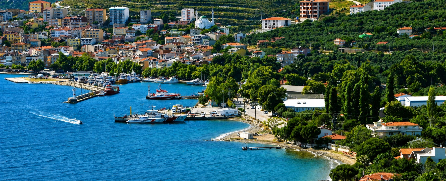
Explore ancient marble heritage, mountain landscapes, fishing villages and the archipelago's largest island.
View Marmara Island Guide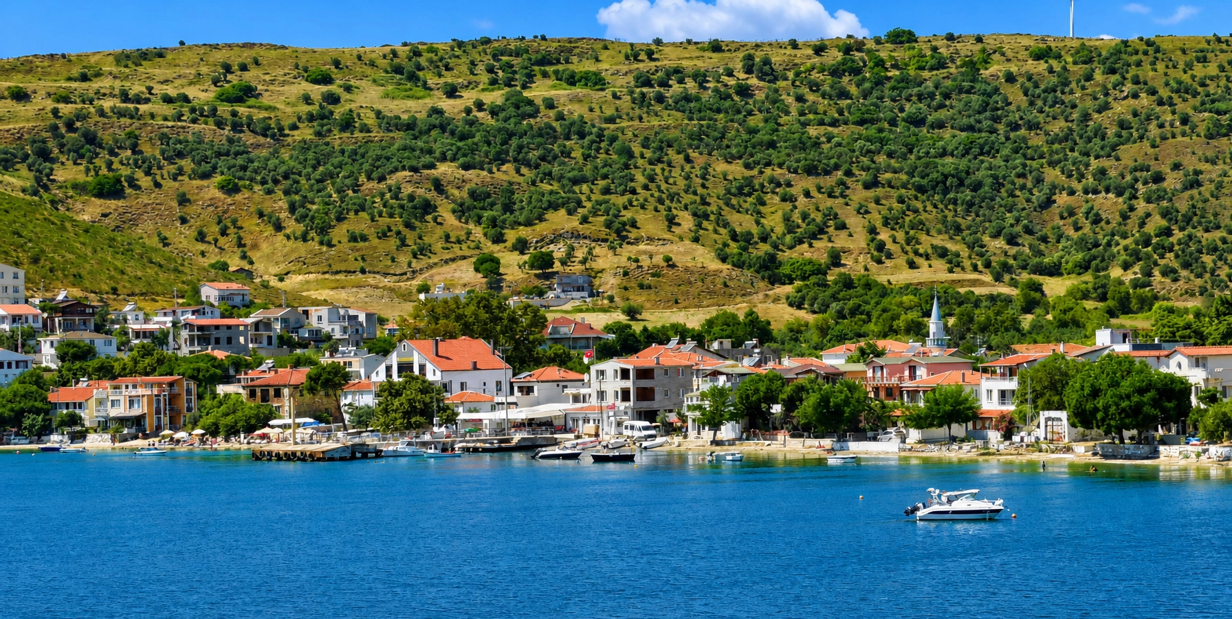
Compare Ekinlik's single compact village with a larger rural island made up of five settlements, olive slopes and quiet bays.
View Paşalimanı Guide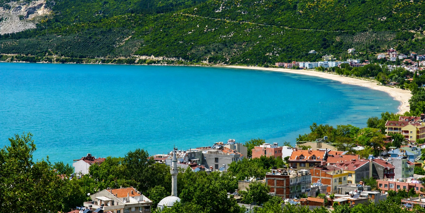
Use the historic mainland resort and ferry gateway as a base for exploring the wider southern Marmara island network.
View Erdek Guide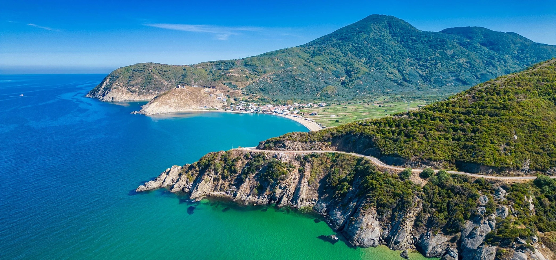
Add monumental ancient history to your island journey and understand the strategic geography of southern Marmara.
View Kyzikos & Kapıdağ Guide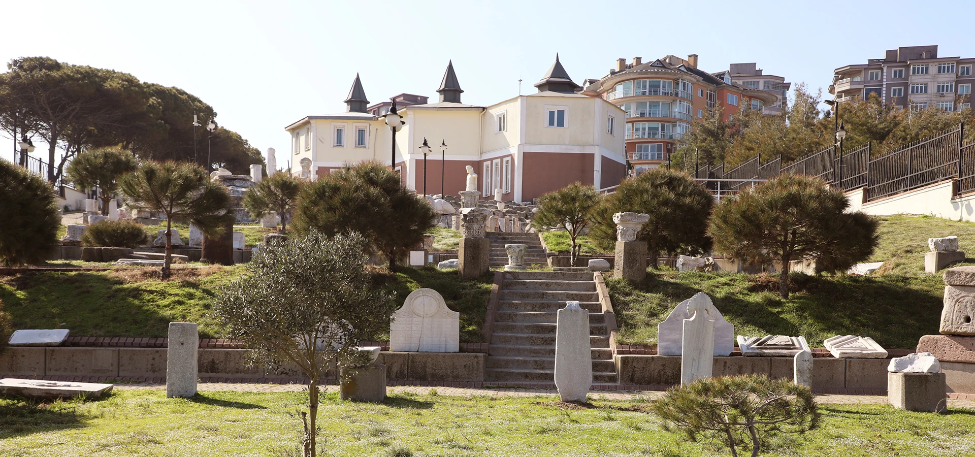
Continue the regional story with archaeological collections from Kyzikos and other sites around the southern Sea of Marmara.
View Bandırma Museum Guide