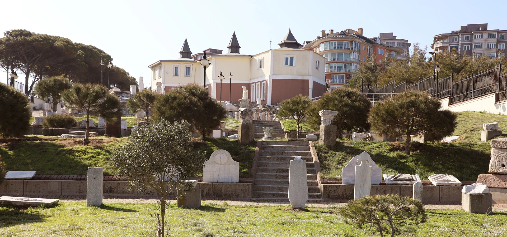
Bandırma Archaeology Museum
Continue from Edincik's Ottoman streets into the deeper archaeology of Daskyleion, Kyzikos, the Sea of Marmara and South Marmara.
View Bandırma Museum Guide





Only a short drive from modern Bandırma, Edincik feels like a completely different world. Narrow streets climb between old timber-and-masonry houses, tiled roofs lean toward the lanes, projecting upper floors create changing patterns of light and shade, and historic mosques rise from neighbourhoods that still preserve the scale of a traditional Anatolian town.
Edincik is not an open-air museum created for visitors. It is a living historic settlement, and that is precisely what makes it special. Families still inhabit old streets, small gardens remain tucked behind high walls, mosques continue to serve their communities and olive groves spread across the surrounding countryside. The visitor experience is therefore quieter and more intimate than in Türkiye's better-known heritage towns.
The settlement also preserves remarkable monuments from the first generations of Ottoman rule in the South Marmara region. Edincik Ulu Camii dates to 1382, while Emir Sultan Camii is traditionally dated to 1398. The Kız Dede – Ulu Paşa Mescidi and Kümbet Camii continue the story into the fifteenth century, creating an unusually dense concentration of early Ottoman religious architecture within a small townscape.
Edincik's cultural identity is not limited to architecture. Olive cultivation remains central to the surrounding landscape, and both Edincik Zeytini and Edincik Su Zeytinyağı now carry protected geographical-indication status in Türkiye. Together, the houses, mosques, old cemeteries, agricultural traditions and everyday street life make Edincik one of the most rewarding lesser-known places to explore around Bandırma.
Walk through lanes of timber-fronted houses with projecting upper floors, traditional doors, tiled roofs and details that preserve the character of old Edincik.
Ulu Camii, Emir Sultan Camii, Kız Dede Mescidi and Kümbet Camii preserve important layers of fourteenth- and fifteenth-century religious history.
A monumental old plane tree stands at the heart of local memory and is linked by tradition with Süleyman Paşa and the early Ottoman movement toward Rumelia.
The town gives its name to a protected local olive tradition, connecting architectural heritage with the agricultural landscape surrounding the settlement.
Essential information for exploring one of the most characterful historic settlements in the Bandırma and South Marmara region.
Edincik Mahallesi, Bandırma, Balıkesir Province, between Bandırma, Erdek, the Kapıdağ Peninsula and the inland routes toward Gönen.
A historic former town, now a neighbourhood of Bandırma, known for traditional houses, early mosques and old street texture.
Edincik Ulu Camii, dated by its inscription to 1382.
Emir Sultan Camii is locally known for the long-standing tradition of delivering Friday and festival sermons with a sword.
The Süleyman Paşa Plane Tree is one of Edincik's best-known symbols and is associated with early Ottoman local tradition.
Edincik Zeytini received Turkish geographical-indication registration in 2024.
Edincik sits near Kyzikos, Bandırma, Erdek and the Kapıdağ Peninsula, making it easy to combine with archaeology and coastal sightseeing.
On foot. The historic core is most rewarding when explored slowly through its lanes, slopes, courtyards and mosque precincts.
Allow around 2–3 hours for the historic centre; half a day is better for photography and a relaxed lunch or coffee stop.
Architecture, photography, Ottoman history, slow travel, local food culture and travellers searching for less-visited heritage places.
Edincik itself is an open neighbourhood with no general entrance fee. Individual historic buildings may have their own access conditions.
Bandırma Archaeology Museum, Kyzikos, Erdek and the Kapıdağ Peninsula.
Edincik is valuable because it offers something increasingly difficult to find: a historic Anatolian townscape that can still be experienced at human scale. There is no single monumental attraction that dominates the visit. Instead, the pleasure comes from the relationship between streets, houses, mosques, gardens, old trees and views toward the surrounding countryside.
The settlement is especially interesting for travellers who enjoy vernacular architecture. Traditional houses survive in clusters rather than as isolated museum pieces. Their upper storeys project over the street, timber cladding contrasts with plastered masonry, and old windows, doorways and rooflines create a constantly changing streetscape.
Edincik also deserves attention from anyone interested in the beginnings of Ottoman architecture in northwestern Anatolia. Several surviving religious monuments belong to the period when the Ottoman state was expanding around the Sea of Marmara and preparing for its permanent presence in Europe.
Finally, the town remains connected with the landscape that sustained it. Olive cultivation, local produce and the agricultural territory around Edincik are not decorative additions to its heritage; they are part of the same historical system that shaped the settlement for generations.
The wider Bandırma region has been inhabited since prehistoric times and later belonged to the cultural landscape of ancient Mysia and the Propontis – the Sea of Marmara. Greek, Persian, Hellenistic, Roman and Byzantine communities all left traces in the surrounding territory, particularly at nearby Kyzikos and other settlements around Kapıdağ and the southern Marmara coast.
Edincik entered the Turkish-Islamic political world during the period of the Karesi Beylik and early Ottoman expansion. Historical sources refer to the settlement as Aydıncık, a name that appears in the administrative history of Bandırma and the surrounding region.
By the late fourteenth century, the town had become sufficiently established to support substantial religious architecture. The construction of Ulu Camii in 1382 and Emir Sultan Camii soon afterward demonstrates the significance of the settlement during the formative Ottoman period around the Sea of Marmara.
In later centuries Edincik developed as an agricultural and local commercial centre. Ottoman houses, neighbourhood mosques, fountains, cemeteries and streets accumulated around the older monuments. Although modern roads and administrative changes reduced some of its former regional importance, the historic core retained a remarkable amount of architectural character.
Today Edincik is administratively a neighbourhood of Bandırma, yet it preserves the physical scale and identity of an older small town. That contrast between administrative status and historical character is one of the reasons the settlement feels so distinctive.
Older historical references frequently use the name Aydıncık for the settlement. Bandırma itself was at different times administratively connected with Aydıncık and other nearby centres before becoming the dominant modern city of the district.
The transition from Aydıncık to the modern name Edincik is part of the long linguistic and administrative evolution of the town. Exact explanations of the name's origin vary, and travellers should treat confident folk etymologies with caution unless they are supported by historical documentation.
What is certain is that Edincik once occupied a more prominent role in the regional network than its quiet appearance today might suggest. Its old mosques and substantial residential architecture make much more sense when the town is understood as a historic local centre rather than simply a modern suburb of Bandırma.
The best way to understand Edincik is to forget the idea of a single sightseeing route and pay attention to the spaces between the monuments. The bends in the lanes, the changing width of the streets, garden walls, projecting houses and sudden views all belong to the historical experience.
Traditional neighbourhoods developed organically rather than according to a rigid modern grid. Streets therefore respond to topography, property boundaries and older pedestrian movement. This creates the irregular, intimate character that makes Edincik especially rewarding for walking and photography.
Older streets preserve the narrow scale of pedestrian and animal traffic rather than modern vehicle-oriented planning.
Cumbas and overhanging rooms increase interior space while creating the strongly three-dimensional façades associated with traditional Ottoman houses.
Private courtyards and gardens remain partially hidden from the street, reflecting the relationship between domestic privacy and public life.
Rows of red tiles soften the skyline and visually connect houses built or altered during different periods.
Neighbourhood mosques act as orientation points and reveal how religious and social life structured the old settlement.
Beyond the houses, agricultural land reminds visitors that Edincik's economy and identity have always extended far outside the built-up centre.
For many visitors, the historic houses of Edincik are the town's greatest visual attraction. Some are carefully maintained or restored; others show the marks of age, repair and changing use. Together they create a valuable record of domestic architecture rather than a uniform collection of newly renovated façades.
Traditional examples are generally two or three storeys high and use a combination of masonry, timber framing, wooden cladding and plaster. Upper floors often project beyond the ground-floor wall line, sometimes supported by shaped timber brackets. Rows of windows bring light into the principal living spaces while allowing residents to observe the street.
Academic work on Edincik's cultural heritage notes that some houses preserve original details such as doors, metal knockers and internal fittings. These small elements are worth noticing because they reveal craft traditions and patterns of everyday life that are easily lost when historic buildings are heavily modernized.
The houses should also be understood as private homes, not merely picturesque scenery. Photograph façades respectfully, avoid entering courtyards without permission and remember that many of the most beautiful lanes are still ordinary residential streets.
Projecting upper-floor windows enlarge rooms, improve views and animate the street façade with depth and shadow.
Look beneath projecting floors for structural and decorative supports that reveal the logic of traditional timber construction.
Window proportions, frames and shutters often survive even where later repairs have changed the rest of a façade.
Large wooden doors and smaller pedestrian entrances communicate the boundary between the public street and private domestic world.
Metal knockers are modest objects, but they preserve traditional craftsmanship and can differ considerably from house to house.
More solid lower levels often support lighter upper construction and historically accommodated storage, work or service functions.
Traditional tiled roofs and generous eaves protect walls from weather while contributing strongly to the visual unity of the streets.
Even when you cannot see inside, garden walls and gates help explain the domestic layout and privacy of traditional households.
Edincik Ulu Camii is the most important early monument in the town and one of the strongest reasons to include Edincik in a historical journey around South Marmara. According to the inscription at the entrance, the mosque was built in 1382 by İldutan bin Abdullah.
The mosque stands in the Hisar area, traditionally described as the northwestern part of the old settlement. Its principal prayer hall has a longitudinal rectangular plan, and the building later received additions and repairs, including a northern last-congregation space dating from the nineteenth century.
What makes the building especially valuable is its date. The late fourteenth century was a period of rapid Ottoman expansion around the Marmara region. A functioning mosque from this phase allows visitors to connect Edincik directly with the political and cultural transformations that were reshaping northwestern Anatolia.
Do not focus only on the architecture. The mosque stands within a large historic precinct containing Ottoman-period gravestones. These inscriptions and carved stones form an important part of the monument's historical environment.
Emir Sultan Camii is traditionally dated to 1398 and is one of Edincik's best-known historic mosques. The structure is associated in local memory with Emir Sultan and with the early Ottoman conquest history of the settlement.
The mosque is particularly famous for the long-standing custom of the imam appearing with a sword during the Friday and religious-festival sermon. Anadolu Agency documented the continuation of this practice in the twenty-first century and noted that the mosque is consequently known locally as the “Kılıçlı Cami” – the Sword Mosque.
Traditions surrounding the sword and the conquest of Edincik contain layers of oral history, religious symbolism and local memory. Visitors should distinguish between the documented continuation of the custom and the more legendary explanations attached to its origin.
Architecturally, the mosque belongs to the same early Ottoman environment that makes Edincik exceptional. Together with Ulu Camii, it shows that the town was already a significant Muslim settlement by the end of the fourteenth century.
The small structure known as Kız Dede Mescidi or Ulu Paşa Mescidi is one of Edincik's most intriguing historic sites. Epigraphic research places the monument in the early fifteenth century, within the generation following the construction of Edincik's earliest major Ottoman mosques.
The building is especially interesting because researchers have documented the use of Byzantine spolia – architectural stone reused from earlier structures. Such reuse is common across Anatolia and illustrates how new religious buildings were constructed within landscapes already filled with material from older Roman and Byzantine settlements.
The mescid is associated with a small burial area and local traditions surrounding the figure of Kız Dede. Some stories about the site vary considerably, so it is best approached as a place where written evidence, funerary history and oral tradition overlap rather than as a monument with one simple narrative.
Its modest size makes it easy to underestimate. For visitors interested in archaeology and architectural continuity, however, it may be one of the most intellectually rewarding stops in Edincik.
Kümbet Camii stands in the neighbourhood that shares its name and represents another important layer of Edincik's Ottoman heritage. The building does not preserve a foundation inscription, but official cultural-inventory information records a traditional date in the fifteenth century.
The mosque has a rectangular prayer-hall plan and has undergone repairs over time. Twentieth-century interventions altered parts of the roof and entrance arrangement, while the minaret and adjacent tomb area were also affected by structural damage and rebuilding.
For visitors, the value of Kümbet Camii lies partly in seeing how a historic religious building remains embedded within its neighbourhood. Unlike a monument isolated inside an archaeological park, it continues to belong to the everyday spatial pattern of Edincik.
Edincik contains a surprisingly large number of mosques for a settlement of its scale. Municipal listings include Ulu Camii, Emir Sultan Camii, Kümbet Camii, Hisar Camii, Çarşı Camii, Hamidiye Camii, Buhye Camii and several newer mosques serving modern residential areas.
Not all of these buildings are equally old, and many have undergone significant rebuilding. Nevertheless, their distribution helps visitors understand Edincik as a settlement historically divided into neighbourhood communities rather than a town organized around a single monumental centre.
When visiting active mosques, dress respectfully, avoid entering during congregational prayer unless you are participating, remove shoes where required and ask before taking close photographs of worshippers.
One of Edincik's most recognizable landmarks is its monumental plane tree, traditionally associated with Süleyman Paşa, son of Orhan Gazi and a central figure in the early Ottoman expansion toward Rumelia.
Local tradition holds that Süleyman Paşa rested beneath the tree and tied his horse here during the fourteenth century. The story has been repeated for generations and has become an important part of Edincik's identity. The precise historical details are difficult to verify independently, so the connection is best understood as a deeply rooted local tradition rather than a conclusively documented event.
The tree itself has long been described as several centuries old and has survived storm damage, disease and changing urban conditions. Its survival matters because monumental trees function differently from architectural heritage: they are living organisms that require continuing care rather than static conservation.
Pause here rather than treating the tree as a quick photograph. Its position within the town and its relationship with nearby streets and monuments help explain why it became a collective meeting point and a symbol of Edincik.
Edincik's historic mosques are accompanied by hazires – burial areas containing Ottoman gravestones. These may appear secondary beside the buildings, but they are among the town's richest historical documents.
Ottoman gravestones can preserve personal names, family relationships, professions, religious formulas and dates. Their forms and carved headgear may also indicate gender, social identity or status, although interpretation should be made carefully and preferably with specialist guidance.
The burial ground around Ulu Camii is especially important because it preserves the long continuity of the mosque precinct. Similar funerary evidence elsewhere in Edincik helps reconstruct neighbourhood histories that are no longer visible in written street signs or modern buildings.
Treat these spaces as active places of memory. Avoid stepping over graves, touching fragile stones or using them as supports for photographs.
The historic centre is only one half of Edincik's story. The other lies in the agricultural landscape, where olive cultivation has shaped local livelihoods, seasonal rhythms and food traditions.
The importance of this heritage is now formally recognized. Edincik Zeytini was registered as a Turkish geographical indication in March 2024, while Edincik Su Zeytinyağı received geographical-indication registration in June 2024. The protected geographical area for the olive oil includes the Bandırma and Erdek districts.
For travellers, this means Edincik can be experienced through taste as well as architecture. If buying olives or olive oil, look for clearly labelled regional products and, where relevant, the registered geographical-indication designation rather than assuming every product sold nearby is locally produced.
Edincik's architectural heritage has survived unevenly. Some houses are in good condition, some have been restored, and others show deterioration caused by age, abandonment, inappropriate repairs or the natural vulnerability of timber construction.
Bandırma Municipality has undertaken planning and restoration initiatives for registered civil architecture in Edincik, including projects involving historic houses and street rehabilitation. Municipal reports have also referred to restoration planning around 45th Street and Atatürk Avenue and to efforts to return historic buildings to active use.
This matters because successful conservation is not simply a matter of painting façades. Traditional houses survive best when their structural systems, timber elements, proportions, roof forms and relationship with the street are protected while allowing buildings to remain useful to contemporary residents.
Visitors may occasionally encounter construction or restoration work in the historic core. Rather than seeing this only as an inconvenience, it is worth remembering that Edincik is still negotiating how to preserve a living neighbourhood rather than freeze it at one date in the past.
Spend time away from the main road and explore the smaller lanes where traditional domestic architecture is easiest to appreciate.
See one of the settlement's oldest surviving monuments and the historic burial area surrounding it.
Discover the mosque associated with Edincik's distinctive sword-sermon tradition and early Ottoman memory.
Look for a small but historically layered monument where early Ottoman architecture incorporates reused Byzantine stone.
Add another fifteenth-century layer to the story of Edincik's neighbourhood development.
Pause at the town's best-known living landmark and consider the difference between documented history and local tradition.
Notice the calligraphy, forms and carved details that preserve individual stories around the historic mosque precincts.
Connect the historic streets with the agricultural landscape by looking for locally produced olives and olive oil.
Use the higher parts of the settlement to understand Edincik's position between Bandırma, Kapıdağ, Erdek and inland agricultural routes.
Edincik is not a place where the best experience comes from rushing between pins on a map. The historical character lies in the continuity between those points, so build time into your visit simply to walk.
Begin around the central streets and orient yourself before moving into the older hillside neighbourhoods.
If a lane contains several timber houses, follow it even when it does not appear on a standard sightseeing list.
Many of Edincik's best details are above eye level: upper-floor projections, roof eaves, brackets, windows and minarets.
Street paving, thresholds and changes in level reveal how movement through the old town worked before modern road engineering.
Historic houses are often occupied. Photograph from public streets and never enter courtyards without clear permission.
Edincik rewards curiosity more than a rigid itinerary; some of the most memorable corners are discovered between the major monuments.
Low morning light can reveal timber textures, projecting façades and uneven street surfaces without the strongest midday contrast.
Warm light is excellent for tiled roofs, old plaster, timber cladding and the monumental plane tree.
Edincik's irregular lanes create natural compositions in which houses gradually reveal themselves around corners.
Doors, knockers, brackets, shutters, roof edges and old stonework often communicate more than a wide street photograph.
Ask permission before making identifiable residents the main subject of a photograph, especially in quiet residential lanes.
Inside mosque precincts, prioritize religious use over photography and avoid disrupting prayer or funerary spaces.
Excellent for walking, photography and combining Edincik with green landscapes around Kapıdağ and Lake Manyas.
Visit in the morning or late afternoon when the lanes are cooler and architectural shadows are more attractive.
One of the most atmospheric seasons, especially when the surrounding agricultural landscape enters the olive-harvest period.
The town remains visitable year-round, although rain and wind can make steep or stone-paved streets slippery.
For photography, weekday mornings are particularly appealing because the historic streets tend to feel quieter. Friday visitors should remember that active mosques can be especially busy around midday prayer.
Enough for a brief walk through the centre, a few historic houses and one major mosque, but too short for the town's full character.
A good minimum for Ulu Camii, the historic streets, plane tree and one or two additional monuments.
Ideal for most visitors who want to explore the architecture slowly, take photographs and see several mosque precincts.
Best for architecture enthusiasts, photographers and travellers who want to stop for food or olive products without rushing.
Edincik can work well for families because the experience is outdoors and varied. Instead of presenting the town as a sequence of dates, encourage children to search for architectural details.
Look for houses whose upper floors project farther into the street than their ground floors.
Use Ulu Camii to introduce the idea that some buildings have served communities for many centuries.
The historic plane tree makes an easy and memorable landmark for younger visitors.
Compare different doors and metal details without touching private property.
Take care on steep, uneven or vehicle-shared streets, particularly with very young children. Historic lanes were not designed for modern traffic separation.
Edincik's old town includes slopes, uneven paving, narrow lanes and changes in level. These features are part of its historic character but can create challenges for wheelchair users, travellers with reduced mobility and visitors using strollers.
Main streets and newer public areas are generally easier than the smallest historic lanes. Visitors with specific mobility requirements may prefer to explore by vehicle between major points and take shorter walks where surfaces are suitable.
Access to individual mosques can vary because of thresholds, steps, courtyard surfaces and historic entrances. Conditions may also change after restoration or municipal street works, so local confirmation is useful when accessible entry is essential.
Edincik lies within the Bandırma district and is easily reached by road from Bandırma, Erdek and the Kapıdağ Peninsula. A private vehicle offers the greatest flexibility if you are combining several archaeological and coastal sites in the same day.
Drive west from the city toward the Edincik–Erdek side of the district. The journey is short enough for Edincik to work as a half-day excursion.
Approach from the Kapıdağ side and combine Edincik with Kyzikos Ancient City on the same general route.
The easiest choice for travellers planning to continue to Kyzikos, Bandırma Museum, Lake Manyas or other South Marmara destinations.
Local services connect Edincik with Bandırma, but frequencies and stopping points can change; confirm the current schedule before travelling.
Once in the historic centre, walking is usually more enjoyable than repeatedly moving the vehicle. Park without blocking narrow residential streets or entrances and explore the old neighbourhoods on foot.
Explore the monumental ruins of one of the great cities of the ancient Propontis near the southern entrance to the Kapıdağ Peninsula.
See finds from Kyzikos, Daskyleion and the wider South Marmara region, including Persian, Roman and underwater archaeology.
Continue to the Marmara coast for harbour views, seaside restaurants and access to the villages and landscapes of Kapıdağ.
Combine historic sightseeing with mountain roads, forests, coastal villages and changing views across the Sea of Marmara.
Travel inland for wetlands, birdlife and one of the region's most important natural environments.
Discover the Persian satrapal centre near Lake Manyas and connect Edincik's Ottoman history with much older regional archaeology.
Traditional houses, timber details, irregular streets and early mosques provide a rich study of layered Anatolian architecture.
Late-fourteenth- and fifteenth-century monuments make Edincik particularly relevant to the early Ottoman history of South Marmara.
Curving lanes, wooden façades, historic trees and changing light create an unusually varied compact photographic environment.
Edincik rewards walking, observation and spontaneous discovery rather than checklist sightseeing.
Protected Edincik olives and olive oil connect the town directly with the surrounding agricultural landscape.
The town fits naturally between Bandırma, Kyzikos, Erdek, Kapıdağ, Manyas and Gönen itineraries.
Uneven paving, slopes and long periods of walking are part of the experience.
Architectural details are easiest to appreciate and photograph when the streets are well lit.
Many beautiful façades belong to occupied homes; stay in public areas unless invited inside.
Carry clothing appropriate for active religious sites and avoid the busiest prayer periods when sightseeing.
Local stories are valuable cultural heritage, but distinguish oral tradition from dates and events supported by inscriptions or archival evidence.
If buying Edincik olives or olive oil, ask where the product was grown and whether it carries the registered geographical indication.
Edincik is ideal as the historical opening or closing chapter of a day that also includes Kyzikos, Erdek or Bandırma Museum.
Street rehabilitation and restoration projects can temporarily alter access or the appearance of individual buildings.
Edincik is important because it preserves a type of heritage that can disappear quietly. A monumental ancient theatre can remain visible even after centuries of abandonment. A traditional residential street is more fragile: one demolished house, one widened road or one inappropriate façade replacement can gradually erase the relationships that make the whole neighbourhood meaningful.
The town also demonstrates that Ottoman history is not confined to imperial capitals. Small settlements around the Sea of Marmara played crucial roles in the early expansion of Ottoman political and religious networks, and buildings such as Ulu Camii preserve this history at local scale.
At the same time, Edincik is not only about the past. Its olive groves, active mosques and inhabited houses continue to shape community life. Preserving the town therefore means balancing archaeology, architecture, agriculture and the needs of people who live there now.
For travellers willing to slow down, Edincik offers something more valuable than a single spectacular photograph: the chance to read centuries of history through an entire living landscape.
Edincik is a historic neighbourhood of Bandırma in Balıkesir Province, close to the routes toward Erdek and the Kapıdağ Peninsula.
Yes, especially for travellers interested in traditional Ottoman houses, early mosques, photography, local food culture and quieter historic towns away from major tourist circuits.
Edincik is best known for its historic houses, early Ottoman mosques, monumental plane tree and olive-growing tradition.
Historical sources frequently refer to the settlement as Aydıncık.
Historically it functioned as a town and former municipality; today it is administratively Edincik Mahallesi within Bandırma.
The entrance inscription dates the mosque to 1382, making it one of Edincik's most important early Ottoman monuments.
The mosque is traditionally dated to 1398 and is known for a long-standing practice in which the imam delivers Friday and religious-festival sermons with a sword.
Yes. The practice has been documented in modern reporting, although individual schedules and local arrangements can change.
Kız Dede, also known as Ulu Paşa Mescidi, is a small early Ottoman religious monument with a burial area and reused Byzantine architectural stone.
Official inventory information places the mosque's traditional foundation in the fifteenth century, although the building has undergone later repairs.
Many are private residences and should be appreciated from public streets. Access to restored public or cultural buildings can vary.
Look for projecting upper floors, timber brackets, wooden cladding, tiled roofs, historic doors, metal knockers, garden walls and irregular street alignments.
It has long been described locally as several centuries old. Tradition connects it with Süleyman Paşa in the fourteenth century, but the exact historical details of that story should be treated as local tradition rather than proven fact.
Edincik Zeytini is a locally associated olive product that received Turkish geographical-indication registration in 2024.
It is a geographically indicated olive oil whose protected production area includes the Bandırma and Erdek districts. Registration was completed in 2024.
Allow around 2–3 hours for a satisfying visit, or half a day if you enjoy architecture and photography.
Yes, and walking is the best way to experience it, but expect slopes, uneven paving and narrow streets shared with local traffic.
Some modern areas are relatively easy, but the historic core includes uneven streets, slopes, thresholds and steps. Access varies significantly between individual monuments.
No. Edincik is a living neighbourhood rather than a ticketed attraction. Individual buildings may have their own access conditions.
Yes from public streets, but respect residents' privacy and ask permission before making identifiable people the main subject of your photographs.
Morning and late afternoon generally provide the most attractive light for timber façades, narrow streets and rooflines.
Very easily. Kyzikos Ancient City is one of the best archaeological sites to combine with Edincik.
Yes. The contrast is excellent: Edincik focuses on Ottoman town heritage, while Bandırma Archaeology Museum explains much older Persian, Greek, Roman and medieval history.
Yes. Edincik works naturally with Erdek and the Kapıdağ Peninsula for a day combining architecture, archaeology and the Marmara coast.
Yes. Lake Manyas Bird Paradise provides a completely different natural landscape within the broader Bandırma region.
Prioritize the historic house streets, Ulu Camii, Emir Sultan Camii, Kız Dede Mescidi, Kümbet Camii, the monumental plane tree and local olive culture.
It is less polished and less commercialized. Its strength lies in the feeling of a living neighbourhood where important early monuments and traditional domestic architecture remain integrated with everyday life.
Use Edincik as the Ottoman chapter of a wider South Marmara journey through ancient cities, archaeological museums, wetlands, marble islands and the landscapes of the Sea of Marmara.
Build a route connecting historic Edincik with Bandırma, Kyzikos, Manyas and the islands of the Marmara Sea.
Continue from Edincik's Ottoman streets into the deeper archaeology of Daskyleion, Kyzikos, the Sea of Marmara and South Marmara.
View Bandırma Museum Guide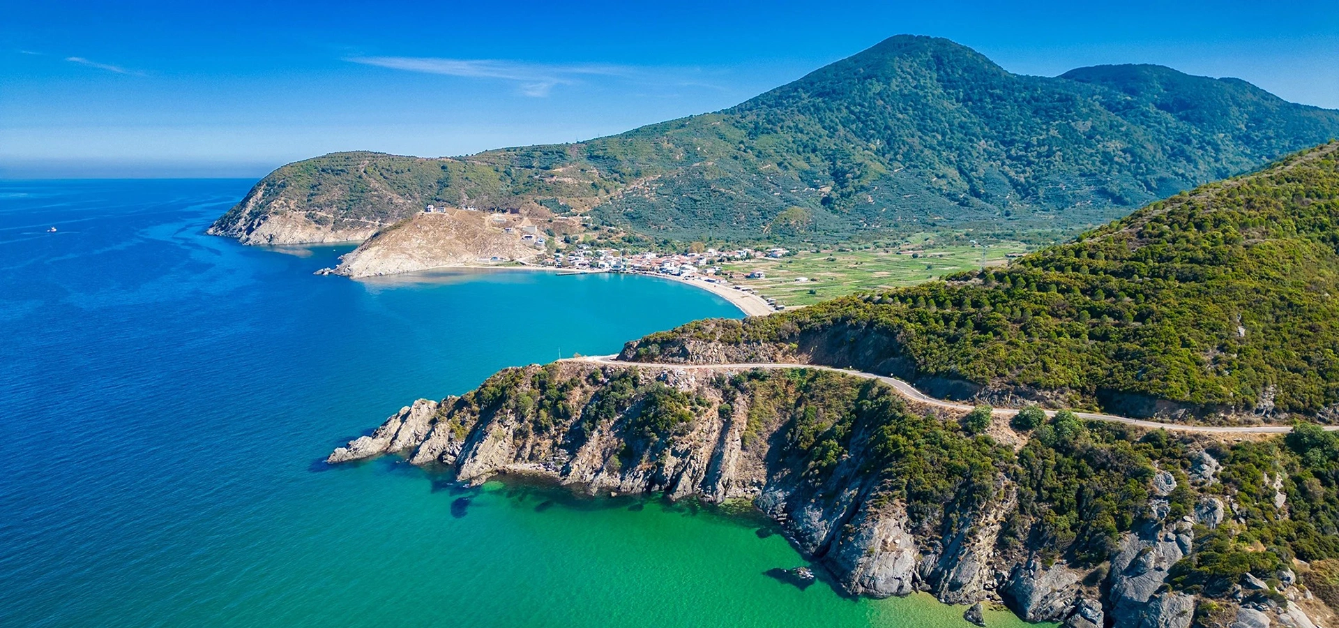
Explore monumental ancient ruins and continue into the coastal villages, forests and mountain landscapes of Kapıdağ.
View Kyzikos & Kapıdağ Guide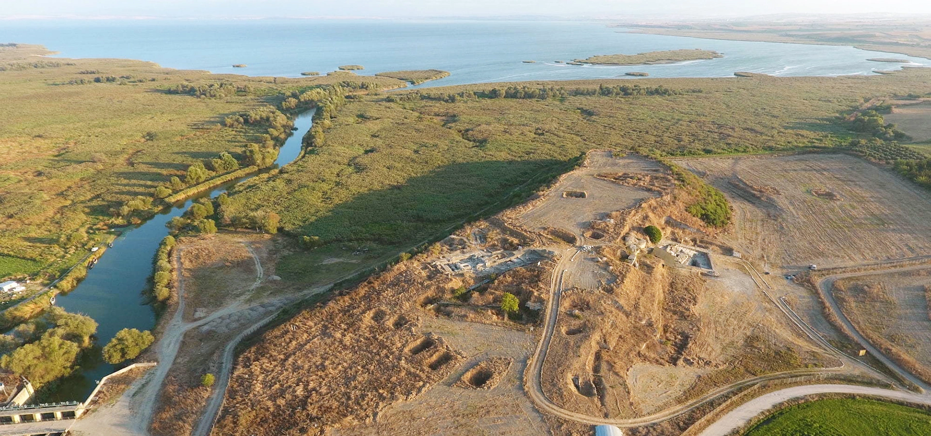
Travel from Edincik's Ottoman world into the Persian-period political landscape of ancient northwestern Anatolia.
View Daskyleion Guide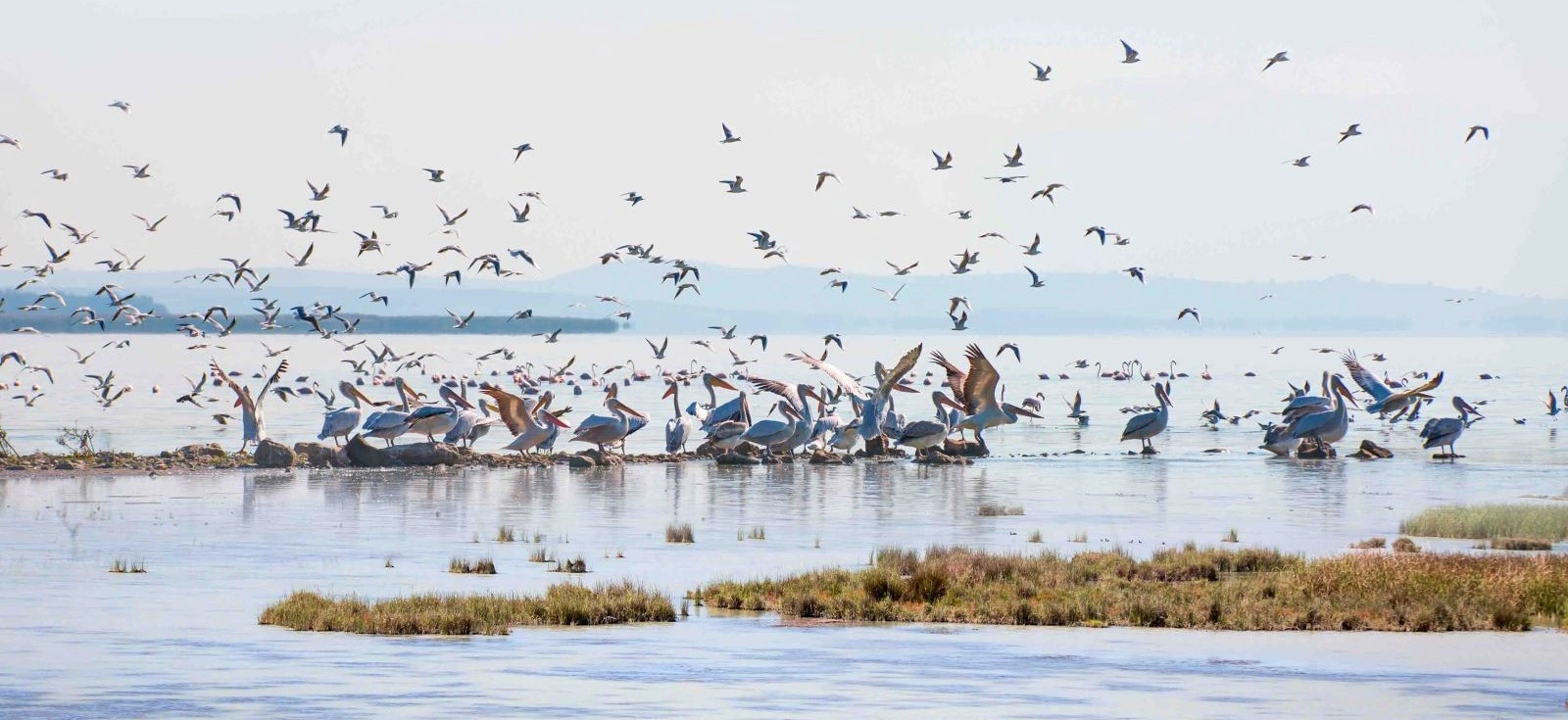
Balance historic architecture and archaeology with one of Türkiye's most important wetland and bird habitats.
View Lake Manyas Guide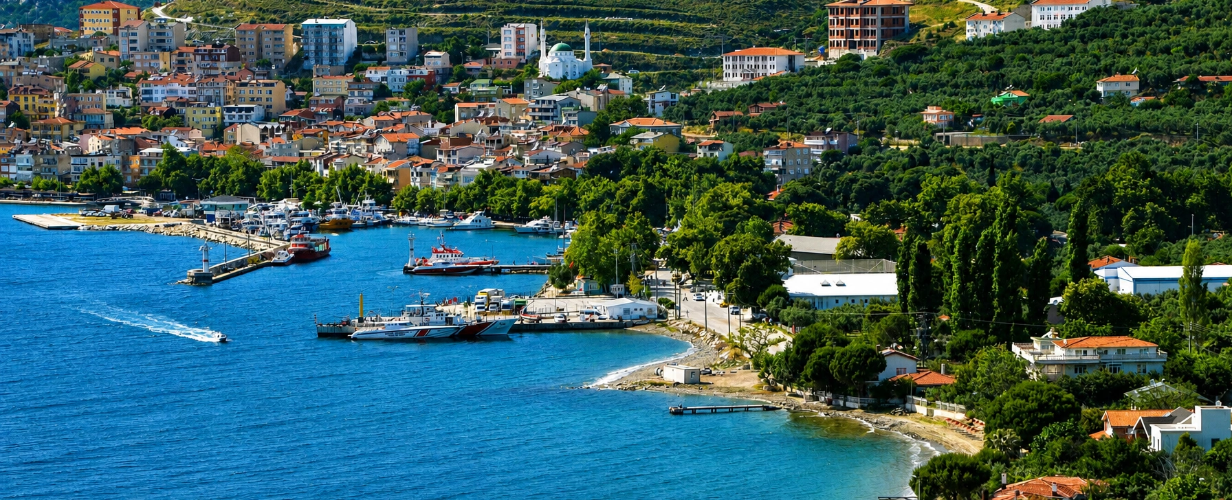
Continue across the historic sea routes of the Propontis to the island famous for marble quarrying and maritime heritage.
View Marmara Island Guide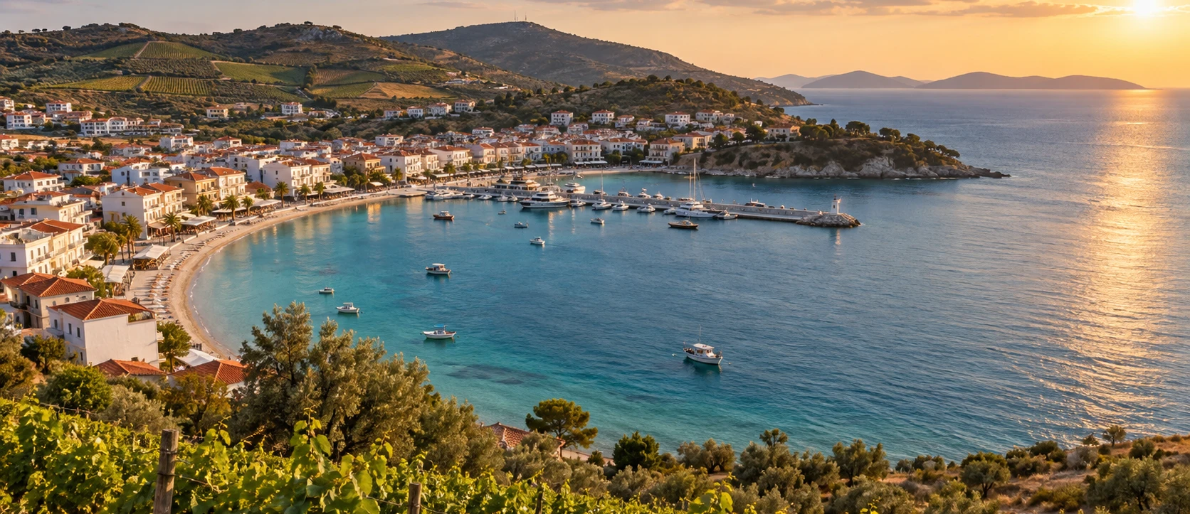
Add beaches, island villages and vineyard landscapes to a wider journey through the cultural geography of the Sea of Marmara.
View Avşa Island Guide