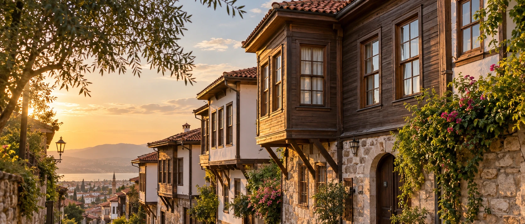
Balıkesir Historic Houses
Move from Balya's industrial ruins to traditional urban architecture and the historic neighbourhood character of the provincial capital.
View Balıkesir Historic Houses Guide





Balya is unlike most destinations in Balıkesir Province. Its story is not centred on a beach, an ancient city or a famous monument. Instead, the district developed around lead, zinc and silver-bearing ores, and for decades its mines shaped almost every part of local life: employment, migration, roads, electricity, housing, trade and the physical form of the town itself.
The landscape still carries that industrial memory. Around the former mine are stone-and-brick ruins, arches, chimneys, mine-related structures and traces of transport infrastructure from the period when large-scale mining transformed Balya into a busy company town. Historical research describes a place that once attracted workers from across the Ottoman Empire and included engineers, merchants and foreign communities alongside local residents.
Balya is also much more rural and green than its industrial reputation suggests. The district is largely hilly and mountainous, crossed by the Kocaçay and smaller streams, with forested slopes, grazing land, village roads and picnic landscapes. Dağ Ilıcası adds a geothermal element, while the restored school at Akbaş Village preserves a quieter story of Republican-era rural life.
This is a destination for travellers who enjoy places with layers: industrial archaeology, social history, forgotten infrastructure, rural landscapes and traces of dramatic economic change. Balya rewards curiosity, but the former mining areas also require caution because ruins are unstable and historic mine waste remains an environmental concern.
See the surviving industrial ruins that preserve the most powerful visual memory of Balya's mining era.
Discover how mining brought modern infrastructure, workers, engineers and rapid urban change to a small inland district.
Explore a rugged inland landscape of hills, streams, pasture, woodland and quiet village roads.
Combine mining heritage with Dağ Ilıcası, Kadıköy picnic scenery and Akbaş Village's ethnography collection.
Essential information for exploring one of Balıkesir's most distinctive industrial-heritage and rural districts.
Balya District, Balıkesir Province, in the hilly interior between Balıkesir, Manyas, Gönen, İvrindi, Havran and Yenice.
Balya lies roughly 50 km from Balıkesir city, making it practical as a half-day or full-day excursion by private vehicle.
Balya is best known for its long history of lead-zinc and silver-bearing mining and its surviving industrial ruins.
Large-scale modern mining developed in the late 19th century and continued until the mine's decline and closure around 1939–1940.
Balya became an official district in 1910, after mining-driven growth had greatly increased its importance.
The Kocaçay is the district's principal river, flowing through a wider system that ultimately reaches Lake Manyas.
Much of Balya is mountainous or strongly undulating, with forest, pasture, rural valleys and scattered villages.
Balya – Dağ Ilıcası is a recognised thermal area northeast of the district centre, with springs reported at 51–60°C.
The Akbaş Village Ethnography Museum occupies a restored stone school building constructed in 1929.
The registered Tabakhane Bridge on the Balya–Yenice route dates from the period of French mining activity.
Focus on industrial arches, brickwork, chimneys, forested ruins, village stonework and broad rural landscapes.
Allow half a day for the centre and mining landscape, or a full day with Akbaş, Kadıköy and thermal or village detours.
Balya offers something unusual in western Türkiye: the chance to explore the remains of a settlement whose modern identity was created by industrial extraction rather than tourism, agriculture or coastal trade. Mining did not simply provide employment here. It reshaped the population, changed local infrastructure and created a town whose fortunes rose and fell with the ore beneath it.
The surviving mine structures are the main reason many curious travellers come. Weathered masonry, brick-lined arches, chimneys and ruins appear against wooded hills, creating one of the most atmospheric industrial landscapes in Balıkesir. The experience is especially striking because nature has gradually grown back around structures once associated with smoke, machinery and intense labour.
Balya also opens a window onto Ottoman and early Republican labour history. Company investment brought electricity, transport infrastructure, housing and social facilities, but the mining period was also marked by dangerous working conditions, labour disputes and environmental damage. That combination makes Balya historically richer than a romanticised “abandoned town” narrative suggests.
Finally, the district is quiet. There are no crowds moving between ticketed attractions. Rural roads lead through villages, hills and streams, and the sense of discovery is part of the appeal. For travellers interested in industrial archaeology, photography, local history and less-visited corners of Türkiye, Balya can be one of the province's most memorable inland stops.
Balya lies in the northwestern interior of Balıkesir Province. Manyas and Gönen are to the north, Karesi / Balıkesir to the east, İvrindi to the south, and the districts of Yenice in Çanakkale Province and Havran lie to the west and southwest.
The district is often described as roughly 50 km from Balıkesir city. Its position gives it a very different character from the coastal districts around Edremit Bay or the open plains nearer the provincial capital. The roads rise and fall through an interior landscape where villages are separated by forest, pasture and broken terrain.
Municipal geographical information describes around 70% of the district as mountainous. The Konak, Ekizce and Akçal uplands shape the horizon, with Akçal Tepesi identified locally as one of the district's higher points. This terrain helps explain why stockbreeding and pasture have traditionally been important alongside limited areas of crop agriculture.
The principal river is the Kocaçay, which enters Balya from the İvrindi direction, receives local streams and continues toward the Lake Manyas system. Water, mineral geology and rugged topography are therefore central to understanding both Balya's industrial history and its present-day rural landscape.
Balya's history is inseparable from mining. Local and academic sources describe extraction in the area over very long periods, with lead and zinc deposits forming the economic reason for repeated settlement and activity around the district.
The decisive transformation came in the late Ottoman period, when foreign capital and mechanised mining expanded production. The Balya-Karaaydın mining enterprise developed a much larger industrial system around the ore: processing facilities, power supply, transport routes, worker accommodation and services all became part of the mining landscape.
This created the classic pattern of a boomtown. Employment attracted workers and specialists from different regions, while commercial and social life expanded around them. At its height, Balya was remembered as a remarkably lively place for such an inland district and was sometimes described in later memory as a “small Istanbul.”
When mining contracted and finally ceased, the logic that had driven the town's rapid growth disappeared. Population declined, buildings were abandoned or demolished, and the industrial zone gradually became a landscape of ruins. That rise-and-fall pattern is one of the keys to understanding Balya today.
Balya stands within the historical geography of Mysia, the ancient region that covered much of present-day Balıkesir and surrounding northwestern Anatolia. Local official histories mention Hellenistic and Roman settlement traces, tumuli and older remains around places such as Kadıköy, Pazarköy and Çırpılar.
Mining traditions are also described as very old. Local sources associate the area with Roman and Byzantine extraction, and the existence of mineral deposits clearly influenced later settlement. Whatever the exact continuity of individual workings, ore remained the defining resource of Balya into the Ottoman period.
Before the modern district developed, the settlement is recorded under the name Kocagümüş. As mining expanded, workers arrived from different parts of the empire, increasing the number of households and shifting administrative importance toward the mine settlement. Several explanations are given for the later name “Balya,” including associations with ore packaging and an Ottoman-era official named Bali Bey; the origin is not completely certain.
A municipal organisation was established in the late 19th century, and Balya became a district in 1910. The district was occupied during the Turkish War of Independence and was liberated on 6 September 1922, a date commemorated locally each year.
The old mining area is Balya's signature heritage landscape. Surviving structures include long stone walls, brick-trimmed arches, ruined industrial buildings, chimney elements and traces of the transport and processing systems that once served the mine.
These remains are visually dramatic precisely because they were designed for work rather than display. Repeating arches suggest large-scale processing or support structures, while ruined walls rising among pine trees show how quickly industrial architecture can become part of the surrounding landscape once production stops.
Modern large-scale operations are generally associated with the late 19th-century French-backed company that developed the Balya-Karaaydın mines. Municipal records note very high production in 1913, when the operation reached one of its peak output years. Production later declined, and the historic enterprise ceased around the end of the 1930s; academic histories record formal closure in 1940.
Visitors should treat the old mine as fragile industrial archaeology, not an unrestricted adventure playground. Do not enter tunnels, climb walls, cross barriers or walk over mine-waste deposits simply for photographs. Access conditions can change, and the safest experience is from legal roads, established paths and stable public viewpoints.
Balya's best-known industrial phase began when modern mining concessions and foreign capital transformed older workings into a mechanised operation. By the 1890s, the Balya-Karaaydın mining company had become the dominant economic force in the district.
The company required far more than shafts and furnaces. Electricity, workshops, transport systems, housing, health facilities and supply networks developed around production. Research into the period describes a narrow-gauge railway / dekovil system connected with moving materials toward the Edremit Gulf side, as well as power infrastructure linked with the mining operation.
The result was rapid urbanisation. Workers arrived from many parts of the Ottoman world, while foreign managers, engineers and specialists also lived in or around Balya. Different types of housing appeared, from worker accommodation to more elaborate residences, and the social life of the mining town became far more cosmopolitan than its remote inland location might suggest today.
Only fragments of that world survive physically. This is why Balya's ruins are most meaningful when viewed as pieces of a much larger lost system: mine, factory, power, transport, housing, labour and commerce all depended on one another.
Repeated arches are among the most recognisable features of the former industrial complex and create some of Balya's strongest photographs.
Surviving chimney elements recall the smelting and processing landscape that once produced heavy smoke over the valley.
Historic shafts and openings are part of the story but should never be entered without authorised professional access and proper safety controls.
Narrow-gauge transport infrastructure once connected parts of the mining system and helped move material through difficult terrain.
Historical research describes very different residential types linked to class and occupation; only limited examples survive today.
Road alignments, terraces, waste deposits and altered slopes can reveal industrial activity even where buildings have disappeared.
Industrial heritage can easily become a story only about machinery and architecture, but Balya is equally important as a place of labour history. The mine depended on large numbers of workers performing difficult and dangerous jobs underground and in processing areas.
Research on Balya documents labour disputes, strikes and demands for better wages and conditions, especially from the late Ottoman period into the early Republican years. Long working hours, mine accidents, unequal living standards and inadequate safety measures all appear in historical accounts of the industry.
At the same time, the mine created a culturally mixed settlement. Local Muslims lived alongside workers, merchants, technicians and managers from different ethnic and national backgrounds. Entertainment venues, coffeehouses, schools, places of worship and commercial activity developed around the expanding population.
Remembering this human dimension changes how the ruins are understood. The broken walls were once connected with people's wages, injuries, migrations, family lives, ambitions and conflicts. Balya is therefore not just an atmospheric ruin site; it is a landscape shaped by industrial modernisation and its social costs.
Balya's former mining district has been the subject of scientific research because historic lead-zinc extraction left behind mine waste, tailings and contaminated drainage. Studies have documented elevated concentrations of metals in parts of the mining environment and impacts associated with waste and water movement.
A 2024 peer-reviewed study evaluating Balya mine tailings and nearby soils found very high concentrations of several heavy metals in tailings and identified health-risk concerns, particularly in relation to lead and cadmium exposure. Earlier geological research also examined acid drainage and the movement of contaminants toward the Kocaçay system.
For visitors, the practical lesson is simple: admire the industrial heritage without treating mine waste as ordinary soil. Do not dig, collect stones or minerals from tailings, allow children to play on waste piles, eat while handling dusty material or enter drainage channels around the former mine.
Closed shoes are sensible, and hands should be washed after visiting dusty industrial areas. Keep to public or clearly used access routes, obey any barriers or official warnings and avoid entering abandoned structures whose stability has not been assessed.
The Kocaçay is the main river associated with Balya. Municipal geographical information describes it as entering the district from the İvrindi direction, receiving local streams and continuing northward toward the Lake Manyas drainage system.
The river helps explain both settlement and industry. Waterways provided routes through difficult terrain, supported rural life and became part of the environmental system affected by mining and mine waste.
Today, the Kocaçay landscape is best appreciated as part of a broader countryside drive rather than as a single formal attraction. Bridges, valley roads, agricultural areas and wooded sections offer different views depending on the route and season.
Avoid entering unknown watercourses near historic mine areas, particularly where drainage passes through old workings or waste zones. The river is part of Balya's natural story, but it is also connected with the district's long industrial legacy.
Around 5 km from Balya, the municipal Kadıköy recreation area lies beside the Kadıköy stream and offers a greener, quieter contrast to the former industrial landscape.
This is the kind of place best understood as a local mesire alanı: a countryside leisure area used for picnics, shade and time beside flowing water rather than a heavily developed tourist attraction.
Kadıköy is also interesting historically because local histories mention older remains in the area, including a castle site and a bridge associated in local tradition with the Roman period. Archaeological remains in rural settings may be poorly signposted or difficult to distinguish, so do not assume every stone feature is open or formally interpreted for visitors.
Conditions at picnic areas can change with season, maintenance, drought and fire restrictions. Carry out all rubbish, avoid open flames where prohibited and keep children supervised around streams and uneven ground.
Balya – Dağ Ilıcası is recognised in official regional information as a thermal tourism area. It lies approximately 25 km northeast of Balya town and roughly 15 km west of the Şamlı area on the Balıkesir side.
Official information reports spring temperatures ranging from approximately 51°C to 60°C. The hot water adds another geological dimension to a district already famous for its mineral resources.
Do not assume that every historic reference to the thermal area reflects today's exact facilities. Pool access, accommodation, bathing conditions, road quality and operating status can change, so confirm current arrangements locally before travelling specifically for a spa visit.
Traditional and tourism sources sometimes associate thermal waters with health benefits, but these statements should not be treated as guaranteed medical outcomes. Travellers with cardiovascular conditions, pregnancy or other health concerns should seek appropriate medical advice before prolonged bathing in hot water.
About 13 km from Balya, Akbaş Village offers one of the district's most appealing cultural detours. A historic stone school built in 1929 was restored and repurposed as an ethnography museum / gallery.
The building itself is part of the experience. Early Republican village schools were important symbols of education and state-building in rural Türkiye, and the reuse of this school preserves both architecture and community memory.
The ethnographic focus provides a useful counterpoint to Balya's mine. Instead of industrial machinery and foreign capital, Akbaş turns attention toward village life, local material culture, household memory and rural identity.
Small local museums can operate with limited or changing opening hours. If Akbaş is a priority, confirm access before making a dedicated drive and be respectful of the village setting around the museum.
The Tabakhane Bridge lies on the Balya–Yenice route and is one of the district's registered historic structures. Municipal information records its official heritage registration in 1993.
The bridge is associated with the period when the French-backed mining company operated in Balya. In that context it should be seen not as an isolated old bridge, but as part of the wider infrastructure that connected a major mining operation with surrounding routes and settlements.
Its survival helps visitors imagine the scale of movement required by the industry: workers, supplies, machinery, processed metal and everyday goods all depended on transport links through difficult inland terrain.
Roadside heritage should be visited carefully. Park only where it is legal and safe, do not block local traffic and avoid standing on narrow carriageways to take photographs.
Official local histories place Balya within ancient Mysia and mention settlement traces from Hellenistic and Roman periods as well as tumuli associated with older regional cultures.
Among the names preserved in local historical descriptions are Argiza near Pazarköy, Kadıköy Kale, remains around Çırpılar, Arı Mağarası and Ceneviz Mağarası. These references are valuable evidence of a deeper cultural landscape, but many are not developed archaeological visitor sites.
That distinction matters. Rural ruins may lack interpretation panels, formal paths, guardrails or clear boundaries, and some locations may lie on private, agricultural or difficult terrain. Do not enter caves or unstable remains simply because they appear in a local historical list.
For most travellers, Balya's strongest visible heritage remains the 19th- and early 20th-century mining landscape. The older archaeological traces are best treated as context unless current local guidance confirms safe, legal and practical access.
Walk through the compact district centre to see Balya as a living rural town rather than only an abandoned mining landscape.
Balya's central weekly market is traditionally held on Thursday; market days are useful for seeing the district at its most active.
Look for surviving traditional and early modern houses that hint at the town's former scale, while respecting private property.
From suitable public places, notice how the old industrial zone sits in relation to the modern settlement and surrounding hills.
Small groceries, bakeries, tea houses and local businesses provide a more authentic stop than expecting a purpose-built tourism district.
Local commemorations of Balya's liberation on 6 September form an important part of the district's civic historical identity.
Where viewing is safe and legal, repeating arches create strong depth and lead the eye through the industrial ruins.
Pine trees, shrubs and weathered masonry together communicate the decades that have passed since historic production ceased.
A longer focal length helps isolate architectural details from a safe distance without walking into unstable structures.
Morning, late afternoon and overcast conditions reveal texture in stone and brick better than harsh midday light.
Wide views showing ruins against wooded hills explain Balya better than close-up ruin photographs alone.
Never climb walls, enter shafts or cross mine waste merely to improve a composition; the site's physical and environmental hazards are real.
Fresh vegetation and cooler temperatures suit heritage exploration, although rain can leave unpaved rural approaches muddy.
One of the best periods for combining mine heritage, village roads, streams and the green inland landscape.
Dry weather can make driving easier, but exposed ruins become hot and summer fire restrictions may affect forest recreation.
Comfortable temperatures and local 6 September commemorations can add cultural interest to an early-autumn visit.
Autumn colour and softer light are excellent for photography, though shorter days require more careful route planning.
Atmospheric for photography but less predictable for rural exploration because rain, frost, fog and difficult road surfaces can occur.
Enough for a brief town stop and a careful exterior look at accessible parts of the historic mining landscape.
Ideal for the town, old mine views, Tabakhane Bridge and one easy countryside stop.
Add Akbaş Village, Kadıköy picnic scenery and Dağ Ilıcası or another rural route depending on current access.
Useful for photographers or slow travellers who want morning and late-afternoon light without rushing back to Balıkesir.
Combine Balya with Balıkesir city, Gönen, Manyas, Havran or the wider inland route toward the Edremit Gulf.
Industrial historians, researchers and photographers may want additional time, but any restricted mine access requires proper permission.
Children should never enter tunnels, shafts, unstable buildings or fenced industrial areas.
Do not let children dig in, sit on or play with mine-waste material around the historic mining zone.
The restored village school offers a calmer cultural stop that can help explain rural life and local history.
A picnic landscape is easier for families than spending too long around industrial ruins, subject to current facilities and conditions.
Kocaçay and smaller streams are natural waterways, not controlled play areas; keep young children close.
Bring water, snacks, sun protection and spare layers because village routes may have limited visitor services.
Balya is a working rural district rather than a purpose-built heritage destination, so accessibility varies considerably between the centre, village roads and historic sites.
A town-centre visit and roadside views of the mining landscape may be possible with limited walking, but many ruin areas have uneven ground, rubble, slopes, dust and unprotected edges. They should not be assumed to be wheelchair accessible.
Akbaş Village Museum occupies a historic building, and access arrangements may vary. Travellers needing step-free entry or accessible toilets should confirm directly before making the trip.
For visitors with limited mobility, the best approach is a vehicle-based heritage route: Balya centre, safe panoramic mine views, Tabakhane Bridge from an appropriate stopping point and selected village scenery rather than walking deep into unprepared terrain.
Balya is approximately 50 km from Balıkesir city; allow additional time for winding sections and local road conditions.
Approaching from the south allows Balya to fit naturally into an inland route toward Havran and the Edremit Gulf.
Northern routes connect Balya with the rural landscapes and thermal or wetland destinations of southern Marmara.
The western road creates a scenic inland connection with Çanakkale Province; check current road conditions before relying on minor routes.
The most practical option if you want to combine Balya centre with the mine, Akbaş, Kadıköy and Dağ Ilıcası.
Regional bus or minibus services may operate, but schedules and village connections can be limited; confirm current departures locally.
Local accommodation can be limited; check current guesthouse or small-hotel availability before assuming an overnight option.
The most practical base for many visitors, with broader hotel choice and an easy drive to Balya for a day trip.
Useful for travellers combining Balya's industrial heritage with a more established thermal-town stay to the north.
A good alternative if Balya is part of a route between inland Balıkesir and the Edremit Gulf or Kazdağları region.
Convenient geographically for an inland route, though accommodation choice may be smaller than in Balıkesir or Edremit.
Do not rely on older references to Dağ Ilıcası accommodation; verify current facilities and operating status before planning an overnight.
Do not remove bricks, stones, metal fragments, minerals or other objects from historic mining areas. Even apparently loose material forms part of the archaeological and industrial record, and mine waste may also contain hazardous metals.
Avoid abandoned shafts, adits, tunnels and unstable interiors. Historic mine workings can collapse, contain poor air, collect dangerous water or open into vertical voids. A dramatic entrance is not an invitation to explore underground.
Keep away from tailings and discoloured drainage, and do not allow children or pets to play in industrial waste areas. Scientific studies have documented heavy-metal contamination associated with the old mine landscape.
In villages and rural areas, respect private property, livestock, agricultural work and local traffic. Park carefully, ask before photographing people at close range and leave picnic places cleaner than you found them.
Balya works especially well as a contrasting stop within an inland Balıkesir itinerary. The district's industrial ruins feel very different from the Ottoman civic architecture and museums of Balıkesir city, making the two destinations complementary rather than repetitive.
Nature travellers can continue toward Değirmen Boğazı Nature Park or north toward Lake Manyas & Bird Paradise National Park. These stops exchange Balya's mining valleys for forest recreation and internationally important wetland habitat.
For thermal heritage, Gönen provides a larger spa-town experience and a museum connection. Balya's Dağ Ilıcası can then be understood as part of Balıkesir's broader geothermal geography rather than as an isolated spring.
Travellers interested in regional archaeology can also connect Balya with Daskyleion Ancient City. Together, the sites reveal very different periods of the province's history: ancient political landscapes, Ottoman and Republican mining, and modern rural life.
Pair Balya's industrial archaeology with restored urban architecture and the historic neighbourhood character of the provincial capital.
Add the political and military history of Balıkesir to a route that already includes Balya's labour and industrial past.
Balance ruined mine architecture with an easier forest and picnic landscape near Balıkesir city.
Continue north for a deeper thermal experience and archaeological material associated with one of Balıkesir's best-known spa towns.
Move from Balya's hills and mine valleys into wetlands, birdwatching and the ecological landscapes of southern Marmara.
Add one of the region's major archaeological sites for a journey spanning ancient Mysia to modern industrial heritage.
The mine, Akbaş, Kadıköy and Dağ Ilıcası are spread across the district, making a private vehicle the most flexible choice.
Abandoned underground workings can be unstable and dangerous even when an entrance appears open.
Historic mine waste has documented heavy-metal contamination; do not treat it like ordinary hiking terrain.
Rubble, broken masonry, sharp metal, dust and uneven ground make sturdy footwear a better choice than sandals.
Services become sparse outside the town centre, particularly on village and thermal routes.
Mobile coverage can be inconsistent in rural terrain; save your route before leaving the main roads.
Confirm current opening arrangements before travelling specifically to the Akbaş Village Ethnography Museum.
Current bathing, pool and accommodation services at Dağ Ilıcası may differ from older tourism information.
Rain can quickly change unpaved rural roads and make ruin areas muddy and slippery.
Mining landscapes can include active work, private land or newly restricted zones; never assume past access still applies.
Plan remote stops early enough to avoid navigating unfamiliar village and mountain roads after dark.
Balya becomes much more meaningful when you understand how mining shaped its workers, population, transport and environment.
Balya matters because industrial history is part of cultural heritage too. The town shows how a mineral deposit could transform a remote inland settlement into a place connected with international capital, modern machinery, electricity, transport infrastructure and mass labour.
The ruins also challenge a simple story of progress. Mining brought jobs and infrastructure, but historical records describe accidents, inequality, labour conflict and severe environmental impacts. The same industry that built the town also left difficult legacies after production ended.
That complexity makes Balya valuable. Its industrial remains, village museums, bridges, rivers and thermal landscape allow travellers to see history not as a collection of isolated monuments, but as a system connecting geology, technology, labour, migration, environment and everyday life.
For visitors willing to move beyond Türkiye's best-known archaeological and coastal destinations, Balya offers a powerful reminder that modern history can be just as dramatic as antiquity — and sometimes far more fragile.
Balya is an inland district of Balıkesir Province in northwestern Türkiye, roughly 50 km from Balıkesir city.
Balya is best known for its historic lead-zinc mining industry and the atmospheric industrial ruins left from the large-scale mining period.
Rich mineral deposits attracted investment, workers and infrastructure, turning a relatively remote settlement into a major mining town in the late Ottoman and early Republican periods.
Large-scale mechanised mining developed in the late 19th century, with the French-backed Balya-Karaaydın enterprise becoming central to the district's economy.
The major historic operation declined and ceased around 1939–1940; academic histories record formal closure in February 1940.
The district is especially associated with lead and zinc ores, including silver-bearing lead, alongside other mineral occurrences in the wider area.
Parts of the industrial landscape can be viewed from accessible areas, but conditions vary. Respect current restrictions, private property and any barriers.
No. Abandoned mine tunnels and shafts can collapse, contain poor air, dangerous water or hidden vertical drops and should not be entered without authorised specialist access.
No. Historic walls and arches may be unstable. View and photograph them from stable ground rather than climbing masonry.
Yes. Scientific studies have documented heavy-metal contamination associated with historic Balya mine tailings and drainage, so avoid handling or playing in mine-waste material.
It was the major foreign-backed mining enterprise associated with the industrial development of Balya in the late Ottoman period and early 20th century.
Greatly. Mining brought workers, engineers, electricity, transport infrastructure, housing, health facilities, shops and rapid population growth.
Historical memory uses the phrase to describe the unusually busy, diverse and cosmopolitan social life that developed during the mining boom.
Yes. Historical research documents strikes, labour organisation, unsafe conditions, wage disputes and worker activism associated with the mining industry.
Balya became a district in 1910.
The district commemorates its liberation on 6 September 1922.
Local official histories record the settlement as Kocagümüş before the modern name Balya became established.
No. Local histories preserve more than one explanation, including a connection with ore packaging and another with an Ottoman-era official named Bali Bey.
Yes. Official local histories mention Hellenistic and Roman traces, tumuli, castle remains, caves and older settlement locations, although many are not developed visitor sites.
Kocaçay is Balya's principal river and forms part of the wider drainage system that ultimately reaches the Lake Manyas basin.
It is a local recreation area around 5 km from Balya beside Kadıköy stream, useful for a green break during a district visit.
Yes. Balya – Dağ Ilıcası is an officially recognised thermal area northeast of Balya.
Official regional information reports source temperatures of approximately 51–60°C.
It is a restored stone village school built in 1929 and repurposed to preserve ethnographic material and local rural memory.
Municipal information places Akbaş Village at approximately 13 km from the district centre.
It is a registered historic bridge on the Balya–Yenice route associated with the period of French mining activity.
Municipal market information lists the central Balya market on Thursday. Local schedules can change, so confirm if the market is an important part of your visit.
Allow a half day for the centre and mine landscape, or a full day if adding Akbaş Village, Kadıköy and a thermal or countryside detour.
Spring and autumn are especially good for combining comfortable temperatures, green or colourful scenery and industrial-heritage photography.
Yes with careful planning, but mine areas require strict supervision. Keep children away from tunnels, unstable ruins, tailings and drainage channels.
The town centre is easier than the old mine. Ruin areas often have rubble, slopes and unprepared ground, so a vehicle-based visit is usually more practical for limited mobility.
Yes. Its roughly 50 km distance makes Balya a practical day trip, especially with a private vehicle.
Good pairings include Balıkesir city, Gönen, Lake Manyas, Değirmen Boğazı and Daskyleion.
For a first visit, see the historic mining landscape from safe public access points and take time to understand how the mine transformed Balya's population, economy and environment.
Build a wider Balıkesir journey that connects Balya's mining heritage with historic architecture, national history, forests, wetlands, thermal towns and archaeology.
Continue from Balya toward Balıkesir city, Gönen, Manyas and some of the province's most rewarding inland heritage landscapes.
Move from Balya's industrial ruins to traditional urban architecture and the historic neighbourhood character of the provincial capital.
View Balıkesir Historic Houses Guide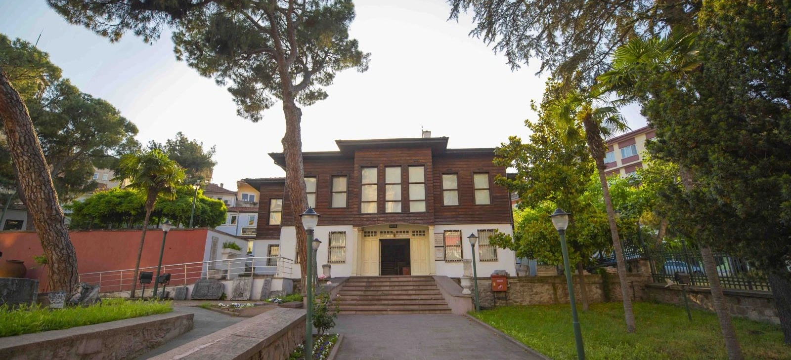
Add the national-struggle history of Balıkesir to Balya's stories of mining, labour and early Republican transformation.
View Kuvayi Milliye Museum Guide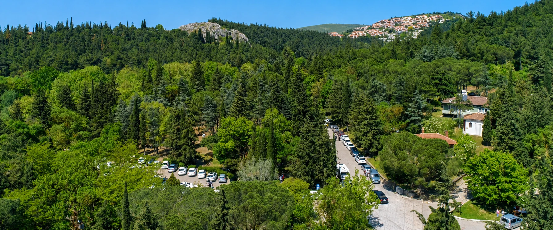
Balance Balya's rugged industrial heritage with an easier forest, picnic and nature stop close to Balıkesir city.
View Değirmen Boğazı Guide
Continue north for a more developed thermal experience and a museum stop that adds another layer to inland Balıkesir.
View Gönen Guide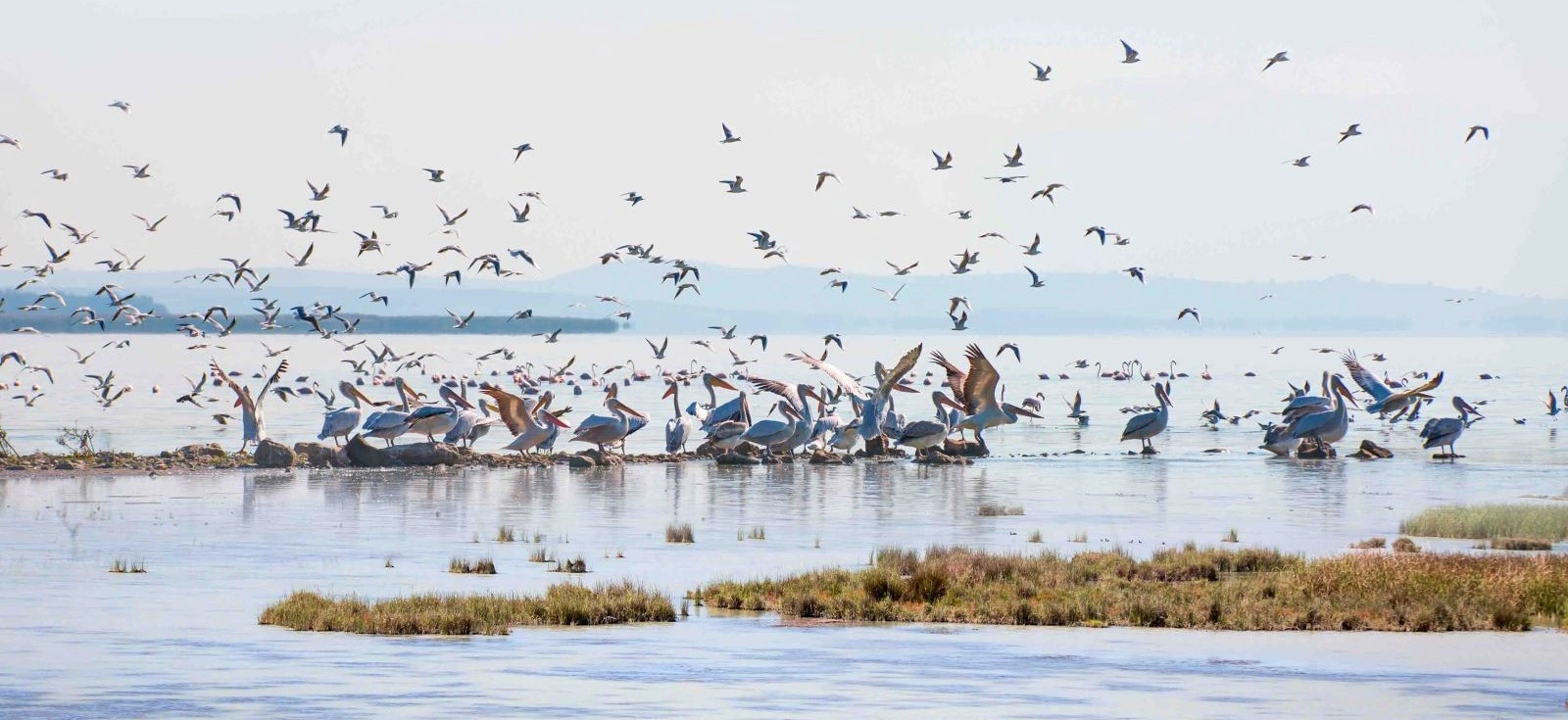
Follow the wider Kocaçay–Manyas landscape northward to internationally important wetlands and rich birdlife.
View Lake Manyas Guide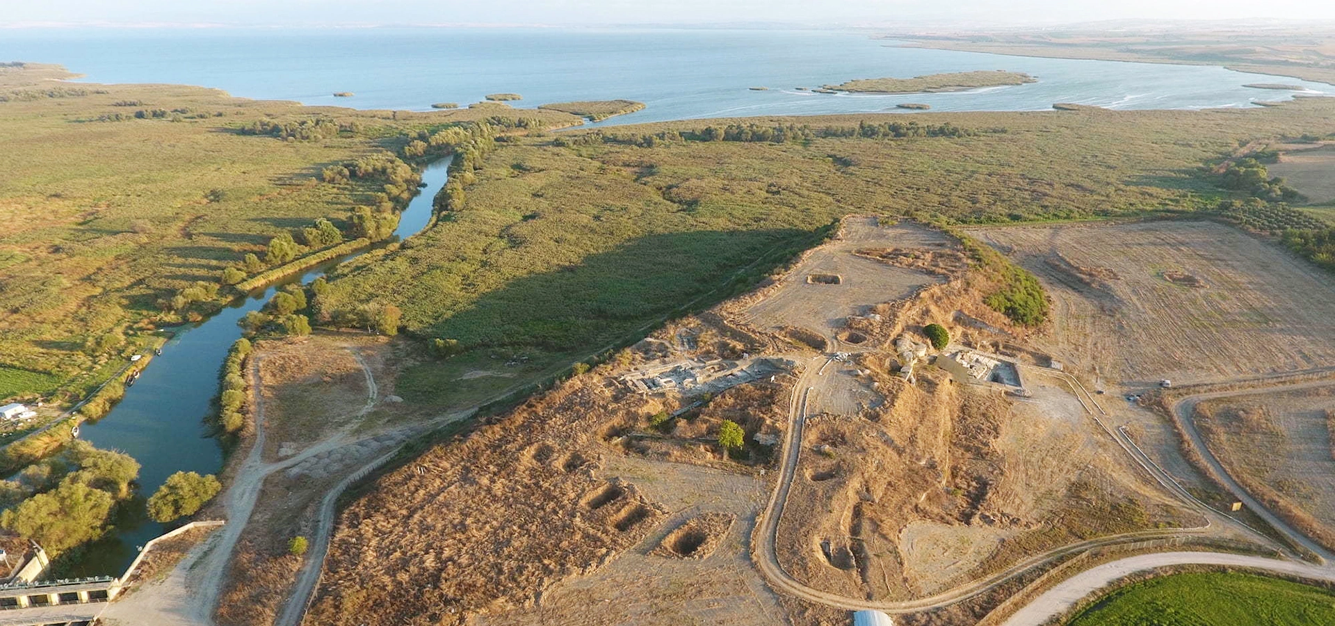
Extend the historical timeline from Balya's industrial age back into the ancient political and cultural landscape of Mysia.
View Daskyleion Guide