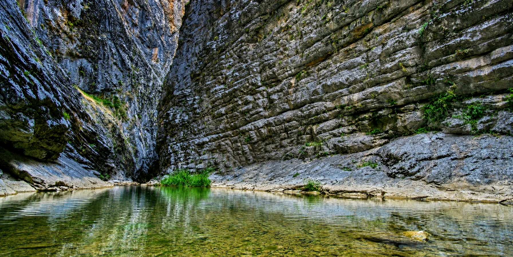
Tokalı Canyon
Learn about the striking gorge and the difference between scenic viewing and specialist canyoning.
Explore Tokalı Canyon





Akdağ National Park (Akdağ Millî Parkı) spreads across the mountain country between Çivril in Denizli Province and Sandıklı in Afyonkarahisar Province. Here, forests of Anatolian black pine give way to open yaylas (highland pastures), rocky slopes, cool streams and scenic valleys. The region is particularly admired for its free-roaming horses, red deer, birds of prey and distinctive mountain atmosphere.
Many maps, municipal pages and older travel guides still call the destination Akdağ Tabiat Parkı (Akdağ Nature Park). That was its official designation from 2000 until 18 January 2024, when it was declared Türkiye’s 49th national park. The Ministry of Agriculture and Forestry gives its expanded protected area as approximately 15,933 hectares. Both names refer to the same broader Akdağ destination, but Akdağ National Park is the current status.
Some parts of the park are suited to relaxed countryside excursions, designated recreation areas and nature photography; other parts are remote or ecologically sensitive. The famous Tokalı Canyon, in particular, is not an ordinary walking trail. This guide explains the landscapes, wildlife, access options, visitor facilities and practical precautions for planning a responsible visit.
Current national park area in official Ministry information.
Formerly Akdağ Nature Park, designated in 2000.
Black pine, red deer, free-roaming horses and raptors.
Approaches from Çivril and Sandıklı lead to different areas.
Key information on official status, wildlife, routes, access and the difference between developed recreation zones and wild mountain terrain.
Çivril (Denizli) and Sandıklı (Afyonkarahisar), western Türkiye.
Akdağ National Park (Akdağ Millî Parkı).
18 January 2024; originally protected as a nature park in 2000.
Approximately 15,933 hectares under the 2024 designation.
Black-pine woodland, valleys, plateaus and mountain grasslands.
Free-roaming yılkı horses and red deer.
Important habitat for vultures and other birds of prey.
Kocayayla and other upland pasture landscapes.
Tokalı Canyon, with a difficult technical inner gorge.
Different road approaches from Çivril or Sandıklı; confirm destination.
Developed day-use areas and cottages at selected locations.
Check the current official tariff, gate hours and area-specific rules.
Unlike the white terraces of Pamukkale or Denizli’s agricultural plains, Akdağ is a landscape of mountain woodland, wide grassy clearings and quiet valleys. It rewards visitors who prefer unhurried natural scenery, fresh air and a sense of wilderness.
The park combines several experiences within one protected mountain system: wildlife watching, scenic photography, approved walking routes, picnicking in developed day-use areas and cultural encounters with the long-standing yayla tradition. The famous Tokalı Canyon adds geological drama, though its confined passages demand specialist expertise.
Akdağ works especially well as a purposeful nature excursion, with an itinerary built around one reachable entrance and a few accessible highlights rather than an attempt to see every corner of the national park in a single day.
Broad meadows and mountain views.
Black-pine stands and wooded valleys.
Possibilities for horses, deer and birds.
A refreshing change from city sightseeing.
Forests, slopes and changing light.
A protected landscape best enjoyed respectfully.
Akdağ lies on the border of Denizli and Afyonkarahisar provinces. The Denizli side belongs to Çivril district, while the Afyonkarahisar side is associated with Sandıklı. The park is a broad mountain landscape rather than one single viewpoint or roadside attraction.
Older Çivril municipal material refers to the park area as approximately 18 km from Çivril. The national park directory gives an approach of roughly 35–36 km from Sandıklı. These figures refer to particular approaches and should not be interpreted as distances to every meadow, visitor facility or canyon entrance.
Before setting off, confirm whether your destination is the Çivril-side entrance, Sandıklı-side developed area, Kocayayla, Sığırkuyruğu or another permitted location. The two sides can have very different driving routes, road quality and service availability.
Çivril district.
Sandıklı district.
Mountains between large agricultural basins.
About 18 km to a park approach in older local information.
About 35–36 km to an approach in official information.
Choose a specific authorised entry point.
Both names appear online because Akdağ changed status. The area was first declared Akdağ Tabiat Parkı (Nature Park) on 29 June 2000. A presidential decision published in the Official Gazette on 18 January 2024 designated the expanded area Akdağ Millî Parkı (Akdağ National Park).
The Ministry of Agriculture and Forestry identifies Akdağ as Türkiye’s 49th national park and gives the enlarged area as 15,933 hectares. Some older municipal pages, tourism listings, signs and hiking tracks still preserve the historic name and earlier figures.
When researching directions or historic reports, it is useful to search for Akdağ Tabiat Parkı as well as Akdağ Milli Parkı. For present-day rules, however, prioritise current information from the national park authority over pre-2024 visitor descriptions.
Nature park, established in 2000.
National park, since 18 January 2024.
49th national park when designated.
15,933 hectares in Ministry announcements.
Akdağ Tabiat Parkı.
Akdağ Millî Parkı.
The national park’s officially reported 15,933 hectares cover a rich range of upland environments. The natural sequence includes black-pine mountain woodland, upper forest margins, subalpine transitions, higher rocky ground, plateaus and valleys.
Akdağ’s beauty comes from that variation. Within one broad landscape, visitors can encounter a shaded forest road, an open pasture edged by trees, a narrow stream corridor or a striking overlook toward distant ridgelines.
The park’s physical size also means it is misleading to treat the entire protected area as if it were a single managed picnic site. Roads, visitor amenities and permissions vary widely between developed use zones and sensitive conservation terrain.
Approximately 159 square kilometres.
Mountain black pine.
Open and transitional upland habitats.
Streams and sheltered mountain corridors.
Yaylas and grassy clearings.
Different sections need different access plans.
The surrounding Anatolian black-pine forests are a defining part of the Akdağ experience. Their dark green stands contrast beautifully with pale rock, highland grasses and the changing colours of the seasons.
According to regional conservation descriptions, the protected landscape includes forest, forest-limit transition and higher mountain ecosystems. This creates varied habitat for large mammals and birds as well as plant communities adapted to changes in elevation.
Enjoy forest roads and marked paths only where visitor use is allowed. Avoid shortcuts through regeneration areas, never damage young trees and pay close attention to fire restrictions, particularly during dry, windy months.
Anatolian black pine.
Forest to upper-mountain habitat.
Use approved tracks and signs.
Protect young trees and ground vegetation.
Follow seasonal restrictions.
Beautiful light through pine stands.
Akdağ is more than an attractive forest destination: it is a botanically valuable transition landscape. Çivril Municipality’s nature description mentions a notable yew (Taxus baccata) community northwest of Obruk Yaylası.
The same municipal account identifies Barbarea hedgeana and Polygonum afyonicum among plants scientifically recorded from the area. These details illustrate the conservation importance of its varied upper mountain and woodland habitats.
Plants should be observed, photographed and left undisturbed. Do not collect seeds, flowers, branches or samples, and do not attempt to locate sensitive communities off-trail without the appropriate permissions and expert guidance.
Taxus baccata in a locally documented stand.
Barbarea hedgeana.
Polygonum afyonicum.
Species adapted to varied elevations.
No unauthorised collecting.
Observe and photograph respectfully.
The national park is internationally interesting to nature enthusiasts because of its large mammals and birds of prey. Official conservation descriptions repeatedly highlight red deer, free-roaming horses, vultures and other woodland or mountain wildlife.
Wild animals do not follow a visitor timetable. They may be hidden in dense forest, resting in quiet areas or moving across distant highland slopes, so sightings can never be guaranteed. A respectful observation experience often means spending more time quietly watching from a safe distance rather than chasing animals.
Keep wildlife wild: never feed, touch, follow, corner or block animals. Avoid nesting places and sensitive habitats; use binoculars or a telephoto lens to obtain a better view.
Red deer in protected habitats.
Free-roaming yılkı herds.
Vultures and eagles.
Forest mammals and smaller species.
Unpredictable and seasonal.
Distance, quiet and no feeding.
One of Akdağ’s most memorable images is a group of yılkı horses moving freely through a meadow with mountains and black-pine forest in the background. These free-ranging horses have become a signature subject in the national park’s landscape photography.
Visitors occasionally hope to see horses near open pastures, but their location and behaviour can change quickly. They are not a scheduled attraction or a riding service. Viewing them respectfully from afar is better for both the animals and the visitor.
Do not approach foals, attempt selfies, offer food or drive a vehicle toward a herd. If animals are nearby, leave them a clear escape route and follow any instructions issued by park personnel.
Yılkı atları.
Open highland pastures.
Binoculars or a telephoto lens.
Keep a generous distance.
Feeding, chasing or touching.
Sightings depend on animal movement.
Red deer are among Akdağ’s most important protected wildlife resources. They use woodland and quieter mountain habitats, and may be difficult to observe even during a long stay.
The presence of deer is a reason for responsible driving and low-noise recreation. Deer may move unexpectedly near rural and forest roads, especially when visibility is limited. Slowing down and keeping to designated routes protects animals as well as visitors.
Sightings should never be created by baiting or disturbing wildlife. A local nature specialist who understands designated viewing areas can help visitors appreciate the landscape without entering sensitive zones.
Red deer.
Quiet forest and woodland edges.
Patient observation at distance.
Drive carefully.
Use longer focal lengths.
No baiting or harassment.
Official Ministry and municipal descriptions identify Akdağ as an important habitat for birds of prey. Species mentioned in regional accounts include bearded vulture, griffon vulture, cinereous (black) vulture and several eagle species.
The open mountain air, ridgelines and remote cliffs create attractive conditions for birdwatching. However, an official regional species list does not mean each bird can be found reliably at a public viewpoint or during any particular season.
Bring binoculars, avoid loud behaviour and keep well clear of nests or restricted cliffs. Drone flights are particularly disruptive near breeding birds and may require authorisation or be prohibited in protected areas.
Named in official regional accounts.
A notable mountain raptor.
Known locally as kara akbaba.
Several species are reported.
Binoculars and field guide.
Never approach nesting cliffs.
Kocayayla is one of the most recognisable highland names associated with Akdağ. Wide pasture areas, wooded slopes and watercourses make it a striking place to understand why the area has long been valued for mountain recreation.
The highland is also a reference point in historical descriptions of the upper side of Tokalı Canyon. That does not make Kocayayla a suitable starting point for an unplanned canyon crossing.
For a relaxed day, focus on permitted meadow and day-use areas, short walks appropriate to current weather, and landscape photography. Verify final road access, grazing activity and any protected-zone restrictions before departure.
Open meadows surrounded by forest.
Local upland stream scenery.
Seasonal yayla culture.
Forest-and-grassland contrasts.
Check permitted day-use zones.
Upper regional reference, not casual entry.
Sığırkuyruğu Yaylası is another highland locality named by Çivril Municipality and conservation sources in relation to Akdağ. Like Kocayayla, it reflects the area’s connection with traditional mountain grazing and seasonal life.
Pasture landscapes are not empty spaces: they may support animals, herders, native plants and important wildlife corridors. Visitors should respect local land use, gates and restrictions and should not drive over grasslands or stop where roads obstruct agricultural activity.
Because different highland routes may involve rough forest roads or seasonal limitations, plan around an accessible destination, rather than assuming all named yaylas are linked by ordinary roads suitable for a low-clearance car.
Sığırkuyruğu Yaylası.
Open pasture and mountain scenery.
Seasonal highland use.
May change with weather and maintenance.
Give livestock and herders space.
Confirm the chosen access road.
One of Akdağ’s best-known natural features is Tokalı Canyon (Tokalı Kanyonu), a remarkable water-carved gorge associated with Kocayayla at its upper end and Gümüşsu / Homa toward the Çivril side.
The canyon’s dramatic narrow passage is very different from an easy national-park nature trail. Official descriptions recount rock scrambling, climbing, cold water and swimming during historical crossings. Sudden changes in stream conditions can create severe risks.
Do not enter the technical inner gorge independently. Enjoy the surrounding landscape from lawful, safe places, or consider any technical expedition only with appropriately qualified canyon specialists, current risk assessment and verified permissions.
Tokalı Canyon.
Deep, narrow stream-cut gorge.
Kocayayla.
Gümüşsu / Homa.
Confined water passages and rock obstacles.
Separate specialist planning for traverses.
Akdağ’s protected landscape also includes Karanlıkdere Valley and smaller stream corridors. These valleys help create the natural contrast between open highlands and sheltered, water-shaped terrain.
Water and shade can encourage varied vegetation and wildlife activity, but remote stream valleys are not automatically safe places to walk. Seasonal flow, slippery rock, unstable banks and unfamiliar tracks can complicate access.
Any valley outing should use a confirmed trail or legal viewpoint appropriate to the group. Do not follow a stream deeper into difficult terrain just because a digital map appears to show a continuous route.
Karanlıkdere.
Wooded slopes and watercourses.
Different habitats from open pastures.
Varies and may be unmarked.
Stay clear of unsafe crossings.
Verify the permitted route first.
Akdağ is associated with nature walking, trekking and mountain exploration, but there is no single difficulty level for the entire park. A short walk near an established day-use area is quite different from an upland ridge route or a technical canyon crossing.
Choose a route according to fitness, daylight, navigation ability, weather and conservation rules. Even relatively simple forest tracks can become confusing at junctions, while higher paths may have steep ground, loose stones or changing visibility.
For self-guided sightseeing, favour officially indicated, maintained routes. For long or remote routes, use suitable local expertise and a reliable return plan. Never assume a social-media hiking track establishes legal access.
Short walk in designated recreation areas.
Requires route confirmation and preparation.
Carry offline maps and a power reserve.
Sturdy walking shoes.
Conditions change quickly at altitude.
A separate specialist activity.
Official destination listings describe potential for mountain biking, horseback routes, photography, birdwatching and other forms of outdoor recreation. Not every activity or track is available in every section or season.
Some paths and roads may be shared by walkers, cyclists, permitted vehicles and local herders. Travel slowly, yield appropriately and avoid shortcuts that widen tracks or damage plants. Do not assume bikes, horses or equipment are available for rent without confirming an actual provider.
Activities such as cave visits, fishing or canyoning can involve extra safety or permit requirements. Discuss these separately with the relevant authority or qualified local operator rather than treating them as unrestricted features of a standard day trip.
On suitable, permitted routes.
Where authorised and offered.
Quiet observation from suitable areas.
Meadows, trees and distant ridges.
Only verified safe, lawful access.
May apply to specialised activities.
Developed sections of Akdağ have been designed for day visitors. Official descriptions list recreation infrastructure, including picnic and sitting areas at selected locations. These can make the national park appealing to visitors who prefer a relaxed outdoor day.
Facilities are not spread evenly throughout the whole protected area. Verify the exact day-use location, access restrictions, rubbish arrangements and whether a venue is operating on the day of your visit.
Open flames and barbecues must never be assumed to be permitted. Forest fire rules can change seasonally. A responsible picnic leaves no rubbish, food scraps or disturbance to wildlife.
Selected developed locations.
Reported in developed areas.
Bring essentials unless service is confirmed.
Subject to current fire regulations.
Take everything away.
Leave before unsafe darkness or road conditions.
Akdağ’s official tourism information mentions camping possibilities, caravan use and countryside cottages in specific developed sections. The nature-tourism directory reports ten countryside houses and distinguishes planned facilities from areas where infrastructure is limited.
It is important to separate the existence of a facility from its current operational status, booking availability or permission to stay overnight. An approved campsite on a plan does not necessarily mean a serviced pitch or active reservation system.
Before arriving with a tent, caravan or overnight group, confirm authorised camping zones, fees, water supply, waste disposal, fires, vehicle access and accommodation arrangements directly with the park administration or current operator.
Ten units listed in official park data.
Confirm the approved and operating site.
Check infrastructure and access.
Not assumed or guaranteed.
Authority confirmation essential.
Protect the setting and wildlife.
The official park directory lists facilities including day-use areas, countryside houses, children’s play areas, a rural restaurant, local-product units, prayer facilities and toilets. These are associated with developed visitor sections, particularly those described around Sandıklı-side use areas.
The park is extensive, and no claim about facilities should be extended to every entrance, trail, yayla or canyon. Opening, maintenance and concession arrangements can change, and a listed facility may not be available during a particular visit.
Carry drinking water, food, suitable clothing and basic first aid unless your chosen venue and its opening status are confirmed. For visitors with accessibility needs, request details for the exact proposed parking area and path.
Listed at developed locations.
A rural restaurant is recorded; verify opening.
Reported in selected day-use zones.
Officially listed; contact management.
Do not expect facilities.
Confirm individual sites and pathways.
For a Denizli-side visit, plan the drive toward Çivril and confirm the appropriate local park entrance or recreation area. Older municipal information gives a reference distance of approximately 18 km from Çivril to the park area, but the park contains many destinations beyond that.
For the Afyonkarahisar / Sandıklı side, the national park directory describes approaches via Sorkun, Menteş and surrounding forest roads, with the broader park around 35–36 km from Sandıklı depending on route.
Check the final road surface, local restrictions and driving conditions rather than relying on a generic park centre pin. Remote forest roads can be very different from paved roads, especially after heavy rain or during winter.
Travel to Çivril, then use a confirmed park entrance.
Local route to a specific national-park sector.
Approach via documented Sorkun/Menteş routes.
A separate extended excursion.
Match the final road to your vehicle.
Confirm parking, access and return route.
You may be able to reach Çivril or Sandıklı by regional public transport, but that is not the same as having a practical connection to your chosen national-park entrance. The protected area is large and many natural highlights are far from routine local services.
No reliable, park-wide visitor shuttle with a verified timetable has been established in the sources used for this guide. A traveller without a car should therefore confirm local onward transport and a return arrangement before leaving town.
For sightseeing, a pre-arranged private vehicle can be the most flexible option, provided the driver knows which access point is intended. Remote trekking or specialist canyoning needs separate route and transport planning.
Çivril or Sandıklı where services operate.
Must be confirmed locally.
No verified comprehensive public service.
Arrange before entering remote areas.
Flexible when road conditions permit.
May require separate transport logistics.
Late spring through early autumn is generally appealing for scenic highland visits, as meadows, forests and day-use settings can be more comfortable. That is a general travel preference, not a guarantee of open roads, dry paths or safe conditions.
Spring may bring lush greenery and cool temperatures, while summer offers long daylight hours but can bring strong sun and heightened fire restrictions. Autumn may offer appealing woodland colours and quieter landscapes, though the days shorten.
Winter and shoulder seasons may involve snow, ice, fog and difficult forest-road access. Check the current weather, recent precipitation and official park notices for the specific entrance and activity.
Fresh growth; watch rain and mud.
Longer days; sun and fire precautions.
Cooler air and changing colours.
Snow, ice and potential road limits.
Confirm forecast and access.
Choose a lower-risk nearby destination if needed.
The Ministry’s nature-tourism listing for Akdağ shows a reference visiting period of 08:30–17:30. Sandıklı Municipality describes the destination as accessible for visits on seven days of the week. Neither statement establishes that every remote gate, trail or overnight facility is available at all hours.
The General Directorate of Nature Conservation and National Parks publishes 2026 protected-area fee schedules for categories such as visitors and vehicles. The amount that applies to a particular entrance, vehicle type, overnight stay or activity should be confirmed from the current official tariff and the park administration; this guide does not invent a single universal charge.
For arrangements involving groups, commercial photography, organised outdoor activities, camping or sensitive-area access, ask about any separate permit or fee. A national park is protected land, not unrestricted open countryside.
08:30–17:30 in the official nature-tourism listing.
Municipality describes seven-day visiting.
Consult the 2026 official fee tables.
Tariff may differ by vehicle class.
Check separate facilities and charges.
Confirm current access and permissions.
Akdağ can offer a wonderful family nature outing when the plan centres on an established recreation area, gentle forest scenery or a safely accessible meadow. With children, choose short routes, bring enough water and keep a close watch near water, roads and slopes.
Older travellers may particularly enjoy a vehicle-supported panoramic visit with stops at accessible locations, rather than a strenuous hike. The park also has more challenging mountain terrain that may be unsuitable for visitors who need firm, level walking surfaces.
Wheelchair and stroller accessibility cannot be assumed across the park. Ask the operator or park authority about parking, gradients, surfacing, toilet access and distances at the exact intended day-use area.
Prefer established, safe recreation areas.
Supervise near water and roads.
Consider short scenic stops.
Check the surface before travelling.
Confirm exact access arrangements.
Technical canyon and unsupported routes.
From a photography perspective, Akdağ offers quiet forest compositions, open meadow landscapes, distant rocky ridges and—when fortune allows—free-roaming horses or birds of prey. Natural light can change quickly as clouds move across the uplands.
For wildlife, choose binoculars or a telephoto lens instead of closing the distance. Do not stage scenes by feeding animals, entering restricted habitats or driving off-track. A compelling landscape image does not require an animal to appear in the foreground.
Drone operators should check Turkish aviation requirements and national-park-specific permissions, particularly near sensitive bird habitats. For your website’s hero image, use a photograph genuinely taken in Akdağ and keep the principal landscape subject near the centre for mobile cropping.
Pines, pastures and mountain lines.
Observe with a long lens.
Early or late light can be appealing.
Keep the main subject centred.
Permissions and habitat restrictions apply.
Never substitute another park’s imagery.
Akdağ is a protected national park with ecologically sensitive zones. The Ministry describes distinctions between controlled visitor-use areas and sections requiring greater habitat protection. Not all terrain is available for recreation simply because it falls within the mapped national park.
Leave no rubbish, do not feed wildlife, stay on authorised paths and respect barriers, park signs and seasonal closures. Avoid damaging living trees, trampling vegetation or collecting plants, fossils and natural materials.
Keep vehicle noise down, give animals and herders space and comply with any fire or drone restrictions. A well-planned low-impact visit helps preserve the same quiet beauty that makes Akdağ worth exploring.
Carry out litter and food waste.
Observe; do not feed or follow.
Do not pick or collect.
Use approved paths and roads.
Follow current seasonal rules.
Respect conservation-zone closures.
The wider Çivril region offers several complementary destinations. Tokalı Canyon belongs to the same dramatic mountain environment, while Gümüşsu (Homa) Waterfall provides a more conventional nature stop.
For a gentler contrast, Işıklı Lake is known for its open water and wetland scenery. Travellers interested in archaeology can also explore the regional heritage associated with Eumeneia and Beycesultan Höyük, where access permits.
Because driving between mountain access points and neighbouring attractions can take longer than expected, concentrate on two or three compatible stops instead of attempting every attraction in a single day.
Confirm individual access and drive times.
Option 1 – Akdağ nature discovery: a relaxed private journey to a verified accessible national-park day-use area, with time for gentle walks, highland scenery and photography. Keep the route flexible because animal encounters and mountain weather cannot be guaranteed.
Option 2 – Akdağ and Çivril landscapes: combine a suitable park-side scenic stop with Gümüşsu Waterfall or Işıklı Lake, subject to the actual location, road conditions and available time.
Option 3 – Nature and heritage: focus on the more accessible Çivril countryside with Işıklı Lake and a cultural introduction to Eumeneia or Beycesultan. Wow Cappadocia can discuss tailored private transport and licensed cultural guiding without compulsory shopping stops; specialist canyoning or remote mountain activities require separate qualified arrangements.
Accessible park scenery.
Gümüşsu and nearby landscapes.
Işıklı Lake plus regional scenery.
Ancient Çivril localities.
Vehicle and cultural guide by arrangement.
Flexible; no compulsory shopping stops.
The best hero image for this page shows the real Akdağ highland landscape—ideally a combination of green meadow, forest and mountain slopes, or a carefully framed authentic scene of free-roaming horses seen from a respectful distance.
Avoid using photographs of other Turkish national parks as if they were Akdağ, and do not imply a wild-horse sighting can be guaranteed. The page is set up to reference assets/images/akdag-nature-park-denizli.webp.
For mobile visitors, keep the key mountain or pasture subject near the horizontal centre and leave enough visually quiet space behind the heading. Use imagery with appropriate rights for commercial publication.
assets/images/akdag-nature-park-denizli.webp
Authentic Akdağ scenery.
Mountain, pine forest and highland meadow.
Centre the main subject.
Secure commercial usage rights.
Images of unrelated mountain parks.
It lies across Çivril district in Denizli and Sandıklı district in Afyonkarahisar, western Türkiye.
Akdağ Tabiat Parkı is its former official name and is still used on older maps and pages. Since January 2024 its official status has been Akdağ National Park.
The designation was announced in the Official Gazette on 18 January 2024.
The Ministry reports an expanded national park area of approximately 15,933 hectares.
Those are earlier figures from the nature-park period, before the national park boundaries were expanded in 2024.
Both. It crosses the provincial boundary, with visitor approaches from Çivril and Sandıklı.
Black-pine forests, highland pastures, free-roaming yılkı horses, red deer, birds of prey and Tokalı Canyon.
Free-roaming horses live in the area, but sightings are not guaranteed. Keep your distance and never feed or chase them.
Yes. Red deer are among the important wildlife species described in official park information, but they are often difficult to spot.
Official descriptions mention vultures and eagles, including bearded, griffon and cinereous vultures. Sightings vary by season, habitat and chance.
Kocayayla is a well-known highland area associated with Akdağ and the upper Tokalı Canyon landscape.
It is a named highland area within the broader Akdağ region; verify current road access and conservation rules before visiting.
Walking and trekking are recognised activities in suitable areas. Use authorised routes and match the difficulty to your group.
No. The inner canyon includes difficult water-filled and rocky sections and is not an ordinary family walking path.
The official directory lists camping-related facilities and cottages in selected areas; always verify current operating status and overnight permissions.
Official park data lists ten countryside houses, but availability, booking arrangements and current opening must be checked.
The official directory lists these in developed visitor areas; they should not be assumed to exist near every entrance or trail.
The official nature-tourism directory displays 08:30–17:30 as reference hours. Confirm your specific gate, day-use zone and seasonal rules.
Sandıklı Municipality describes seven-day visiting, but conditions and access to individual facilities can vary.
The national parks authority publishes a 2026 protected-areas tariff. Confirm the current visitor or vehicle rate for your entry type directly with the park administration.
Older local information refers to a park approach around 18 km from Çivril; distances to individual destinations vary.
The national park directory gives a reference distance of around 35–36 km for a Sandıklı-side approach.
Do not assume so. Certain roads are forest tracks or lead through controlled or sensitive areas; use only permitted routes.
Travel to Çivril or Sandıklı may be possible by regional transport, but onward access to a specific park entrance needs separate planning.
Developed day-use areas may suit families, while remote routes and Tokalı Canyon are not suitable for casual child-oriented walks.
Accessibility varies by location. Request details about exact paths, surfaces, gradients and toilets before travel.
Late spring through early autumn generally suits scenic visits, but weather, roads, fire rules and permissions always need checking.
Only after checking aviation rules, protected-area restrictions and any necessary permissions; avoid disturbing wildlife and nesting birds.
Consider Gümüşsu Waterfall, Işıklı Lake, Tokalı Canyon scenery, Eumeneia and Beycesultan, depending on access and schedule.
We can discuss private transportation and suitable licensed cultural guiding on a flexible no-shopping-stops itinerary. Specialist outdoor activities need appropriately qualified providers.
This guide distinguishes current national park information from historic Akdağ Nature Park descriptions. The January 2024 designation and 15,933-hectare area are documented by Türkiye’s Ministry of Agriculture and Forestry. Older municipal pages remain useful for place names, plant life and local heritage, but their historical area figures and visitor descriptions should not be treated as current tariffs or universal access rules.
Operating hours, fees, road status, camping arrangements and activity permissions may change. The following links are useful starting points; verify the information for your specific entrance and travel date.
Official announcement of the 18 January 2024 change of status and the expanded area.
Protected habitats, wildlife and recognised nature activities.
Visitor facilities, reference hours, access and current designation.
National destination listing for landscape, wildlife and visitor experiences.
Historic nature-park description and local ecological highlights.
Local description of day-use landscapes, pathways and recreation.
Official visitor, vehicle and other fee categories; check the applicable rate.
Local context for the highland landscape, wildlife and Tokalı Canyon.
Combine beautiful landscapes, historic places and flexible private touring with appropriate licensed cultural guiding and no compulsory shopping stops. Remote mountain or technical canyon activities require separate specialist assessment.
Explore scenic highlights beyond the best-known travertine terraces.
Learn about the striking gorge and the difference between scenic viewing and specialist canyoning.
Explore Tokalı Canyon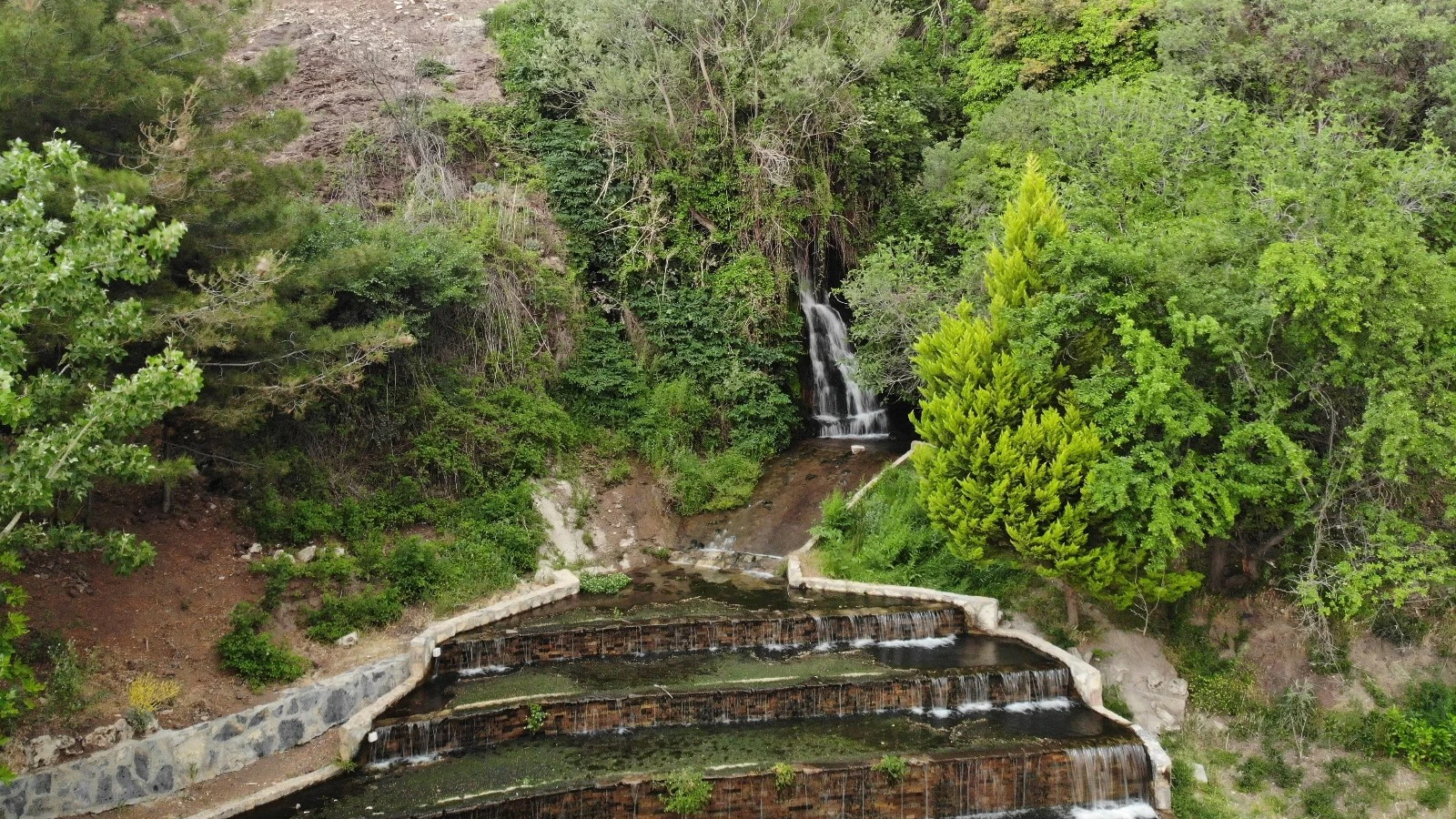
Enjoy the waterfall landscape on the Çivril side of the Akdağ region.
Discover Gümüşsu Waterfall
Discover the serene freshwater landscape and wetland environment of Çivril.
Explore Işıklı LakeAdd archaeological discoveries to a custom day across Denizli.
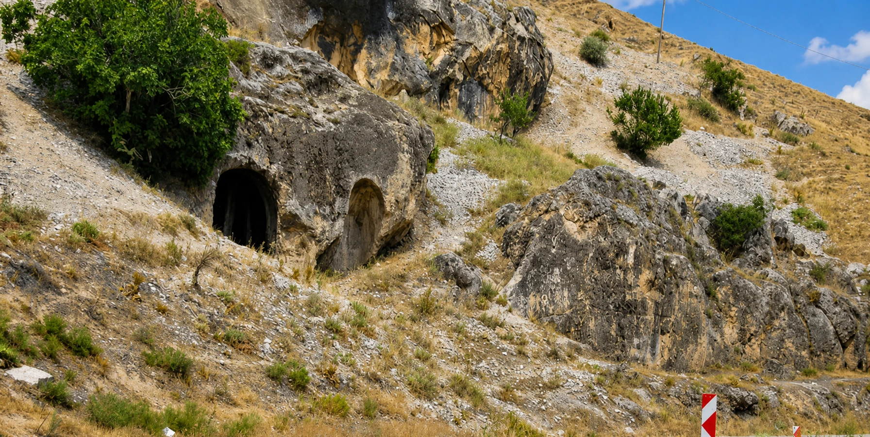
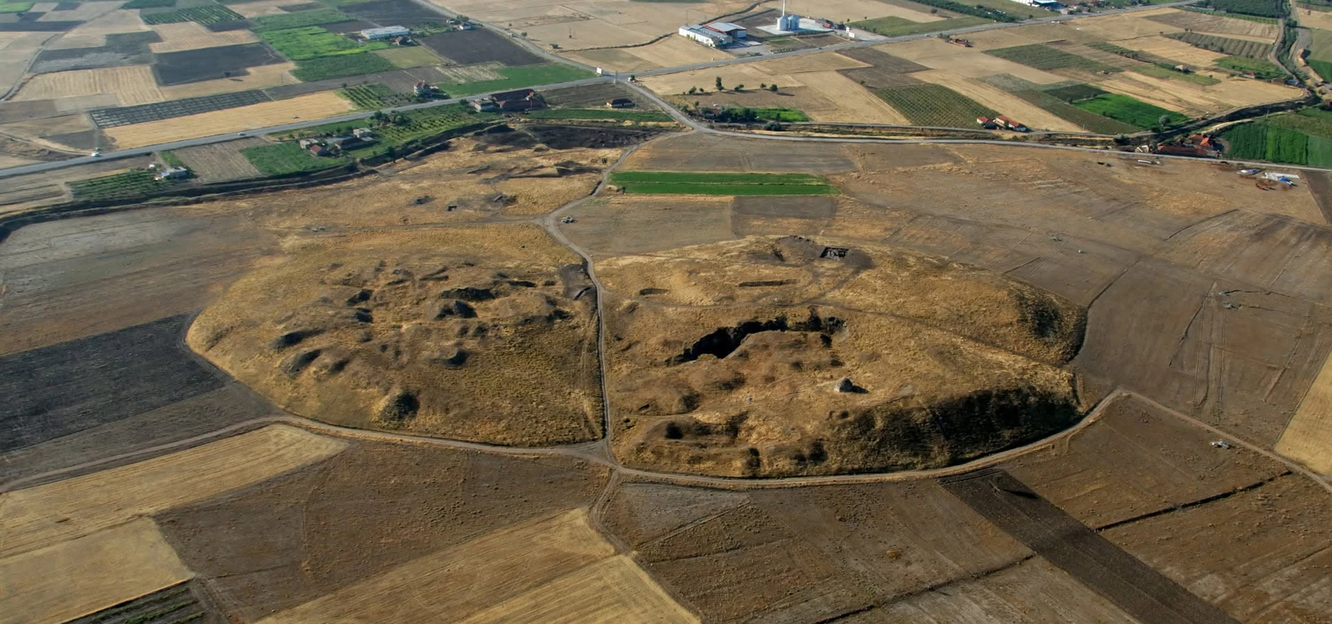
Discover the prehistoric and Bronze Age story of the Çivril area.
Explore Beycesultan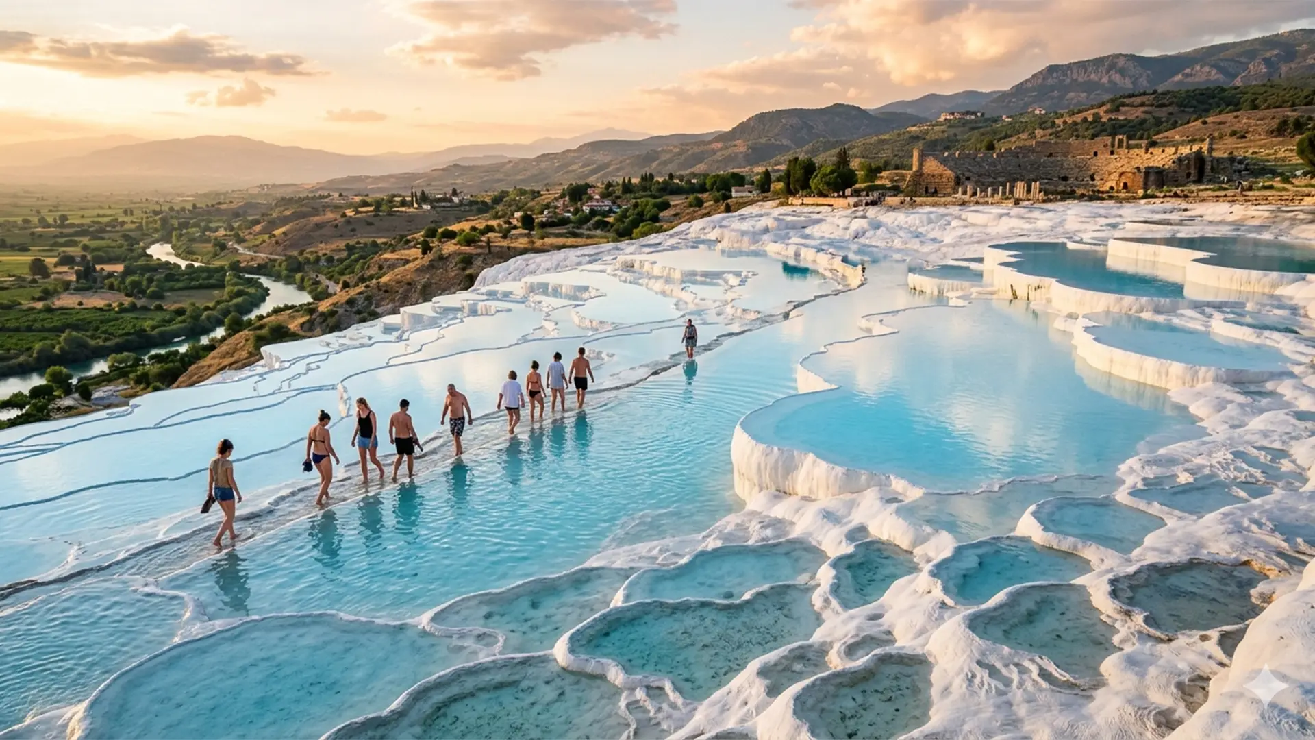
Discover Denizli’s iconic natural and archaeological heritage with private travel.
Explore Private Tour