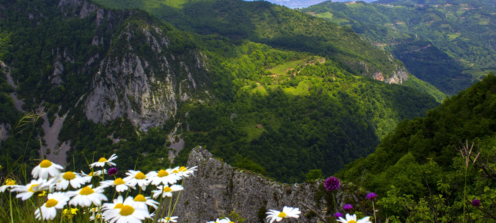
Beşkayalar Nature Park
Continue through Başiskele's deep valleys, forest streams and rugged mountain landscapes.
Explore Beşkayalar Nature Park





Hidden among the forested mountains behind Başiskele and Kartepe in Kocaeli, Serindere Canyon is one of the province's most spectacular destinations for canyoning, advanced trekking, waterfalls and wilderness scenery.
This is not an ordinary riverside walking path. Serindere is a genuine mountain canyon, where steep rock walls, moving water, natural pools, waterfalls and narrow passages create a landscape that demands both preparation and respect.
The canyon is formed by waters descending from the Samanlı Mountains, particularly the Müflizderesi and Karpuzçatlatan streams. Official tourism information describes a canyon approximately 8 kilometres long, containing six waterfalls whose heights range roughly between 10 and 20 metres.
Some sections narrow to only a few metres, while water depth changes repeatedly along the route. Completing the canyon therefore requires considerably more experience than a normal nature walk. Official guidance recommends professional leadership and appropriate equipment for visitors without advanced canyon or mountaineering experience.
A long mountain canyon shaped by streams descending from the Samanlı Mountains.
Major waterfalls along the canyon vary roughly between 10 and 20 metres in height.
The complete canyon passage is one of Kocaeli's most demanding outdoor routes.
Natural pools, changing depths, narrow passages and slippery rock define the experience.
Essential information for understanding one of Kocaeli's most challenging canyon environments.
Serindere,
Başiskele, Kocaeli.
Approximately
8 km.
6 major waterfalls
along the canyon system.
Approximately
10–20 metres.
Advanced
for the complete canyon traverse.
Approximately
26 km.
Serindere reveals a dramatically different side of Kocaeli, far removed from the industrial landscapes of the Gulf.
Serindere's importance begins with its scale and physical character. This is not simply a short ravine with a single waterfall. It is an extended canyon system shaped by mountain streams, rock walls, waterfalls and natural pools.
The canyon is considered one of the most demanding natural routes in Kocaeli. Its steep terrain, changing water depth and narrow sections mean that progress through the canyon may require different walking, scrambling and canyoning techniques.
Yet difficulty is only part of its appeal. Deep green woodland surrounds the canyon, while water has cut passages through the rock below. At certain points, the walls close tightly around the stream, creating a surprisingly remote atmosphere.
Serindere demonstrates how quickly the geography changes south of the Gulf of İzmit. Within a relatively short distance, urban Marmara gives way to Samanlı Mountain forest, rushing water, isolated valleys and dramatic canyon scenery.
Serindere belongs to the northern landscape of the Samanlı Mountains, whose forested slopes are cut by numerous streams flowing toward the lower basins around Kocaeli.
Official descriptions connect the canyon with the meeting of Müflizderesi and Karpuzçatlatan streams, whose waters originate in the Samanlı Mountains.
Over time, flowing water has exploited weaknesses in the rock, cutting downward and carrying loose material through the valley. Repeated erosion, seasonal floods and the movement of stones have helped create narrow passages, polished surfaces, pools and waterfalls.
The result is a landscape in which the stream and canyon cannot really be separated. The water is not merely something flowing through Serindere: it is the force responsible for shaping much of what visitors see today.
The character of Serindere changes continuously as the canyon deepens. Some stretches feel like a forest valley, while others close into narrow rocky corridors.
Official tourism information notes that parts of the canyon narrow to approximately 3 metres wide. In such places, the enclosing walls intensify the sound of moving water and create one of the most dramatic experiences on the route.
Water depth is not uniform. Shallow sections can quickly give way to deeper pools and more difficult passages, particularly where waterfalls and rock constrictions interrupt the stream.
Because conditions are natural and constantly changing, no written description should be treated as a guarantee of the exact water level, crossing difficulty or condition that will be encountered on a particular day.
Some parts of the canyon contract dramatically between steep rock walls.
Water collects in numerous pool-like basins carved into the canyon floor.
Six substantial waterfalls create major landmarks and obstacles along the route.
Depth and current vary with location, rainfall and season.
One of Serindere's defining features is its chain of six waterfalls. Official descriptions give their approximate heights as ranging from 10 to 20 metres.
They are not arranged as roadside viewpoints. They belong directly to the canyon system, appearing as the stream drops through different levels of rock.
Each waterfall changes the dynamics of the route. Some sections may require avoiding the direct fall line, finding an appropriate passage or using technical canyoning procedures depending on the chosen route and conditions.
Water volume also changes dramatically. A waterfall that appears manageable during lower summer flow may become much more powerful following significant rainfall.
Alongside the waterfalls, official descriptions mention numerous pool-shaped natural basins within Serindere Canyon.
These pools contribute to the canyon's beauty, but they also make water depth difficult to judge from the surface. Clear or shaded mountain water can look shallower than it really is.
The bottom may contain submerged rocks, branches or sudden changes in depth, while cold water can affect balance and movement surprisingly quickly.
For this reason, natural pools inside a technical canyon should not be treated like conventional swimming areas. Any water entry should be evaluated as part of the overall canyon route and current safety conditions.
Serindere sits within the broad mountain system south of the Gulf of İzmit, where the Samanlı Mountains rise into heavily wooded ridges, deep valleys and numerous stream systems.
The transition from the coast is striking. Roads leaving the urban settlements of Kocaeli gradually enter reservoir landscapes, villages, dense forest and increasingly rugged terrain.
Inside the canyon, vegetation grows wherever moisture, soil and light allow it. Moss, ferns and forest plants soften sections of otherwise steep rock.
Running water provides the constant soundtrack. In narrower passages, the canyon walls amplify the stream and waterfalls, while wider sections reveal the surrounding forest canopy.
Steep canyon sides create enclosed passages and dramatic natural corridors.
Dense Samanlı Mountain vegetation surrounds much of the canyon landscape.
Mountain water is the defining feature of the canyon route.
Major drops interrupt the stream and create spectacular canyon scenery.
Serindere is particularly associated with canyoning: moving through a canyon by combining techniques such as walking, wading, scrambling and, where necessary, technical rope work.
Its approximately 8-kilometre length, six waterfalls, changing water levels and steep rock formations make Serindere one of Kocaeli's most challenging canyon environments.
Official local tourism information specifically emphasizes that different walking and climbing techniques can be required because of the steep rocks and varying depth of the water.
The full route is therefore aimed at experienced participants rather than visitors looking for an easy scenic walk. Proper group organisation, technical knowledge and the ability to make conservative safety decisions are essential.
Visitors should distinguish between walking in the Serindere landscape and attempting the complete canyon passage.
The surrounding valley, village roads and broader mountain area allow visitors to experience Serindere without necessarily committing to every technical section of the canyon.
Official trekking information also records wider routes connected with Serindere, including mountain walking toward Sultaniye and routes associated with Kızkalesi.
Even easier-looking approaches can contain mud, wet stones, stream crossings and isolated terrain. Visitors should therefore prepare as they would for a genuine mountain environment rather than an urban park.
Explore the village and accessible valley areas without attempting the complete canyon.
Use established surrounding trails appropriate to your experience and current conditions.
Requires a much higher level of preparation once technical terrain begins.
Suitable only for properly experienced and equipped participants.
Official tourism sources repeatedly describe Serindere as one of the most difficult canyon routes in Kocaeli.
The challenge comes from the combination of water, steep rock, narrow passages, waterfalls, changing depth and slippery surfaces rather than from walking distance alone.
Some parts of the canyon become only a few metres wide. Elsewhere, progress is interrupted by substantial waterfalls and pools. Completing the route can take many hours.
Fatigue becomes an important consideration. Technical decisions that feel straightforward early in the day can become much harder after hours of cold water, wet clothing and continuous movement over uneven terrain.
Visitors without advanced canyon experience should not attempt the complete traverse independently.
Rainfall can rapidly change water depth, flow and waterfall strength.
Choose footwear suitable for wet rock with a strong, reliable sole.
Phones, documents and essential equipment should be protected against full immersion.
Technical canyon environments are unsuitable for solo exploration.
Extended time in mountain water can cool the body even during warm weather.
A canyon can provide far fewer convenient escape points than an ordinary trail.
If conditions exceed your group's ability, retreat before becoming committed to harder terrain.
Equipment depends on whether you are exploring accessible surroundings or undertaking a technical canyon route. A full canyon traverse should be planned by people who understand the route and the equipment required for current conditions.
Official visitor guidance particularly emphasizes sturdy water footwear with hard, reliable soles because muddy water and wet canyon rock can become extremely slippery.
Waterproof protection is also recommended. Even items carried above the waterline can become submerged after a slip or while negotiating deeper sections.
Use strong footwear designed to remain secure on wet rock.
Carry essential belongings inside reliable waterproof protection.
Technical canyon routes require protection appropriate to falling and impact hazards.
Rope and canyoning equipment should be selected and used by properly trained participants.
Carry sufficient supplies for a route that may take considerably longer than expected.
A suitable first-aid and emergency setup should form part of group preparation.
Keep insulating clothing protected for use after leaving the water.
Do not rely entirely on continuous mobile reception in mountain terrain.
Rich vegetation and strong water create spectacular scenery, but higher flows can make canyon passage much more dangerous.
July and August are officially highlighted as the most suitable months because water levels are generally lower.
Forest colours can be excellent, but rainfall patterns become increasingly important for route safety.
Cold water, low temperatures, slippery rock and difficult access make technical canyon activity considerably more demanding.
For visitors intending to undertake the canyon route, the most important consideration is not simply warm weather. It is water level and recent rainfall.
Official guidance identifies July and August as the most suitable months for entering Serindere because the water is normally at its lowest seasonal level.
Earlier in the year, higher stream flow can make the waterfalls visually more impressive, but the same water can dramatically increase difficulty and danger inside narrow canyon sections.
For visitors who only want to enjoy the surrounding forest and mountain scenery without undertaking the technical canyon, spring and autumn can also be exceptionally beautiful.
July–August, subject to current water and weather conditions.
Spring to early summer.
Periods of stronger seasonal flow produce more dramatic cascades but greater risk.
Autumn, depending on annual weather patterns.
Periods of severe rain, flood risk or uncertain stream conditions.
Early morning provides the greatest daylight margin for a demanding route.
The Samanlı Mountains receive considerably more moisture than many visitors expect when looking at the urban weather around İzmit.
Rain falling higher in the drainage system can affect Serindere even when conditions near the canyon entrance appear relatively calm.
Recent rainfall influences stream depth, current speed, waterfall volume, rock grip and the feasibility of individual passages.
Always consider the weather across the wider catchment, not only whether rain is falling at the moment you arrive.
Serindere offers some of Kocaeli's most dramatic nature photography, with subjects ranging from narrow rock corridors and waterfalls to forest streams and natural pools.
Soft, overcast light can be particularly effective inside the canyon because it reduces extreme contrast between bright openings above and dark wet rock below.
Moving water creates opportunities for long-exposure photography, but carrying camera equipment inside a wet technical canyon introduces obvious risks.
Waterproof storage should therefore be considered essential rather than optional for valuable electronics.
Serindere is also known among visitors interested in camping and mountain nature. Its forest setting and relative isolation make the wider landscape attractive for outdoor stays.
Camping inside or immediately beside a watercourse requires special caution. A dry-looking area may lie within a drainage channel capable of changing rapidly following rain.
Choose established and legally permitted areas where possible, avoid obstructing paths or watercourses, and never create a fire where local regulations or seasonal wildfire restrictions prohibit it.
Anyone planning an overnight stay should also consider weather, mobile reception, vehicle access, cold overnight temperatures and the need to remove all rubbish.
Serindere Canyon is a natural and highly rugged outdoor environment, not a developed attraction with paved paths, handrails or step-free viewing platforms.
The complete route involves water, uneven and slippery rock, changes in level, narrow passages and potentially technical obstacles.
These conditions make the canyon itself unsuitable for conventional wheelchair access and extremely challenging for anyone with significant mobility or balance limitations.
Visitors who cannot undertake the canyon may still enjoy parts of the Serindere village and surrounding mountain landscape without entering the technical route.
Decide whether you are sightseeing, hiking nearby or attempting a technical canyon passage.
Conditions inside the canyon can change dramatically after rainfall.
Use a qualified guide if your group does not have serious canyoning experience.
Technical terrain takes time and should never be rushed because daylight is disappearing.
This is a water-defined canyon rather than a dry mountain footpath.
Use proper waterproof storage rather than relying on an ordinary backpack.
Bring sufficient drinking water, food and emergency essentials for your plan.
Carry everything you bring into the canyon back out with you.
Serindere Canyon is located in the mountain landscape around Serindere in Kocaeli, between the Başiskele and Kartepe area and approximately 26 kilometres from İzmit.
The site should be regarded primarily as a natural outdoor and canyoning destination rather than a conventional ticketed attraction.
Your experience depends heavily on weather, recent rainfall, stream level, route choice, group experience and equipment.
Local road conditions, parking arrangements, trail approaches and any temporary restrictions can change. Use current signs and local information when visiting.
Serindere, Kocaeli, Türkiye
Canyoning, mountain scenery, waterfalls and wilderness exploration.
Approximately 8 km.
Six, approximately 10–20 metres high.
Advanced / technical.
July–August for generally lower water.
Official visitor directions place Serindere approximately 26 kilometres from İzmit.
The commonly described approach from İzmit travels toward Yuvacık and Yuvacık Dam, continuing beyond the reservoir into the mountain countryside.
After passing the dam, official guidance directs visitors toward Camidüzü, with Serindere reached after approximately another 7 kilometres.
The final approach enters rural and mountain roads. Conditions may differ considerably from the main roads around İzmit, particularly during poor weather.
Travel toward Başiskele and Yuvacık before continuing into the mountain interior.
The reservoir is an important landmark on the approach toward Serindere.
Follow the mountain route beyond the dam toward Camidüzü and Serindere.
Expect rural roads and natural terrain rather than a major urban attraction entrance.
Serindere lies within possible day-trip range of Istanbul, but anyone attempting the full canyon should plan the journey around the outdoor activity rather than the driving time alone.
Travel first toward Kocaeli and the İzmit–Başiskele area, then continue inland through Yuvacık and the Samanlı Mountain countryside.
Weekend traffic around Istanbul, Kocaeli and the Gulf can add substantial time, so an early departure is strongly preferable.
For technical canyoning, starting early also provides an essential daylight margin should movement through the canyon take longer than expected.
Begin by driving inland through Başiskele and Yuvacık, watching the landscape change from the Gulf lowlands into the wooded Samanlı Mountains.
Continue past the Yuvacık Dam landscape and toward Serindere, allowing time to assess road, weather and water conditions before choosing how far to continue.
Visitors seeking a relaxed nature day can explore the Serindere countryside and accessible valley areas without attempting the full canyon.
Experienced canyoning groups should follow their own professionally planned itinerary, equipment strategy and entry/exit schedule rather than treating a sightseeing itinerary as technical route guidance.
Yuvacık – leave the urban Gulf behind and enter the mountain landscape.
Yuvacık Dam – enjoy the reservoir and surrounding valley scenery.
Serindere – explore the village and assess current canyon conditions.
Serindere landscape – enjoy an appropriate walk or professionally guided canyon activity.
Suitable only for enjoying the surrounding countryside and accessible approaches.
A comfortable choice for exploring the wider Serindere landscape without completing the canyon.
The sensible framework for serious outdoor activity and wider exploration.
Can require many hours and must be planned according to route, group and conditions.
Do not simply add more time — reassess whether entering the canyon is appropriate at all.
Follow the professional guide's route timing, equipment plan and safety decisions.
Choose strong footwear with reliable grip on wet and muddy rock.
Protect phones, keys, wallets and other essential belongings.
Carry an adequate personal supply for the planned duration.
Bring compact high-energy food appropriate for a demanding outdoor day.
Keep a dry layer protected for after prolonged exposure to canyon water.
Carry equipment appropriate to your group and activity.
Save maps and essential information before entering remote terrain.
For canyoning, use only equipment selected and operated by suitably trained participants.
Serindere fits naturally into a Kocaeli journey focused on mountains, forests, waterfalls and the landscapes south of the Gulf of İzmit.
Enjoy reservoir views and the green mountain landscape on the main approach to Serindere.
Continue exploring the rugged valleys, forests and streams of Başiskele.
Climb higher into the Samanlı Mountains for panoramic landscapes and seasonal recreation.
Choose a shorter forest-and-stream waterfall experience in the wider Kocaeli region.
Return toward the Gulf for waterfront scenery and naval heritage.
Balance wilderness with museums, Ottoman monuments and ancient Nicomedia heritage.
For travellers interested in dramatic natural scenery, waterfalls, mountain forests and serious outdoor adventure, Serindere is one of Kocaeli's most impressive landscapes.
Its appeal comes from its wildness. There is no single monument or viewpoint that defines the experience. Instead, the attraction is the interaction between water, rock, forest and the narrow canyon itself.
Experienced canyoners can find a genuinely demanding environment, while less technical visitors can still appreciate the surrounding countryside without attempting the complete route.
Perhaps most surprising is the canyon's proximity to metropolitan Marmara. Only a relatively short journey from İzmit, the landscape can feel isolated, mountainous and remarkably untouched.
Serindere Canyon is in Kocaeli Province, in the mountain area associated with Başiskele and Kartepe south of the Gulf of İzmit.
It is called Serindere Kanyonu.
Official tourism information places it approximately 26 kilometres from İzmit.
Kocaeli tourism information describes the canyon as approximately 8 kilometres long.
The canyon contains six major waterfalls.
Official descriptions place their heights roughly between 10 and 20 metres.
Yes. The complete route is considered one of Kocaeli's most difficult canyon passages.
Beginners should not attempt the complete canyon independently. Official guidance recommends a professional guide and suitable equipment for inexperienced visitors.
Advanced experience is required for completing the full technical route. Ordinary hiking experience alone should not be considered sufficient.
Yes. Official information states that some sections narrow to approximately 3 metres.
Water is a defining feature of the route, with streams, waterfalls, natural pools and sections of changing depth.
For canyon passage, official guidance particularly recommends July and August, when water levels are generally lower.
The surrounding landscape is beautiful in spring, but stronger water flow may make technical canyon sections considerably more dangerous.
Heavy or recent rainfall can increase water flow and change canyon conditions dramatically. Technical entry should be reconsidered when water conditions are uncertain.
Official guidance recommends strong water footwear with hard, reliable soles for slippery and muddy rock.
Yes. Waterproof protection is strongly recommended because belongings may be exposed to splashes or full immersion.
The complete technical canyon is not an ordinary family walking route. Families can instead enjoy appropriate parts of the wider Serindere countryside according to conditions.
No. The natural canyon contains water, rocks, narrow passages and major changes in level and is not suitable for standard wheelchair access.
Serindere is known as a camping and outdoor destination, but visitors should use suitable legal areas and avoid camping within potentially dangerous drainage channels.
Yes. You can enjoy the Serindere countryside and surrounding mountain landscape without attempting the complete technical canyon route.
From İzmit, travel toward Yuvacık and Yuvacık Dam, continue toward Camidüzü and then follow current local directions toward Serindere.
Good additions include Yuvacık Dam, Beşkayalar Nature Park, Kartepe, Nüzhetiye Waterfall, Gölcük and İzmit.
The journey to Serindere begins with transition. The dense urban world surrounding the Gulf of İzmit slowly disappears, replaced by reservoir water, mountain roads, villages and deep Samanlı forest.
Then the landscape closes in. The stream becomes louder. Rock walls rise on either side, and the route begins to follow the same water that has shaped the canyon over thousands of years.
Pools interrupt the channel. Waterfalls appear between the walls. At the narrowest points, the outside world feels very far away despite Kocaeli's cities lying only a relatively short distance beyond the mountains.
For experienced canyoners, Serindere is a challenge of movement, judgment and endurance. For photographers and nature lovers, the wider valley offers water, forest, rock and some of the province's most dramatic wilderness scenery.
That contrast is what makes Serindere memorable. Kocaeli is often associated with industry and the Gulf, yet behind those familiar landscapes lies a completely different world: deep valleys, mountain streams, waterfalls and one of northwestern Türkiye's remarkable canyon environments.
Serindere reveals Kocaeli at its wildest. Continue through the province to discover waterfalls, mountain forests, winter landscapes, maritime history and the cultural heritage of the Gulf of İzmit.
From Serindere's canyon walls and waterfalls, discover more remarkable landscapes across the province.
Continue through Başiskele's deep valleys, forest streams and rugged mountain landscapes.
Explore Beşkayalar Nature Park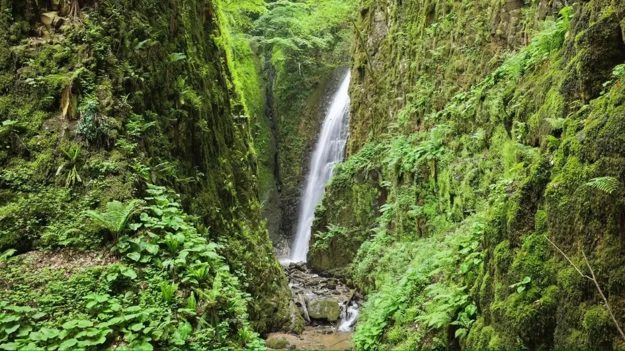
Follow a shorter forest stream route through the Samanlı Mountains to one of Gölcük's beautiful waterfalls.
Explore Nüzhetiye Waterfall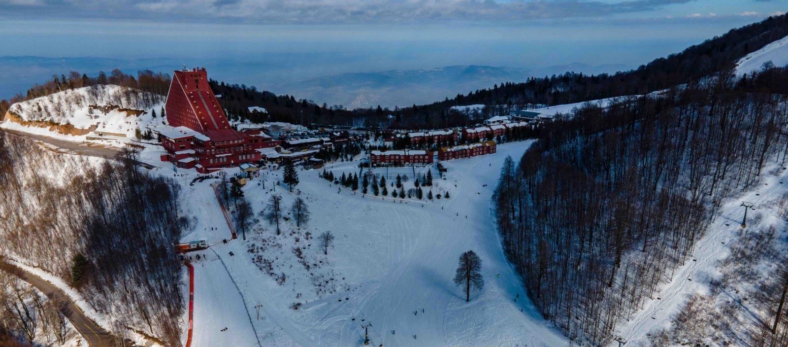
Climb higher into the Samanlı Mountains for panoramic scenery, forests and seasonal winter recreation.
Explore Kartepe Ski Center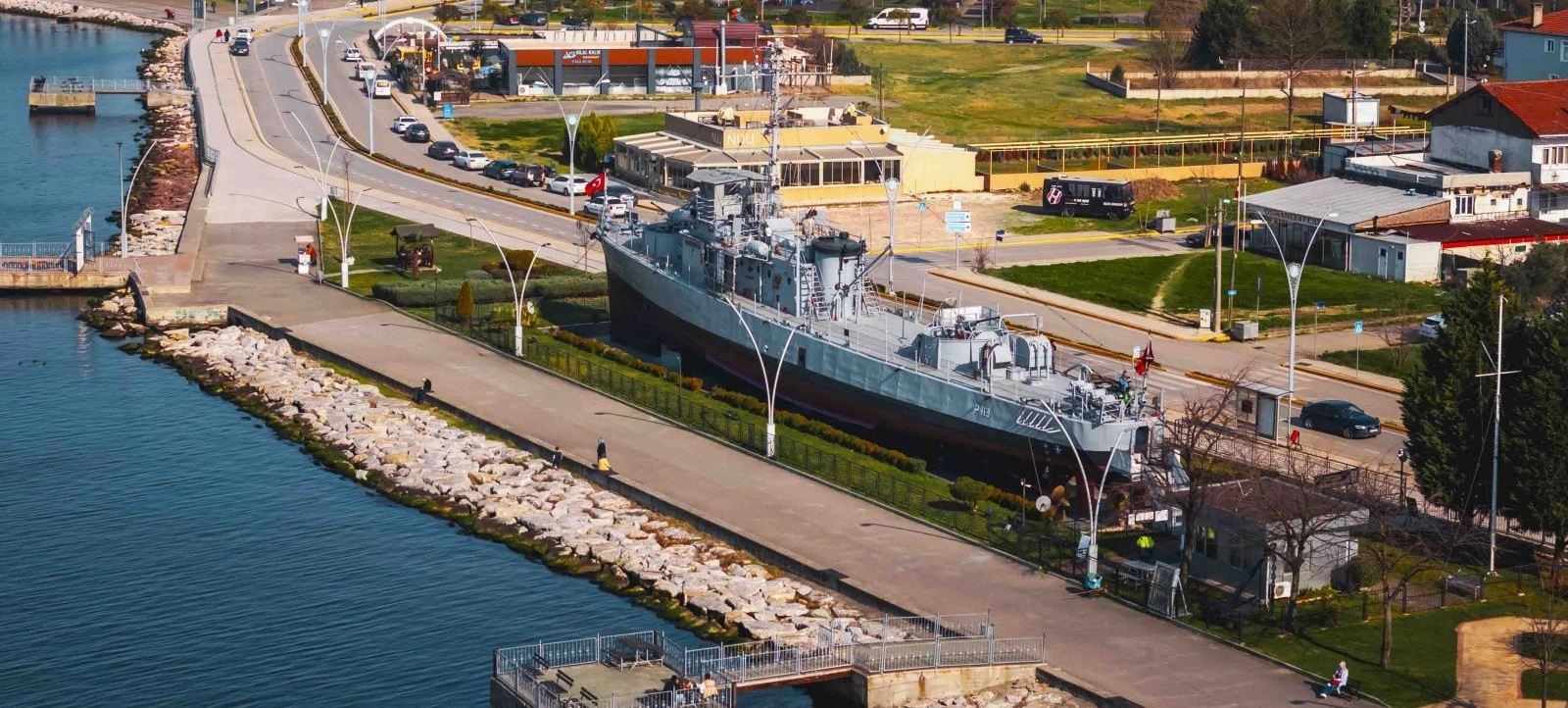
Exchange mountain wilderness for the naval history and maritime identity of Gölcük.
Explore Yarhisar Museum Ship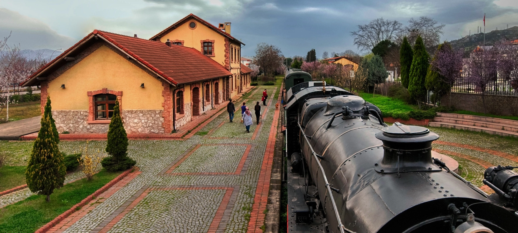
Return to the Gulf to discover İzmit's railway history and elegant late Ottoman architecture.
Explore Historical İzmit Train Station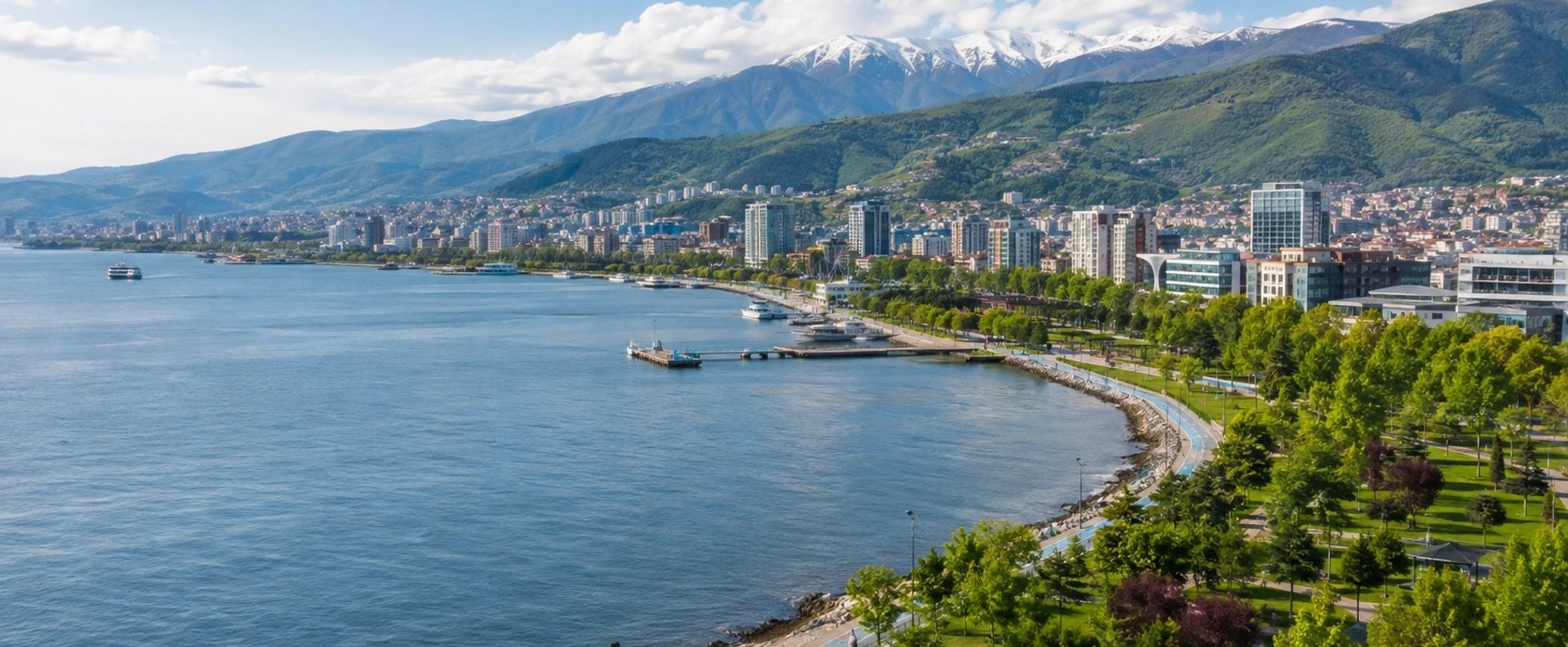
Discover ancient Nicomedia, Ottoman heritage, Gulf landscapes, forests, waterfalls and mountain escapes across Kocaeli.
Discover Kocaeli