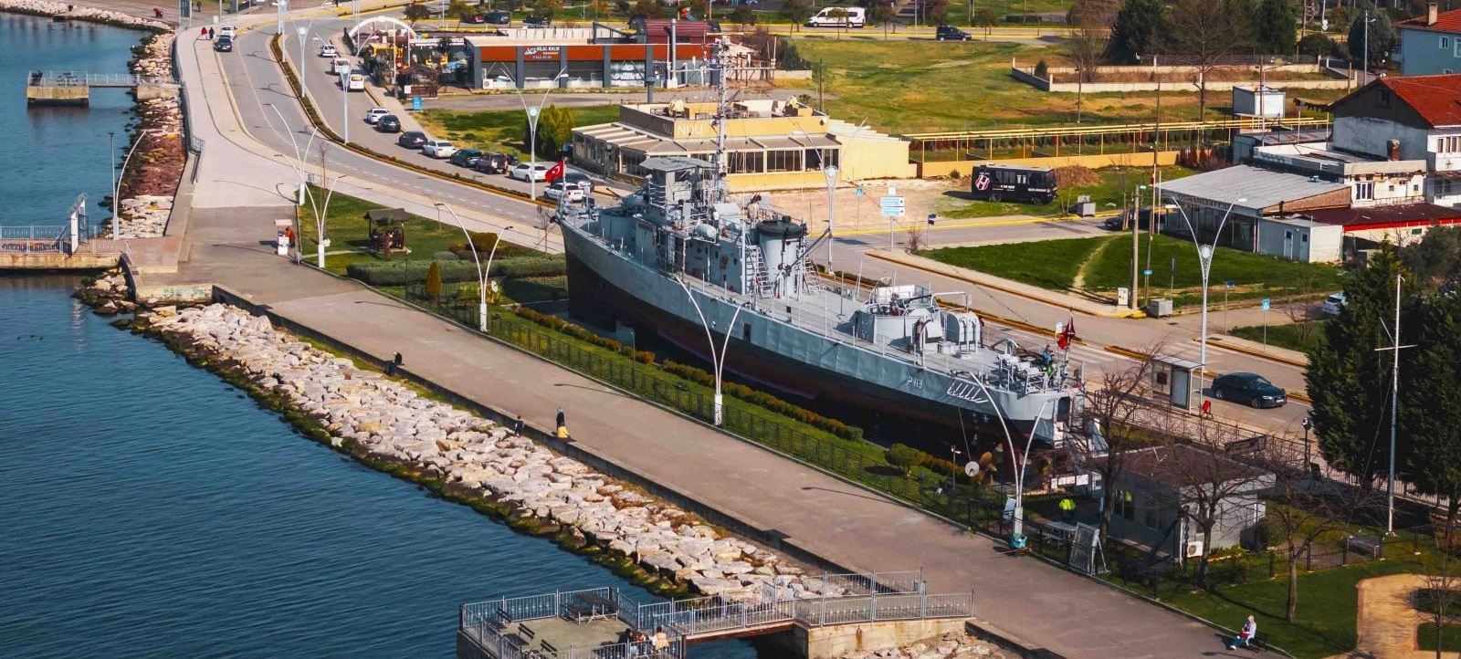
Yarhisar Museum Ship
Exchange forest streams for naval history aboard one of Gölcük's most distinctive museum attractions.
Explore Yarhisar Museum Ship





Hidden near Nüzhetiye in Gölcük, Kocaeli, Nüzhetiye Waterfall is one of the province's best-known destinations for nature walking, stream-side scenery, photography and summer escapes. The route leads visitors away from the Gulf of İzmit and into the deeply green foothills of the Samanlı Mountains.
The experience is about much more than a single waterfall. Much of the walk follows a wooded stream corridor, with wet rocks, small cascades, moss-covered surfaces, tree shade and repeated encounters with running water. The final waterfall appears within a narrow, enclosed natural setting that feels surprisingly remote.
Official tourism information describes Nüzhetiye as a relatively short but rewarding trekking route. The commonly promoted route is approximately 5 kilometres and is generally described as moderate in difficulty, with sections that may require stream crossings and careful movement over slippery rocks.
Nüzhetiye itself adds another layer to the visit. The settlement, historically known as Döşeme, became home to families who migrated from the eastern Black Sea and Caucasus region after the 1877–78 Ottoman–Russian War, and local sources note that traces of eastern Black Sea architectural character remain part of its identity.
The commonly promoted nature route combines forest walking, stream sections and the waterfall.
Wet rocks, water crossings and uneven terrain make proper footwear important.
The route is known as a year-round walk, although rain, snow and ice can greatly change difficulty.
Chestnut, beech and linden woodland frame a cool stream valley in the Samanlı Mountains.
Essential information for planning a nature walk to Nüzhetiye Waterfall in Gölcük, Kocaeli.
Nüzhetiye,
Gölcük, Kocaeli.
Approximately
5 km.
Generally described as
moderate.
Forest, stream crossings,
wet rocks & cascades.
Hiking & photography
in a shaded forest valley.
About 20 km from İzmit,
depending on route.
Nüzhetiye combines a memorable waterfall with the experience of reaching it through a cool, forested stream valley.
The appeal of Nüzhetiye begins with the journey through the landscape. Rather than arriving beside the waterfall by a city road, visitors move through woodland, along and across a stream, over rocks and past smaller cascades.
Kocaeli's official tourism material repeatedly highlights the waterfall as one of the province's most attractive natural sights. Its relatively compact hiking route makes it suitable for travellers who want a genuine outdoor experience without committing to an all-day mountain expedition.
The route is particularly atmospheric in warm weather. Dense tree cover, running water and the enclosed valley create a cooler and greener environment than the coastal settlements around the Gulf of İzmit.
Nüzhetiye also represents the surprising geographical diversity of Kocaeli. Within a short distance of major urban and industrial areas, the scenery changes into forest, stream valleys, rural villages and mountain terrain.
Nüzhetiye, historically known as Döşeme, lies in the wooded uplands of Gölcük. The village is closely connected with the migration movements that followed the 1877–78 Ottoman–Russian War, known in Türkiye as the 93 Harbi.
Official local sources describe Nüzhetiye as a settlement associated with families arriving from the eastern Black Sea and Caucasus region. More detailed local historical accounts particularly connect its establishment with migrants from the Batumi area.
The settlement is also noted for preserving elements associated with eastern Black Sea rural architecture, giving the village cultural interest beyond its natural surroundings.
Today, Nüzhetiye's best-known visitor attraction is its waterfall, but the village itself helps explain why the landscape feels different from the coastal settlements below: it is a mountain community shaped by forest, water and migration history.
Nüzhetiye Waterfall drops through a narrow, green setting where rock walls, ferns, moss and dense woodland frame the moving water. The enclosed character of the site gives the waterfall a secluded atmosphere.
The amount of water is seasonal. After periods of rainfall, the cascade can appear stronger and more dramatic. During drier periods, the flow can be gentler.
That same rainfall can also make the approach considerably more difficult. The route contains wet stones, slippery surfaces and stream crossings, so a more powerful waterfall often comes with more demanding trail conditions.
The safest photographs are taken from stable ground. Avoid stepping onto exposed wet rocks simply for a closer angle, especially when the stream is running strongly.
Nüzhetiye lies within the broader Samanlı Mountains landscape, where the terrain rises south of the Gulf of İzmit into forested ridges and stream valleys.
The waterfall route follows a narrow drainage corridor through dense woodland. The constant relationship between water, rock and forest defines the scenery.
In places, tree roots and fallen timber mix with boulders and stream stones. Elsewhere, the valley opens slightly before narrowing again near cascades and the main waterfall.
The landscape is especially lush in spring and early summer, when fresh growth covers the valley walls and the stream is usually more active.
Dense woodland creates deep shade and a secluded atmosphere.
Much of the walking experience follows the watercourse itself.
Smaller drops and rushing sections appear before the main waterfall.
Moss and moisture make grip one of the most important safety considerations.
Local official descriptions highlight chestnut, beech and linden trees along the Nüzhetiye walking landscape. Together they create the dense canopy that gives the route its cool, green character.
The shade is especially welcome in summer, when temperatures in the urban areas around the Gulf can feel much warmer. Near the stream, humidity and flowing water add to the sense of coolness.
Spring produces vivid green foliage, while autumn changes the character of the route as deciduous trees take on yellow, gold and copper tones.
Stay on established paths where possible. Repeated shortcuts around muddy or wet sections can widen the trail, damage plants and accelerate erosion.
One of the defining features of the Nüzhetiye route is that the walk is closely tied to the stream. Official hiking information notes that much of the route passes within or beside the watercourse.
This means hikers may need to cross from one bank to the other several times. Depending on recent rainfall, stones may be exposed, partly submerged or completely wet.
Natural logs and rough crossing points can sometimes act as bridges, but these should never be assumed to be stable. Always test footing before committing your full weight.
Expect your footwear to become wet or muddy. For many visitors, that is part of the experience rather than an inconvenience.
Kocaeli tourism sources commonly promote a roughly 5-kilometre walking route associated with Nüzhetiye Waterfall. The trail is generally described as moderate rather than an effortless family promenade.
The route mixes forest paths, stream sections, rocky ground, water crossings and slippery surfaces. Some descriptions note short sections where ropes have been used to assist passage over difficult rocks.
The classic experience reaches the waterfall and then returns along the same general route. Actual distance and walking time can vary depending on the exact starting point, detours, water levels and current trail condition.
Do not judge the route only by its distance. Five kilometres on wet, uneven stream terrain can take considerably more time and energy than five kilometres on a normal road or park path.
Commonly promoted as approximately 5 km.
Generally moderate, with slippery and uneven sections.
Forest ground, rocks, streambed and wet crossing points.
The waterfall walk is typically completed as an out-and-back experience.
The route is often classified as medium or moderate difficulty, but conditions can make the same walk feel very different from one day to another.
The main challenges are not extreme altitude or long distance. They are slippery stones, water crossings, uneven footing and sections where hands may be useful for balance.
After heavy rain, stream levels can rise and rocks become even more slippery. In winter, cold, mud, snow or ice can add another level of difficulty.
Visitors with no experience on wet mountain trails should move slowly, avoid rushing the return and be willing to turn back if a crossing feels unsafe.
Nüzhetiye is one of Gölcük's strongest nature-photography locations because the scenery changes constantly along a relatively compact route.
Photographic subjects include stream crossings, small cascades, moss-covered rocks, ferns, forest tunnels, moving water and the main waterfall.
Cloudy weather can work surprisingly well here. Soft light reduces harsh contrast beneath the trees and helps preserve detail in both bright water and dark forest.
After rain, the greens become deeper and the waterfall may become more dramatic, but camera handling and footing become more difficult. A waterproof cover or dry bag is useful.
Fresh leaves, active streams and strong green colours make this one of the most attractive periods.
Forest shade and running water create a refreshing escape from the heat around the Gulf.
Changing foliage gives the route a warmer colour palette and excellent photography potential.
The trail can still be walked in suitable conditions, but mud, snow, ice and high water require extra caution.
The forested mountain setting can feel cooler and damper than coastal Gölcük or central İzmit. Shade remains deep in many sections even during summer.
Rain is the most important weather factor because it directly affects water level, rock grip, mud and crossing difficulty.
A dry day after several rainy days can still mean a strong stream and slippery trail. Check recent weather, not only the forecast for the hours of your visit.
In colder months, be alert for ice on shaded rocks and packed snow on higher or less exposed sections.
Strong grip is essential on mossy stones and wet forest ground.
Water levels can change the difficulty of stream crossings.
Official trail guidance advises visitors not to rely on a potable water source along the route.
Keep phones, cameras and documents inside waterproof protection.
Do not assume ropes, logs or branches are secure without checking them.
Short steps and careful balance are safer than trying to cross wet rocks quickly.
Do not force a crossing when current water levels make the route unsafe.
Begin early enough to finish the stream route before darkness.
Nüzhetiye Waterfall should be understood as a natural hiking destination, not as a fully paved scenic attraction.
The route can include wet rocks, uneven ground, stream crossings, mud, logs and changes in level. These conditions create substantial barriers for visitors requiring wheelchair access or step-free surfaces.
Families with very young children, visitors with limited balance or anyone uncomfortable around moving water should evaluate the trail carefully before beginning.
The village and surrounding countryside can still be enjoyed without completing the full stream walk, but the final waterfall route itself requires confident movement on natural terrain.
More daylight gives you time to move carefully instead of rushing wet crossings.
Choose proper hiking shoes rather than smooth-soled city footwear.
Stream crossings can make waterproof shoes or spare socks especially useful.
Carry your own drinking water for the route.
Protect phones and cameras from splashes and accidental slips.
Recent rain can matter more than the forecast for the exact moment you arrive.
Carry all rubbish back out of the valley.
Trail approaches and local arrangements can change, so use the latest signage on arrival.
Nüzhetiye Waterfall is located in the Nüzhetiye area of Gölcük, Kocaeli, in the wooded foothills of the Samanlı Mountains.
The attraction is primarily an outdoor nature route. Your experience depends on weather, stream level, trail condition, season and local access arrangements.
Official sources describe the route as a trekking destination, with a commonly promoted distance of about 5 kilometres and moderate difficulty.
Restaurants and trout facilities have long been associated with the Nüzhetiye area, but opening days, services, parking arrangements and any local access rules should be checked close to the date of travel.
Nüzhetiye, Gölcük, Kocaeli, Türkiye
Forest and stream trekking to a natural waterfall.
Commonly promoted as approximately 5 km.
Moderate, with wet and uneven sections.
Four seasons in suitable conditions.
Good-grip hiking footwear.
Nüzhetiye lies inland from the main İzmit–Gölcük corridor. Official local information describes access from the D-100 / İzmit–Yalova direction, then turning inland toward Nüzhetiye.
Traditional directions mention using the Ford Otosan junction or the Bahçecik junction and then following signs toward Nüzhetiye.
The village is roughly 19–20 kilometres from central İzmit. Actual driving time depends on traffic, the chosen junction, road works and the exact parking or trail-start point.
Once in the village area, follow current local signs for the waterfall and trekking route rather than relying entirely on an old route description.
Travel toward Gölcük/Yalova and turn inland toward Nüzhetiye.
Head into the forested interior of the district toward Nüzhetiye.
Reach Kocaeli via the Marmara road network, then continue toward the Gölcük corridor.
Expect village roads and a natural trail environment rather than an urban attraction entrance.
Nüzhetiye is within practical day-trip range of Istanbul, which helps explain its popularity among weekend hiking groups.
Older official local guidance has described the journey from Istanbul as around 1.5 hours, but modern traffic conditions can make travel times much longer, especially at weekends.
Leave early if you want to walk without rushing. A morning start provides more time for stream crossings, photography, rest stops and a relaxed return before dark.
For a fuller weekend, Nüzhetiye can be combined with Gölcük, Değirmendere, İzmit or the mountain landscapes toward Başiskele and Kartepe.
Arrive in the Nüzhetiye village area in the morning, check the weather and trail condition, and make sure everyone has suitable footwear and water.
Begin the walk through the forested stream valley. Move slowly through wet sections and enjoy the smaller cascades, ferns, moss and changing light beneath the trees.
Continue toward Nüzhetiye Waterfall, allowing extra time at difficult crossings rather than treating the route as a race. Spend time photographing the main cascade from safe ground.
Return along the walking route, then finish the day with a meal in the wider Nüzhetiye or Gölcük area if local facilities are open.
Nüzhetiye – arrive, prepare and check current trail conditions.
Forest stream – follow the shaded valley and smaller cascades.
Nüzhetiye Waterfall – enjoy the main natural highlight and photography.
Gölcük region – finish with a relaxed meal or Gulf-side stop.
Too short for a relaxed full waterfall walk; suitable only for a brief stop in the village area.
A reasonable minimum for an experienced walker in good trail conditions.
The best choice for most visitors, allowing time for careful walking and photography.
Ideal when combining the waterfall with Nüzhetiye village, Gölcük or nearby countryside.
Allow extra time because every wet crossing may require more careful movement.
Plan conservatively and turn back if stream or rock conditions are unsuitable.
For most visitors, spring through autumn offers the most comfortable balance of greenery, daylight and manageable trail conditions.
Spring is especially attractive because the forest is fresh and the waterfall is often active. Early summer combines strong greenery with warmer weather and deep shade.
Autumn is excellent for photographers, with changing foliage surrounding the stream and waterfall.
Winter visits can be beautiful, but mud, cold, snow and ice can transform the difficulty of the route.
Spring and periods after moderate seasonal rain.
Spring to early summer.
Summer, when the forest canopy offers relief from the heat.
October–November, depending on yearly weather patterns.
Soft cloudy light, spring greens and autumn foliage are all rewarding.
Immediately after heavy rain and during icy winter conditions.
Good-grip footwear is the single most important item for wet stone.
Carry your own supply rather than relying on natural water along the trail.
Useful if stream crossings leave your feet wet.
A lightweight waterproof layer helps in the damp mountain environment.
Protect phones, wallets and camera equipment from water.
Useful for minor cuts, slips or blisters on natural terrain.
Save directions before entering the valley in case mobile data is inconsistent.
Carry something simple even if you plan to eat at a local facility later.
Nüzhetiye fits naturally into a wider Kocaeli itinerary, especially for travellers combining nature, village landscapes and Gulf heritage.
Continue to the Gulf coast for maritime history, parks and waterfront scenery.
Pair a forest morning with a visit to Gölcük's naval and maritime heritage.
Enjoy the coastal atmosphere, cafés and Gulf views west of Gölcük.
Add a historical thermal-water stop in the wider Gölcük district.
Combine the waterfall with museums, Ottoman monuments and ancient Nicomedia heritage.
Extend the nature theme into the deeper valleys and mountain landscapes of Başiskele.
For travellers who enjoy waterfalls, forest walks, stream crossings and photography, Nüzhetiye is one of the strongest natural additions to a Kocaeli itinerary.
Its greatest advantage is the sense of progression. The waterfall is not separated from the landscape: the walk through the stream valley is part of what makes arriving there rewarding.
The route is short enough to fit into a half-day plan, yet natural enough to feel like a real hike. That balance makes it attractive to visitors who want more than a roadside viewpoint without committing to a long mountain trek.
Nüzhetiye also reveals a quieter side of Gölcük. Only a short distance from the Gulf, the environment becomes wooded, cool, rural and filled with running water.
Nüzhetiye Waterfall is in the Nüzhetiye area of Gölcük district, Kocaeli Province, in northwestern Türkiye.
It is called Nüzhetiye Şelalesi.
Yes. Official local and tourism sources place Nüzhetiye within Gölcük district.
The commonly promoted official tourism route is approximately 5 kilometres, although exact recorded distances can vary with starting point and route choice.
It is generally described as moderate. Wet rocks, stream crossings and uneven surfaces are the main challenges.
Much of the route follows the stream and may require repeated crossings, so visitors should be prepared for wet footwear.
The stones can be mossy and very slippery. Good-grip trekking footwear is strongly recommended.
Official hiking information describes the route as walkable in four seasons, but winter weather and heavy rain can make it significantly harder.
Spring through autumn is generally the easiest period for most visitors, with spring especially attractive for greenery and water flow.
Yes. The dense forest, shade and running water make it a popular escape during hot weather.
Heavy rain can raise the stream and make rocks far more slippery. Reconsider the walk if crossings appear unsafe.
Yes. Official trail guidance advises carrying water rather than relying on a potable source along the route.
Older children comfortable with natural hiking terrain may enjoy it, but stream crossings and slippery rocks require close supervision. Conditions should be assessed on the day.
The natural stream trail is not suitable for standard wheelchair access because of rocks, water crossings and uneven ground.
The settlement was historically known as Döşeme.
Local official sources connect the settlement with families who migrated from the eastern Black Sea and Caucasus region after the 1877–78 Ottoman–Russian War.
Official local information places the village at roughly 19–20 kilometres from central İzmit.
Yes. Nüzhetiye is a popular weekend nature destination within practical driving range of Istanbul, although traffic can significantly affect journey times.
Trout restaurants and countryside facilities have long been associated with the Nüzhetiye area. Check current opening information before relying on them.
Bring hiking shoes, drinking water, spare socks, waterproof protection, a small first-aid kit and an offline map.
For most visitors, half a day provides a comfortable amount of time for the walk, waterfall and photography.
Yes. The combination of moving water, moss, ferns, forest shade and the main waterfall makes it one of Gölcük's most photogenic natural routes.
Good nearby additions include Gölcük, Değirmendere, Yarhisar Museum Ship, İzmit and the Yuvacık–Beşkayalar region.
The character of Nüzhetiye begins before the waterfall appears. Leaving the Gulf behind, the road climbs into greener countryside and reaches a village surrounded by the wooded slopes of the Samanlı Mountains.
From there, the experience becomes increasingly natural. The sound of traffic gives way to running water, birds and the movement of leaves. The stream becomes the guide.
The path repeatedly asks you to slow down: a wet rock, a narrow crossing, a fallen log, a small cascade, or a patch of moss catching filtered light beneath the trees.
Then the main waterfall appears within its green enclosure. The journey makes the scene feel earned, and that is one of the reasons Nüzhetiye leaves such a strong impression despite the route's relatively modest length.
For photographers, it is a sequence of changing compositions. For hikers, it is a playful stream route. For visitors escaping the city, it is a reminder that some of Kocaeli's wildest-looking landscapes lie remarkably close to the urban Marmara region.
Nüzhetiye reveals Gölcük's green mountain side. Continue through Kocaeli to discover naval history, Ottoman monuments, museums, waterfalls, forests and the landscapes of the Gulf of İzmit.
From the forest stream at Nüzhetiye, discover different stories and landscapes across the province.
Exchange forest streams for naval history aboard one of Gölcük's most distinctive museum attractions.
Explore Yarhisar Museum Ship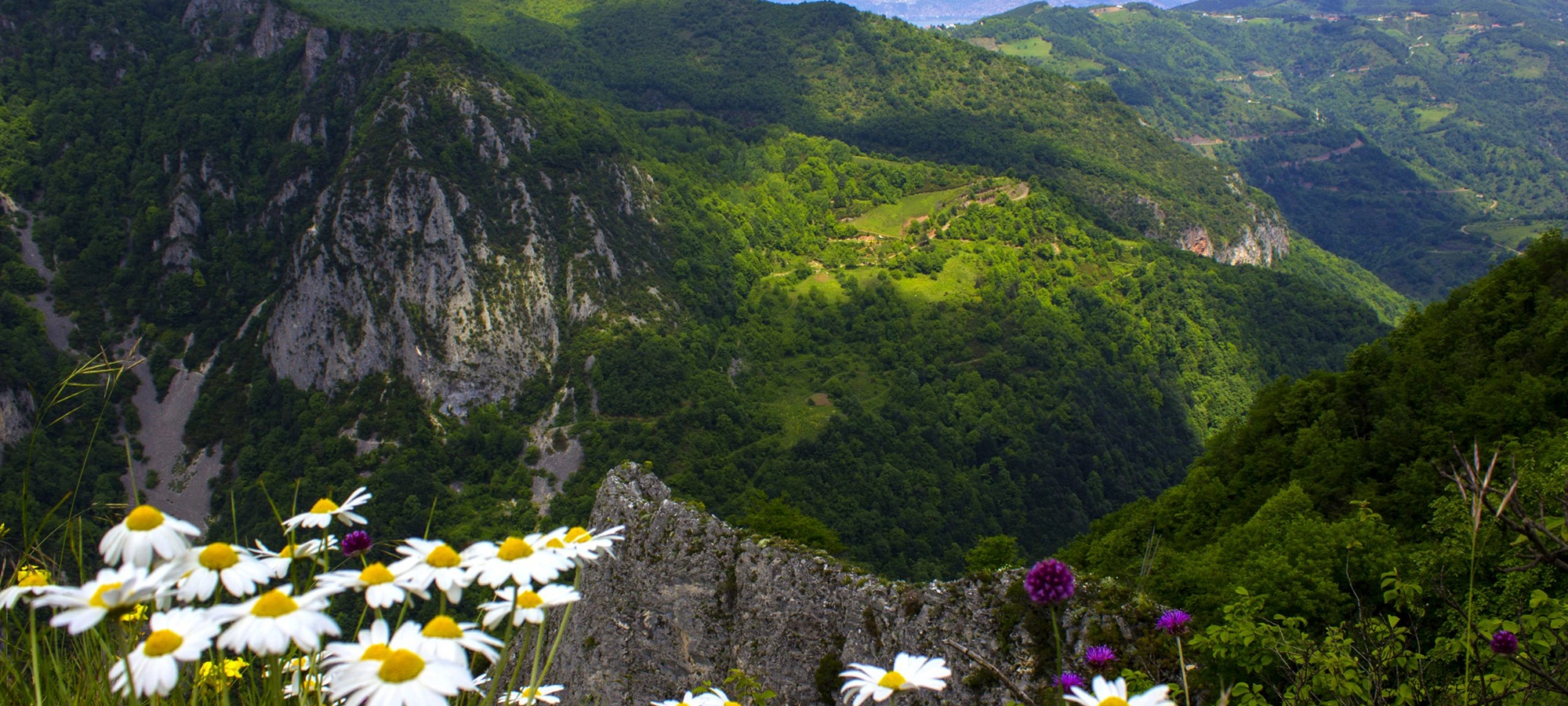
Continue deeper into Kocaeli's mountain wilderness for canyons, valleys, streams and demanding trekking landscapes.
Explore Beşkayalar Nature Park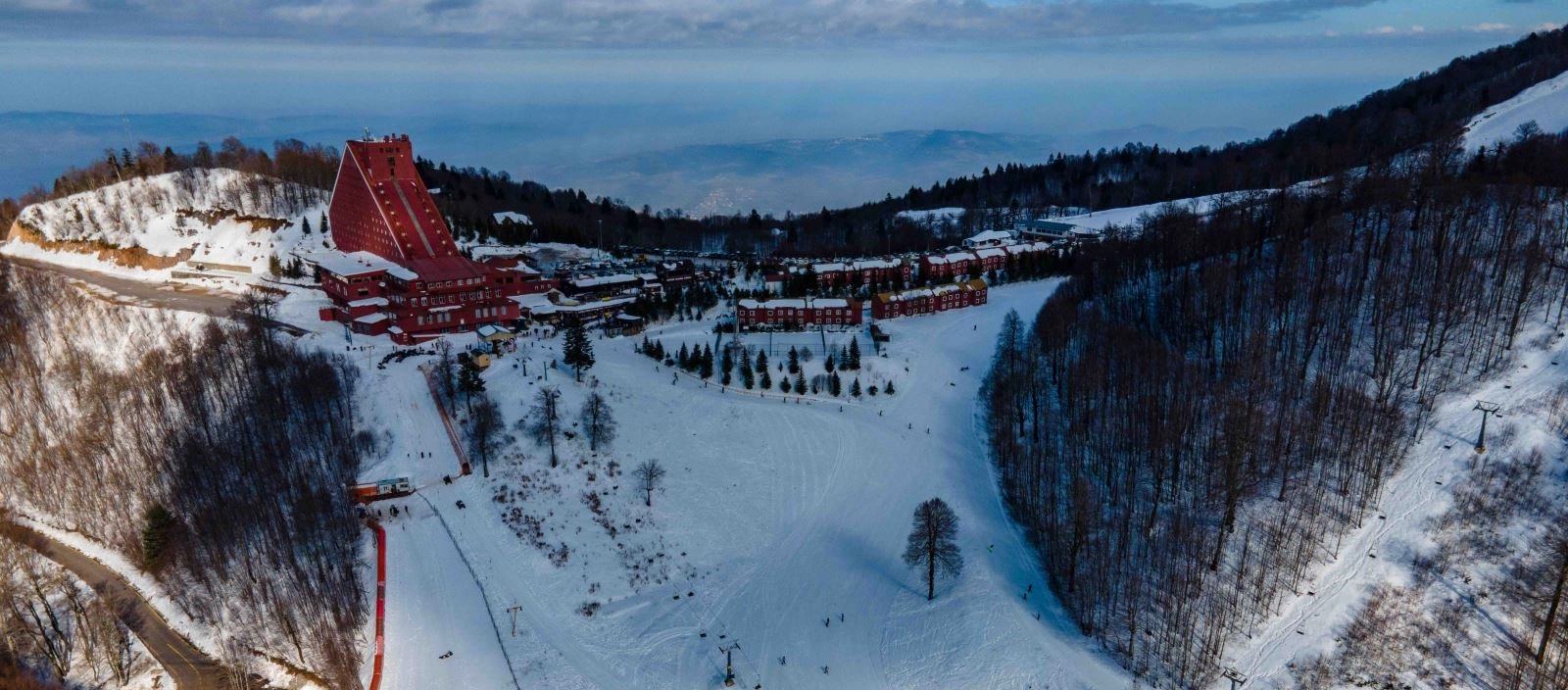
Climb higher into the Samanlı Mountains for panoramic views, forest scenery and seasonal mountain recreation.
Explore Kartepe Ski Center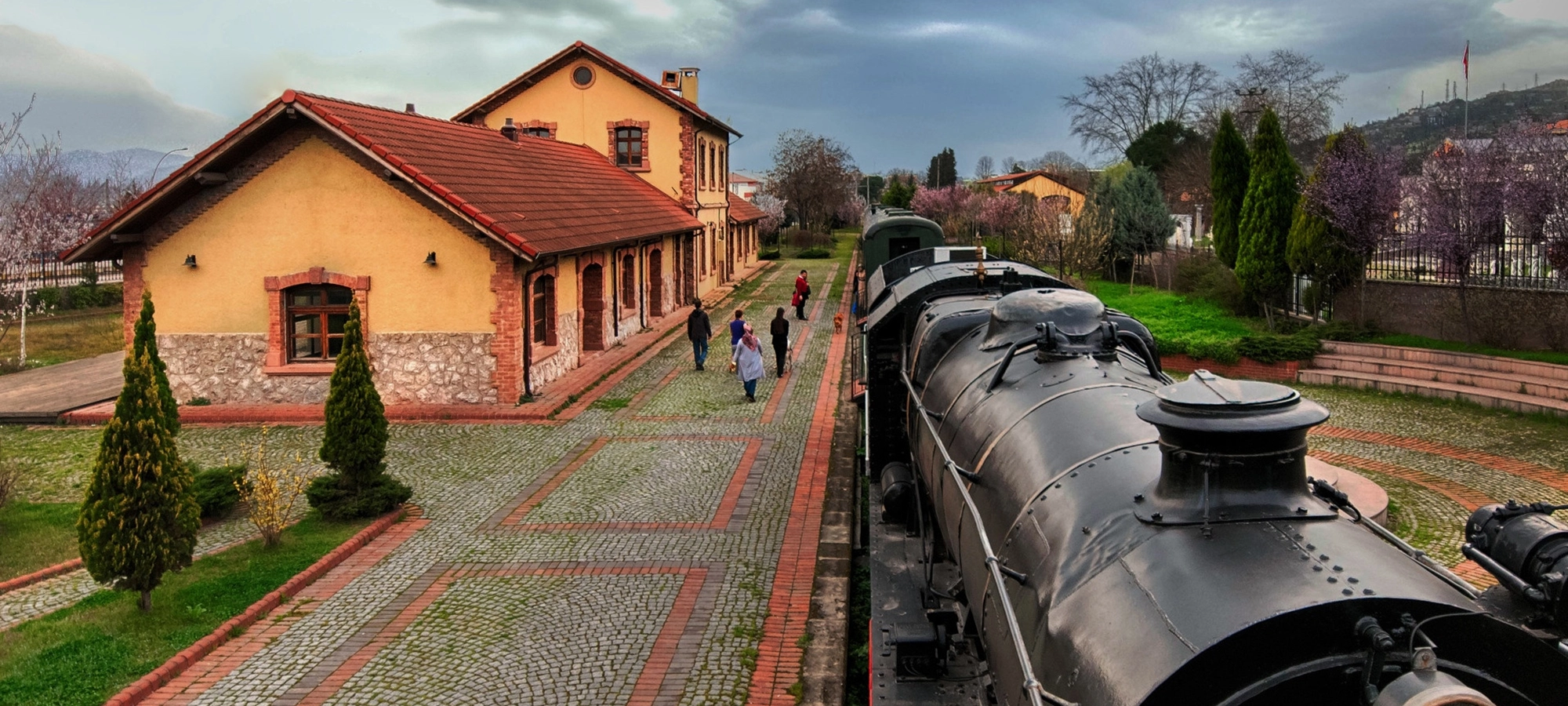
Return to the Gulf and explore the railway history and late Ottoman architecture of İzmit.
Explore Historical İzmit Train Station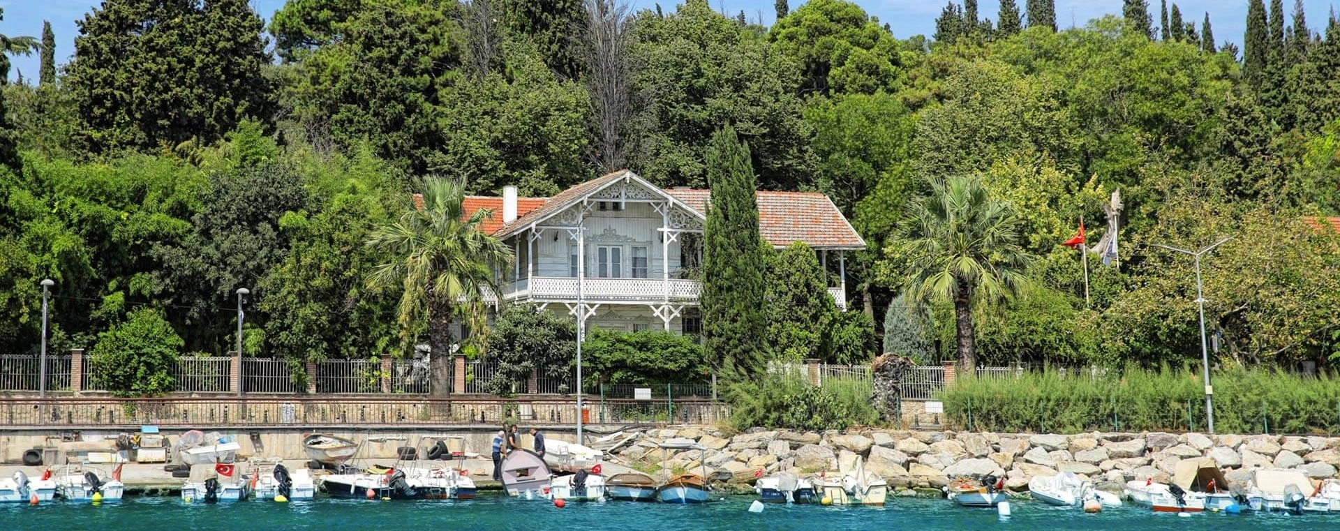
Discover the Eskihisar home of the pioneering painter, archaeologist and museum director Osman Hamdi Bey.
Explore Osman Hamdi Bey House Museum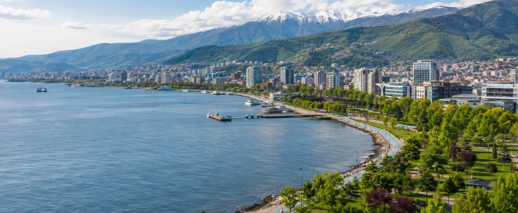
Discover ancient Nicomedia, Ottoman heritage, Gulf landscapes, forests, waterfalls, museums and mountain escapes across Kocaeli.
Discover Kocaeli