Private Darkale Historic Village Programme
Tell us your dates, group size and interests. We will check access and plan a sensible route.
Request Your Private Programme





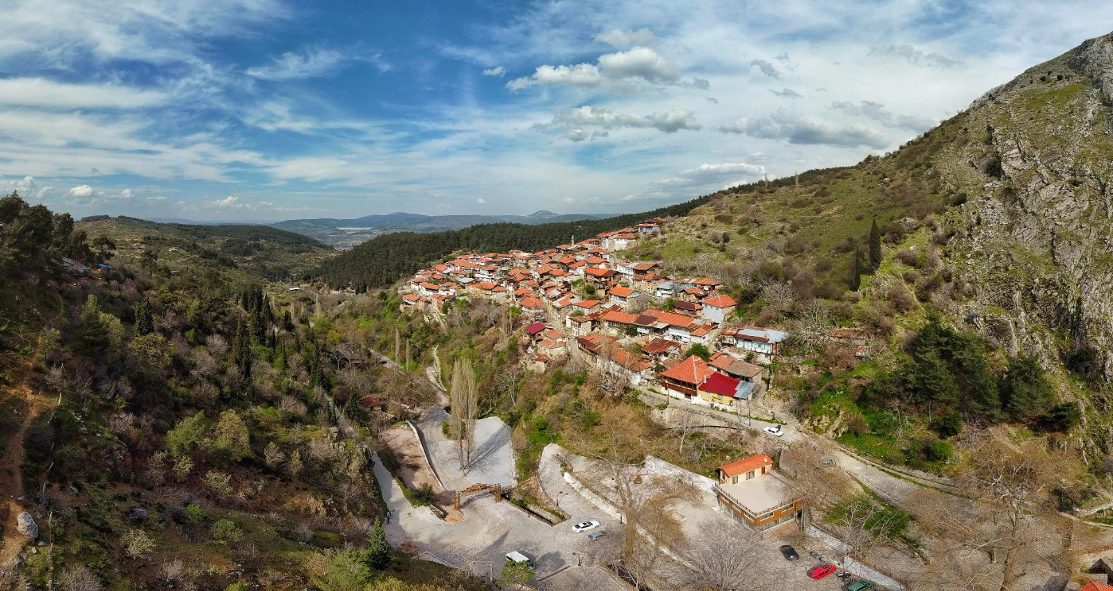
Darkale, also known historically as Tarhala, lies in a deep valley close to Soma. Its old houses, stone lanes and wooded slopes feel far removed from the industrial identity usually associated with the district.
The settlement has a long history, but the most immediately visible fabric is the traditional townscape: houses with stone lower levels, timber elements and projecting upper floors.
Darkale remains a lived place, not a stage set. A respectful visit values the residents, their privacy and the ongoing challenge of maintaining old buildings.
Many houses use stone at ground level and timber in upper storeys, sometimes with projecting bays.
The tight street pattern follows the valley’s topography.
The historic mosque and nearby water feature are part of the settlement’s social geography.
The wooded and rocky landscape explains the village’s sheltered character and offers context for photography and walking.
Essential orientation for an informed visit.
Darkale neighbourhood, Soma, Manisa
Historic village and cultural landscape
Historic settlement; Ottoman-era townscape
Manisa Province, western Türkiye
Allow 1–2 hours
Living village; private houses are not attractions
Darkale reveals a different history of Manisa: vernacular architecture, village life and the long relationship between settlement and landscape.
It is a valuable contrast with the monumental mosques of Manisa city and the industrial centre of Soma.
Local histories connect the area with the ancient and medieval settlements of the Bakırçay region. Its later importance was tied to trade, crafts and local administration.
Darkale’s traditional houses and streets survived as Soma developed into a larger modern centre. Outmigration left some historic buildings vacant or vulnerable.
Municipal and community initiatives have sought to conserve the settlement. Darkale is recognised as an urban conservation area, but protection does not mean every structure is restored or safe to enter.
The setting of Darkale Historic Village is Darkale neighbourhood, Soma, Manisa. The relationship between the local terrain, historic movement and the surrounding settlements is important when planning a visit.
This historic village and cultural landscape is one element of a larger Manisa itinerary. Think about how its surroundings influenced the way people used the place, rather than separating it from the roads, communities and landscape around it.
Many houses use stone at ground level and timber in upper storeys, sometimes with projecting bays. Observe from public streets without entering private property.
The tight street pattern follows the valley’s topography. It creates beautiful views but also demands careful walking.
The historic mosque and nearby water feature are part of the settlement’s social geography. Check access and respect worship.
The wooded and rocky landscape explains the village’s sheltered character and offers context for photography and walking.
Manisa's story extends from the Gediz Plain and the slopes of Mount Spil to the Yunt Mountains and the northern districts. Darkale Historic Village adds a particular perspective on this diversity, and its importance is clearer when the surrounding province is considered.
A thoughtful itinerary pairs sites by theme and geography rather than rushing between distant places. See the Manisa travel hub for a broader view of the province's archaeological, natural and Ottoman heritage.
Look at the houses as working domestic spaces, not simply picturesque façades. Doorways, storage levels and street widths reflect everyday life.
Conservation is an ongoing process. Do not confuse an abandoned building with a public museum or assume it is structurally safe.
Many houses use stone at ground level and timber in upper storeys, sometimes with projecting bays.
The tight street pattern follows the valley’s topography.
The historic mosque and nearby water feature are part of the settlement’s social geography.
The wooded and rocky landscape explains the village’s sheltered character and offers context for photography and walking.
Facilities can be limited. Carry water, wear sturdy shoes and do not count on a staffed visitor centre.
Ask permission before photographing residents or entering any private garden or building. Avoid unstable ruins and narrow traffic routes.
These resources provide historical background or current visitor information. Check directly before travelling, as conditions can change.
Spring and autumn are comfortable for walking; summer can be hot and winter rain makes steep stone lanes slippery.
For photographs of Darkale Historic Village, start with a wide frame that includes the surroundings. Then choose details that reveal the character of the historic village and cultural landscape without obstructing other visitors.
Use only lawful viewpoints and respect people, religious activity, wildlife and protected surfaces. Ask permission for portraits, and do not move or touch historic material for a photograph.
Steep cobbled streets and uneven surfaces make full access difficult. A short lower-lane visit may be more practical than a complete walk.
The destination is associated with Darkale neighbourhood, Soma, Manisa. Confirm the actual public entrance or meeting point with an up-to-date map; a generic place pin may not mark the best approach.
For a multi-stop Manisa day, plan transport according to the actual distance between sites. Historic streets, rural roads and mountain access can require more time than a straight-line map suggests.
Mining heritage, Bakırçay landscape and Darkale. Consider the travel time and access arrangements before combining the stops.
Melon country, historic mosques and Yortan archaeology. Consider the travel time and access arrangements before combining the stops.
An Aeolian city high in the Yunt Mountains. Consider the travel time and access arrangements before combining the stops.
Archaeology, art and life across Manisa. Consider the travel time and access arrangements before combining the stops.
Darkale is a historic neighbourhood in a valley close to Soma, in northern Manisa Province.
Its traditional stone-and-timber houses, narrow lanes, historic mosque and valley setting.
No. It is a living settlement with private homes and protected historic buildings.
Not without permission. Many are private, vacant or potentially unsafe.
One to two hours is a useful estimate for a respectful walk and photographs.
Yes. The historic village and Soma town are close enough to combine in a northern Manisa itinerary.
Follow official paths, barriers and directions; do not enter closed buildings or excavations.
Never touch carved surfaces, collect artefacts or climb fragile masonry.
Ask before photographing residents, worshippers or workers; keep private entrances clear.
Carry away rubbish and avoid disturbing wildlife, vegetation or historic material.
Ask Wow Cappadocia / Venere Travel to design a private, tailor-made route with a licensed guide and suitable vehicle, subject to confirmed access, with no compulsory shopping stops.
Combine heritage, village culture and landscapes at your own pace.
Tell us your dates, group size and interests. We will check access and plan a sensible route.
Request Your Private Programme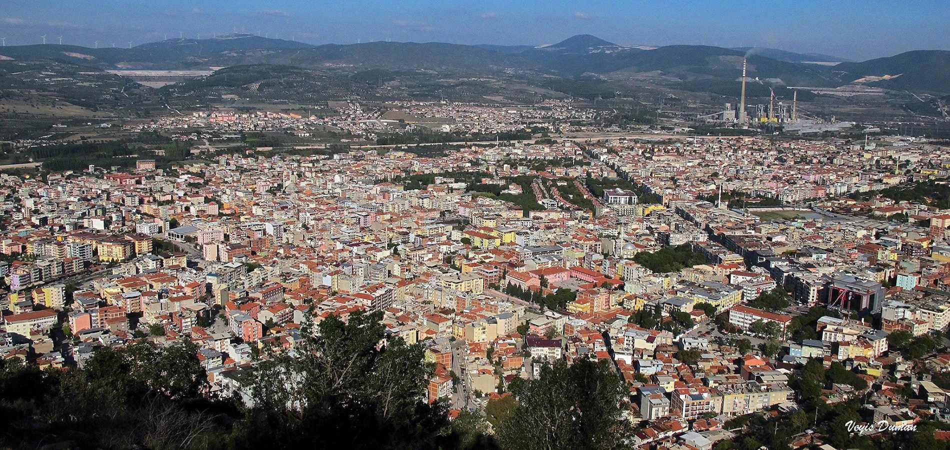
Mining heritage, Bakırçay landscape and Darkale. Continue your journey with a related destination.
Read the Nearby Guide