Ancient Bisanthe
The modern settlement is identified with Bisanthe, an ancient coastal city whose history reaches back to the Classical period.
- Period: Classical antiquity onward
- Setting: Northern Marmara coast
- Character: Coastal settlement






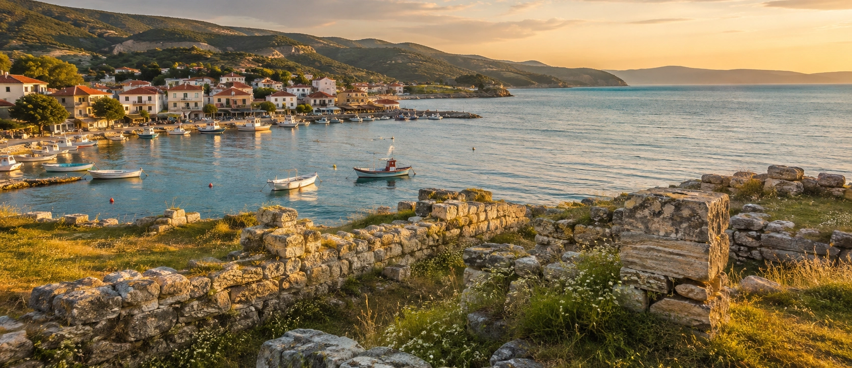
Just southwest of Tekirdağ city, the waterfront settlement of Barbaros occupies a coast that has been inhabited for more than two thousand years. Beneath and around the modern town lie the remains of Ancient Bisanthe, a small but strategically placed settlement on the northern shore of the Sea of Marmara.
Ancient sources and archaeological discoveries connect Bisanthe with the wider Greek and Thracian world of the 5th and 4th centuries BC. The settlement later developed through the Roman and Byzantine periods, leaving traces that include fortification walls, inscriptions, pottery, workshops and the remains of a medieval church.
Today, Barbaros is not a monumental archaeological park with columns and reconstructed streets. Its history is more subtle. Ancient layers lie beneath the living town, while archaeological remains can be found especially around the coast, cemetery area and Madenler locality.
This combination of ancient history, fishing-town atmosphere, beaches, Marmara views and working maritime life makes Barbaros an interesting stop for travelers exploring Tekirdağ beyond the better-known city center.
Explore the location identified with one of the ancient coastal settlements founded by colonists from Samos.
Discover evidence ranging from Classical-period ceramics and inscriptions to Late Roman and Byzantine remains.
Walk beside the sea through a settlement whose history has always been shaped by its coastal position.
Experience a place where archaeology survives within a modern fishing, residential and port landscape.
Essential information for visiting one of the most historically layered coastal settlements near Tekirdağ.
Barbaros lies on the Sea of Marmara in Süleymanpaşa District, approximately 9–10 km southwest of central Tekirdağ.
Open Barbaros on Google MapsThe site is identified with ancient Bisanthe, while later historical names associated with the settlement include Panion, Panidos and Banados.
Finds include Classical pottery and inscriptions, ancient and Byzantine walls, workshops, storage spaces and a 13th-century church.
Ancient Bisanthe, Marmara coastline, fishing-town atmosphere, archaeological remains and a long maritime tradition.
The modern town stands over an archaeological landscape shaped by Greek colonists, Thracian rulers, Roman and Byzantine communities, Ottoman settlement and modern maritime life.
The ancient settlement identified with Bisanthe developed on the northern shore of the Propontis, the ancient name for the Sea of Marmara. Its coastal position placed it on maritime routes connecting Thrace with the Aegean, the Marmara islands and the approaches to the Bosphorus.
Official archaeological and historical sources associate Bisanthe with colonists from Samos, part of the wider movement that established Greek settlements along the Marmara coast. The exact date of foundation is uncertain, but the settlement is documented within the historical landscape of the 5th century BC.
Bisanthe was also connected with the Odrysian Thracian kingdom. Ancient literary traditions place it among the coastal cities associated with the Thracian ruler Seuthes, showing that the settlement belonged to a frontier zone where Greek maritime culture and inland Thracian power interacted.
Archaeological evidence demonstrates that occupation continued long after the Classical period. Remains belonging to the Late Roman and Byzantine eras show that the settlement expanded and remained important enough to possess fortifications, workshops, storage buildings and churches.
The settlement continued into the Ottoman period under names including Banados, before eventually becoming modern Barbaros. Today, the town still occupies the same favorable coastal setting that first gave ancient Bisanthe its importance.
Barbaros is valuable not because of a single spectacular monument, but because many historical layers survive within the landscape of a living Marmara town.
The modern settlement is identified with Bisanthe, an ancient coastal city whose history reaches back to the Classical period.
The Madenler area has yielded black-painted and burnished ceramics dating to the 5th century BC, while inscriptions and carved stone monuments provide further evidence of ancient occupation.
Sections of walls identified near the shoreline and west of the modern settlement help reveal the size and defensive character of Bisanthe during the Late Roman and Byzantine periods.
Excavations south of the cemetery area documented the remains of a church dated to the 13th century, confirming an important medieval Christian layer at Barbaros.
Test excavations near the modern harbor uncovered workshops, small working spaces and storage rooms, offering a glimpse into the economic life of the historic settlement.
The shoreline remains the defining feature of Barbaros, connecting the modern town with the maritime geography that shaped ancient Bisanthe.
A stone formation running parallel to the coast is known locally as the “Kral Yolu” or “King's Road” and has inspired one of the best-known legends associated with the Barbaros shoreline.
Fishing, small-scale coastal life and the nearby presence of Asyaport create a striking contrast between the old settlement and Tekirdağ's modern maritime economy.
Bisanthe belonged to a chain of ancient settlements established along the northern shore of the Propontis. This coastline formed a natural corridor linking the Aegean world, the Marmara islands, Thrace and the waterways leading toward the Black Sea.
Historical sources connect the foundation of Bisanthe with Samians — settlers from the Aegean island of Samos. While the exact foundation date remains uncertain, archaeological material confirms occupation during the Classical period.
The city's position gave it both commercial and strategic value. It faced the open Marmara while also standing close to routes leading inland through Thrace. Ancient references associate the city with the political world of the Odrysian kingdom, demonstrating that Bisanthe was not isolated from the powerful Thracian states controlling the interior.
The precise identification of ancient place names along this coast has long been debated, but archaeological evidence increasingly supports locating Bisanthe in and around modern Barbaros.
One of the most fascinating aspects of Barbaros is the way its name changed over the centuries. Official cultural sources record a sequence in which ancient Bisanthe was later associated with the names Panion and Panidos, while Ottoman documents record forms such as Banados.
These names reflect the long life of a settlement that did not simply disappear after antiquity. Instead, the same coastal location continued to be inhabited, rebuilt and renamed as political powers, languages and communities changed around the Sea of Marmara.
Because ancient and medieval place-name identification can be complex, travelers should think of Barbaros not as a perfectly preserved ancient city with one uninterrupted label, but as a multi-period settlement landscape whose archaeological and historical identities overlap.
The Classical-period name most strongly associated with the ancient settlement beneath and around modern Barbaros.
Names recorded in later historical traditions for the coastal settlement or closely associated occupation in the same area.
A historical form found in Ottoman-period records for the settlement that developed here after Byzantine rule.
The modern name of the coastal neighborhood in Süleymanpaşa District, Tekirdağ.
The archaeological importance of Barbaros comes from the fact that remains survive across several locations rather than inside one enclosed excavation park. The ancient city lies partly beneath the modern settlement, making archaeology and everyday urban life inseparable.
Among the most significant areas are the Madenler locality, the cemetery zone and the coastline. Archaeological investigations have documented material belonging to different periods, demonstrating that settlement continued for centuries.
The Madenler area is especially important for 5th-century BC black-painted and burnished pottery. Other finds from Barbaros include Greek inscriptions and a high-relief marble funerary stele depicting a horseman, dated to the 4th century BC.
Later archaeological layers reveal the persistence of the settlement into the Byzantine world. Wall sections, church remains and excavated working areas show that this was still an active coastal community many centuries after the Classical period.
Black-painted and polished ceramics provide important evidence for Classical-period occupation.
Greek inscriptions and a carved marble horseman stele are among the notable finds associated with Barbaros.
Fortification remains and settlement traces reveal substantial occupation in the later ancient and medieval periods.
A church discovered in excavation provides direct evidence for medieval Christian life at the site.
Test excavations carried out by the Tekirdağ Archaeology Museum between 2013 and 2015 revealed part of an ancient settlement close to the modern harbor.
The excavated remains included several workshops, small working areas and storage rooms. These discoveries are especially valuable because they reveal aspects of ordinary economic activity rather than only monumental architecture.
The investigations also contributed to understanding how the settlement expanded during the Byzantine period. A substantial part of the excavated zone was subsequently protected as a first-degree archaeological site.
For visitors, this helps explain why Barbaros should be approached as a landscape of archaeology. The ancient city is not concentrated into one dramatic ruin field; its remains are distributed through coastal slopes, protected areas and modern streets.
Archaeological work shows that Barbaros remained an important settlement during the Late Roman and Byzantine periods. The urban area appears to have expanded, while defensive walls protected parts of the coastal settlement.
Excavations in 2006, south of the cemetery area west of the town, documented a church dating to the 13th century. Together with Byzantine inscriptions and structural remains noted in and around Barbaros, this church demonstrates the persistence of a Christian community here deep into the medieval period.
The Byzantine remains are particularly important because they bridge the gap between ancient Bisanthe and the later settlement known under names such as Panidos and Banados.
Some of the most important archaeological objects associated with Barbaros were transferred to the Tekirdağ Archaeology and Ethnography Museum. These include Greek inscriptions and a high-relief marble stele with a horseman figure dating to the 4th century BC.
This makes the museum an excellent companion visit to Barbaros. The town itself provides the archaeological landscape, while the museum helps visitors understand the material culture of ancient settlements across Tekirdağ Province.
See archaeological finds from Tekirdağ and its surrounding ancient settlements, including material associated with Barbaros.
A high-relief marble monument dated to the 4th century BC is among the important finds connected with Barbaros.
Epigraphic finds help document the ancient communities that lived along this part of the Marmara coast.
The museum also displays material from other important archaeological sites throughout Tekirdağ Province.
Modern Barbaros still looks toward the sea. Fishing, local boats, beaches and waterfront life preserve the maritime character that has defined this location since antiquity.
The shoreline is especially pleasant for a relaxed walk. Rather than expecting a polished resort, visitors should come for a more local atmosphere: neighborhood streets, small-scale coastal activity, views across the Sea of Marmara and reminders that people have lived beside this water for centuries.
In summer, Barbaros becomes livelier as residents and visitors use the local beaches. Outside the main season, the atmosphere is quieter and can feel more appropriate for travelers interested in photography, archaeology and the everyday character of the coast.
Follow the shoreline and harbor area for sea views and a sense of Barbaros as a working coastal settlement.
Fishing remains part of the local identity and continues the long relationship between the settlement and the Marmara.
Local beaches attract visitors during warm weather and can be combined with a historical stop in the town.
Late-afternoon light over the Marmara can be especially atmospheric along the waterfront.
Along the Barbaros coast, a stone formation running roughly parallel to the shoreline is popularly known as the Kral Yolu, or “King's Road.” It is one of the best-known pieces of local folklore in the Süleymanpaşa area.
Stories told in Tekirdağ connect the road with a romantic legend involving a king, a princess and a road built beneath the shallow water. Versions of the story differ, as oral traditions often do, but the Kral Yolu remains strongly associated with local memory and the identity of the Barbaros coast.
Travelers should distinguish the legendary interpretation from archaeology. The romantic story is an important part of local cultural heritage, but it should not be presented as established proof of an ancient royal road.
The maritime importance of the Barbaros coast did not end with antiquity. Immediately nearby, Asyaport has transformed the area into one of Türkiye's major container and transshipment centers.
The port began operations in 2015 and was developed as a large-scale container hub. Its cranes and commercial shipping create a dramatic modern counterpart to the much older maritime history of Bisanthe.
For travelers, Asyaport is primarily an industrial facility rather than a tourist attraction. Its significance lies in the wider story of Barbaros: for more than two millennia, this part of the Marmara coast has continued to derive importance from its relationship with the sea.
Mild temperatures make spring excellent for walking the coast, exploring Tekirdağ and visiting archaeological locations without summer heat.
The waterfront and beaches are livelier, making it easy to combine local history with time by the Sea of Marmara.
Softer light and fewer beach crowds create good conditions for photography and a slower historical visit.
Barbaros becomes quiet and atmospheric, although wind, rain and rough Marmara weather may limit time outdoors.
Barbaros offers a distinctive mix of archaeological landscape, fishing-town details, Marmara light and modern maritime infrastructure. The strongest photographs often come from contrasts rather than monumental ruins.
Photograph boats, shoreline details and the relationship between the town and the Sea of Marmara.
Use wider compositions to show how ancient remains survive within the modern settlement rather than isolating individual stones.
When sea conditions reveal the stone formation clearly, it can create atmospheric coastal compositions.
Small boats and harbor activity add human scale and connect the modern town with its long maritime tradition.
Late-afternoon light can add warmth and depth to the coastline, especially when the Marmara is calm.
Frame the traditional waterfront against distant modern port infrastructure to show the changing maritime identity of Barbaros.
Barbaros lies southwest of central Tekirdağ on the coastal road toward Kumbağ. The journey is short, making Barbaros easy to combine with museums and historic landmarks in the city center.
A car, taxi or private vehicle provides the greatest flexibility, especially if you plan to continue farther along the Marmara coast. Local public transportation between Tekirdağ, Barbaros and Kumbağ may also be available.
Travelers approaching from Istanbul can reach Tekirdağ first and then continue southwest along the coast. Those planning a wider regional journey can continue from Barbaros toward Kumbağ, Uçmakdere, the Ganos Mountains and Şarköy.
For a full-day journey, continue west after Barbaros toward Kumbağ, Uçmakdere and the Ganos Mountains, combining ancient history with one of Tekirdağ's most scenic coastal drives.
Bisanthe is not a monumental ruin field. Visit for the archaeological landscape and historical context rather than rows of standing columns.
The Tekirdağ Archaeology & Ethnography Museum helps make sense of the finds and periods represented at Barbaros.
Do not cross fences, enter excavation zones or move archaeological material.
A visit may involve ordinary streets, uneven coastal ground and archaeological terrain rather than paved visitor paths.
The waterfront can be exposed, especially during summer when shade may be limited.
Marmara weather can be breezy, particularly outside midsummer and along open sections of the coast.
Enjoy stories such as the Kral Yolu legend, but do not confuse local folklore with archaeologically proven facts.
Barbaros makes more sense when you experience the sea as well as the archaeology; the coast explains why settlement persisted here.
Barbaros works especially well as part of a broader Tekirdağ day including the museum, city center and western Marmara coast.
Use public spaces and avoid photographing local residents at close range without permission.
Barbaros sits in an excellent position for combining archaeology with Tekirdağ city, the Marmara coast and the Ganos landscape farther west.
Explore the provincial capital's waterfront, museums, Ottoman heritage and celebrated local food.
See archaeological finds that help place Barbaros and Bisanthe within the wider history of Thrace.
Visit one of Tekirdağ's most important Ottoman monuments, associated with the age of Mimar Sinan.
Continue west for forests, mountain roads, sea views, villages, hiking and one of the region's most dramatic landscapes.
Compare Bisanthe with another major ancient settlement founded on the Marmara coast of Tekirdağ.
Continue along the coast toward a popular local seaside settlement before heading into the Ganos region.
Barbaros can easily be combined with a meal focused on the food traditions of Tekirdağ and the Sea of Marmara.
Seasonal fish is a natural choice in a coastal settlement with a longstanding fishing tradition.
Simple seafood dishes complement a relaxed waterfront visit, depending on seasonal availability.
Try the province's best-known savory specialty before or after your visit to Barbaros.
Finish with one of Tekirdağ's characteristic desserts, made traditionally with fresh unsalted cheese.
Barbaros is a coastal neighborhood of Süleymanpaşa District, approximately 9–10 km southwest of central Tekirdağ on the road toward Kumbağ.
Archaeological evidence and official cultural sources identify the area around modern Barbaros with ancient Bisanthe, although the precise geography of ancient place names along this coast has been discussed by scholars.
Ancient and modern historical sources associate Bisanthe with colonists from Samos in the Aegean.
The exact foundation date is uncertain, but archaeological finds demonstrate occupation in the Classical period, including pottery from the 5th century BC.
Visitors should expect a dispersed archaeological landscape rather than a monumental excavated city. Remains and finds are associated with the coast, cemetery area and Madenler locality, while important objects are preserved in the Tekirdağ museum.
Yes. Archaeological work has documented Byzantine settlement areas, wall remains and a church dated to the 13th century.
Test excavations near the modern harbor uncovered workshops, small working spaces and storage rooms, providing evidence for the everyday economic life of the historic settlement.
Important finds include 5th-century BC black-painted ceramics, Greek inscriptions and a 4th-century BC high-relief marble stele showing a horseman, together with later Roman and Byzantine remains.
The Tekirdağ Archaeology & Ethnography Museum preserves archaeological material from Barbaros and other ancient sites in the province.
Bisanthe stood within ancient Thrace and was connected politically with the Odrysian world, while its foundation tradition is associated with Greek settlers from Samos. It therefore belonged to a region shaped by both Greek coastal and Thracian inland cultures.
Historical sources associate the settlement with later names including Panion, Panidos and Banados before the modern name Barbaros became established.
No. It is a protected archaeological settlement area integrated into and around the modern town rather than a fully excavated archaeological park with a single entrance.
There is no single visitor entrance for the entire ancient settlement. Individual protected or excavation areas may have restricted access, so visitors should remain in public areas unless official access is clearly provided.
The Kral Yolu is a stone formation along the coast associated with a popular local legend. The story forms part of local folklore and should not be confused with archaeologically proven history.
Barbaros has a local beach and becomes more active in summer. Sea conditions can vary, so follow current local safety information before swimming.
Barbaros is approximately 9–10 km southwest of central Tekirdağ, making it an easy short excursion by road.
Yes. Barbaros can be included in a day trip to Tekirdağ from Istanbul, especially when combined with the city center, archaeology museum and local food.
Yes. Barbaros lies on the coastal route leading west toward Kumbağ, Uçmakdere and the Ganos Mountains, making it a natural first stop on a longer scenic journey.
Yes. Visiting Barbaros and Marmara Ereğlisi together creates an excellent archaeological theme focused on ancient coastal settlements of Tekirdağ and the Sea of Marmara.
Around 1–2 hours is enough for a focused historical and waterfront visit. Allow half a day if you also plan to visit the Tekirdağ museum or stop for a meal by the coast.
Spring and autumn are especially comfortable for archaeology and walking, while summer is best if you also want to enjoy the beach and a livelier waterfront atmosphere.
Barbaros can be included in a tailor-made private journey through Tekirdağ combining archaeology, museums, coastal scenery, local food and the wider Marmara landscape.
Explore ancient Bisanthe and the Tekirdağ coast at your own pace with a flexible private route designed around history, archaeology and local culture.
Ask us about a tailor-made visit combining Barbaros, the archaeological landscape of Bisanthe, the Tekirdağ museum and the Marmara waterfront.
Request a Custom Tour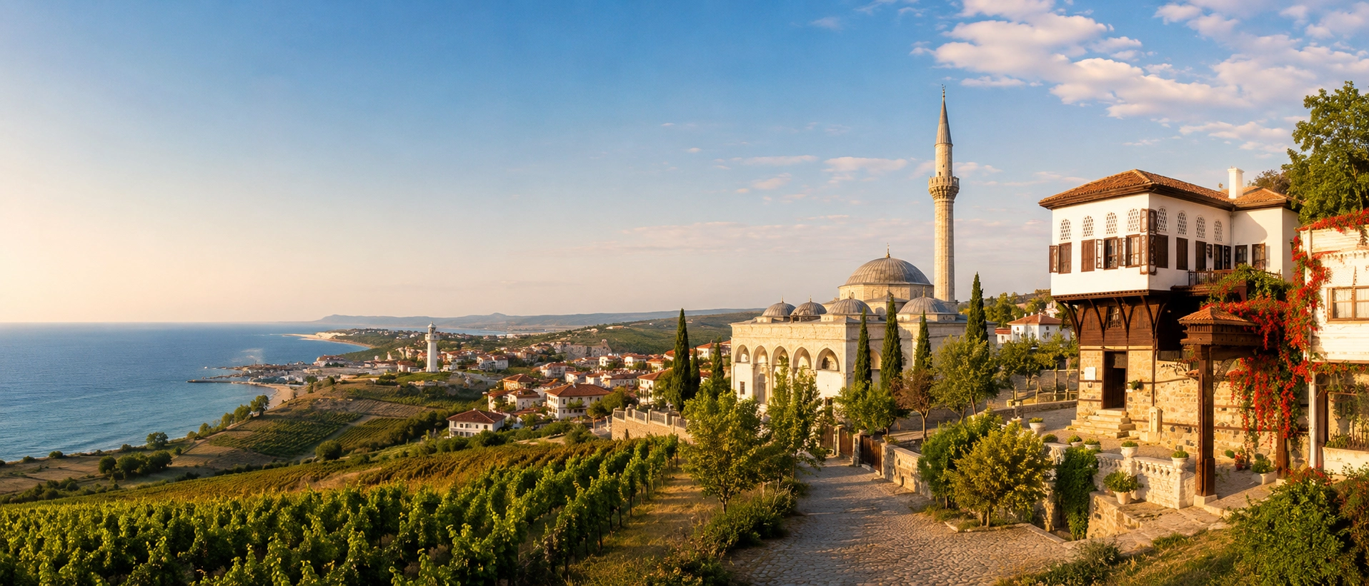
Continue your visit with our Tekirdağ guide covering museums, Ottoman monuments, waterfront sights and regional cuisine.
View Tekirdağ GuideExtend the journey west into the Ganos Mountains or east toward Ancient Perinthos for a deeper exploration of Tekirdağ's coastal history.
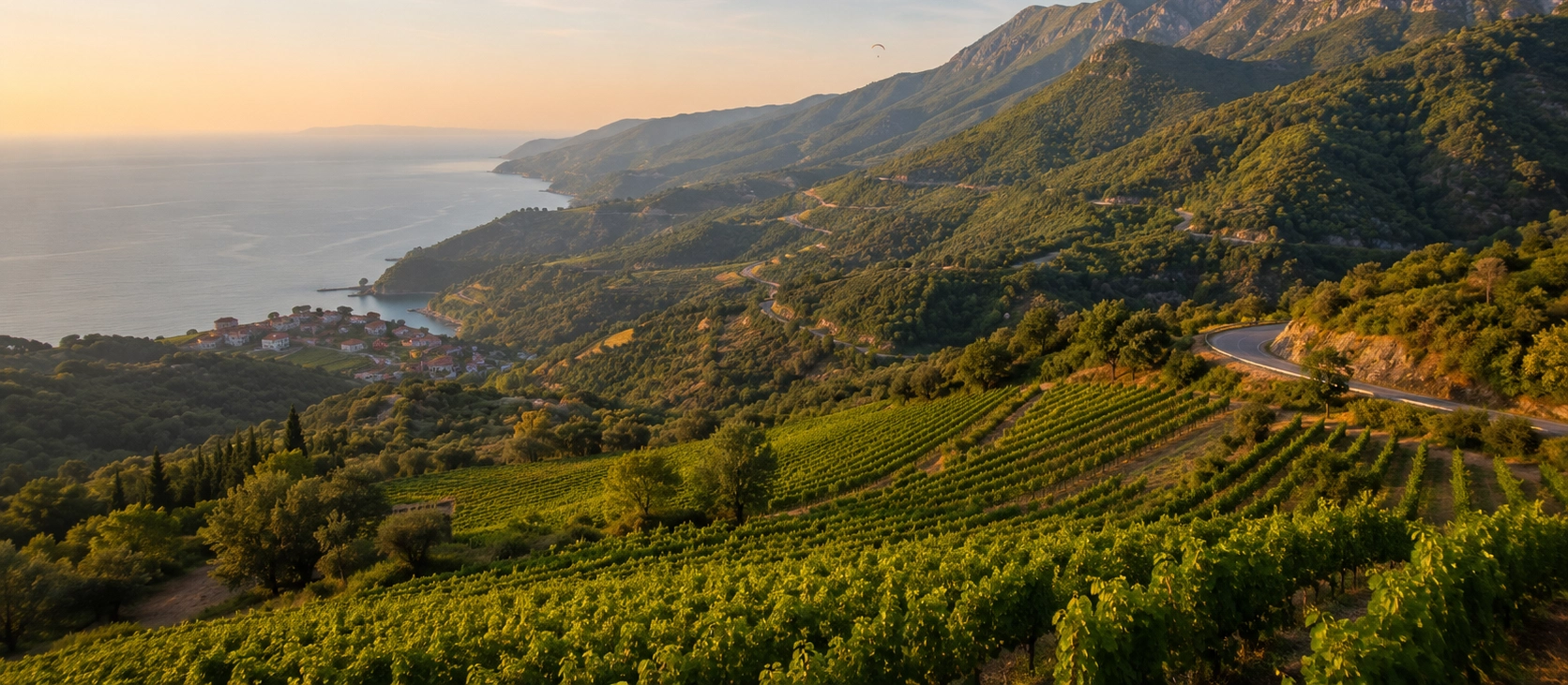
Continue west for forested mountains, village landscapes, panoramic viewpoints and one of the most scenic roads in Tekirdağ.
View Ganos Mountains Guide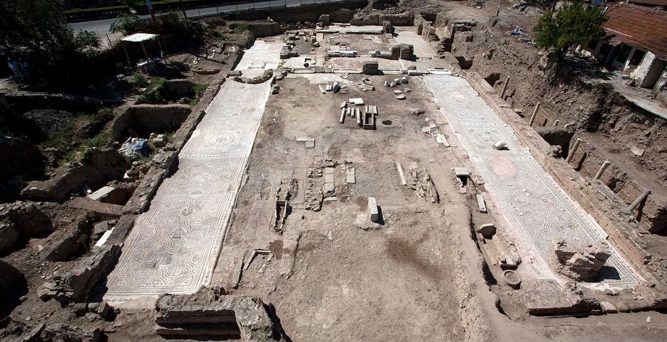
Compare Bisanthe with another major ancient city of the Marmara coast and explore the archaeological heritage of Perinthos.
View Ancient Perinthos Guide