Private Kula Fairy Chimneys Experience
Share your dates, group size and interests. We will propose a sensible route and confirm access before booking.
Request Your Private Programme





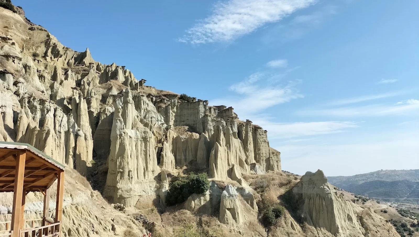
Kula has its own fairy chimneys, but their story should not be reduced to a copy of Cappadocia. Here, erosion has carved towers and slender pillars from relatively soft deposits, sometimes leaving a more resistant stone cap on top.
These formations belong to the diverse Kula–Salihli UNESCO Global Geopark. They show what happens after rocks and sediments are laid down: rain, runoff and weathering selectively remove the weaker material.
The shapes are fragile and constantly changing. The best visit is from an established viewpoint where the whole slope can be seen without walking among unstable pillars.
Some pillars are topped by harder rock that slows erosion directly beneath it.
Channels between formations show where runoff concentrated and carried sediment downhill.
Look for tall capped towers, shorter columns and slopes where erosion has removed former shapes.
Nearby volcanic features help explain why Kula’s geology is more varied than a single rock formation.
Useful orientation before planning a visit.
Kula district, Manisa
Erosional geological formations
Sedimentary erosion after deposition
Soft sediment slopes with resistant caps
45–90 minutes for a designated viewpoint
Confirm current entry and route conditions before travel
The fairy chimneys are an easy-to-read example of differential erosion and a visually memorable contrast to black lava.
They reward patient observation: the most interesting detail is the relationship between capstones and softer supporting material.
The geological sequence begins with the accumulation of layers with different resistance to erosion. Water and gravity then remove softer material more rapidly than the protective caps.
As surrounding slopes lower, narrow pillars remain temporarily standing. Eventually the cap may fall and the remaining column erodes further.
The fairy chimneys are one feature of a much larger geopark that also includes lava flows, volcanic cones, basalt columns and river canyons.
Soft ground can crumble near edges, and rainfall can make paths slippery. Never assume a dry-looking slope is stable.
The formations change over time. A viewpoint seen in an older photograph may not have identical shapes today.
Some pillars are topped by harder rock that slows erosion directly beneath it.
Look at this feature in relation to the broader setting rather than as an isolated photo opportunity.
Channels between formations show where runoff concentrated and carried sediment downhill.
Small construction or geological details can tell a different story from the broad panorama.
Look for tall capped towers, shorter columns and slopes where erosion has removed former shapes.
What is visible today may reflect more than one historical period or natural process.
Nearby volcanic features help explain why Kula’s geology is more varied than a single rock formation.
Interpret this feature alongside the other highlights, while respecting current access limits.
Manisa brings together Lydian history, the Seven Churches of Revelation, Ottoman architecture, craft villages and volcanic geology. Kula Fairy Chimneys offers a particular window into that varied region.
For a coherent itinerary, choose neighbouring sites by theme and geography rather than trying to cover the whole province in a single day.
Identify where a capstone protects the material beneath it and compare that column with an unprotected slope.
Avoid attributing every pillar to a volcanic eruption. Erosion is the direct sculptor even when volcanic material is present in the wider landscape.
Some pillars are topped by harder rock that slows erosion directly beneath it.
Channels between formations show where runoff concentrated and carried sediment downhill.
Look for tall capped towers, shorter columns and slopes where erosion has removed former shapes.
Nearby volcanic features help explain why Kula’s geology is more varied than a single rock formation.
Stay behind barriers and on established paths. Do not stand on top of columns or walk in erosion gullies.
A short visit pairs well with other Kula geosites, but check the exact viewing location rather than relying on a broad district map.
Begin at a designated panoramic viewpoint, compare capped and uncapped pillars, and look for channels that explain the erosion.
Continue to Divlit or the basalt columns to contrast erosional and volcanic landforms.
Stable, dry weather is preferable. Heavy rain can accelerate erosion and create dangerous footing.
Use side light to reveal the textures and shadows of the pillars. Avoid stepping into fragile formations for a close-up.
Some viewpoints may be roadside while others involve uneven paths. Verify the safest accessible option before travelling.
Kula fairy-chimney formations are within the Kula district geopark landscape. Use current official geosite directions for the selected viewpoint.
Explore Kula–Salihli UNESCO Global Geopark as a complementary stop. Check travel time and access before combining sites.
Explore Divlit Volcanic Park as a complementary stop. Check travel time and access before combining sites.
Explore Kula Basalt Columns as a complementary stop. Check travel time and access before combining sites.
Yes. Kula has erosion-shaped pillar formations within the Kula–Salihli UNESCO Global Geopark.
Rain and runoff eroded softer deposits while more resistant caps protected parts of the underlying material.
They share an erosion-based appearance, but their local geology, setting and development differ.
Only where clearly authorized; unstable slopes and fragile formations make off-route walking unsafe.
A viewpoint visit may take 45 to 90 minutes, excluding travel between geosites.
Divlit Volcanic Park, basalt columns and historic Kula make excellent complementary stops.
Respect signs, barriers and any directions from site staff.
Do not touch, climb, carve or dislodge capstones. Even small disturbances can permanently damage fragile pillars.
Keep entrances clear and ask before photographing residents or worshippers.
Carry away rubbish and avoid disturbing vegetation, rocks or historic material.
Wow Cappadocia / Venere Travel can plan a private, tailor-made route with a licensed guide and suitable vehicle, subject to confirmed access and without compulsory shopping stops.
Combine archaeology, living culture and natural landscapes at your preferred pace.
Share your dates, group size and interests. We will propose a sensible route and confirm access before booking.
Request Your Private Programme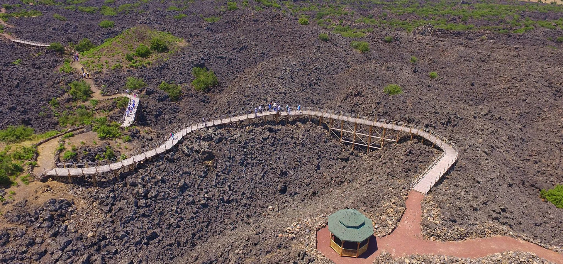
Discover a related destination and plan a route with realistic travel times.
Read the Nearby Guide