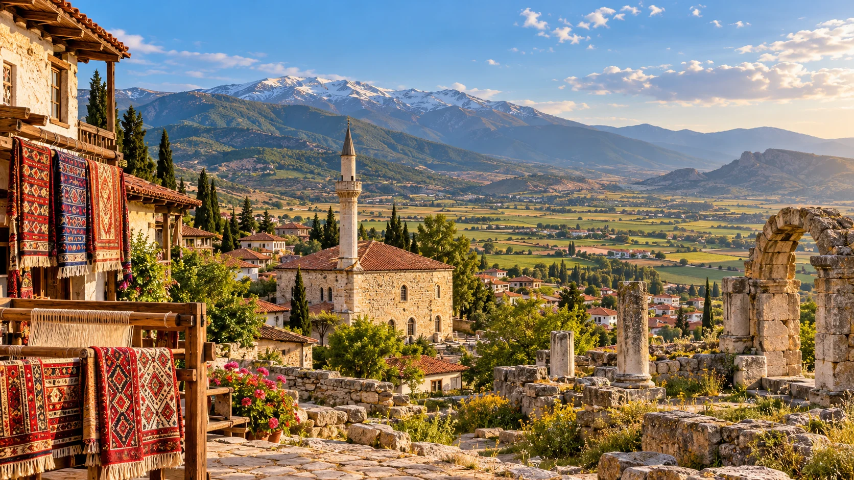
Tavas, Denizli
Discover neighbouring Tavas, its traditional crafts, rural culture and historic landscape.
Explore This Guide →





Rising above the highlands between Denizli and Muğla, Sandıras Mountain is one of southwestern Türkiye’s most compelling natural landscapes. Its summit, widely known as Çiçekbaba, approaches 2,300 metres, while its northern slopes preserve glacial valleys and the celebrated waters of Kartal Gölü (Eagle Lake).
Ancient Anatolian black pines stand near rare alpine plants adapted to mineral-rich serpentine soils. The mountain is equally important to regional culture: the Eren Günü tradition connects Çiçekbaba with generations of Yörük and Türkmen communities.
Visitor access requires care. The officially protected Kartal Lake Nature Conservation Area lies under Muğla’s conservation administration even though Beyağaç in Denizli is a popular approach. DKMP states that entry without permission is forbidden. This guide explains what makes the mountain special and how to plan responsibly.
Ice Age cirques, valleys and moraine landforms.
Rare high-elevation old-growth forest.
Endemic plants on serpentine soils.
Çiçekbaba, Eren Dede and Yörük traditions.
Important geography, protected-area rules and realistic travel planning in one place.
Southwestern Türkiye, Denizli–Muğla highlands
Beyağaç district
Approximately 2,295 m
Çiçekbaba
Kartal Gölü (Eagle Lake)
About 1,903 m
Pleistocene glacial valleys and moraines
Ancient Anatolian black pines
Serpentine-adapted and endemic mountain flora
Kartal Lake Nature Conservation Area
23 December 1994
Reserve listed under Köyceğiz, Muğla
Unauthorised reserve entry prohibited
Only as authorised for the specific route
Variable weather, possible snow and closures
DKMP Muğla: +90 252 223 03 09
Most visitors associate Denizli with Pamukkale, but Sandıras Mountain presents a very different landscape: high ridges, wind-shaped black pines, glacial landforms and the quiet cultural geography of Yörük communities. The mountain is often approached from Beyağaç in southern Denizli, although its slopes and protected areas extend into neighbouring Muğla.
It is especially compelling for travellers interested in geography, geology, ecology and local traditions. On the northern slopes, ancient ice carved valleys and left ridges of glacial debris. Around Kartal Lake, long-lived Anatolian black pines survive at high altitude, while above the forest line specialised mountain plants grow on rocky ground.
This is not a standard roadside attraction or a guaranteed open hiking park. The Kartal Lake Nature Conservation Area has special access restrictions. A memorable visit begins with permission, a safe approach plan and realistic expectations.
Nature lovers, botanists and landscape enthusiasts
Glacial valley, high lake and old-growth pines
Çiçekbaba and the Eren Günü tradition
Permission and mountain conditions come first
Sandıras Dağı, also written Sandras Dağı, rises in southwestern Türkiye at the edge of the Gölgeli Mountains. It forms part of a landscape connecting the interior plateau around Beyağaç, Denizli, with the forested mountains above Köyceğiz, Muğla. Different sides of the mountain can therefore be described using either province.
The summit zone is frequently called Çiçekbaba. In geographical literature the mountain rises to about 2,295 metres; some references round this to 2,294 or approximately 2,300 metres. Kartal Gölü is below the crest on the northern slopes, around 1,903 metres above sea level.
A useful geographic distinction concerns administration. Denizli tourism materials promote the lake via Beyağaç, whereas the current official DKMP listing places Kartal Gölü Tabiatı Koruma Alanı within Köyceğiz district of Muğla. Both descriptions can be correct when they refer to access and administration respectively.
Gölgeli Mountains / southwestern Anatolia
Beyağaç district
Köyceğiz district
2,295 m
You may encounter Sandıras Dağı, Sandras Dağı and Çiçekbaba Dağı in maps, academic studies and local tourism materials. The first two are alternative spellings. Çiçekbaba is closely connected with the mountain’s summit and local spiritual traditions.
English-language geographical studies sometimes identify the mountain as Mount Sandras or Mount Sandıras. The name Ulugöl Tepe identifies a separate high point in the summit area and should not automatically be treated as another name for the highest peak.
When arranging transport or seeking permission, use the most specific destination—such as Kartal Gölü Tabiatı Koruma Alanı or the authorised Çiçekbaba route—rather than asking a driver simply to “go to Sandıras”. The massif is extensive, and approaches are not interchangeable.
Sandıras Dağı
Sandras Dağı
Çiçekbaba / Eren Baba
Ulugöl Tepe (reported around 2,261 m)
Kartal Gölü (Eagle Lake) lies in a high mountain basin on the northern side of Çiçekbaba, at approximately 1,903 metres. The setting combines open grassland, rocky slopes and stands of remarkably old Anatolian black pine. For many travellers, this is the image most closely associated with Sandıras Mountain.
The lake is best explained as part of an Ice Age glacial valley. Official Denizli cultural material describes it as a moraine-dammed lake: glacial debris helped form a barrier behind which water collected. Although some local visitor descriptions loosely use the word “crater”, the research on the mountain identifies glacial rather than volcanic landforms.
The lakeshore is an exceptionally sensitive environment. Its value does not make it an ordinary swimming, picnic or camping site. Visits and activities inside the nature conservation area require authorisation; confirm what your permit covers before entering.
About 1,903 m
Glacial basin and moraine deposits
Alpine meadow and black pine forest
Protected, restricted entry
During the colder periods of the Pleistocene, snow accumulated on the upper slopes of Sandıras Mountain. Where snowfall exceeded melting over extended periods, glaciers formed and moved downslope. Their weight eroded the bedrock and transported rock fragments, leaving landforms that can still be studied today.
Geographer Mehmet Doğan identified glacial evidence on the northern and northeastern slopes, extending in places to approximately 1,900 metres. The study identifies the Kartal Lake Valley, Northwest Valley and Middle Valley as important areas for cirques and moraine deposits.
These are relict glacial forms, not evidence that a modern glacier still operates beside the lake. Understanding this distinction turns a mountain panorama into a visible record of much colder climatic conditions.
Pleistocene / last glacial cycle
Cirques and moraine ridges
Northern and northeastern slopes
Around 1,900 m
Sandıras is striking because of its relatively low latitude and elevation compared with many better-known glaciated Turkish mountains. Published geographical research describes glacial forms here at some of the lowest elevations documented in Türkiye.
Its position near the Mediterranean mattered. Moist weather systems could deliver substantial snowfall when the climate was colder, allowing glaciers to develop and persist on suitably oriented slopes. North-facing terrain also helped conserve snow and ice.
The academic value lies in the combination of altitude, aspect, precipitation and preserved landforms. A visitor need not be a geologist to appreciate the story, but researchers and educational groups should respect the protected boundaries and obtain any required fieldwork permissions.
Last Glacial Maximum
Moist Mediterranean weather systems
North-facing slopes
Erosion and glacial sediments
The mountain’s famous Anıt Karaçam Ormanı—literally “Monumental Black Pine Forest”—is one of the region’s most remarkable natural features. Instead of a uniform young plantation, it includes old Pinus nigra individuals shaped over long periods by snow, wind, drought and shallow mountain soils.
Denizli’s official tourism materials describe trees ranging from several centuries old to individuals estimated at more than a thousand years. Exact ages differ across published accounts, depending on the trees studied and methods used. It is more accurate to speak of exceptional old-growth forest than to claim that every pine is a fixed age.
Such trees are living archives of mountain climate and landscape change. Visitors should not carve bark, collect branches or walk over exposed root zones. The forest is protected precisely because this habitat cannot be recreated quickly once damaged.
Anatolian black pine (Pinus nigra)
Centuries-old individuals
High-elevation old growth
Do not disturb trees, roots or soil
Sandıras changes dramatically with altitude and slope direction. Lower elevations support Mediterranean and transitional forests and shrubs, while higher slopes have stands of conifers, rocky grassland, open ridges and specialised alpine vegetation. Some north-facing areas retain snow much longer than the valleys below.
The landscape provides habitat for birds, small mammals, insects and other mountain wildlife, but visitors should not expect an organised animal-viewing experience or guaranteed sightings. Disturbance from vehicles, loud music, feeding animals or off-path walking can have a disproportionate effect in sensitive mountain zones.
For natural history enthusiasts, the richest experience is often the contrast between ancient trees, sparse rocky vegetation and snow-influenced communities. Take photographs and notes rather than collecting specimens; scientific collecting requires appropriate permission.
Forest, alpine meadow and rocky slopes
Altitude and slope exposure
Quiet, low-impact nature study
Do not collect plants or wildlife
Much of Sandıras is associated with ultramafic and serpentine-derived rocks. These materials can weather into soils with unusual mineral balances and low nutrient availability. Not all plants tolerate such conditions, which helps explain why the mountain supports distinctive vegetation communities.
Botanical research published in Bocconea describes Sandıras as a notable centre of serpentine-associated high-mountain vegetation. Researchers have documented specialised species and plant communities associated with rocky ground, melting snow and summer dryness.
For travellers, the lesson is simple: the apparently bare, stony slopes may be among the most botanically interesting parts of the region. Plants can be small and easily crushed. Stay on paths explicitly permitted by the protected-area managers, and never remove flowers as souvenirs.
Ultramafic / serpentine-related rocks
Difficult mineral and nutrient balance
Specialist, sometimes endemic flora
View and photograph; never collect
An endemic plant is one naturally found in a limited geographic area. Sandıras has attracted botanical attention because several species have restricted ranges and some are named after the mountain itself. This richness is linked to its complex geology, elevations and isolation.
Botanical literature identifies taxa associated with Sandıras, including species and plant communities bearing the sandras- name. However, taxonomic classifications and conservation assessments can change. Publishing a simple tally of “all endemic species” without a date and survey boundary risks being misleading.
The most responsible way to explore the mountain’s flora is with a qualified naturalist under the site’s rules. A precise location for a rare plant should not become an invitation for unrestricted collecting or trampling.
Restricted-range flora
Serpentine soils, altitude and aspect
Guided botanical interpretation
No picking or specimen collecting
Çiçekbaba is more than a high place on a map. The summit landscape has an important place in regional Yörük and Türkmen cultural memory. Local accounts connect it with a respected spiritual figure often called Eren Dede or Çiçek Baba.
The traditions involve visiting a sacred location, making prayers or wishes, and gathering with relatives and neighbouring communities. Such practices are part of living intangible heritage; they are best described as local beliefs and ceremonies, not as historical proof of a precisely dated individual’s life.
A visitor approaching the summit should be especially mindful of cultural as well as environmental boundaries. Treat shrines, ritual areas and gatherings with respect, and never assume that an annual celebration makes the surrounding protected land freely accessible at other times.
Çiçekbaba
Eren Dede / Eren Baba
Yörük–Türkmen gatherings
Respect ceremonies and restrictions
Eren Günü is a traditional event associated with the Kartal Lake and Çiçekbaba landscape. The Turkish Ministry of Culture’s cultural atlas describes local Yörük–Türkmen gatherings maintained over many generations, with people meeting on the mountain, visiting one another and making a commemorative ascent.
The cultural account describes a visit to the Eren Dede sacred site around dawn, prayers and shared meals as parts of the tradition. Beyağaç Municipality has also organised the celebration as a festival since the 1990s. The event connects families from the Denizli and Muğla sides of the mountains.
Do not build travel plans around an assumed annual date or access arrangement. The 2026 programme, permissions, transport arrangements and visitor conditions must be checked with the municipality and conservation authority. Festival practices do not replace protected-area regulations.
Intangible Yörük–Türkmen tradition
Kartal Lake / Çiçekbaba
Summit gathering and remembrance
Check each year’s official programme
The Beyağaç–Köyceğiz highlands belong to a wider region where pastoral movement and seasonal use of mountain landscapes have shaped local stories and customs. Yayla is a Turkish term for highland summer pasture or settlement, and the idea is central to many Anatolian mountain communities.
Traditional clothing, shared meals, group travel and oral stories are part of the cultural setting. It is important, however, to distinguish a living cultural community from a staged attraction: residents should not be treated as exhibits, and photographs of people or ceremonies require permission.
Visitors interested in the human history of the region may enjoy spending time in Beyağaç town and learning about the traditions through local cultural contacts, even when access to the upper mountain is restricted.
Yayla and pastoral traditions
Denizli and Muğla highlands
Local cultural conversations
Ask before photographing people
The mountain is not a single uniformly managed national park. It includes different landscapes and land-management regimes. The most relevant to visitors is Kartal Gölü Tabiatı Koruma Alanı—Kartal Lake Nature Conservation Area—established to safeguard old-growth black pines, glacial landforms and the alpine basin.
The Directorate of Nature Conservation and National Parks (DKMP) lists the area under Muğla / Köyceğiz administration and explicitly states that entry without permission is prohibited. The current ecological portal gives an area of approximately 1,343 hectares; older provincial documents and tourism pages give nearby but different area totals, likely reflecting differing designations or records.
It would therefore be incorrect to market the lake as a freely accessible public picnic site, or to promise 24-hour access. Rules can differ by sub-area, activity and season. Obtain confirmation from the responsible authority rather than using an outdated online review as a substitute.
Kartal Gölü Tabiatı Koruma Alanı
23 December 1994
DKMP Muğla
Prior permission required
For the protected lake and old-growth forest, contact the Muğla Provincial Directorate of Nature Conservation and National Parks before arranging transport. Ask whether your intended activity is permitted, whether an application or written approval is necessary, which access route to use, and whether a ranger or authorised guide must accompany the group.
The official nature-tourism listing gives +90 252 223 03 09 and [email protected]. These are provincial conservation contacts, not a guarantee that every request will be approved. Check the official portal for changes before travelling.
Also distinguish lake access, summit trekking, photography, commercial guiding, drone use and overnight camping; permission for one does not automatically authorise another. If you cannot confirm entry, choose alternative places around Beyağaç rather than entering a protected site without approval.
DKMP Muğla
+90 252 223 03 09
Date, route, group size and activity
A common approach is to travel from Denizli toward Kale and continue to Beyağaç, which serves as the principal northern gateway to Sandıras and Kartal Lake. The district centre is a useful place to verify local road and mountain conditions, secure suitable transport and confirm any access authorisation.
Older tourism listings give differing distances for the final mountain approach, depending on whether the measurement starts from town, the forestry road or a particular trailhead. Avoid relying on a fixed drive time or on an ordinary car navigation app to determine if the road is passable.
The high route may involve rough or unsealed sections, and snow, rain, forestry operations or protected-area closures can affect passage. Public transport may get you to Beyağaç or Kale, but it should not be assumed to continue to the lake or summit.
Beyağaç, Denizli
Denizli → Kale → Beyağaç
Verify road and vehicle suitability
Does not guarantee mountain access
Sandıras is also a prominent feature of the high country inland from Köyceğiz in Muğla. This geographical connection can be confusing: an approach discussed in a hiking report from the Muğla side might not connect easily with an itinerary designed from Denizli.
Do not assume that named yaylas, fire roads or trail segments are open to recreational vehicles. Some tracks serve forestry, pastoral or conservation functions rather than public tourism. The correct route depends on season, destination, vehicle and land-management permissions.
When planning a crossing between provinces, ask a knowledgeable local operator about legal access and the current condition of the particular track. A route that appears short on a map can involve substantial mountain driving or may be closed.
Köyceğiz / Muğla
Beyağaç / Denizli
Unsealed tracks and closures
Confirm a specific legal approach
Sandıras offers appealing terrain for experienced walkers: long views, alpine vegetation, exposed upper slopes and the possibility of interpreting Ice Age landforms. However, the appropriate question is not merely how long a trail is, but whether the route is permitted and currently safe.
Internet GPS tracks may pass through protected zones or unmarked terrain. Do not follow a downloaded route blindly. Get the relevant permissions, check the intended trailhead and junctions, and take a suitable map or offline navigation system with a backup plan.
Above the forest, weather can change abruptly. Loose stone, poor visibility, lightning, strong wind and early or late snow can make even a moderate-looking slope difficult. A qualified mountain guide is preferable for visitors unfamiliar with the area.
Rocky paths and exposed high ground
Carry offline mapping and backup
Permission before GPX planning
Appropriate footwear and mountain judgment
The upper crest is one of the major attractions for experienced hikers, but a summit outing is a mountain objective, not a promise of a short walk from an easily reached car park. Starting points and ascents vary, and route lengths published online depend on the approach.
The summit zone is linked with the Eren Dede tradition, so cultural sensitivity is as important as outdoor safety. Avoid walking through ceremonial areas during gatherings or disturbing stones and objects associated with local practice.
Check whether your proposed summit path crosses the protected conservation area, obtain any approvals and confirm current conditions. Do not attempt a winter ascent without appropriate training, equipment and local support.
Approximately 2,295 m
High-altitude trekking
Çiçekbaba sacred traditions
Route-specific authorisation and safety check
Late spring through early autumn can offer milder highland conditions, but access at nearly 2,000–2,300 metres is very different from weather in Denizli city or along the coast. Snow may linger in sheltered areas, and mountain road conditions can vary by year.
Summer generally offers longer daylight for nature interpretation, yet strong sun, dehydration and sudden thunderstorms remain concerns. Spring brings fresh growth but may also mean unstable weather or restricted tracks. Autumn can be clear and beautiful while bringing colder nights and shorter days.
Winter conditions can be severe, with snow, ice, wind and limited emergency access. No season overrides the need for written or clearly confirmed protected-area permission.
Potential greenery; check lingering snow
Longer daylight; sun and storms
Cooler temperatures; shorter days
Specialist conditions; possible closures
Carry layered clothing that can handle strong wind and a marked temperature drop. Suitable trekking shoes, sun protection and waterproof outerwear are basic needs. A navigation backup, charged phone and small first-aid kit are sensible even for a short authorised visit.
Bring enough drinking water and food for the group. Do not depend on a spring, café, toilet, mobile-phone signal or fuel supply at the high mountain sites unless someone responsible has verified their current availability.
Plan to leave with everything you brought. This includes food scraps, tissues and all packaging. A low-impact trip matters especially where delicate alpine soils and very old trees can be affected by repeated trampling.
Layers, boots and rain/wind protection
Water, food, navigation and first aid
Shops, toilets or phone signal
No waste or damaged vegetation
Photographs and festival histories show tents at Kartal Lake, and some older travel pages describe recreational camping. These observations must not be taken as current authorisation. The relevant area is a designated nature conservation reserve whose official visitor information prohibits unauthorised entry.
Camping, fires, vehicle access and organised events should each be checked directly with DKMP. The permissions for an officially sanctioned cultural event may be different from those for independent visitors. Never light a fire, establish a camp or park off-road without the necessary approval.
Visitors looking for a conventional overnight stay are better served by making accommodation arrangements in a suitable town or an officially permitted campsite outside restricted zones.
No assumed right to camp
Do not light without explicit authorisation
May use special arrangements
Approved accommodation outside restricted areas
When you have confirmed lawful access, Sandıras offers layered compositions: the smooth shape of Kartal Lake, weathered pine trunks, terraced glacial slopes and the open summit skyline. A wide lens can communicate landscape scale, while a longer lens can isolate ancient trees without approaching their roots.
Keep to authorised routes and avoid standing on fragile shoreline vegetation to secure a photograph. Shooting at dawn or sunset creates additional safety and permission questions because visibility is lower and any access hours or escort conditions must still be respected.
Drone flights are a separate activity with aviation and protected-area rules. Obtain the necessary approvals and do not assume that an ordinary camera permit allows commercial filming or drone use.
Lake, cirques, ridge lines and forest
Black pine bark and alpine plants
Shoot from authorised paths
Check drone and commercial filming rules
Highland environments can look robust from a distance, but their recovery from physical damage is often slow. Old-growth pines, mountain meadows and serpentine plant communities deserve particular care, and human activity must remain within the rules set by conservation authorities.
Do not collect flowers, remove stones, carve trees, disturb wildlife, wash equipment in the lake or drive across open ground. Avoid noisy gatherings outside authorised events. Respect pastoral activities and private or working land as well as formally protected reserves.
The most meaningful principle is to enjoy the view and the knowledge, not to leave evidence that you were there. If the area is closed, respecting the closure is part of responsible travel.
Look, never pick
Use permitted routes only
Keep lake and streams clean
Respect ceremonies and local people
The upper Sandıras landscape involves remote roads, uneven stony surfaces, slopes and changing weather. It should not be described as a wheelchair-accessible attraction without a verified accessible itinerary for the particular area and date.
Visitors with mobility limitations should ask the relevant authority whether an approved viewpoint can be reached safely by vehicle, how far the permitted walking route extends and whether assistance or accessible facilities exist.
Facility availability is uncertain and may vary by season. Even travellers planning only photography should be prepared for a self-sufficient mountain outing or choose easier-to-reach alternatives near Beyağaç.
Rocky and uneven
Route-specific and conditional
Do not assume availability
Ask for current accessible options
For older children interested in nature, Sandıras can illustrate how glaciers shape mountains, how trees adapt to altitude and why some habitats receive strict protection. The experience can be educational when supervised, legally arranged and appropriate to the group’s capabilities.
Families should be particularly cautious about cold wind, slippery terrain, altitude-related fatigue, roadside drops and long distances from services. Children should remain within sight of an adult at all times, especially near steep slopes and water.
A family trip does not need to reach the lake or summit to be successful. A gentler cultural day around Beyağaç, with explanations of the mountain’s natural history, may be a better choice if permitted access or transport cannot be arranged.
Glaciers, trees and local heritage
Nature-curious families with preparation
Supervise near water and edges
Lower-elevation Beyağaç outing
Beyağaç offers a practical cultural context for the mountain. The district sits in the Eskere Plain and maintains strong associations with Yörük traditions. It is also where local information about the mountain and annual cultural activities is most likely to be useful.
Official district accounts mention Eşen Göleti as a recreational and water landscape in the district. Conditions and permissible activities there should be checked locally; it is a different site from the protected high-altitude Kartal Lake basin.
A visit can therefore focus on regional scenery and culture even when the mountain’s most sensitive conservation area is unavailable. Allow sufficient time to return to Denizli or continue toward Kale and Tavas without rushing mountain-road travel.
Beyağaç
Eskere Plain
Eşen Göleti
Local road and event information
Sandıras works best as a dedicated nature day rather than a hurried detour added after a full visit to Pamukkale. The high roads, possible permission arrangements and walking conditions require flexible scheduling.
A wider southwest Türkiye itinerary can link the cultural geography of Beyağaç with Kale and historic Tabae, the traditions of Tavas, or another separate day exploring Pamukkale and Hierapolis. Each destination has a different type of heritage and different travel demands.
For a mountain-focused trip, decide first whether the required access has been confirmed. If it has, keep the remainder of the day relatively open. If it has not, build a different day around the region’s towns and officially open attractions.
One flexible nature day
Kale / Tabae heritage
Tavas and rural Denizli
Pamukkale–Hierapolis on another day
1. Before departure: Contact DKMP, explain your exact destination and activities, arrange any required permission and check road and weather conditions. Confirm the vehicle, driver, guide and return plan.
2. Beyağaç stop: Use the district town as a practical point for final information and supplies. If the mountain approach is not authorised or safe, switch to a lower-elevation alternative rather than improvising entry.
3. Authorised nature visit: Follow only approved routes. Depending on the permission and terrain, concentrate on a designated landscape viewpoint, glacial features or forest interpretation. Do not assume that reaching Kartal Lake or the summit is included.
4. Return with daylight: Allow a generous margin for the mountain road, seasonal conditions and stops. Exact driving and hiking times depend on the confirmed route and cannot be promised generically.
Get access authorisation
Check weather and route
Follow approved activities
Build in time and flexibility
Wow Cappadocia can discuss a private, tailor-made southwestern Türkiye itinerary focused on landscapes, geology, regional culture and quieter destinations. A Sandıras request is best treated as a special-interest enquiry, not a guaranteed scheduled excursion.
Our planning conversation can cover your starting point, group size, interests and whether you prefer a cultural outing around Beyağaç or an authorised higher-elevation nature programme. Any protected-area permission, route, guide and vehicle availability must be verified before an itinerary is confirmed.
Send your dates through our contact page. We will aim for an honest, workable plan without promising access to restricted natural areas.
Private and tailor-made
Nature, geology and cultural heritage
Authorisation, weather and transport
Share dates, party size and interests
Clear answers about Kartal Lake, glacial geography, permissions, trekking and regional culture.
Sandıras rises in southwestern Türkiye between the Beyağaç area of Denizli and the Köyceğiz highlands of Muğla. Beyağaç is a commonly used approach from Denizli.
The mountain landscape is associated with both provinces. The official nature-conservation listing places Kartal Lake Nature Conservation Area administratively within Köyceğiz, Muğla, although visitors commonly approach from Beyağaç, Denizli.
Geographical research reports approximately 2,295 metres for the mountain’s highest summit, commonly known as Çiçekbaba.
Sandıras or Sandras names the mountain, while Çiçekbaba is widely associated with the summit and its cultural traditions.
Kartal Lake, or Kartal Gölü, is a high-altitude lake in a Pleistocene glacial landscape, surrounded by ancient black pine habitat and protected as part of a nature conservation area.
Official Denizli heritage sources give approximately 1,903 metres above sea level.
No volcanic origin should be asserted. Geographical research and the Ministry of Culture’s own descriptions identify glacial landforms and a moraine-dammed lake; the word crater appears loosely in some tourism accounts.
The area preserves extremely old Anatolian black pines, including monumental individuals believed to be many centuries old. It is a rare old-growth mountain forest ecosystem.
The famous valleys and moraines are evidence of glaciers that existed during colder Pleistocene periods. They are not evidence of an active glacier at Kartal Lake today.
No. The official DKMP listing warns that entry to Kartal Lake Nature Conservation Area without permission is prohibited. Contact the conservation authority before planning a visit.
Muğla Provincial Directorate of Nature Conservation and National Parks (DKMP), at +90 252 223 03 09 or [email protected], is the contact given in the official conservation-area listing.
Do not rely on generic 24-hour or free-admission listings. Authorisation, routes and any applicable fees or visitor arrangements should be confirmed directly with DKMP.
Do not assume so. Historic accounts and festival photos show tents, but camping inside the protected area requires the relevant authorisation, and unrestricted visitor access is prohibited.
Neither should be assumed permissible. Ask the protected-area authority directly about the specific activity; ecological protection is the priority.
You must not assume that picnics or fires are allowed in a nature conservation area. Check each activity with the authority, and never light a fire without explicit permission.
A summit outing may be possible on an authorised route, subject to mountain conditions. Do not follow online GPX tracks into restricted areas without approval.
The suitability of a vehicle depends on the exact authorised approach and current road conditions. Some mountain routes are rough or unsealed; obtain local route-specific advice.
Public transport may serve Beyağaç or Kale, but you should not assume a bus runs to the high mountain lake or a permitted trailhead.
Weather on the mountain is generally easier in parts of the warmer season, but snow, thunderstorms, road conditions and protected-area rules may affect every month. Confirm conditions for your specific date.
Eren Günü is a long-standing Yörük–Türkmen cultural gathering linked to Kartal Lake, Çiçekbaba and the Eren Dede sacred tradition. Official dates and visitor arrangements should be checked each year.
Yes. Scientific botanical research describes specialised serpentine vegetation and endemic flora. Do not collect plants or leave authorised routes to search for rare specimens.
It can be educational for prepared families when an authorised, suitable route is available. Remote terrain, cold weather and restricted access make it different from a standard family park.
Do not assume any of these are available near the upper mountain. Prepare for a self-sufficient trip and verify facilities in advance.
Drone use may require separate aviation and protected-area approvals. Check with the relevant authorities before bringing or flying a drone.
Sandıras is a high mountain of glacial, forest and botanical interest, whereas Pamukkale–Hierapolis is known for travertine terraces and archaeology. They are different destinations and usually deserve separate planning.
You may enquire about a custom nature and heritage itinerary. All conservation-area access, transport and specialist arrangements must be checked before confirmation.
This article distinguishes verified geography and ecology from local traditions, and separates historical descriptions of visits and events from current conservation rules. The following sources informed the guide:
Conflicting older figures: Published records report slightly different protected-area sizes (including 1,309 and 1,343 hectares), and tree-age estimates vary. The current DKMP nature-tourism page is used here for the reserve’s administrative and visitor-rule details. Descriptions of Kartal Lake as a “crater lake” in some general tourism sources are not treated as proof of volcanic origin.
Continue exploring the varied landscapes and history of inland southwestern Türkiye.
Balance the high mountains with archaeology, town culture and exceptional ancient sites.
Discover neighbouring Tavas, its traditional crafts, rural culture and historic landscape.
Explore This Guide →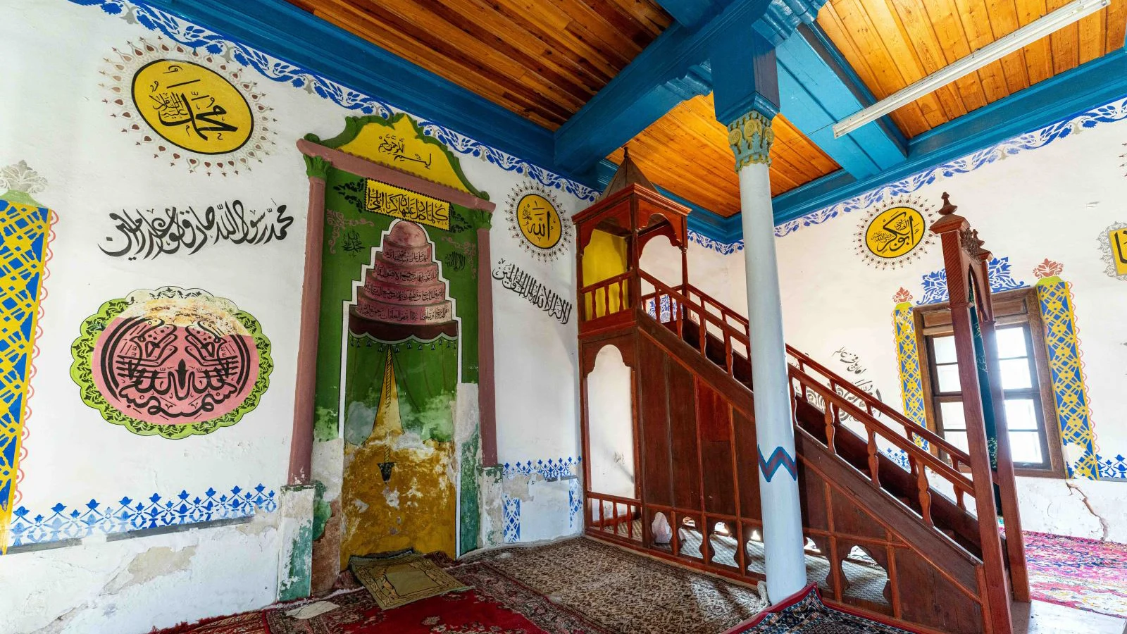
Explore timber architecture and Ottoman painting in ancient Tabae, near Kale.
Explore This Guide →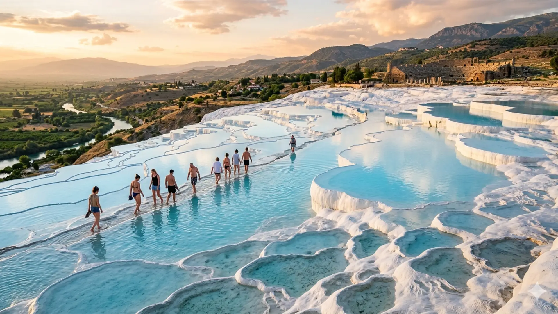
Compare alpine glacial scenery with the travertine terraces and archaeology of Pamukkale.
Explore This Guide →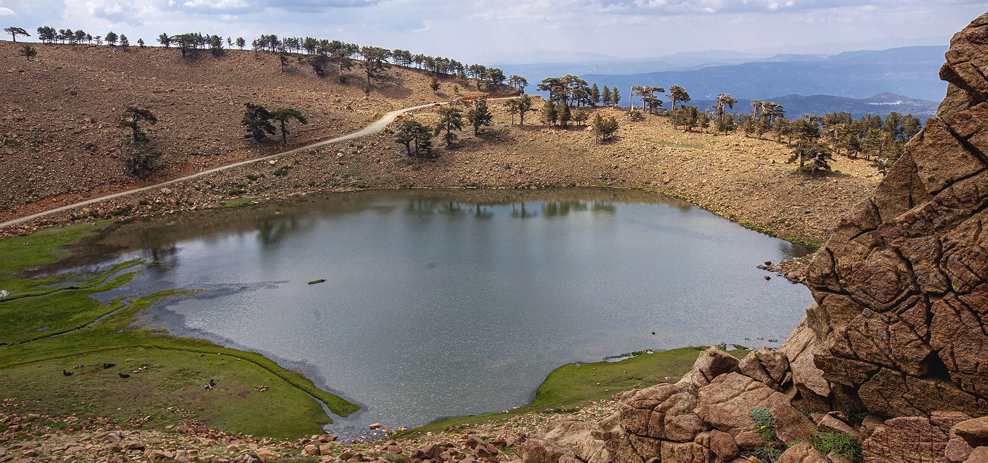
Ask about a tailor-made southwestern Türkiye itinerary with realistic permissions and logistics.
Send an Enquiry →