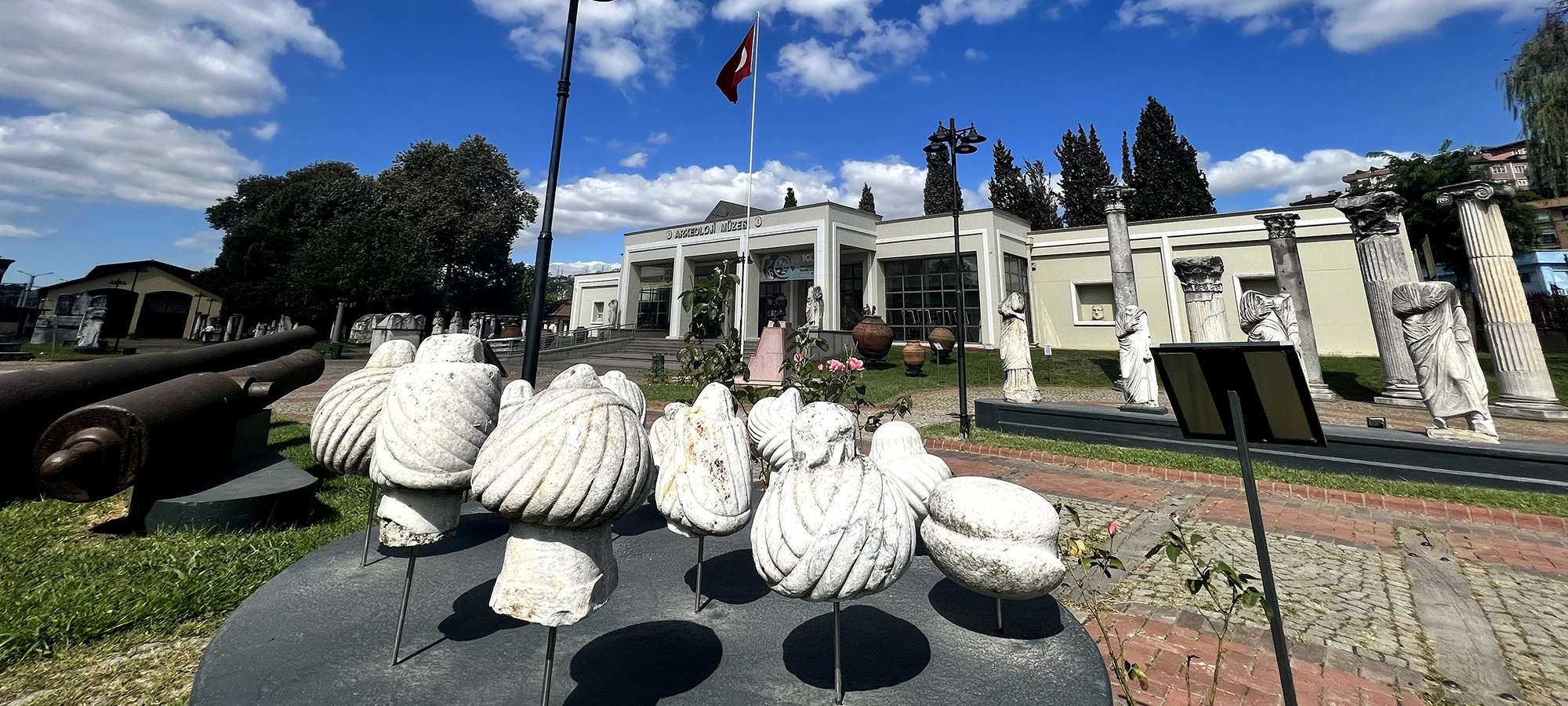
Kocaeli Archaeology Museum
Continue east to İzmit and explore ancient Nicomedia through Roman sculpture, inscriptions, coins and regional archaeology.
Explore the Museum





Eskihisar Castle, or Eskihisar Kalesi, rises above the coastal village of Eskihisar in the Gebze district of Kocaeli. Built on a steep hill overlooking the Gulf of İzmit, the fortress occupied a position from which movement along the shoreline, the harbour below and one of the principal approaches between Constantinople and Nicomedia could be observed and defended.
The castle is usually described as Byzantine, but its exact construction date is more complicated than many short travel guides suggest. Local official sources traditionally connect it with the Komnenian period, while modern architectural research has argued that important surviving parts of the inner castle may belong to the thirteenth century, particularly after Byzantine authority was re-established around the Gulf in 1241. That uncertainty makes Eskihisar especially interesting: it is not a monument with one simple date, but a fortress that appears to have developed through several medieval building phases.
The site consists of an inner castle, an outer defensive enclosure, additional walling often described as a hisarpeçe, and traces of a defensive ditch. Within the complex are towers, gates, walls, a substantial residential structure, brick decoration and a remarkable underground cistern supported by eight columns. The surviving architecture reveals that Eskihisar was not merely a lookout point; it was a carefully organized fortified complex.
Today the castle is one of the most striking historic landmarks around Gebze. Its courtyards have also been used for concerts, film screenings and cultural programmes, allowing the fortress to continue functioning as a public gathering place more than seven centuries after its medieval military role.
Explore a major medieval stronghold associated with the Byzantine defence network of the Gulf of İzmit.
Read the site as a layered defensive complex of walls, towers, gates, courtyards and different construction phases.
Discover the remarkable water system beneath the northwest residential structure, supported by eight columns.
Enjoy one of the most memorable historic viewpoints above Eskihisar, the harbour and the Gulf of İzmit.
Essential information for understanding one of Kocaeli's most important surviving Byzantine fortifications.
Eskihisar Mahallesi,
Gebze / Kocaeli.
Byzantine medieval fortress with several possible construction phases.
Controlled the harbour and approaches along the Gulf of İzmit.
Research records the full complex at roughly 10,831 m², with an inner castle around 2,240 m².
An approximately 6 m deep cistern supported by eight columns survives below the residence.
The castle is periodically used for concerts, cinema nights and municipal cultural events.
Eskihisar matters because its architecture, landscape and history preserve the military geography of medieval northwestern Anatolia.
The first reason Eskihisar Castle is important is its location. The fortress stands on a coastal height between the Istanbul region and the inner Gulf of İzmit. In the medieval period this was a sensitive corridor connecting the Byzantine capital with Bithynia, Nicomedia and the routes leading farther into Anatolia. A fortification here could observe maritime movement while also protecting the settlement and landing places below.
The second reason is the survival of a complex defensive plan. Eskihisar is not simply a single tower. It includes an inner stronghold, outer walls shaped by the hillside, towers of different plans, several gates, additional defensive walling and traces of a ditch. The differences in masonry and construction between these elements suggest that the fortress developed over time rather than being built in one campaign.
The third reason is the castle's connection with the difficult transition from Byzantine to Ottoman power in northwestern Anatolia. Historical discussions surrounding Niketiaton, the events after 1241 and the Battle of Pelekanon in 1329 place the Eskihisar region within one of the most important frontier zones of the late Byzantine world.
Finally, Eskihisar Castle survives within a broader historic landscape. The nearby Osman Hamdi Bey House and Museum, the traditional waterfront settlement, the ferry route and the archaeological layers of Gebze make the castle a natural anchor for exploring the western side of Kocaeli. Visitors following our guide to places to visit in Kocaeli can use Eskihisar as the medieval chapter of a province whose history stretches from ancient Bithynia to the modern industrial age.
The physical setting explains the castle before any written source does. Eskihisar Castle occupies a steep hill immediately above the coast, approximately 35 metres above sea level. From this height the defenders could observe the shoreline, the harbour below and movement through the Gulf of İzmit.
In the medieval period, the Gulf was not a quiet edge of the empire. It formed part of the communications network between Constantinople and the cities, monasteries, military positions and agricultural districts of Bithynia. Controlling coastal landing points therefore had both military and economic value.
The fortress also stood close to the overland corridor between Constantinople and Nicomedia. That combination of road and sea explains why the Eskihisar–Gebze area repeatedly appears in discussions of Byzantine military geography. A castle in this position could protect local settlement while contributing to a broader chain of fortified points around the Marmara and the Gulf.
The castle overlooked the anchorage and coastal approaches of Eskihisar.
Its elevated position offered a commanding view across an important section of the Gulf of İzmit.
The wider Gebze area sat on the route linking Constantinople with Nicomedia and inland Bithynia.
The steep hillside itself strengthened the defensive value of the position.
Coastal castles helped watch shipping, transport and military movement across a contested frontier.
The fortress is best understood together with the shoreline rather than as an isolated ruin.
A precise construction date for Eskihisar Castle has not been established by an inscription. This is why different publications can give different answers. Official local descriptions often associate the fortress with the Komnenian period and sometimes specifically with the reign of Manuel I Komnenos in the twelfth century.
Modern architectural research, however, has introduced an important complication. Comparisons of masonry, framed construction techniques and brick decoration have suggested that major surviving portions of the inner castle may be better placed in the thirteenth century. One scholarly interpretation proposes a date in the second half of that century, after Byzantine authority around the Gulf was restored under John III Vatatzes.
The fortress also preserves evidence of more than one building campaign. Differences where the inner castle, outer castle and additional defensive walling meet suggest separate phases. That means both an earlier origin and later rebuilding are possible, and the question should not be reduced to one absolute year.
For travellers, the safest interpretation is therefore that Eskihisar is a Byzantine fortress with multiple medieval phases. The monument we see today is the result of construction, rebuilding, repair, abandonment and modern restoration over many centuries.
There is no surviving inscription that gives a single unquestionable construction date.
Traditional local accounts connect the castle with the Komnenian dynasty and sometimes Manuel I.
Architectural analysis has compared key masonry and brick details with thirteenth-century Byzantine works.
The inner castle, outer enclosure and later defensive elements were not necessarily built at the same time.
One scholarly dating places major inner-castle work after Byzantine control of the Gulf was re-established.
When a guide gives one exact century without qualification, remember that the dating remains debated.
The Byzantine name of Eskihisar Castle is not completely certain. Researchers have long discussed whether the fortress should be identified with Niketiaton, a name appearing in Byzantine sources and connected with the same general coastal region.
Niketiaton is first associated with a ninth-century monastery founded by the official Sergios. Later Byzantine texts again use the name in connection with a fortified place. Because the geography fits the Eskihisar region reasonably well, many modern researchers consider the identification plausible, but it remains an interpretation rather than an inscription carved on the castle itself.
This distinction matters. If Eskihisar is indeed Niketiaton, the written history of the site becomes considerably richer and connects the fortress with imperial politics, military retreat and the turbulent final centuries of Byzantine rule in Bithynia. If the identification is ultimately revised, the physical castle remains important, but some of those textual episodes would need to be reassigned elsewhere.
A Byzantine place-name associated in sources with a monastery and later a fortified location.
Many researchers connect Niketiaton with Eskihisar, but the identification is not absolutely proven.
The name appears in connection with a monastery founded by Magistros Sergios.
The Eskihisar–Gebze coast contained several settlements and forts whose ancient and Byzantine names are still debated.
The year 1241 is important in discussions of Eskihisar because Byzantine historian George Akropolites records events connected with the region during the reign of John III Vatatzes. This was the period of the Empire of Nicaea, when Byzantine rulers based in western Anatolia were rebuilding their strength after the capture of Constantinople by the Fourth Crusade in 1204.
Control of the Gulf of İzmit was strategically important to the Nicaean state. Recovering positions around the coast strengthened communications between western Anatolia and the approaches to Constantinople. For this reason, the middle decades of the thirteenth century provide a convincing historical setting for major fortification work in the Eskihisar area.
The architecture supports the idea that the fortress was not static. Masonry differences suggest several phases, and some modern scholarship compares the inner castle with other fortifications associated with the Laskarid period. The exact sequence remains open to debate, but 1241 helps place Eskihisar within the larger recovery of Byzantine military power around the Marmara.
After 1204, Byzantine imperial power survived in western Anatolia under the Laskarid dynasty.
His reign was a major period of territorial recovery and consolidation.
Fortified coastal positions supported movement and defence around the Sea of Marmara.
Some construction techniques at Eskihisar have been compared with thirteenth-century Laskarid fortifications.
One of the most dramatic stories associated with the fortress concerns John IV Laskaris, the young emperor displaced by Michael VIII Palaiologos. Byzantine sources record that John IV was blinded and imprisoned after Michael VIII consolidated power. Later accounts associate his confinement with a fortress called Niketiaton.
Because many researchers identify Niketiaton with Eskihisar, the castle has consequently been proposed as the place where the deposed emperor lived under guard. The substantial rectangular building in the northwest corner of the inner castle has even been discussed as a possible aristocratic residence appropriate to a high-status prisoner.
This is a fascinating possibility, but it should remain exactly that: a historical interpretation. The surviving building itself does not carry an inscription naming John IV. Its scale, windows, internal circulation and residential character make the connection plausible, while the identification of Eskihisar with Niketiaton provides the textual bridge.
The young Laskarid emperor was removed from power after the restoration of Byzantine Constantinople.
Sources connect his later confinement with a fortress carrying the Niketiaton name.
Eskihisar's northwest structure has been interpreted as a high-status residence rather than a simple defensive tower.
The association is historically attractive but cannot be treated as an archaeologically proven identification.
The Battle of Pelekanon in 1329 was one of the decisive military episodes in the Byzantine–Ottoman struggle for northwestern Anatolia. Emperor Andronikos III Palaiologos and his forces confronted the army of Orhan, but the Byzantine campaign failed to break Ottoman pressure on the Bithynian cities.
Sources describing the retreat refer to fortified points in the wider Gebze–Eskihisar zone, including Niketiaton. If the standard identification with Eskihisar is accepted, the castle formed part of the network into which Byzantine forces withdrew after the battle.
The importance of Pelekanon is larger than one battlefield. After the Byzantine failure, relieving the great cities of Bithynia became increasingly difficult. Nicaea fell to the Ottomans in 1331 and Nicomedia followed in 1337. Eskihisar therefore belongs to the landscape in which Byzantine control of northwestern Anatolia was gradually reduced.
The Battle of Pelekanon marked a major Byzantine failure against the rising Ottoman state.
Ottoman pressure on Bithynia intensified during the reign of Orhan.
Late Byzantine forces relied on the remaining castles and walled settlements of the region.
The battle helped expose Nicaea and Nicomedia to continuing Ottoman pressure.
As Ottoman power expanded across Bithynia during the fourteenth century, the strategic environment that had produced Eskihisar Castle changed fundamentally. The old Byzantine defensive network was gradually absorbed into Ottoman territory.
Local and national heritage sources state that Eskihisar Castle continued to be used during the Ottoman period. Its harbour-side position remained useful even after the fortress was no longer defending a Byzantine frontier. Like many medieval castles, its military role would have changed according to the security, transport and administrative needs of later centuries.
By the modern period, the settlement below the castle had developed a different identity. Eskihisar became associated with ferry traffic, waterfront life and, in the nineteenth century, Osman Hamdi Bey, who built his house nearby. The medieval fortress therefore became one historic layer within a village that continued to evolve around the same strategic coast.
The Ottoman conquest transformed the castle from a Byzantine border defence into a fortification within Ottoman territory.
Official heritage sources note that the castle also saw use in the Ottoman period.
Eskihisar remained tied to the Gulf, transport and harbour activity long after the medieval military era.
The castle, village and Osman Hamdi Bey House reveal very different periods within a compact area.
Architectural study describes Eskihisar Castle as a complex of several connected defensive zones. At the summit is a rectangular inner castle. Around the slope lies an outer castle adapted to the topography, while additional defensive walling and traces of a ditch strengthen the northern and western approaches.
Research records the entire fortified area at approximately 10,831.5 square metres, measuring roughly 130.5 by 83 metres. The inner castle occupies around 2,240 square metres, approximately 64 by 35 metres. These dimensions help explain why the site feels considerably larger than a simple coastal watchtower.
Different parts of the walls use different combinations of rubble stone, brick and framed masonry techniques. At the points where building phases meet, visible changes in materials and construction provide clues that the castle was enlarged or rebuilt over time.
A rectangular fortified core positioned on the highest part of the hill.
An irregular enclosure following the slope and expanding the defended area.
Additional defensive walling strengthened vulnerable approaches outside the main enclosure.
Traces of a defensive ditch have been identified on the northern side.
Changes in masonry technique help scholars separate different building campaigns.
The outer fortifications respond directly to the shape and steepness of the hillside.
The inner castle occupies the summit and forms the most regular part of the complex. Its rectangular enclosure runs approximately east–west and was protected by square-planned towers. Three stand at corners other than the northwest, while another is positioned along the northern wall.
The principal western entrance originally appears to have passed through a deep vaulted passage. This controlled entry arrangement would have forced movement through a confined defensive zone before reaching the inner courtyard. A second arched doorway existed near the point where the northern wall meets the northwest residential building.
The inner castle was more than a last defensive refuge. The substantial residence, cistern and circulation between walls and upper levels indicate an organized space capable of supporting people for extended periods. Understanding that domestic side of the fortress is essential: medieval castles had to function as places of residence, storage and command as well as defence.
The inner enclosure is the most geometrically regular part of Eskihisar Castle.
Four square-planned defensive towers strengthen the inner fortification.
The main western entry once passed through a deep covered space.
The inner castle occupies the strongest natural position on the hilltop.
The northwest building shows that the fortified core included living accommodation.
A large cistern beneath the residence strengthened the ability to remain inside the castle during crisis.
At the northwest corner of the inner castle stands a large rectangular building whose north and west walls are integrated with the fortifications. Its windows, internal stair, beam sockets and traces of floor levels indicate that it was designed for habitation rather than functioning only as a solid defensive tower.
The building appears to have had at least two principal levels. A staircase built into the eastern wall provided access upward, while doorways at higher levels connected the residence with the surrounding wall walk. This arrangement allowed an occupant to move between private interior space and the defensive perimeter.
The structure is especially important because of its residential character. Scholars have discussed whether it could have accommodated a high-status resident and whether, if Eskihisar really was Niketiaton, it might relate to the imprisonment of John IV Laskaris. That interpretation remains unproven, but the architecture itself confirms that the castle contained accommodation of unusual scale and quality.
Wall sockets and internal circulation show that timber floors divided the tall interior.
Arched openings gave the building more light and a more residential character than a solid tower.
Upper doorways connected the building to the castle's defensive circulation.
Its size and design have encouraged interpretations involving an aristocratic occupant or guarded residence.
One of Eskihisar Castle's most remarkable archaeological features lies beneath the northwest residence. Excavation work around 2000 revealed a substantial underground cistern supported by eight columns arranged in two rows of four.
The cistern is approximately six metres deep. Its interior surfaces were plastered to retain water, and the junctions between the floor and walls were rounded to reduce pressure and improve waterproofing. Archaeologists also identified channels and pipe traces showing how water entered and circulated through the system.
A dependable water supply was essential to any fortress expected to survive isolation or siege. The cistern therefore tells us as much about Eskihisar's military planning as its towers do. Walls could keep an enemy out, but the defenders still needed water every day.
The Culture Portal describes the cistern as an eight-column structure with multiple vaulted compartments. The archaeological study records that its upper area was covered during later repair work, so visitors should not expect unrestricted access to a fully open underground chamber during an ordinary visit.
Two rows of four supports carried the vaulted structure above the cistern.
The depth gave the castle a substantial protected water reserve.
Interior surfaces were designed to hold stored water safely.
Archaeological traces reveal how water was directed into the underground system.
Stored water was one of the most important logistical requirements of a defended hilltop site.
The cistern became much better understood through modern excavation and documentation.
The outer castle wraps around the inner stronghold in an irregular form determined by the slope. Architectural research describes it as enclosing an approximately L-shaped area and joining the inner castle near the northwest and southeast corners.
The outer enclosure includes horseshoe-shaped and rectangular towers. One detailed study records seven towers in the outer castle itself, while broader local descriptions count the bastions of the full complex differently and commonly state a total of ten. The difference comes from whether individual defensive zones are being counted separately.
The principal northern entrance lies between two projecting horseshoe-shaped towers. Other entrances opened through the western and southern walls. Narrow openings, buttresses and changes in wall thickness show how the builders adapted the fortress to both topography and changing defensive requirements.
The principal approach is defended by projecting towers that create a strongly framed entrance.
Rounded projecting forms increase visibility and defensive coverage along the walls.
Other parts of the enclosure use square or rectangular defensive projections.
The wider complex includes several controlled entry points rather than one single doorway.
Structural projections reinforce long stretches of wall on the sloping ground.
Published tower totals can vary because some sources describe the entire fortress and others separate inner and outer works.
At first glance Eskihisar Castle appears dominated by heavy defensive masonry. Look more carefully and you will find decorative brickwork that gives the fortress a distinctly Byzantine visual character.
On the northwest residence, researchers have documented a sun-disc-like brick motif, a geometric motif resembling a hooked cross, and herringbone arrangements made from brick. Additional geometric brick patterns survive on parts of the outer towers.
These details are valuable because decoration and masonry technique can help art historians compare Eskihisar with other Byzantine fortifications. They also remind visitors that medieval military architecture was not always purely functional. Even defensive buildings could carry carefully arranged patterns visible to residents and visitors.
Alternating and framed masonry techniques create visible texture across the walls.
A radial brick design appears on the western face of the residence.
Small groups of bricks form decorative chevron-like patterns.
Masonry and decorative techniques help scholars compare the castle with other Byzantine buildings.
Many of the best details are above eye level, around windows and higher wall surfaces.
Use a zoom lens or phone telephoto mode to record patterns without approaching fragile masonry.
Eskihisar Castle has undergone several modern conservation campaigns. Academic research records that the monument was formally registered in 1969, when restoration was begun but not completed. Smaller repairs were later carried out on parts of the southern and western walls in 1989.
A major step came with archaeological work by the Kocaeli Museum in 1994. Those excavations helped clarify parts of the castle plan and revealed architectural features that had been buried or poorly understood. A larger restoration followed in 1998, including reconstruction work around the northern main entrance and the development of the performance area in the outer courtyard.
The 1999 Marmara earthquake damaged the fortress. Further repairs were carried out in 2001, particularly around the northwest residential building. The underground cistern also became better known through archaeological investigation around this period.
These modern interventions are part of the castle's story. Visitors should remember that not every stone visible today stands exactly as it did in the thirteenth century. Some areas have been stabilized or reconstructed so that the monument can survive and continue to be used.
The castle was registered and an early repair campaign was begun.
Smaller repairs were made to sections of the southern and western walls.
Kocaeli Museum excavations contributed important archaeological information.
A major restoration included work at the northern entrance and outer-courtyard performance area.
The Marmara earthquake caused fresh damage to parts of the castle.
Post-earthquake conservation focused especially on the northwest residential structure.
Modern restoration gave the outer courtyard a new public role. Official culture information describes a performance area with capacity for roughly 1,025 people, and the castle entrance and courtyard have been used for concerts and cultural activities.
In recent years, Gebze Municipality has continued to organize Eskihisar Castle Culture and Art Evenings. Programmes have included film screenings, concerts, folk performances, children's events and stage shows. In 2025 and again in 2026, summer events brought large audiences into the historic setting.
This living use is one of the pleasant surprises of Eskihisar. A visitor may arrive expecting an abandoned medieval ruin and instead find a place that still plays a role in local cultural life. Event access, seating arrangements and restricted areas can differ from an ordinary daytime visit, so check the municipal programme if you are coming specifically for an evening performance.
The outer courtyard includes an event area adapted for large audiences.
Recent programmes have used the castle for concerts, cinema and family events.
Many recent Gebze Municipality culture programmes at the castle have been open to the public free of charge.
Music and film screenings take place against the background of medieval walls and Gulf views.
The most memorable visual feature of Eskihisar Castle is the relationship between the fortress and the Gulf of İzmit. From the elevated site, views open across the coast, the village rooftops, the harbour and the broad waterway beyond.
For wide photographs, step back enough to include both the walls and the landscape. The castle becomes far more meaningful when the water is visible because the panorama explains its defensive purpose. From below, the opposite composition works equally well: photograph the fortress rising above the houses and waterfront.
Inside the complex, focus on arched openings, brick patterns, wall textures, projecting towers and the contrast between restored sections and older masonry. Late-afternoon light often gives the stone a warmer tone, while sunset can produce dramatic views over the Gulf.
Include water in your frame to communicate the fortress's strategic geography.
The waterfront gives one of the best perspectives on how strongly the castle dominates the hill.
The main entrance and projecting towers create strong architectural compositions.
Look for geometric patterns and framed masonry around the residence and towers.
Late light can soften the stone and improve visibility across the Gulf.
Do not climb walls or cross restricted areas for photographs.
Eskihisar Castle can work well for families because its history is easy to visualize. Instead of asking children to read long museum labels, turn the visit into a simple question: How would you defend this hill?
Ask them to find the main gate, count different tower shapes, identify the inner and outer castle, look toward the harbour and imagine how water was stored inside the cistern. The site becomes much more engaging when each architectural feature has a practical purpose.
The main caution is terrain. The castle stands on a hill, and surfaces may be uneven. Young children should be supervised closely near walls, steps, slopes and any restricted archaeological areas.
Compare square, rectangular and rounded defensive forms.
Use the Gulf view to explain why the castle was built on this exact hill.
Explain why a cistern was essential when a fortress could be surrounded during conflict.
Uneven historic surfaces and slopes require more supervision than a modern park.
After the castle, Eskihisar's seafront provides an easy place for a family break.
Summer municipal programmes sometimes include activities specifically for children.
Eskihisar Castle is more challenging than a purpose-built museum. The monument occupies a steep coastal hill, and historic paving, slopes, steps and changing ground levels can make full exploration difficult for visitors with limited mobility.
Modern landscaping and event use have improved access to parts of the site, but this does not mean that every medieval wall, tower or upper area is step-free. Temporary barriers, conservation work or event installations can also change the route.
Visitors who use wheelchairs, walking aids or strollers should confirm the current entrance arrangement before travelling. Even when the principal courtyard is accessible, some archaeological or elevated sections may remain impractical.
The castle's defensive hill is naturally more demanding than the flat waterfront below.
Historic paving and archaeological ground require careful movement.
Large public events demonstrate that substantial areas can accommodate audiences, but routes can vary.
If step-free access is essential, ask Gebze Municipality about the current usable route.
Look over the Gulf first so the castle's strategic purpose becomes immediately clear.
Try to identify the inner castle, outer enclosure and later defensive additions rather than seeing one continuous wall.
Differences in brick and stone construction reveal the castle's multiple building phases.
The reward is architecture, landscape and historical context rather than furnished interiors.
Hill slopes and uneven surfaces are easier with supportive footwear.
In warm weather the exposed hill can feel considerably hotter than the waterfront.
Concerts or municipal programmes can change access and crowd levels.
Daily access conditions can vary, so check current local announcements before travelling only for the castle interior.
Begin at Eskihisar Castle while you have enough energy for the hill and uneven ground. Spend around 45–60 minutes exploring the fortifications, viewpoints, towers and courtyard.
Continue downhill toward the Osman Hamdi Bey House and Museum. The nineteenth-century house introduces an entirely different chapter of Turkish cultural history through the life of the painter, archaeologist and pioneering museum administrator Osman Hamdi Bey.
From there, walk through Eskihisar's waterfront. Small boats, coastal paths and the ferry landscape place the fortress back into its geographic context. Looking uphill from the shore gives one of the best overall views of the castle.
If you are travelling by car and want a longer Gebze history day, continue toward Hünkar Çayırı and the Hannibal Memorial. Together, the route moves from ancient and Byzantine history to Ottoman memory and nineteenth-century cultural heritage.
Eskihisar Castle – Byzantine fortifications, medieval Bithynia and Gulf views.
Osman Hamdi Bey House – art, archaeology and one of Türkiye's most important cultural figures.
Eskihisar Waterfront – harbour atmosphere, coastal walking and views back toward the castle.
Hünkar Çayırı – a major site associated with the final campaign of Sultan Mehmed II.
Hannibal Memorial – a reminder of the ancient strategic importance of the wider Gebze–Libyssa region.
Continue east toward İzmit for archaeology, Ottoman architecture and industrial heritage.
Enough only for the main viewpoint, gate area and a quick look at the walls.
A good minimum for most visitors who want to explore the castle without rushing.
Ideal if you enjoy architecture, photography and reading the different defensive zones.
Combine the castle with the nearby Osman Hamdi Bey House area.
Add the waterfront, lunch and a longer walk around Eskihisar.
Include additional Gebze heritage such as Hünkar Çayırı and the Hannibal Memorial.
Eskihisar Castle is a protected historic monument in Eskihisar, Gebze. Official tourism pages provide extensive historical information, but they do not currently publish one consistently verifiable daily timetable for ordinary castle visits. For this reason, travellers should avoid relying on older opening-hour listings without checking current local information.
The castle is actively used for municipal cultural events. Gebze Municipality organized public programmes in the castle during summer 2026, including concerts and children's events, confirming that the site continues to function as an event venue. However, event access does not necessarily mean that every part of the monument is open every day.
Recent municipal cultural programmes have generally been free of charge. For an ordinary daytime visit, no standard ticket price is currently stated on the principal official destination pages used for this guide. Because interior access, restoration works or event preparations can change, check current Gebze Municipality announcements before making a special journey.
Eskihisar Kalesi / Eskihisar Castle.
Eskihisar Mahallesi, Gebze / Kocaeli.
No single current official timetable could be confirmed for ordinary 2026 visits; verify before departure.
Municipal concerts and culture evenings continue to use the castle.
Recent municipal events have been free; ordinary daytime access conditions should be checked locally.
Byzantine history, castles, photography, Gulf views, medieval architecture and Gebze heritage.
Eskihisar Castle is in Eskihisar Mahallesi, south of central Gebze and close to the Gulf of İzmit. The castle is visible from parts of the shoreline because it rises directly above the village on a steep hill.
From Istanbul, drivers can use the main motorway or D-100 corridor toward Gebze and then follow signs for Eskihisar and the ferry terminal. The final approach leaves the main transport axis and descends toward the coast before climbing toward the castle.
By public transport, reach Gebze first. Marmaray and regional rail services make Gebze one of the easiest parts of Kocaeli to reach from Istanbul. From Gebze station or central Gebze, continue by local minibus, bus or taxi toward Eskihisar.
Travellers arriving from the Yalova / Bursa side may also know Eskihisar because of the nearby Topçular–Eskihisar vehicle-ferry route. The ferry terminal and castle are separate destinations, so navigate specifically to Eskihisar Kalesi rather than stopping at the terminal.
Follow Gebze–Eskihisar signs, then navigate directly to Eskihisar Kalesi for the final hill approach.
Use Marmaray or regional rail to Gebze, then continue by local road transport.
A taxi from Gebze is straightforward and avoids uncertainty about the final uphill approach.
The Eskihisar ferry area is nearby for travellers coming from the Yalova side of the Marmara.
Walking from the waterfront is possible, but expect a noticeable uphill climb to the fortress.
Eskihisar works well as a day-trip stop or as the first Kocaeli heritage visit after leaving Istanbul.
The roads around Eskihisar Castle are narrower and steeper than the broad transport routes around central Gebze. Parking immediately beside a medieval hilltop monument can therefore be limited, especially during weekends and municipal events.
If the upper area is busy, use legal parking lower in Eskihisar and walk the final section. This can actually improve the visit because the approach from below reveals how dramatically the fortress dominates the settlement.
During concerts, cinema nights and other large programmes, temporary traffic control or event arrangements may change the normal approach. Follow current municipal signs and staff directions rather than relying entirely on an older map pin.
Weekends and event evenings can make the limited upper approach noticeably busier.
If you park near the waterfront, allow extra time for the uphill walk.
Eskihisar's local roads serve residents as well as visitors.
Follow temporary traffic and parking instructions when the castle is hosting a programme.
Eskihisar Castle sits in a surprisingly rich historic landscape. Within the wider Gebze area, Byzantine fortifications, nineteenth-century art history, Ottoman memory, ancient geography and the Gulf waterfront can all be connected in one day.
Use our complete Kocaeli travel guide to continue beyond Gebze into İzmit, Kartepe, Kandıra and the wider province.
The historic Eskihisar residence of the painter, archaeologist and pioneering museum administrator.
Walk beside the Gulf and look back toward the castle from below.
A modern transport landscape that continues the settlement's centuries-old relationship with the sea route.
A Gebze landmark associated with Sultan Mehmed II and his final military campaign in 1481.
A monument recalling the ancient Libyssa tradition and the final years of the Carthaginian commander Hannibal.
One of Gebze's most important Ottoman architectural ensembles.
A dramatic nature area north of Gebze for hiking, cliffs and a completely different side of Kocaeli.
Continue east for ancient Nicomedia, Ottoman landmarks, museums and the SEKA industrial-heritage landscape.
It is in Eskihisar Mahallesi, Gebze, Kocaeli, on a steep hill above the Gulf of İzmit.
It is a medieval Byzantine fortress built to control and protect the coastal approaches, harbour and transport corridor around Eskihisar and the Gulf of İzmit.
The exact date is debated. Traditional local accounts connect it with the Komnenian period, while modern architectural research argues that important surviving sections may belong to the thirteenth century.
Some official local descriptions attribute the castle to the Komnenian period and specifically Manuel I, but the surviving architecture has also been dated later by modern scholars. It is safest to describe the monument as a Byzantine fortress with several medieval phases.
Many researchers identify Eskihisar with the Byzantine fortress known as Niketiaton, but the identification is generally treated as probable rather than absolutely proven.
The wider region re-entered Byzantine control during the reign of John III Vatatzes. This historical context is important because some scholars date major castle construction to the period after 1241.
Byzantine sources associate the deposed emperor's imprisonment with Niketiaton. If Niketiaton is correctly identified with Eskihisar, the castle may have been his place of confinement, but the connection is not archaeologically proven.
It was a major Byzantine–Ottoman battle fought in 1329 in the wider region. Byzantine forces failed to stop Ottoman pressure on Bithynia, and fortified places around Gebze and the Gulf became important during the retreat.
Architectural research records the full fortified area at roughly 10,831.5 m², while the inner castle covers approximately 2,240 m².
Counts vary according to whether the inner and outer defensive zones are combined. Gebze Municipality describes the overall complex as having ten bastions, while detailed architectural research separately records four inner-castle towers and seven towers in the outer enclosure.
Local official descriptions commonly state four gates for the overall castle, while detailed studies describe separate entrances within the inner and outer defensive systems.
The underground water system beneath the northwest residence is supported by eight columns and is approximately six metres deep, showing how seriously the fortress was prepared for a secure water supply.
Yes. Brick motifs, herringbone arrangements and geometric patterns survive on parts of the residence and towers.
Yes. The site underwent several repair campaigns, including work after excavations in the 1990s and further conservation following damage from the 1999 Marmara earthquake.
The outer courtyard includes a modern performance area developed during restoration. Official cultural information gives a capacity of approximately 1,025 people.
Yes. Gebze Municipality has used the castle for summer culture and art programmes including concerts, film screenings, children's events and stage performances.
Recent municipal events at the castle have been free of charge. No consistently published 2026 ordinary daytime ticket price was found on the principal official destination pages, so verify current access conditions before travelling.
A single reliable daily timetable for ordinary 2026 castle visits is not consistently published on the official pages used for this guide. Check current Gebze Municipality information because interior access can vary with maintenance and events.
Around 45–60 minutes is ideal for most visitors. Allow longer if you want to photograph details or continue to the waterfront and Osman Hamdi Bey House.
Yes, especially if you turn the visit into a simple exploration of towers, gates, walls and the harbour view. Supervise children closely around uneven ground and historic structures.
The hilltop setting, slopes and uneven historic surfaces can make full exploration difficult. Confirm the current step-free route if accessible access is essential.
Yes. Gebze is easily reached from Istanbul by road and Marmaray, making Eskihisar practical as a day-trip stop or part of a wider Kocaeli itinerary.
Yes. Continue from Gebze railway station by local minibus, bus or taxi toward Eskihisar.
The easiest combination is the Osman Hamdi Bey House area and Eskihisar waterfront. With more time, add Hünkar Çayırı, the Hannibal Memorial and central Gebze heritage.
Yes. It is especially rewarding for travellers interested in Byzantine history, medieval fortifications, photography, coastal landscapes and lesser-known historical sites near Istanbul.
Historic masonry can be unstable, and repeated climbing accelerates damage.
Restricted zones may protect fragile archaeology or areas awaiting conservation.
Even loose fragments can be part of the archaeological record.
Avoid creating shortcuts across archaeological surfaces or planted conservation areas.
Historic walls and slopes are not designed as playground structures.
Carry rubbish out and respect the castle as both a monument and community venue.
Follow municipal staff instructions when performances or public programmes are taking place.
Never cross barriers or stand on vulnerable masonry simply to improve a camera angle.
Eskihisar Castle opens the door to a region where Byzantine fortifications, Ottoman monuments, archaeology, industrial heritage and the landscapes of the Gulf can all be connected.
Combine Eskihisar's medieval history with museums, city landmarks and nature across the province.
Continue east to İzmit and explore ancient Nicomedia through Roman sculpture, inscriptions, coins and regional archaeology.
Explore the Museum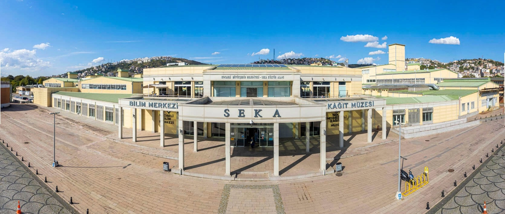
Jump from medieval fortifications to twentieth-century industry inside the preserved machinery halls of İzmit's historic SEKA paper factory.
Explore SEKA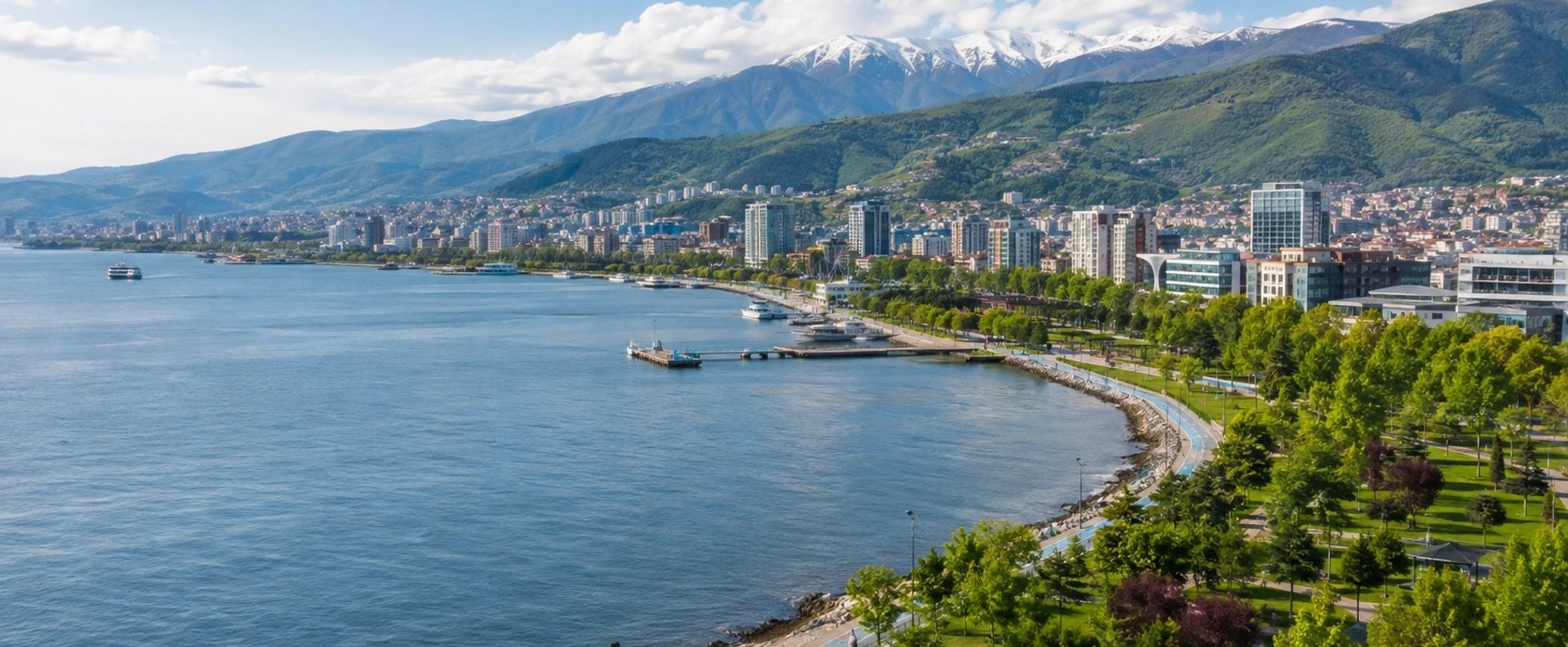
Discover the Gulf of İzmit, Gebze, Kartepe, Kandıra, historic sites, nature parks and regional food traditions.
Explore KocaeliWe can combine Kocaeli with Istanbul, Cappadocia and destinations throughout Türkiye.
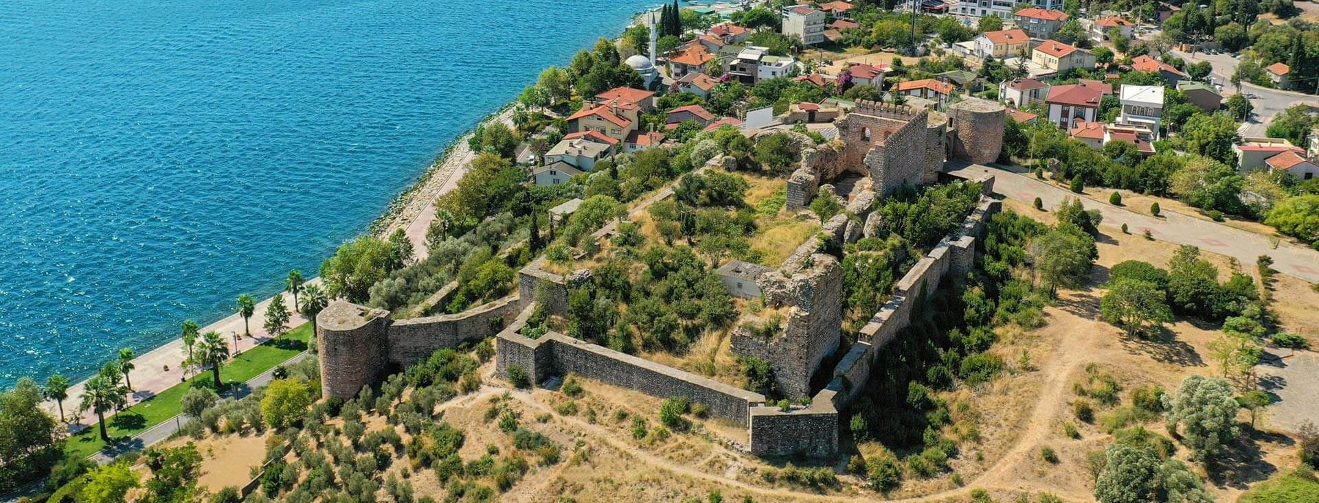
Build a private day around Eskihisar Castle, Osman Hamdi Bey, the Gulf waterfront, Ottoman Gebze and the region's ancient history.
Plan Your Journey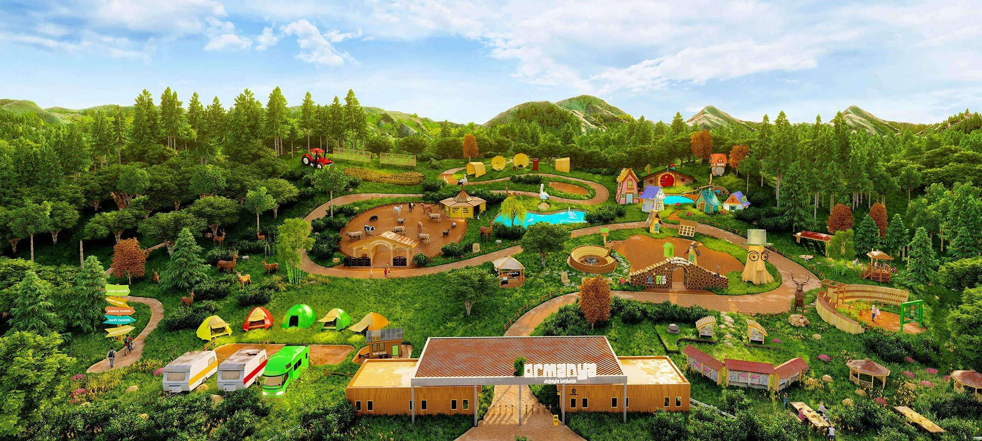
Exchange fortress walls for forests, wildlife, walking trails, family areas and one of Kocaeli's best-known nature attractions.
Explore Ormanya
Continue throughout Türkiye with Byzantine monuments, archaeological sites, historic cities, mountains, coastal landscapes, food traditions and cultural heritage.
Explore Türkiye